


Beaver Dick Park
Rexburg, Idaho

| Address: | Highway 33 and 6000 West, Rexburg, ID 83440 |
| GPS: |
43°49'30.3"N 111°54'20.7"W Maps | Directions |
| State: | Idaho |
Restrooms Picnic Tables Rivers Fishing State Park
Camp, Canoe, Disc Golf, and Swim
Beaver Dick is a park 4.5 miles west of Rexburg, Idaho on Hwy 33. It's a 9.5 acre park that passes next to the west bank of the Henry Fork of the Snake River; it's a popular place for swimming, fishing and other water activities such as boating and canoeing.
Within the campgrounds, there are fire pits, pavilions for social events and gatherings, bathrooms and a playground for the kids. It almost makes for good rounds of walks around the outskirts of the Snake River while enjoying the scenery.
History:
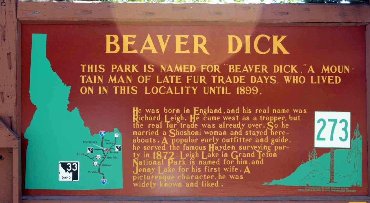
The park was named after an English-American named Richard Leigh. He was reportedly given the moniker "Beaver Dick" by LDS president Brigham Young for his beaver trapping abilities. As a young boy, he left England and moved to the United States to make a living as a fur trapper and eventually, fought in the Mexican war at 17 years old. He traveled throughout the Teton laying traps for beavers for fur, hunting and mapping out the Fire-Hole [Yellowstone Park], Jackson Hole and west of the Tetons in his journal. He became a fluent speaker of the Bannock and Shoshone language, met and married a native American woman named Jenny and had 6 children. The family adopted a child that contracted smallpox; the family of the child died. The family, including the adopted child, died of smallpox and Beaver Dick survived. He later remarried to a Bannock Indian named Susan Tadpole in 1979 and had 3 children. He lived the rest of his life as a mountain man but in 1899, he passed away of a serious illness and was buried beside his family overlooking his ranch in Rexburg, Idaho. He will be remembered as a skilled hunter, trapper and an expert in exploration and settlement of the Tetons, guiding travelers and explorers throughout the mountain west.
Tips:
-Bring water; there are no water fountains
-Bring life jackets in case of strong water currents during swimming
-Beaver Dick is open 7 days a week
-Make camping reservations in advance; first come, first serve
Camping Fees:
- $5 a night or $15 for all 5 day/night stays
For reservations, information, questions or concerns:
-Phone number: (208)-356-3139
-Website: https://www.co.madison.id.us/departments/parks-recreation/30-beaver-dick-park
The use of this field for playing paintball is now prohibited. Please take better care of the fields we are permitted to use.
More Information
Beaver Dick Leigh, Mountain Man of the Tetons | WyoHistory.org
Trapper, ferryman, hunting guide and Mexican War veteran Beaver Dick Leigh lived an active and colorful life on both sides of the Tetons in the mid and late 19th century. Leigh, Jenny and Beaver Dick—now String—lakes in Jackson Hole are named for him and for his first wife, an Eastern Shoshone from Washakie’s band.
https://www.wyohistory.org/encyclopedia/beaver-dick-leigh-mountain-man-tetonsBeaver Dick Park - Rexburg Online
Beaver Dick Park was named after “Beaver Dick” (Richard Leigh) who was one of the last of the real mountain men of this valley. This is a great camping
https://www.rexburgonline.com/things-to-do/beaver-dick-park/Beaver Dick Park: The Legend Behind The Name - Explore Rexburg
We’ve sifted through historical records, archived diary transcripts, and the like to bring you the history of Beaver Dick park.
https://explorerexburg.com/beaver-dick-legend-behind-name-2/
- Plan Ahead and Prepare
- Travel & camp on durable surfaces
- Dispose of waste properly
- Leave what you find
- Minimize campfire impacts
- Respect wildlife
- Be considerate of other visitors
Directions
From Rexburg, Idaho
- Head north on S 3rd W toward W 1st S (0.2 mi)
- Turn left onto ID-33 W (5.8 mi)
- Turn left (167 ft)
- Turn leftDestination will be on the right(459 ft)
1. From Rexburg, go West on Hwy 33 about 4.5 miles past Hwy 20.
2. The park is on the left just after the river.
3. Parking is immediate when you turn in.
kwhitfield
5/7/20 1:37 pmtasiawhicker
1/17/19 8:30 amsmbrady17
5/1/18 12:34 pmCarla
7/28/17 1:53 pmkatiemia
9/10/16 1:19 pm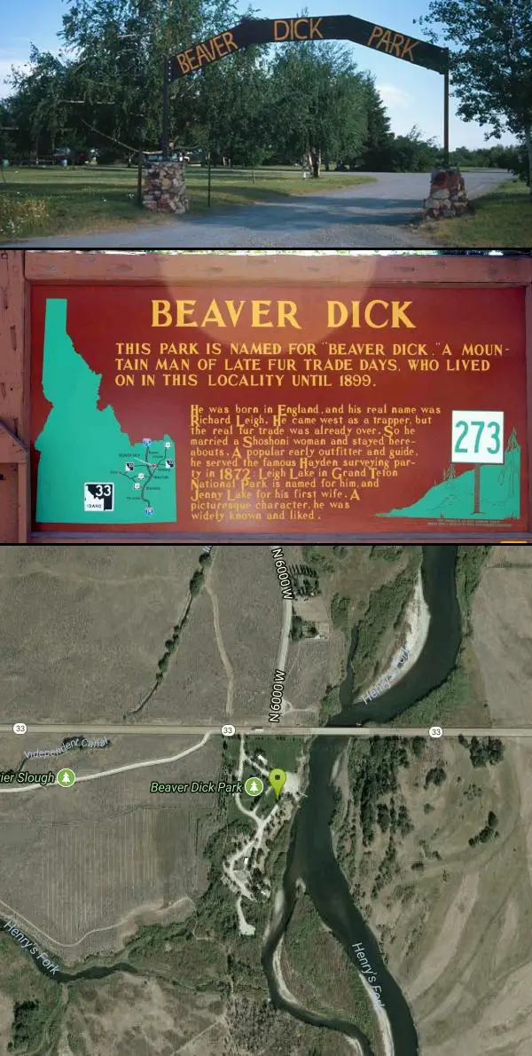


Other Swimming Holes, Canoeing Areas, and Folf Courses Nearby
Warm Slough Campground
Rexburg, Idaho
3.7 miles NEA popular river campground with two boat ramps and an easy, slow-moving inner tube float — the take-out is 1,000 feet from the put-in, making multiple runs a breeze.
Airsoft, Camp, Canoe 0.1-0.3 mi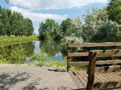
Rexburg Nature Park
Rexburg, Idaho
5.3 miles EA peaceful 15-acre nature park near the South Fork of the Teton River with duck ponds, wildflowers, playground, fishing ponds, bike trails, and easy walking paths — next to a golf course and disc golf.
Disc Golf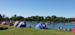
Jefferson County Lake (AKA Rigby Lake)
Rigby, Idaho
8.7 miles SSandy beaches, two floating docks with a slide, volleyball, playgrounds, and a safe swim zone — Jefferson County Lake is eastern Idaho's go-to summer swimming spot.
Camp, Canoe, Dive, Kayak, Sled, Swim
Egin Lakes
Saint Anthony, Idaho
9.9 miles NUnusually shallow, sandy lakes on the gateway to the St. Anthony Sand Dunes — great for water games in 2-to-3-foot-deep water, the closest thing to a real beach in SE Idaho.
Sled, Swim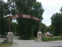
Twin Bridges Park
Rexburg, Idaho
12.6 miles SEA 27-acre Snake River park between two bridges near Rexburg with shaded campsites, fire pits, pavilions, a playground, and BLM ground for hiking and hunting on three sides.
Camp, Canoe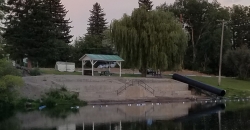
St. Anthony Sandbar
Saint Anthony, Idaho
14.9 miles NECLOSED. //// Sand Bar Update //// ***As of 27 June 2019 *** The Sand Bar is still closed to ALL swimming, please do not cross the boundary line. We are closely monitoring the river flows (currently at 2100 CFS) we typically like to see the levels at approximately 1200 CFS before swimmers are allowed in the water. We are anticipating opening the Sand Bar to swimmers very soon, we ask that you be patient and respect the closure until then. SAPD. A community river park with 60-plus years of history — water slide, diving board, floating platform, sandboxes, playground, and roped shallow and deep swimming areas on Henry's Fork.
Dive, Swim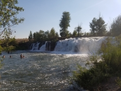
Monkey Rock
Saint Anthony, Idaho
16.4 miles NECLOSED. PSA: Monkey Rock is no longer open to the public. The owner has posted "No Trespassing" signs and is asking the Fremont County Sheriff's Office to assist with keeping people out of their private property. We would like to remind those who may choose to ignore the "No Trespassing" signs that trespassing is a misdemeanor and will not be tolerated. A summer waterfall you can wade right up to, with shallow swimming for small children, a popular engagement photo backdrop, and a deeper jump pool down the road at Hog Hollow Bridge.
Swim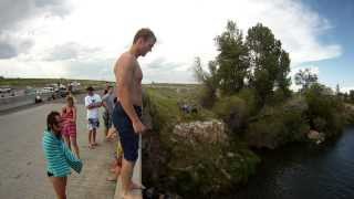
Hog Hollow Bridge
Saint Anthony, Idaho
16.6 miles NEA 25-foot jump off an active roadway bridge into deep water — exciting, but stay aware of truck traffic and always check the water for rocks and debris before leaping.
Dive, Swim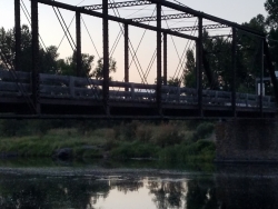
Fun Farm Bridge
Saint Anthony, Idaho
17.7 miles NEJump from road level, the bridge top, or the bars below at the Funny Farm Bridge — still an active road, so stay alert for vehicles, especially large trucks.
Dive, Swim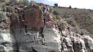
Blacktail Day Use Area
Ririe, Idaho
18.8 miles SECliff jumping from almost nothing up to 80 feet, plus rock climbing routes, on the north end of Ririe Reservoir — $3–$5 daily fee applies.
Dive, Rock Climb, Swim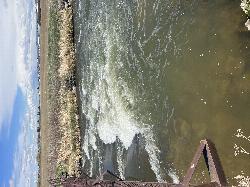
Double Tap wave feature
Idaho Falls, Idaho
21.1 miles STwo back-to-back whitewater features in an Idaho Falls irrigation canal — an open dam wave and a lava-shelf drop — give kayakers a quick urban freestyle session.
Canoe, Kayak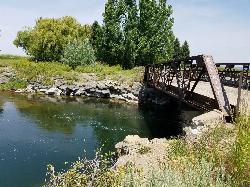
Twin Bridges
St. Anthony, Idaho
21.3 miles NEAn old abandoned bridge with two jump levels, a rope swing, and a little sandbar upstream — rarely crowded and great for families on warm days.
Dive, Swim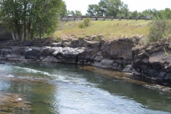
Fall River Bridge
Ashton, Idaho
21.9 miles NEA rope swing under a railroad bridge and a swimming hole just north — pull off Highway 20, check the mid-river rocks for water level, and enjoy a quick summer splash.
Dive, Swim
Freeman Park
Idaho Falls, Idaho
22.7 miles SA beautifully maintained disc golf course along the Snake River with creek crossings, good elevation, variety, and great scenery — free to play.
Disc Golf
Blacktail Lake / Ririe Reservoir
Idaho Falls, Idaho
23.3 miles SA sprawling 1,500-acre reservoir east of Idaho Falls with a swim area, boat ramp, and miles of paddling — Blacktail Park is eastern Idaho's go-to summer cool-off.
Canoe, Swim
Eagle Point Park
Ammon, Idaho
24.0 miles SA quick 3-basket, 3-tee disc golf layout lets you play a full 9-hole round at this free Ammon city park, with a playground nearby for kids between throws.
Disc Golf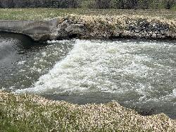
Street kid rapid
Idaho Falls, Idaho
24.1 miles SA short rock-garden rapid in an urban canal gives kayakers a quick thrill and a low-stakes spot to test a new boat — wear a PFD in spring high water.
Canoe, Kayak
McCowin Park Disc Golf Course
Ammon, Idaho
24.2 miles SA quick, beginner-friendly disc golf round in Ammon with short holes (longest 333 feet), a few trees and fences as obstacles, and no fee to play.
Disc Golf
Woodland Hills
Idaho Falls, Idaho
26.1 miles SA grassy disc golf course with slight elevation, young trees, and an irrigation canal that comes into play on holes 3 and 4 — fun layout with challenging shots.
Disc Golf 0.6 mi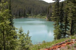
Packsaddle Lake
Tetonia, Idaho
28.5 miles EA secluded, steep-access Teton lake with a 300-foot descent from the trailhead, water that drops off quickly at the edge, and a small camp on the eastern shore.
Dive, Hike, Mountain Bike, Snowshoe, SwimNearby Campsites
Warm Slough Campground
Rexburg, Idaho
3.7 miles NEA popular river campground with two boat ramps and an easy, slow-moving inner tube float — the take-out is 1,000 feet from the put-in, making multiple runs a breeze.
Airsoft, Camp, Canoe 0.6-2.0 mi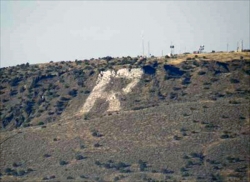
North Menan Butte ('R' Mountain)
Menan, Idaho
5.0 miles SWA volcanic butte locals call R Mountain, with a paved trailhead, chain handrails near the top, informational signs at the rim, and views of Rexburg and the Snake River.
Camp, Cave, Hike 0.2-0.5 mi
Eagle Park
Rexburg, Idaho
5.5 miles EA cottonwood forest park inside Rexburg city limits with campsites, fishing, a dog park, mountain biking on easy and moderate loops, and rock-throwing by the river.
Camp, Hike, Mountain Bike, Sled
Jefferson County Lake (AKA Rigby Lake)
Rigby, Idaho
8.7 miles SSandy beaches, two floating docks with a slide, volleyball, playgrounds, and a safe swim zone — Jefferson County Lake is eastern Idaho's go-to summer swimming spot.
Camp, Canoe, Dive, Kayak, Sled, Swim
Twin Bridges Park
Rexburg, Idaho
12.6 miles SEA 27-acre Snake River park between two bridges near Rexburg with shaded campsites, fire pits, pavilions, a playground, and BLM ground for hiking and hunting on three sides.
Camp, Canoe 0.5-3.5 mi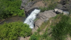
Webster's Dam
Ririe, Idaho
17.7 miles SEAn abandoned dam in Moody Creek canyon where sediment split the stream into two beautiful 15-foot waterfalls — stunning in spring runoff and blazing with fall colors.
Camp, Hike, Mountain Bike
Paramount Wall / Blanche Rock
Ririe, Idaho
18.0 miles SEA sport climbing wall above the road near Ririe with great exposure, afternoon shade, and well-loved 5.9–5.10 lines — most routes work with a 50-meter rope, established by Chuck Oddette and crew.
Camp, Horseback, Rock Climb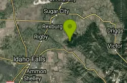
Big Hole Dispersed Campsites
Ririe, Idaho
18.3 miles SEA network of dispersed campsites with fire rings in the Big Hole mountains above Kelly Canyon — first come, first served, no reservations, and Leave No Trace principles are essential.
Camp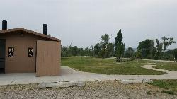
Kelly Island Campground
Ririe, Idaho
18.5 miles SEA BLM campground with 14 family sites and 1 group site for RVs or tents, open May through September — vault toilets, pets welcome, and rates from $5–$20 per night.
Camp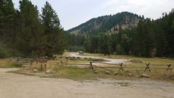
Table Rock Campground
Ririe, Idaho
20.8 miles SEA campground in Caribou-Targhee National Forest — part of a 3-million-acre stretch from Montana to the Utah and Wyoming borders — with access to the Curlew National Grassland.
Camp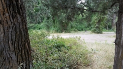
Wolf Flats Recreation Area
Ririe, Idaho
21.5 miles SEWolf Flats Recreation Area is a free, undeveloped camping area strung along the South Fork of the Snake River in the canyon country east of Idaho Falls, and it's a longtime favorite of eastern Idaho...
Camp
Moody Meadows
Driggs, Idaho
24.2 miles SEGood place for kids, they can ride bikes in the meadow, play in the stream, and camping is off of the road. Hiking, motorbiking, and horseback riding trails are abundant in the area.
Camp
Sealander Park
Idaho Falls, Idaho
29.7 miles SWA peaceful 15-acre park steeped in Idaho homesteader history — listed on the National Register of Historic Places, Sealander Park is available to reserve for picnics, reunions, weddings, and retreats.
Camp
Pine Butte / The Caldera
St. Anthony, Idaho
30.6 miles NAn old volcano in the Idaho desert that feels like stepping into a mountain forest — pine-covered hillsides, a meadow ringed by aspen and boulders, and a quarter-mile easy trail to the caldera floor.
Camp, Hike, Horseback
Warm River Campground
Ashton, Idaho
36.0 miles NESlow-moving warm water and willow-lined banks make this campground a perfect spot for tubing, trout fishing, and peaceful mountain biking at 5,200 ft elevation.
Camp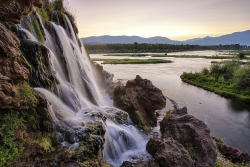
Fall Creek Falls
Swan Valley, Idaho
37.5 miles SEA shaded Snake River campground near Swan Valley with abundant wildlife, great trout fishing, and Fall Creek Falls a quarter-mile away.
Camp, Cave, Hike, Kayak, Swim 0.3-0.6 mi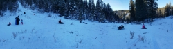
Bear Gulch
Ashton, Idaho
38.1 miles NEAn abandoned ski hill from 1969 with overgrown runs that still deliver great sledding — the lower run is fast and winding all the way down to the old ski lift.
Camp, Cross-country Ski, Hike, Sled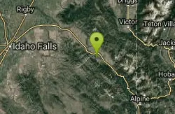
Falls Campground
Victor, Idaho
38.5 miles SEA Snake River campground near Swan Valley with cottonwood shade, abundant wildlife — eagles, osprey, moose, and deer — and Fall Creek Falls just a quarter mile away; Palisades Reservoir is 20 miles out.
Camp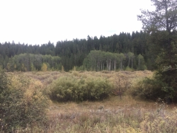
Porcupine Creek
Ashton, Idaho
38.6 miles NEA backcountry hunting, fishing, camping, and swimming spot in Targhee National Forest, surrounded by forests, meadows, a creek, and unmarked trails — bear country, so pack and store food carefully.
Camp, Swim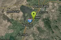
Firth River Bottoms
Firth, Idaho
38.6 miles SA community riverside park in Firth with horseback riding, picnicking, fishing, and baseball — something for the whole family along the river bottoms.
Camp, Canoe, Hike


