


Coho Day Use Area
Montesano
Camp, Canoe, Hike, Kayak, and Swim
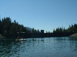
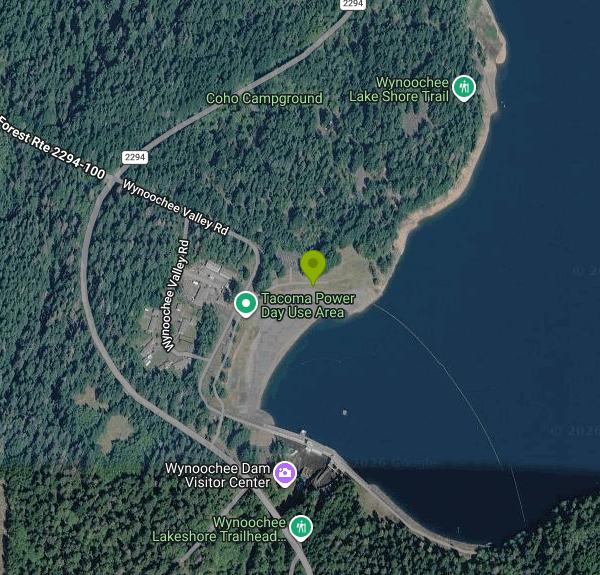
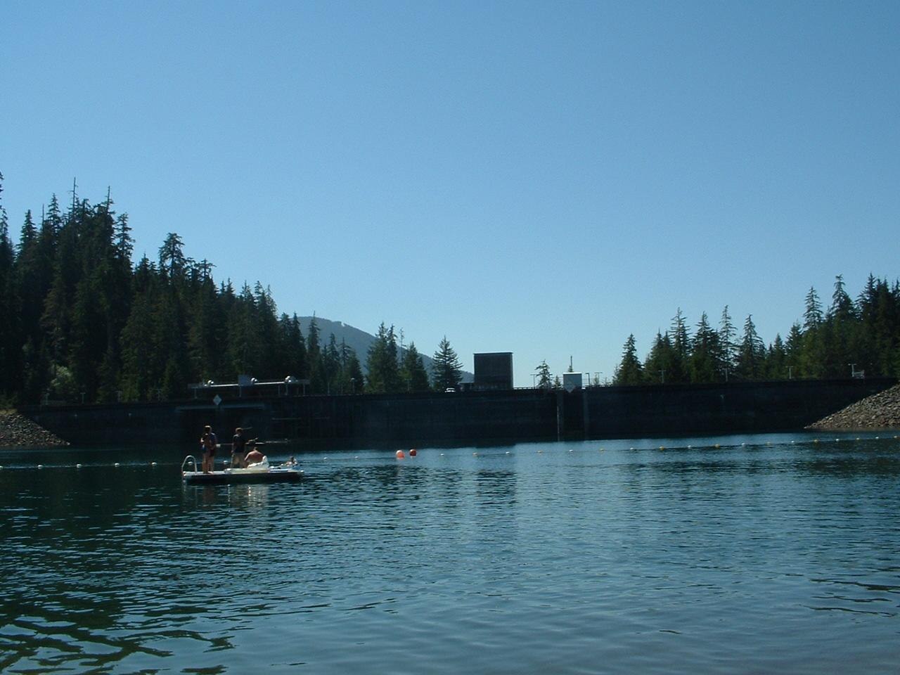
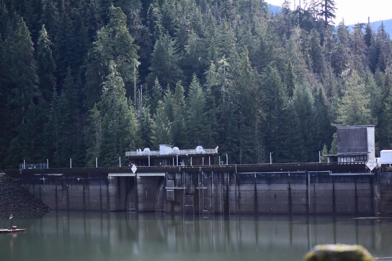
Coho Day Use Area is the public picnic and swimming shore at Coho Campground on the west side of Wynoochee Lake, a reservoir in the Olympic National Forest about 35 road miles north of Montesano. The Forest Service lists it as the Coho Day Use/Picnic Area, and the campground around it is run by a concessionaire for the Hood Canal Ranger District. The lake was created in 1972 when the Army Corps of Engineers finished Wynoochee Dam, which the City of Aberdeen owns and Tacoma Power runs for hydropower. The swim shore sits in the lake's southwest corner, a short walk north of the dam, with forested ridges rising on every side.
From US 12, turn north on Wynoochee Valley Road about a mile west of Montesano. It becomes Forest Road 22, now paved most of the way. After roughly 35 miles, stay left on FR 22 at the big junction, then turn right on Forest Road 2294 and drive about a mile to the campground. Park in the day use lot inside the campground; a dirt path drops from there to the shoreline near the picnic tables by the dam. A second route comes in from Highway 101 near Shelton by way of Matlock, but parts of it are still gravel. Nothing is for sale at the lake (no gas, no store), so fill the tank in Montesano.
This is a cold mountain reservoir fed by the upper Wynoochee River and the creeks coming off the southern Olympics, so expect it to feel cool even in August. None of the managing agencies lists a lifeguard or a developed sand beach. Swimmers wade in from the natural shoreline and choose their own depth. Recreation.gov and Tacoma Power both point swimmers to this stretch of shore near the dam, and the Forest Service lists swimming at Coho. Floating log booms cross the water in front of the dam; stay well up the lake side of them and away from the spillway. The boat launch is a few hundred feet north, so watch for paddlers and boats coming and going.
Day use is free. The Forest Service charges $5 a day only to launch a boat, and its Wynoochee Lake Shore Trailhead page inside the campground says no fees are required to park. Overnight sites cost extra and are booked through Recreation.gov. The campground runs from about mid-May to the start of October, and the Forest Service closes seasonal gates on Forest Road 2294 in the fall, so plan a visit for late spring through September. Check Tacoma Power's lake page for the launch status before bringing a trailer. The Coho ramp has been closed to trailered boats at times, while kayaks, canoes and other car-top boats can still hand launch.
Coho also has flush toilets and drinking water during the season, a group picnic area with stoves, and the half-mile Working Forest Interpretive Trail, which starts in Loop B. The 16-mile Wynoochee Lake Shore Trail, a National Recreation Trail open to hikers and mountain bikes, circles the lake from here. At the dam there's a vista overlook with exhibits and a view down into the river gorge, and Tacoma Power gives free tours of its powerhouse by appointment. Spoon Creek Falls and Wynoochee Falls are short drives up the valley.
More Information
Be courteous, informed, and prepared. Read trailhead guidelines, stay on the trail, and don't feed the wildlife.
Read More
- Plan Ahead and Prepare
- Travel & camp on durable surfaces
- Dispose of waste properly
- Leave what you find
- Minimize campfire impacts
- Respect wildlife
- Be considerate of other visitors
Directions
From Montesano
- Head west on Old 410 Hwy/
Pioneer Ave W toward 1st St S Continue to follow Old 410 Hwy(1.1 mi) - Turn right onto 95190/
Wynoochee Valley Rd Continue to follow Wynoochee Valley Rd(33.2 mi) - Turn left onto Donkey Crk Rd/
NF-22/ Wynoochee Valley Rd (0.3 mi) - Turn right onto Forest Service Rd/
Wynoochee Valley Rd (1.2 mi) - Turn right onto Wynoochee Valley RdDestination will be on the right(0.2 mi)



Other Swimming Holes, Hiking Trails, Canoeing Areas, and Kayaking Areas Nearby
Lake Sylvia State Park
Montesano
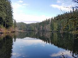
27.0 miles SA millpond on Sylvia Creek above Montesano, dammed since 1918, with a day use swim beach a short walk from the parking lot. The lake was lowered about five feet in 2025 for dam safety work, which turned the old roped swim zone into open sand.
Camp, Canoe, Hike, Kayak, Swim
Hurricane Ridge
Port Angeles, Washington
40.5 miles NA mile high in Olympic National Park, Hurricane Ridge offers stunning 360-degree views of the Olympic Range, Puget Sound, and Vancouver Island, plus hiking, skiing, snowboarding, snowshoeing, and wildlife like deer, marmots, mountain goats
Cross-country Ski, Hike, Sled, Snowshoe
Olympic Hot Springs
Port Angeles, Washington
40.8 miles NSix or more natural rock-lined hot spring pools hide just 2.5 miles into Olympic National Park, with mostly clothing-optional bathing in a serene old-growth setting.
Hot Springs, Swim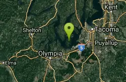
Lowell Johnson Park
Anderson Island, Washington
45.6 miles ESwim near Anderson Island, Washington
Swim
Island Lake Park
Poulsbo
48.6 miles NEFree sand swimming beach at Kitsap County's Island Lake Park between Poulsbo and Silverdale, with a paved lakeshore trail, fishing pier and kayak launch. Check health advisories first.
Canoe, Hike, Kayak, Swim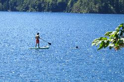
East Beach
Port Angeles
48.6 miles NA sheltered picnic beach at the east end of Lake Crescent in Olympic National Park, with a gradual sand and gravel entry into very cold, clear water about 15 miles west of Port Angeles.
Hike, Kayak, Swim


