


Dimple Alt Face
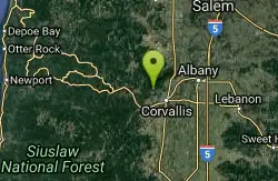
Corvallis, Oregon

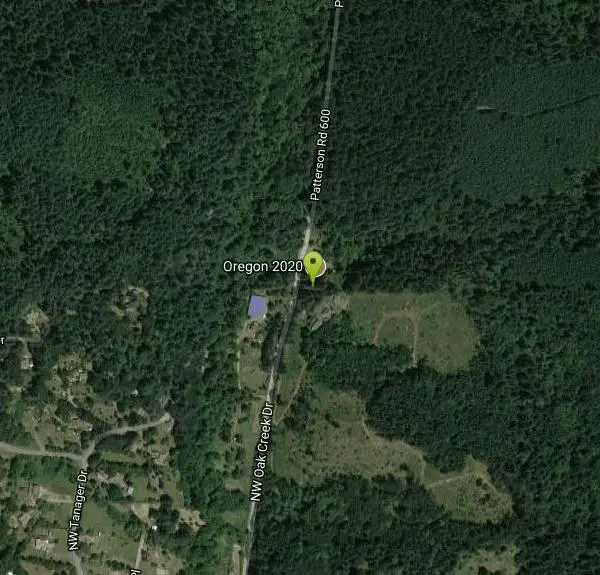
| Address: | ~8600 NW Oak Creek Dr, Corvallis, OR 97330, USA |
| GPS: |
44°36'11.3"N 123°19'56.6"W Maps | Directions |
| State: | Oregon |
| Trail Length: | 5.00 miles |
| Trail Type: | Loop |
| MTB Trail Type: | Singletrack |
Mountain Bike
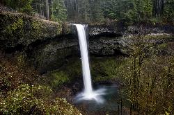
Off the face from the top of Dimple Courtesy of Singletracks.com
More Information
Add ResourceNever modify trail features. Ride trails when they're dry enough that you won't leave ruts. Speak up when you see others on the trail and always yield to hikers, horses, and others coming uphill. Always ride on the established trail.
Read More- Plan Ahead and Prepare
- Travel & camp on durable surfaces
- Dispose of waste properly
- Leave what you find
- Minimize campfire impacts
- Respect wildlife
- Be considerate of other visitors
Directions
From Corvallis, Oregon
- Head south on SW 4th St/Pacific Hwy W toward SW Madison Ave (0.5 mi)
- Keep right to continue on US-20 W (2.1 mi)
- Turn right onto SW Timian St (0.2 mi)
- Turn left onto W Hills Rd/SW West Hills Rd (0.3 mi)
- At the traffic circle, take the 1st exit (138 ft)
- Continue onto SW 53rd St (1.0 mi)
- Turn left onto NW Oak Creek Dr (1.9 mi)
- Turn right to stay on NW Oak Creek DrDestination will be on the right(1.1 mi)
Other Mountain Bike Trails Nearby
Mcdonald / Dunn Forests
Corvallis, Oregon
0.0 miles WMcDonald Forest Maps are sometimes available at these locations. Rides can vary from easy to pretty technical. There are other starting points that require more knowledge of the area...
Mountain Bike
Extendo Trail
Corvallis, Oregon
0.0 miles SWExtendo Trail is a fast paced mountain biking trail in Corvallis. It descends downhill through the root-laden terrain and opens up into a small valley once you reach the end of the descent....
Mountain Bike
Dan's Trail
Corvallis, Oregon
0.1 miles NMcDonald Dunn Forest offers and incredible variety of terrain, ranging from short and steep, to long and rolling. Dans' Trail, is one of the newer trails to be added to the area. It is...
Mountain Bike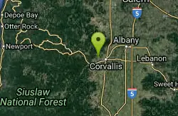
Bald Hill Park And Fitton Green
Corvallis, Oregon
1.9 miles STrails are closed to bikes and horses mid oct. to mid april. there are paved, and some easy flat gravel trails on the lower section of park. there are a couple horse trails that were a...
Mountain Bike
High Horse
Corvallis, Oregon
2.9 miles NEepic
Mountain Bike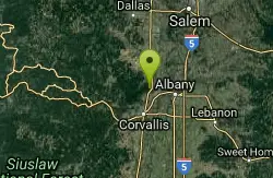
Rd 500 to Powder House Summit
Corvallis, Oregon
6.1 miles NEFollow Rd 500 signs up the gravel road to the flat "top" near Powder House trail. This is the junction of Rd's 500 (Nettleton Rd), 560, 580 (Davies Rd) and 582. Continue to the left,...
Mountain Bike
Panama Canal
Blodgett, Oregon
10.1 miles WLogging road up, single track down. Small portion of Oregon Mudslinger race.
Mountain Bike
East Ridge up - North Ridge down
Philomath, Oregon
11.6 miles SWDifficult climb up, advanced technical trail down
Mountain Bike
Mary's Peak Trail
Philomath, Oregon
12.0 miles SWMary's Peak is the tallest in the Oregon Coast Range. This trail goes through an old-growth forest in Corvallis. There are a fair amount of technical root sections to maneuver, and a lot of...
Mountain Bike
Blackrock Freeride Trails
Falls City, Oregon
20.3 miles NWBlackrock is a mountain bike only trail system (with wooden/dirt stunts, but all with bypasses so this is XC, DH, as well as FR friendly!). There's dozens of ways to enjoy 'em...
Mountain Bike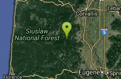
Alsea Falls Recreation Site
Alsea, Oregon
21.0 miles SThese trails are brand new. Three mile peddle up a paved road and then five miles of flow single track.Each trail has its own character:Highballer - rooty, hand - builtLower Highballer...
Mountain Bike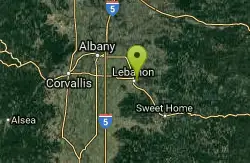
Lebanon Dikes
Lebanon, Oregon
22.3 miles EThe "Dikes" trails on the east side of Lebanon, Oregon roll along the western bank of the South Santiam River. The trails have existed for many generations, and offer approximately 2.5...
Mountain Bike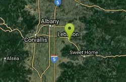
Cheadle Lake Trails
Lebanon, Oregon
22.5 miles ECheadle Lake has undergone some recent improvements, and the trails that were until recently clogged with blackberries and assorted brush are now clear and rideable. It's a lot of fun...
Mountain Bike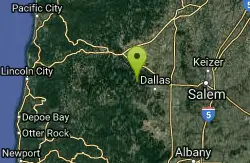
Burma Peak System
Dallas, Oregon
24.2 miles NRide up until there is a fork and no obvious way to go. Directly ahead an a little to the right is a trial labeled Gonzo take that down then climb back up the road you just rode next...
Mountain Bike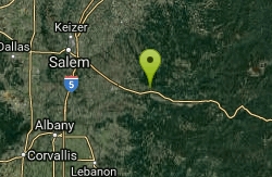
Shelburg Falls
Stayton, Oregon
37.3 miles EHead up the gravel road for several miles, past the lower falls, and then past the upper parking. There are multiple ways to configure loops. For the most trail, continue climbing to...
Mountain Bike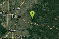
Catamount Trail
Sublimity, Oregon
37.5 miles NEStraight forward uphill road on lookout mountain/ house road. Actual trail is newer single track. Roots and some technical in spots. MTB specific but hikers allowed, no equestrian....
Mountain Bike
Rabbit Hole
Gates, Oregon
45.9 miles ERelatively new multi use trail, which doesn't see a lot of use. Can get a little choppy from horses.
Mountain Bike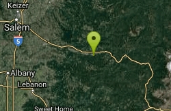
Monument Peak Trails
Gates, Oregon
45.9 miles EJust a few miles south of Gates, is the Monument Peak Trail System. Hikers, mountain bikers, and horse back riders will enjoy approximately 19 miles of single track trail in the...
Mountain Bike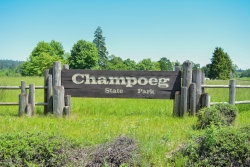
Champoeg State Park
Saint Paul, Oregon
49.5 miles NEChampoeg State Park (commonly pronounced SHAM-poo-EE) is a historic pioneer site as well as a beautiful outdoor recreational area. The Native Americans originally pronounced it CHAM-po-EGG, but it...
Camp, Disc Golf, Hike, Mountain BikeNearby Campsites
Silver Falls State Park
Sublimity, Oregon
38.2 miles NESilver Falls State Park is a forested canyon that features 10 amazing waterfalls throughout the park. It is the largest state park in Oregon and one of the most popular, both nationally and...
Camp, Hike, Horseback, Swim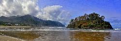
Neskowin Beach State Recreation Site
Neskowin, Oregon
46.9 miles NWNeskowin Beach is a beautiful place for families and friends to come and enjoy time together. The recreation site offers camping, and picnic sites for you to enjoy. The beach features the "Ghost...
Camp, Swim
Champoeg State Park
Saint Paul, Oregon
49.5 miles NEChampoeg State Park (commonly pronounced SHAM-poo-EE) is a historic pioneer site as well as a beautiful outdoor recreational area. The Native Americans originally pronounced it CHAM-po-EGG, but it...
Camp, Disc Golf, Hike, Mountain Bike


