


Emma Carlin Trail
Whitewater, Wisconsin
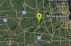
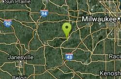
| Address: | ~Co Rd Z, Palmyra, WI 53156, USA |
| GPS: |
42°52'13.8"N 88°32'39.0"W Maps | Directions |
| State: | Wisconsin |
Cross Country Ski, Hike, Mountain Bike, and Snowshoe
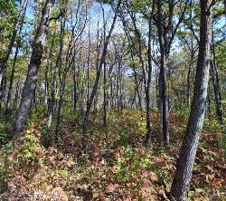
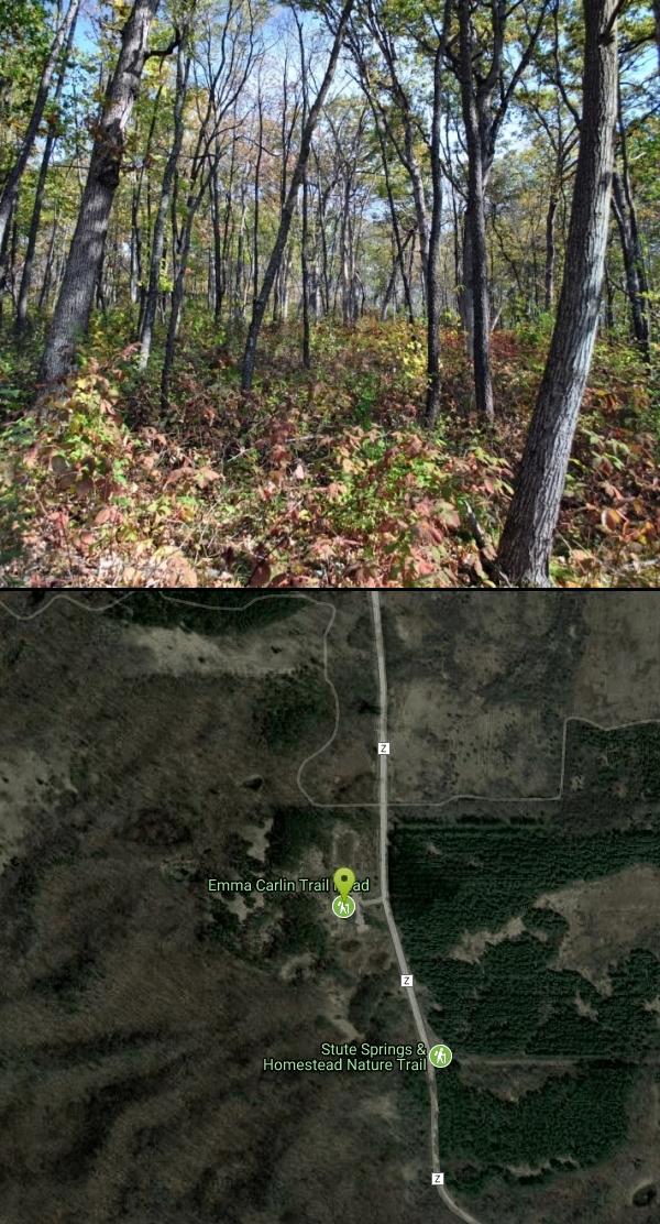
This trail system, on County Highway Z just south of State Highway 59, goes through a hardwood forest with mostly hilly terrain. Three color coded trails ranging from 3.5 to 8 miles. Parking, water and vault toilets are available. The trails in this system are single-track mountain bike trails that are generally more difficult than the John Muir Trails.
- Brown Loop, moderate, 3.5 miles: Skirt in and out of pines and hardwoods, pass a kettle lowland, then after joining up with the orange loop, proceed uphill along a moraine and back downhill to the trail head.
- Orange Loop, moderate/hard, 6 miles: Traverse the contours of the glacial geography, generally uphill to the scenic overlook where the Connector trail meets the Carlin trails. Then get ready for lots of ups and downs until meeting back with the brown loop.
- Green Loop, hard, 8 miles: This trail is continuous with the orange, until it splits off on the southern half of the loop. Here you are in for several difficult ups and downs.
More Information
Recreation | Kettle Moraine State Forest – Southern Unit | Wisconsin DNR
Kettle Moraine State Forest – Southern Unit
https://dnr.wisconsin.gov/topic/parks/kms/recreationTravel - Milwaukee Journal Sentinel
Travel, recreation and vacation news and features from the Milwaukee Journal Sentinel.
https://www.jsonline.com/travel/Never modify trail features. Ride trails when they're dry enough that you won't leave ruts. Speak up when you see others on the trail and always yield to hikers, horses, and others coming uphill. Always ride on the established trail.
Read MoreBe courteous, informed, and prepared. Read trailhead guidelines, stay on the trail, and don't feed the wildlife.
Read More- Plan Ahead and Prepare
- Travel & camp on durable surfaces
- Dispose of waste properly
- Leave what you find
- Minimize campfire impacts
- Respect wildlife
- Be considerate of other visitors
Directions
From Whitewater, Wisconsin
- Head east on W Center St toward S 1st St (410 ft)
- Turn left onto W Whitewater St (262 ft)
- Turn right onto W Main St/Old Hwy 12 (476 ft)
- Turn left onto N Jefferson St (430 ft)
- Turn right at the 1st cross street onto E North St (0.5 mi)
- Turn left onto WI-59 E/N Newcomb StContinue to follow WI-59 E(8.9 mi)
- Turn left onto WI-59 E/Kettle Moraine Scenic Dr/W Main StContinue to follow WI-59 E/Kettle Moraine Scenic Dr(2.4 mi)
- Turn right onto Co Rd Z (0.6 mi)
- Turn right (144 ft)

Other Mountain Bike Trails, Hiking Trails, Cross Country Ski Trails, and Snowshoe Trails Nearby
Kettle Morain South Trail Head
Dousman, Wisconsin
6.0 miles NEOver 30 miles of connected mostly single-track trails through the Southern Unit of Kettle Moraine State Forest — the John Muir and Emma Carlin systems linked by a connector trail.
Camp, Cross-country Ski, Hike, Swim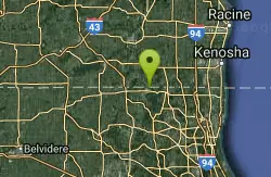
Gander
Antioch, Illinois
31.6 miles SEA challenging hike to the top of Lake County's highest natural elevation — 957 feet above sea level at Gander Mountain — rewarded with scenic views of the Fox River valley below.
HikeNearby Campsites
Ottawa Lake Campground
Eagle, Wisconsin
2.3 miles EA beautiful northwoods campground surrounded by National Forest on Lake Ottawa, with hiking trails, a Ge-Che Trail, nearby lakes and rivers, and a historic CCC-built picnic shelter.
Camp
Kettle Morain South Trail Head
Dousman, Wisconsin
6.0 miles NEOver 30 miles of connected mostly single-track trails through the Southern Unit of Kettle Moraine State Forest — the John Muir and Emma Carlin systems linked by a connector trail.
Camp, Cross-country Ski, Hike, Swim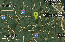
Pinewoods Campground
Dousman, Wisconsin
6.3 miles NEA 101-site campground with flush toilets, pit toilets, showers, and a playground — no electrical hookups, but a quiet, nature-focused setting near Dousman.
Camp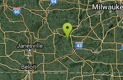
Whitewater Lake Campground
Elkhorn, Wisconsin
7.7 miles SA primitive campground with 63 beautiful sites and pit toilets — showers are available at Pinewoods and Ottawa Lake about 20 miles north, with a sanitary dump and recycling station on site.
Camp


