


4 Hiking Trails near Southern Oregon University
first prev 1 next lastShowing Hiking Trails within 50 miles Distance miles of Southern Oregon University near Ashland, Oregon City, Zip, or Address
Add Location
Pilot Rock
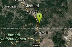
Ashland, Oregon
9.4 miles SEPilot Rock near Ashland reveals the ancient core of an eroded volcano — its calcite-flecked lava visible from the Shasta Valley and Oregon's Rogue Valley.
Hike
Upper Table Rock
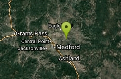
Eagle Point, Oregon
14.5 miles NUpper Table Rock and Lower Table Rock are two prominent volcanic plateaus located just north of the Rogue River in Jackson County, Oregon.
Hike
Lower Table Rock
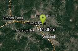
Medford, Oregon
14.7 miles NWA moderate 2.7-mile hike gaining 800 feet to the top of Lower Table Rock — historic treaty land now managed by BLM and the Nature Conservancy, with guided tours available.
Hike
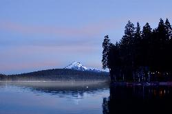
Aspen Point at Lake of the Woods
Klamath Falls, Oregon
28.0 miles NEA Forest Service day use area and beach on the northeast shore of Lake of the Woods, high in the southern Oregon Cascades between Medford and Klamath Falls.
Camp, Canoe, Hike, Kayak, Swim


