


Aspen Point at Lake of the Woods
Klamath Falls, Oregon
| GPS: |
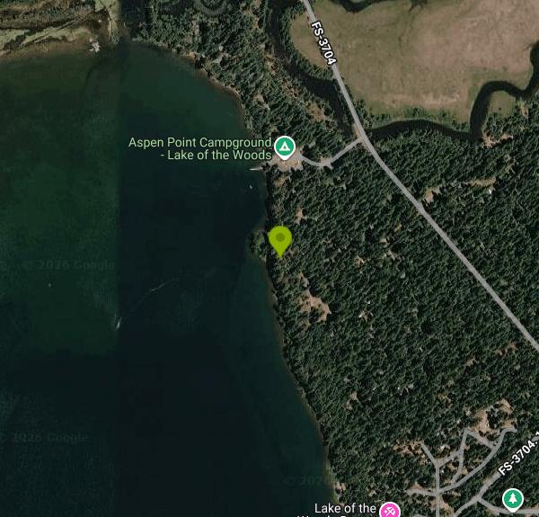
42°23'0.2"N 122°12'53.3"W Maps | Directions |
| State: | Oregon |
Camp, Canoe, Hike, Kayak, and Swim
Aspen Point is on the northeast shore of Lake of the Woods, in the Fremont-Winema National Forest on the crest of the southern Oregon Cascades. It is about 32 miles and forty minutes west of Klamath Falls on OR 140, then a short run in on Forest Road 3704, and roughly 41 miles east of Medford from the other direction. The day use area has 20 picnic sites, three vault toilets, potable water and a swim beach, for $10 per vehicle per day. No passes are honored here. The day use season runs May 22 through September 15 and there is no overnight parking. The Forest Service contact number is 541-949-8300.
The lake is about 1,100 acres at 4,950 feet, sitting in a basin of ponderosa and lodgepole pine with Mount McLoughlin standing over it to the northwest. The water is clear and cold in June and pleasant by late July, warmer than most Cascade lakes at this elevation because it is relatively shallow. Motors are allowed, so the main body gets boat traffic on summer afternoons, but the swim area at Aspen Point is buoyed off and the north end stays calm in the morning.
The campground is the larger half of the site: 58 sites with a camp host, including 50 that take RVs, eight doubles, seven tent only sites and one group site. Sites are $32 a night, doubles $64, the group site $140, and an extra vehicle is $10. Five restroom buildings with flush toilets are maintained May 1 through October 1, and there is no potable water inside the campground itself. Every picnic table and fire grate sits on a durable aggregate pad, which keeps the sites from turning to dust. Reservations go through recreation.gov.
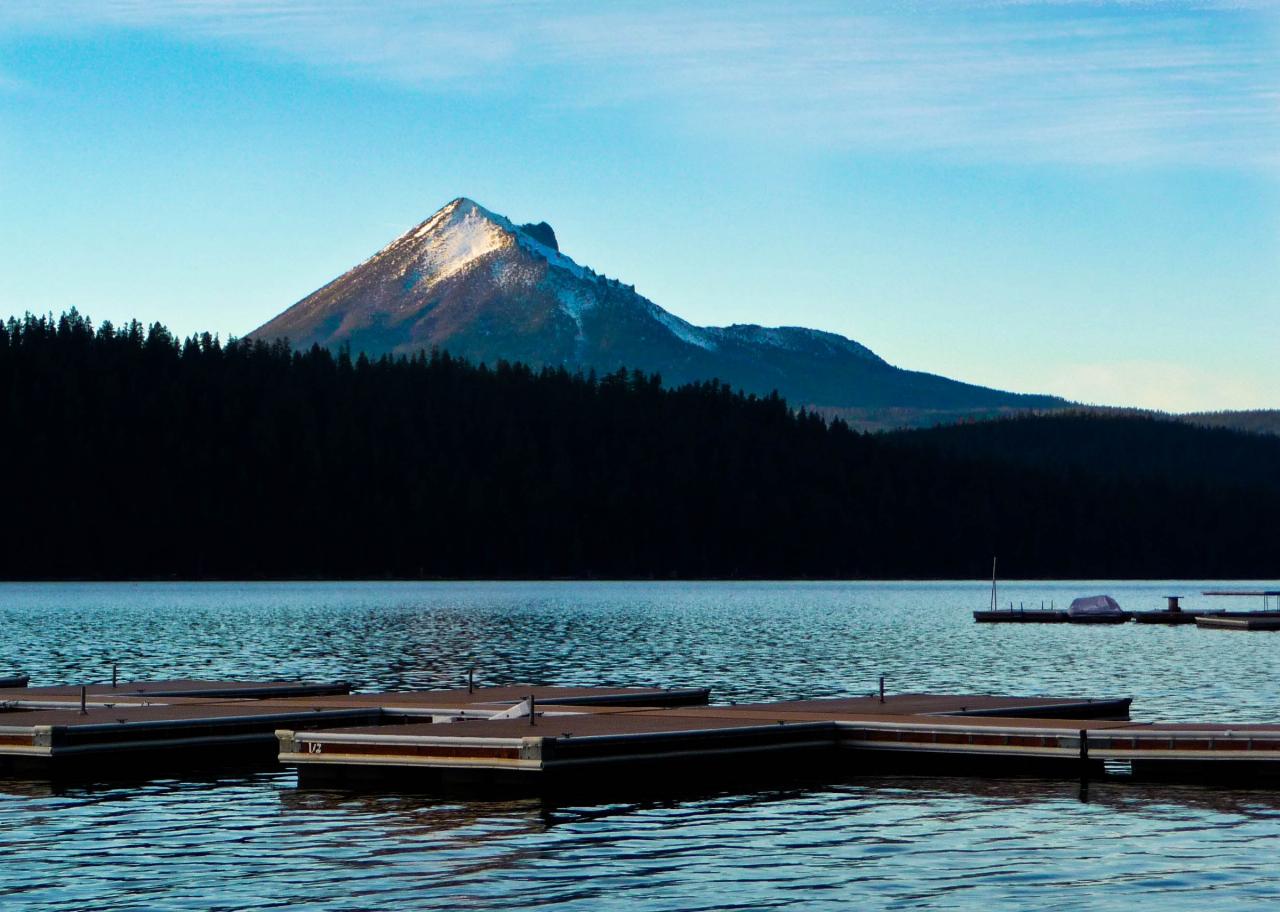
The boat launch, docks and trailer parking sit between the day use area and the campground, so you can walk to them from either. The High Lakes Trail starts at the day use area and runs northwest over the lava flows toward Fish Lake, a good ride on a mountain bike and a long day on foot. Rye Spur Trail climbs east of the lake for the view back over the water to Mount McLoughlin. Lake of the Woods Resort is adjacent, with a store, a restaurant and boat rentals, which is convenient when you have forgotten something 32 miles from town.
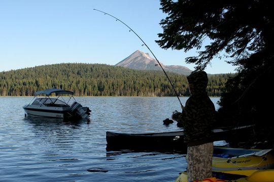
Fishing is rainbow trout, kokanee, brown trout and yellow perch, with the best action early and late in the day. Mosquitoes are serious in June and taper off by mid-July. Snow closes the campground for roughly half the year, and OR 140 over the pass is a winter recreation corridor; the same lake in February is a snowmobile and cross country ski destination rather than a swimming one.
More Information
Be courteous, informed, and prepared. Read trailhead guidelines, stay on the trail, and don't feed the wildlife.
Read More
- Plan Ahead and Prepare
- Travel & camp on durable surfaces
- Dispose of waste properly
- Leave what you find
- Minimize campfire impacts
- Respect wildlife
- Be considerate of other visitors
Directions
From Klamath Falls, Oregon
- Head northeast toward S 7th St (138 ft)
- Turn left onto S 7th St (154 ft)
- Turn left onto Main St (0.4 mi)
- Keep right to stay on Main St (0.2 mi)
- Turn left to merge onto US-97 S toward Medford/
Ashland/ Weed/ OR-140 W/ OR-66 (1.8 mi) - Take the OR-66/
OR-140 ramp to Lakeview/ Medford/ Airport (0.3 mi) - Turn right onto OR-140 W/
OR-66 W (0.2 mi) - Turn right onto OR-140 W (32.4 mi)
- Turn left onto FS-3704 (0.7 mi)
- Turn right (253 ft)
- Turn left (361 ft)
- Turn rightDestination will be on the right(0.1 mi)
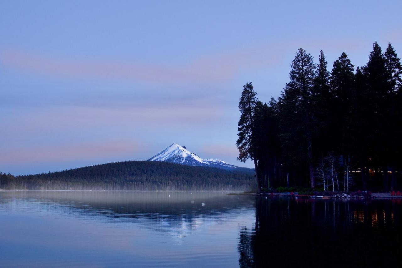
 Sunrise over Lake of the Woods with Mount McLoughlin behind it courtesy of Bonnie Moreland from Oregon, United States↗ (Public domain↗)
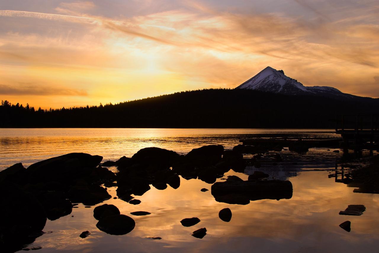
 Sunset over the rocky shoreline at Lake of the Woods courtesy of Bonnie Moreland from Oregon, United States↗ (Public domain↗)
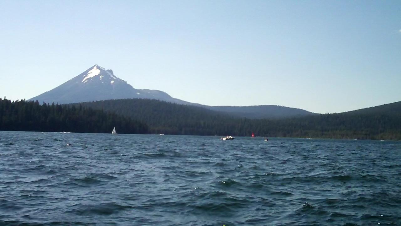
 Sailboats on Lake of the Woods below Mount McLoughlin courtesy of james shaw↗ (CC BY-SA 3.0↗)
 A boat dock on Lake of the Woods courtesy of ex_magician https://www↗ (CC BY 2.0↗)
 Fishing from the shore at Lake of the Woods courtesy of United States Forest Service↗ (Public domain↗)
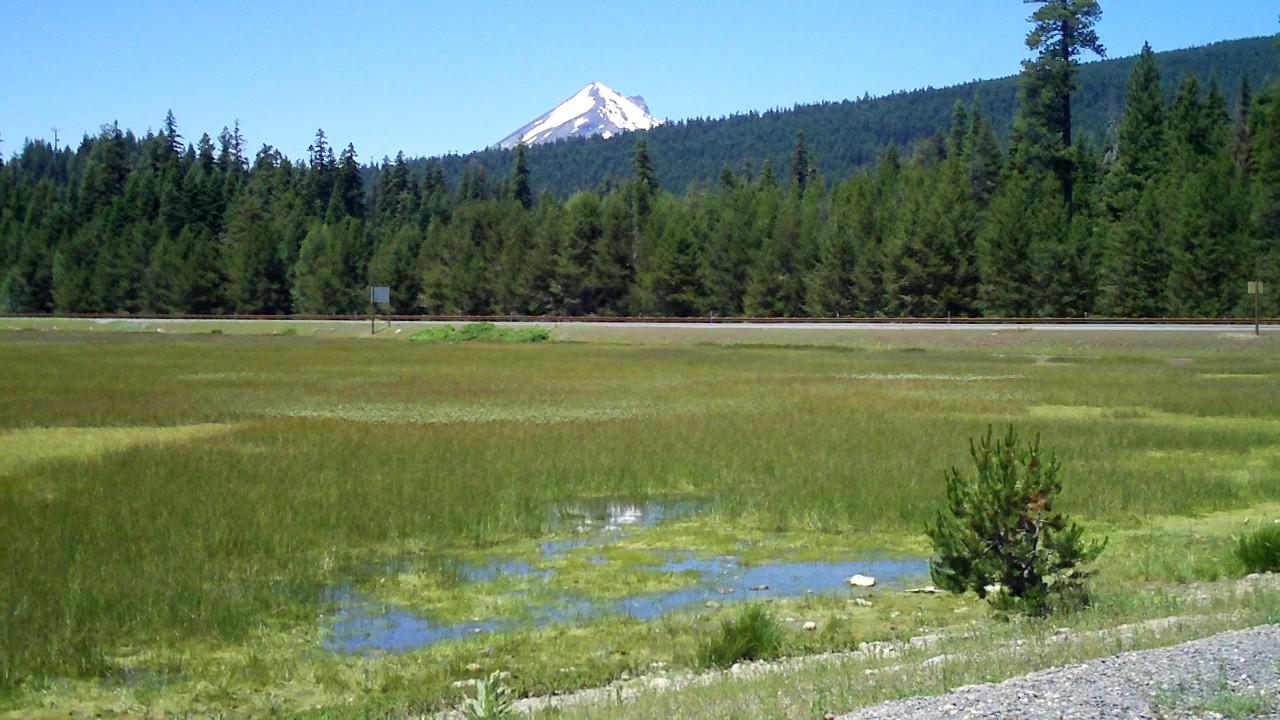
 Meadow at the edge of Lake of the Woods with Mount McLoughlin beyond courtesy of james shaw↗ (CC BY-SA 3.0↗)
Other Swimming Holes, Hiking Trails, Canoeing Areas, and Kayaking Areas Nearby
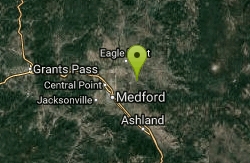
Upper Table Rock
Eagle Point, Oregon
26.9 miles WUpper Table Rock and Lower Table Rock are two prominent volcanic plateaus located just north of the Rogue River in Jackson County, Oregon.
Hike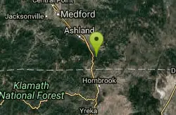
Pilot Rock
Ashland, Oregon
28.1 miles SWPilot Rock near Ashland reveals the ancient core of an eroded volcano — its calcite-flecked lava visible from the Shasta Valley and Oregon's Rogue Valley.
Hike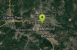
Lower Table Rock
Medford, Oregon
30.2 miles WA moderate 2.7-mile hike gaining 800 feet to the top of Lower Table Rock — historic treaty land now managed by BLM and the Nature Conservancy, with guided tours available.
Hike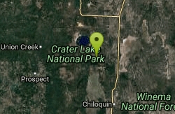
Pinnacles Valley Trail
Chiloquin, Oregon
33.9 miles NThe Pinnacles Trail follows a canyon rim past hundreds of eerie volcanic spires in Crater Lake National Park's quiet southeast corner.
Hike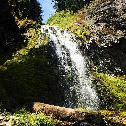
Plaikni Falls
Chiloquin, Oregon
36.7 miles NAn easy, wheelchair-accessible 2-mile round-trip trail in Crater Lake National Park to a beautiful 20-foot waterfall surrounded by firs, hemlocks, and summer wildflowers.
Hike 2.4 mi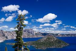
Wizard Island Summit Trail
Crater Lake National Park
38.2 miles NReach one of the world's finest volcanic cinder cones by boat across Crater Lake, then hike 2.5 miles up lava rock to the Witches Cauldron crater at the summit.
Hike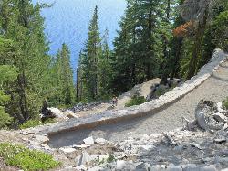
Cleetwood Cove Trail
Crater Lake National Park, Oregon
41.7 miles NThe only legal shoreline access in Crater Lake National Park — a steep strenuous switchback hike to the water's edge, with cliff jumping options from about 20 feet into 38-50°F water.
Dive, Hike, Swim


