


5 Hiking Trails near Guilford, CT
first prev 1 next lastShowing Hiking Trails within 50 miles Distance miles of Guilford, CT, USA City, Zip, or Address

Hop Brook Lake
Middlebury
25.8 miles NWA free Army Corps of Engineers lake behind Hop Brook Dam in Middlebury, with a small swimming beach, seven miles of trails and a paddling pool closed to motorboats. The beach runs a short summer season and has been shut by bacteria and cyanobacteria in pa
Canoe, Hike, Kayak, Swim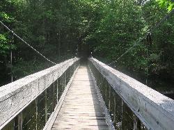
Steep Rock
Washington, Connecticut
40.4 miles NWA fun mix of 4x4 singletrack, forest trail, and powerline downhills winding from Judd's Bridge to Steep Rock's pinnacle, with great views and a rough but exciting descent.
Hike, Mountain Bike
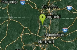
Metacomet Trail
East Granby, Connecticut
45.6 miles NA 62.7-mile Blue-Blazed trail along Connecticut's Metacomet Ridge — part of the New England National Scenic Trail — open to hikers, backpackers, bikers, horseback riders, and in winter, snowshoers.
Hike, Mountain Bike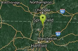
Windsor Locks Canal Trail
Suffield, Connecticut
48.3 miles NA 4.5-mile towpath trail along a 170-year-old historic canal with scenic vistas of both the Connecticut River and the old waterway itself.
Hike, Mountain Bike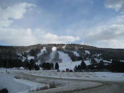
Mohawk Mountain State Park
Cornwall, Connecticut
49.7 miles NWA 15-mile backcountry route of logging roads and singletrack climbing to the top of Mohawk Mountain, with trail junctions, river sections, and cross-country ski terrain.
Cross-country Ski, Hike, Mountain Bike


