


Hop Brook Lake
Middlebury

Canoe, Hike, Kayak, and Swim
Swimming at Hop Brook Lake happens only inside a short posted season and only when the Corps of Engineers says the beach is open, and that is not a formality here. The swimming area closed in May 2024, reopened, then closed again on July 1, 2024 after heavy rain pushed bacteria counts past the limit. Follow-up testing found extremely high cyanobacteria and the beach stayed shut for the rest of the 2024 season. It had also been closed in July 2023. Read the signs at the gate before you plan a swim, because no third party listing anywhere reflects this week's water testing.
The lake is the recreation pool behind Hop Brook Dam, a U.S. Army Corps of Engineers flood control project on Hop Brook in the Naugatuck River basin. The dam went up between December 1965 and December 1968 at a cost of about $6.2 million, an earthfill structure 520 feet long and 97 feet high, one piece of the system Congress authorized after the August 1955 flood tore through the Naugatuck valley. The impoundment covers roughly 21 acres and runs about 18 feet at its deepest. The Corps holds 536 acres of public land around it, spread across Middlebury, Naugatuck and Waterbury.
Entry is free. The Corps states that entrance into the park and activities in the park carry no charge, and Recreation.gov notes that user fees are no longer collected at the gate. The only money that changes hands is for reservations, all of them handled by the Corps through Recreation.gov or at 877-444-6777: the two large picnic shelters at $135 per day, the two small ones at $100 per day, and the 2.99 acre ball field at $75 per day. Nobody charges for parking, and nobody charges for the beach.
The hours trip people up. The recreation area opens the weekend before Memorial Day weekend and closes the weekend after Labor Day, running 8:00 a.m. to 6:00 p.m., and the gate is open to vehicles on Fridays, Saturdays, Sundays and holidays only. Monday through Thursday cars cannot get in. A more recent Corps notice described the grounds as open daily, so call the park office at 203-729-8840 if your trip falls midweek.
Past the beach there are more than seven miles of trails through the Corps property, well used by hikers and by mountain bikers. The trail network is established enough to host cross country mountain bike racing, and the staging areas and singletrack see steady traffic through the warm months. Four picnic shelters, a ball field, volleyball, horseshoes and restrooms round out the day use area. This is day use only with no overnight camping. Motorboats are not permitted and electric trolling motors are, so canoes, kayaks and rowboats have the 21 acre pool to themselves. Connecticut DEEP stocks the impoundment with brown, brook and rainbow trout, twice in the spring of 2026 alone. Dogs are banned from the beach and leashed everywhere else. Drones are prohibited. The park office sits at 4 Straits Turnpike on Route 63.
More Information
Be courteous, informed, and prepared. Read trailhead guidelines, stay on the trail, and don't feed the wildlife.
Read More
- Plan Ahead and Prepare
- Travel & camp on durable surfaces
- Dispose of waste properly
- Leave what you find
- Minimize campfire impacts
- Respect wildlife
- Be considerate of other visitors
Directions
From Middlebury
- Head south on N Pleasant St toward Seymour St (482 ft)
- Turn left onto Court Square (233 ft)
- Turn right onto US-7 S/
Court St Continue to follow US-7 SPass by A&W Restaurant (on the left in 2.2 mi)(37.0 mi) - Turn left onto VT-103 S (32.3 mi)
- Turn left onto VT-103 S/
S Main St Continue to follow VT-103 S(9.1 mi) - Take the ramp onto I-91 SPassing through MassachusettsEntering Connecticut(110 mi)
- Take exit 32A-32B for I-84 W toward Waterbury (0.5 mi)
- Merge onto I-84 (12.8 mi)
- Keep left to stay on I-84, follow signs for Waterbury (17.1 mi)
- Keep right to stay on I-84 (1.9 mi)
- Take exit 17 for CT-64 toward CT-63/
Middlebury/ Watertown (0.2 mi) - Continue onto CT-64 W/
Chase Pkwy Continue to follow CT-64 W(0.3 mi) - Turn left onto CT-63 S/
Straits Turnpike (2.2 mi)
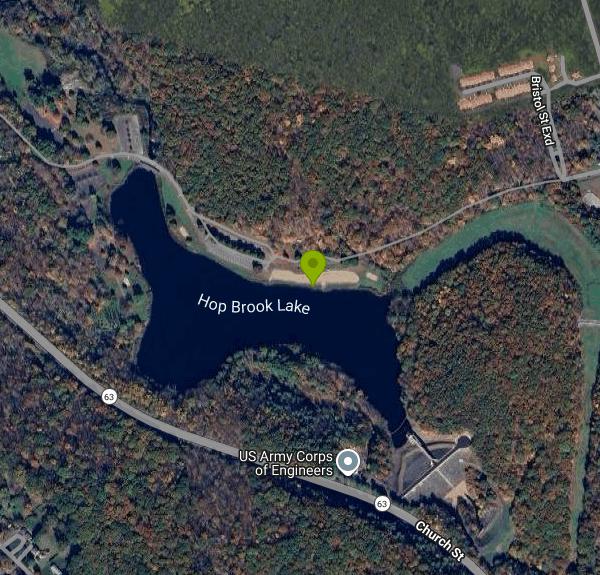 Trails and open ground on the Corps of Engineers property at Hop Brook Lake, Middlebury, Connecticut courtesy of k.steudel↗ (CC BY 2.0↗)

 A racer on singletrack through bare April woods on the Hop Brook Lake trail system courtesy of k.steudel↗ (CC BY 2.0↗)
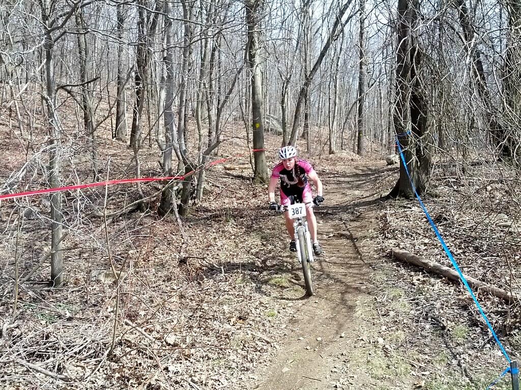
 Hop Brook Lake Recreation Area during the April 2013 Hop Brook Dam cross country race, Middlebury courtesy of k.steudel↗ (CC BY 2.0↗)
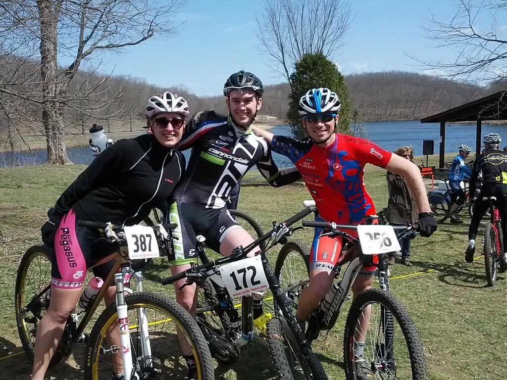
 Two riders at the staging area before a cross country mountain bike race at Hop Brook Lake Recreatio courtesy of k.steudel↗ (CC BY 2.0↗)

 Riders gathering in the gravel lot at Hop Brook Lake before the Hop Brook Dam race courtesy of k.steudel↗ (CC BY 2.0↗)
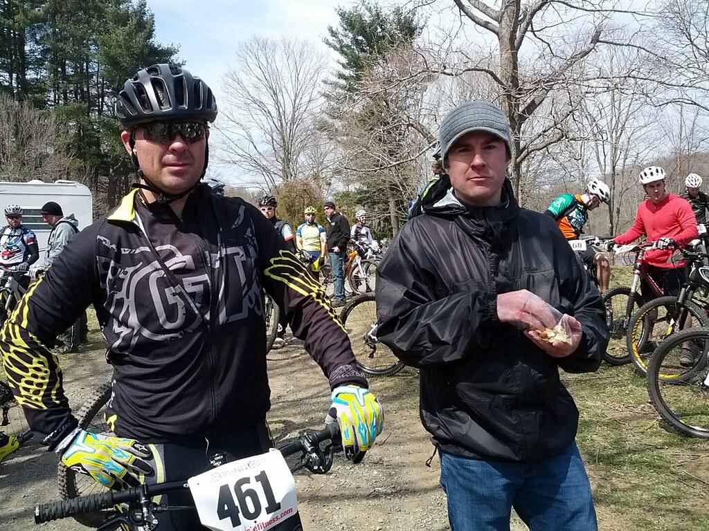 The field lined up at the start at Hop Brook Lake Recreation Area, April 2013 courtesy of k.steudel↗ (CC BY 2.0↗)

Other Swimming Holes, Hiking Trails, Canoeing Areas, and Kayaking Areas Nearby
Hotchkissville Bridge
Woodbury, Connecticut
8.5 miles NWSwim near Woodbury, Connecticut
Swim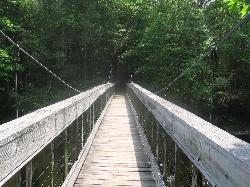
Steep Rock
Washington, Connecticut
15.1 miles WA fun mix of 4x4 singletrack, forest trail, and powerline downhills winding from Judd's Bridge to Steep Rock's pinnacle, with great views and a rough but exciting descent.
Hike, Mountain Bike
Miller Pond
Durham, Connecticut
22.8 miles ESwim near Durham, Connecticut
Swim
Saugatuck River
Weston, Connecticut
23.8 miles SWSwim near Weston, Connecticut
Swim
Satans Kingdom
New Hartford, Connecticut
24.3 miles NSwim near New Hartford, Connecticut
Swim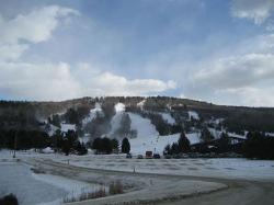
Mohawk Mountain State Park
Cornwall, Connecticut
25.0 miles NWA 15-mile backcountry route of logging roads and singletrack climbing to the top of Mohawk Mountain, with trail junctions, river sections, and cross-country ski terrain.
Cross-country Ski, Hike, Mountain Bike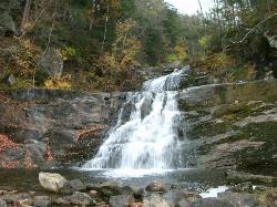
Kent Falls State Park
Kent, Connecticut
25.4 miles NWA scenic waterfall park in Kent, Connecticut where the lot fills fast on summer weekends — arrive early; the park closes to new visitors once the lot reaches capacity.
Hike
Cotton Hollow
Glastonbury, Connecticut
26.7 miles ESwim near Glastonbury, Connecticut
Swim
Metacomet Trail
East Granby, Connecticut
34.2 miles NEA 62.7-mile Blue-Blazed trail along Connecticut's Metacomet Ridge — part of the New England National Scenic Trail — open to hikers, backpackers, bikers, horseback riders, and in winter, snowshoers.
Hike, Mountain Bike
Hubbard River
Granville, Massachusetts
37.7 miles NSwim near Granville, Massachusetts
Swim
Riga Falls
Salisbury, Connecticut
39.2 miles NWRiga Falls is a scenic, little-known waterfall and swimming hole on Wachocastinook Creek in Connecticut's wild Mount Riga Preserve near Salisbury.
Swim
Salmon River
Salisbury, Connecticut
39.2 miles NWSwim near Salisbury, Connecticut
Swim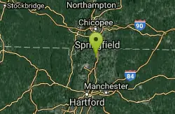
Windsor Locks Canal Trail
Suffield, Connecticut
40.2 miles NEA 4.5-mile towpath trail along a 170-year-old historic canal with scenic vistas of both the Connecticut River and the old waterway itself.
Hike, Mountain Bike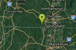
Granville Gorge
Southwick, Massachusetts
40.5 miles NGranville Gorge is a magical little slice of the southern Berkshire Hills — a lush, green gorge where the Hubbard River carves a series of mini waterfalls and clear swimming holes through the...
Mountain Bike, Swim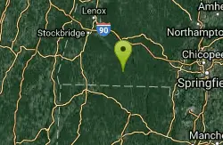
Buck River
Sandisfield, Massachusetts
40.8 miles NSwim near Sandisfield, Massachusetts
Swim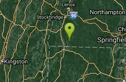
Umpachene Falls
New Marlborough, Massachusetts
41.2 miles NSwim near New Marlborough, Massachusetts
Swim
Scantic Rapids
Enfield, Connecticut
42.1 miles NESwim near Enfield, Connecticut
Swim
Somersville Mill Pond/Scantic River
Somers, Connecticut
43.9 miles NESomersville Mill Pond and Scantic River is located near Somers, Connecticut. The trail is primarily used for canoeing and is accessible from April until October.
Canoe
Bash Bish Falls
Mount Washington, Massachusetts
46.7 miles NWSwim near Mount Washington, Massachusetts
Swim
River Pool At Beacon
Beacon, New York
47.4 miles WSwim near Beacon, New York
Swim


