


Imperial Dam Long Term Visitor Area
Winterhaven
Camp, Hike, Kayak, and Swim
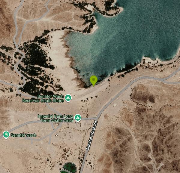
The Imperial Dam Long Term Visitor Area is a 3,500-acre desert camping area run by the Bureau of Land Management's Yuma Field Office, on the California side of the Colorado River about 22 miles north of Interstate 8. The swimming here happens at Senator Wash Reservoir, a 1,322-acre off-stream reservoir built around 1960 to hold Colorado River water above Imperial Dam. The long-term camping loops sit back on the flats, and the reservoir's South Shore, where BLM lists the LTVA's own coordinates, is the closest place to reach the water.
From Yuma, take 4th Avenue north out of town to Imperial County Road S-24 and follow it about 22 miles to Senator Wash Road. Turn left and drive about 3 miles to the South Mesa campground, turn left, go roughly 200 yards and take the access road on the right down to the reservoir. The South Shore is a flat, open area of about 50 acres where you can park close to the beach. The North Shore is signed from the same route through South Mesa, and the Senator Wash Boat Ramp Day Use Area sits on the east side of the reservoir off the same road.
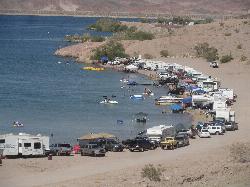
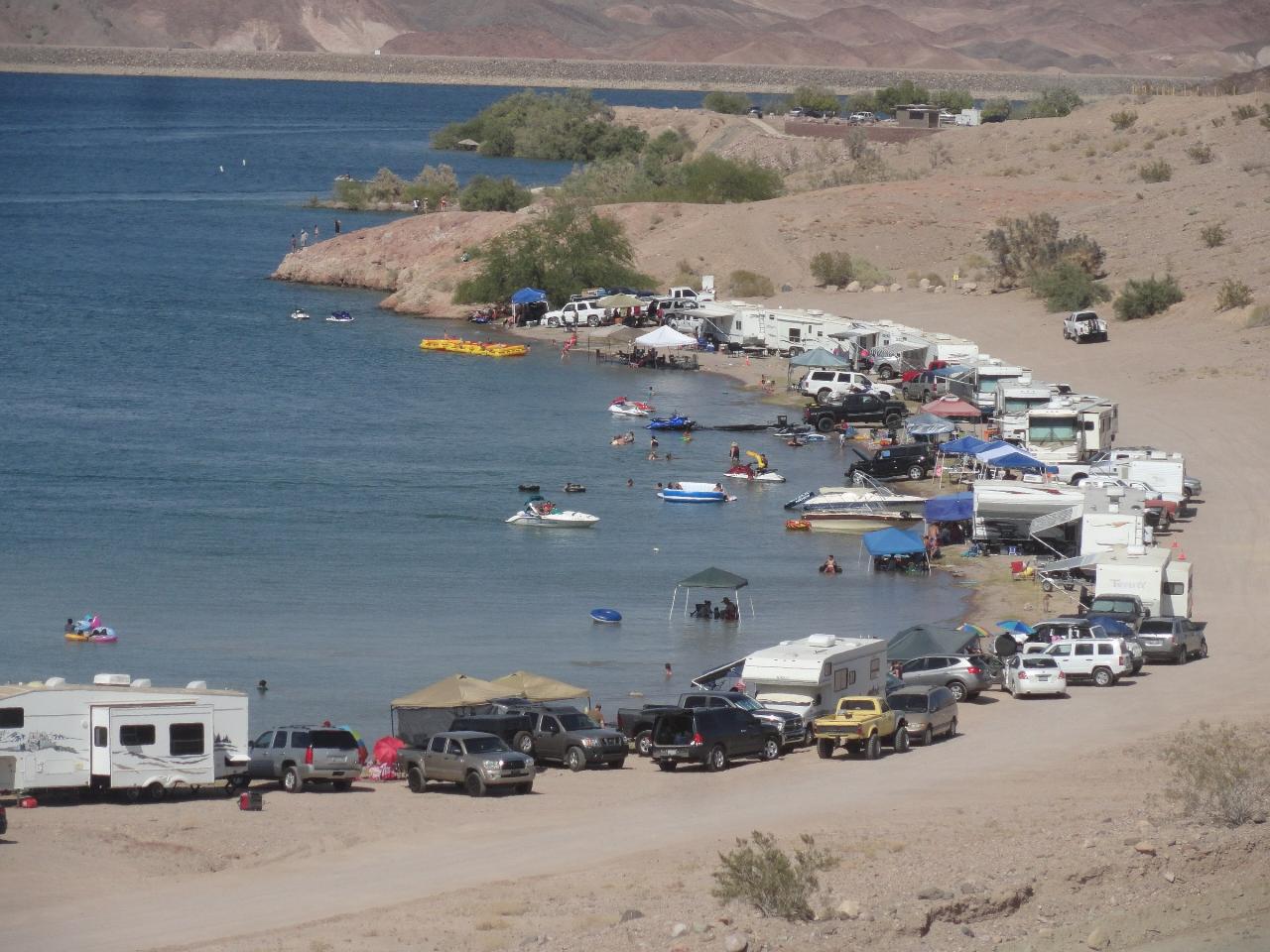
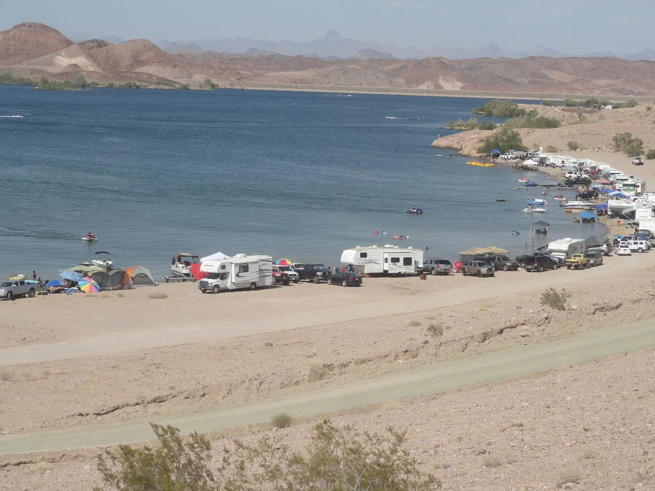
The shoreline is coarse gravel and sand rather than fine beach, and it slopes straight into the reservoir with no roped swim area. There are no lifeguards anywhere on the reservoir, and BLM says so plainly for the boat ramp swim area. Boats, personal watercraft and tubers use the same water as swimmers, especially on spring and summer weekends when the South Shore fills with RVs and boats pulled up on the gravel, so stay close to shore and visible. Water levels move because the reservoir is used for pumped storage, with water sent out to irrigation and pumped back up from the river, so the edge and the footing can change from week to week.
This is not free. From September 15 to April 15 the area falls under BLM's Long Term Visitor Area permits: $40 for any 14 consecutive days or $180 for the full season, valid at every BLM LTVA. From April 16 to September 14 the fee is $10 per vehicle for day use, $15 per vehicle overnight or $75 per vehicle for an annual pass, covering up to five people, with $1 for each extra person. Fees are paid on site or at the Yuma Field Office, and the shoreline camping areas have a 14 days in 28 limit. The boat ramp day use area is open 6 a.m. to 10 p.m. BLM reviews these fees from time to time, so check current rates before you go.
Summer heat is the main hazard. Air temperatures in this stretch of the lower Colorado routinely pass 110 degrees, there is little shade on the South Shore, and the gravel gets hot enough to burn bare feet. Bring more water than you think you need. The South Shore has two restrooms with flush toilets, outdoor showers and drinking water, though campers have reported the showers and restrooms closed at times, so do not count on them.
The reservoir is also used for fishing, paddling, water skiing and off-highway riding on the surrounding BLM roads. Small boats and kayaks can launch straight off the gravel, and the paved ramp on the east side handles bigger boats. Imperial Dam and Xanyo Xamshre (formerly Squaw Lake) are a short drive away, and the long-term camping area has a dump station, water fill and trash service for RVs.
More Information
Be courteous, informed, and prepared. Read trailhead guidelines, stay on the trail, and don't feed the wildlife.
Read More
- Plan Ahead and Prepare
- Travel & camp on durable surfaces
- Dispose of waste properly
- Leave what you find
- Minimize campfire impacts
- Respect wildlife
- Be considerate of other visitors
Directions
From Winterhaven
- Head south (79 ft)
- Turn right toward Railroad Ave (56 ft)
- Turn right onto Railroad Ave (453 ft)
- Turn right onto G St (476 ft)
- Turn left onto 1st St (0.8 mi)
- Turn right onto Arnold Rd (1.0 mi)
- Turn left onto Picacho Rd (2.0 mi)
- Turn right onto Ross Rd (3.5 mi)
- Turn left onto Bard Rd (1.0 mi)
- Merge onto 8th St (0.4 mi)
- Continue onto Ave C/
York Rd (1.5 mi) - Ave C/
York Rd turns slightly right and becomes 11th St (2.1 mi) - Continue onto County Hwy S24/
Imperial Dam Rd Continue to follow County Hwy S24(4.9 mi) - Turn left onto Senator Wash Rd (2.7 mi)
 Swimmers, boats and RVs along the gravel South Shore of Senator Wash Reservoir. courtesy of BLMArizona↗ (Public domain↗)
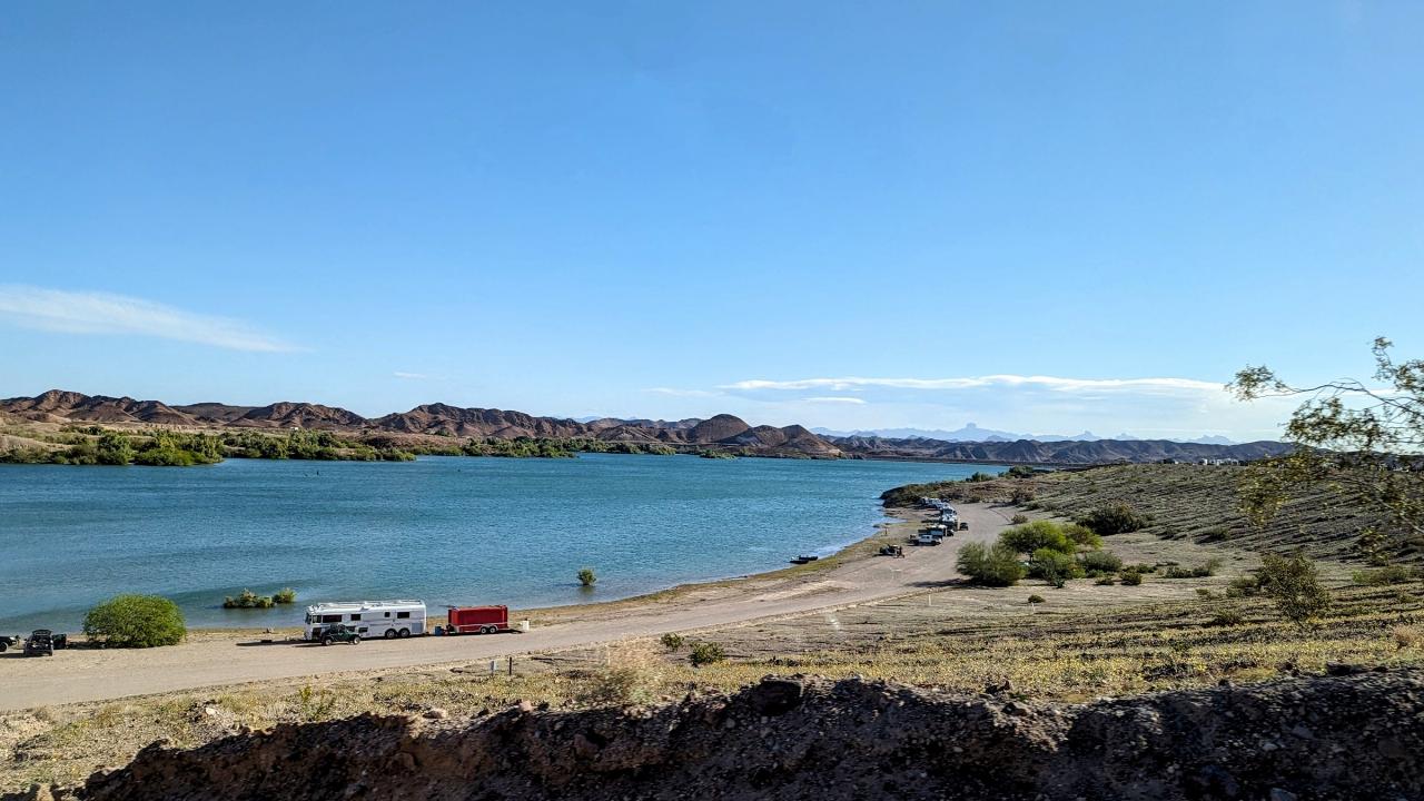
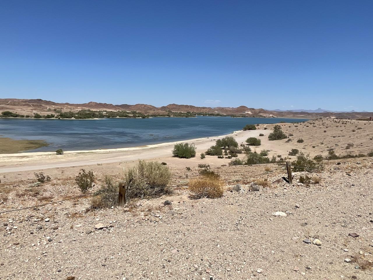
 Senator Wash Reservoir seen from the road above the South Shore. courtesy of CK1K3RA↗ (CC0↗)
 Campers and boats lined up on the South Shore beach. courtesy of BLMArizona↗ (Public domain↗)
 Open gravel beach and desert brush on the South Shore. courtesy of BLMArizona↗ (Public domain↗)
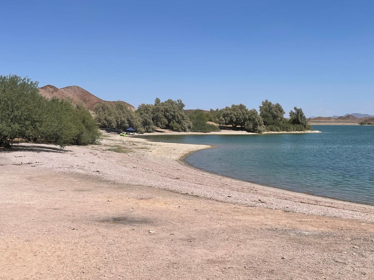
 A gravel cove with shade trees on the reservoir's North Shore. courtesy of BLMArizona↗ (Public domain↗)
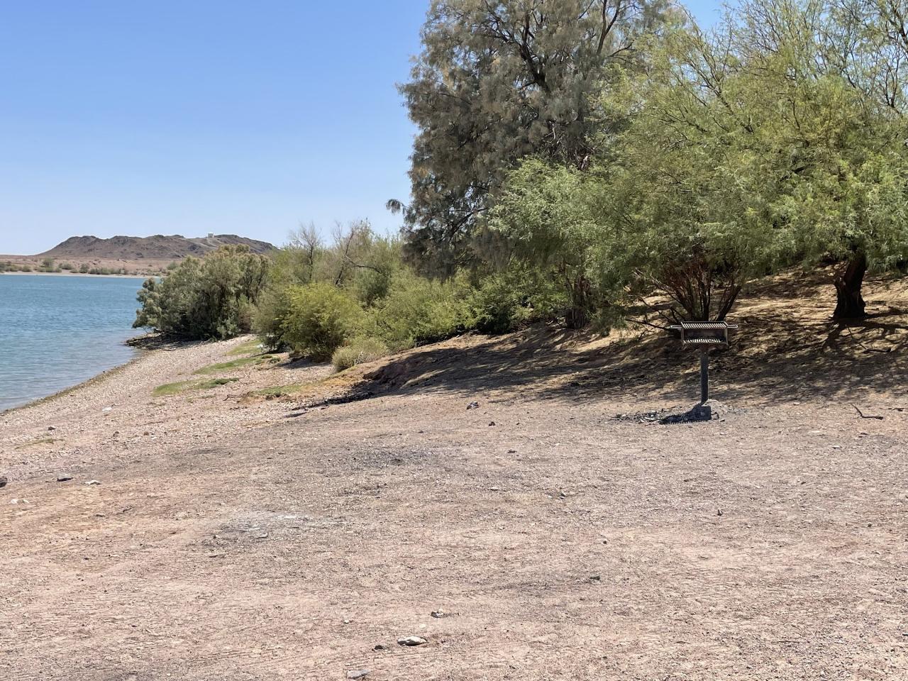
 Shaded shoreline site with a grill on the North Shore. courtesy of BLMArizona↗ (Public domain↗)
Other Swimming Holes, Hiking Trails, and Kayaking Areas Nearby
Gateway Park
Yuma
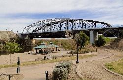
14.0 miles SWA free City of Yuma river park with a sandy Colorado River beach shaded by the I-8 bridge, next to the historic Ocean-to-Ocean Bridge in downtown Yuma. Open 5 a.m. to 11 p.m.; no lifeguards.
Hike, Swim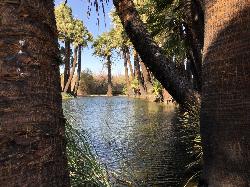
Holtville Hot Springs
Holtville
46.1 miles WFree, BLM-managed geothermal soaking tubs and a palm-lined pond beside I-8 east of Holtville, inside the Hot Springs Long Term Visitor Area. Day use costs nothing; camping permits apply September 15 to April 15.
Camp, Hot Springs, SwimNearby Campsites

Fortuna Pond
Yuma, Arizona
12.7 miles SAn 8.5-acre pond near Yuma open year-round for fishing and small boating, stocked with largemouth bass, channel catfish, and winter rainbow trout — but summer temperatures can reach 120 degrees.
Camp
Holtville Hot Springs
Holtville
46.1 miles WFree, BLM-managed geothermal soaking tubs and a palm-lined pond beside I-8 east of Holtville, inside the Hot Springs Long Term Visitor Area. Day use costs nothing; camping permits apply September 15 to April 15.
Camp, Hot Springs, Swim


