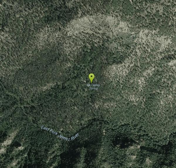
Jemez Springs Area
Faywood, New Mexico
| GPS: |
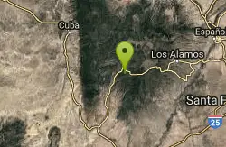
35°49'12.7"N 106°37'38.6"W Maps | Directions |
| State: | New Mexico |
Swim
More Information
swimmingholes.org New Mexico Swimming Holes and Hot Springs rivers creek springs falls hiking campin
THE web site for beautiful, natural places for a cool dip or hot soak.
https://www.swimmingholes.org/nm.html
- Plan Ahead and Prepare
- Travel & camp on durable surfaces
- Dispose of waste properly
- Leave what you find
- Minimize campfire impacts
- Respect wildlife
- Be considerate of other visitors
Directions
From Faywood, New Mexico
- Head northwest on NM-61 N (4.3 mi)
- Turn right onto NM-152 N (50.4 mi)
- Turn left to merge onto I-25 N (178 mi)
- Take exit 242 for NM-165 E/Placitas toward US-550 W/Bernalillo (0.2 mi)
- Turn left onto NM-165 W/US-550 N (signs for Sandoval County Station)Continue to follow US-550 N(22.1 mi)
- US-550 N turns slightly right and becomes US-550 N (1.4 mi)
- Turn right onto NM-4 E (29.0 mi)
- Turn right (2.0 mi)
to add photos & videos and suggest edits
Edit Review
Delete Review