


Jones Lake State Park
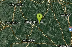
Elizabethtown
Camp, Canoe, Hike, Kayak, and Swim
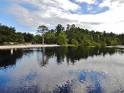
Jones Lake State Park is a North Carolina state park managed by the N.C. Division of Parks and Recreation in Bladen County, about 4 miles north of Elizabethtown. Its swim beach sits on the southeast shore of Jones Lake, a 224-acre Carolina bay, one of the oval, shallow basins scattered across the Atlantic Coastal Plain. No stream feeds the lake. It fills from rain alone, and the peat and decaying plants on its bottom stain the water the color of strong tea and keep it acidic. The park opened in 1939 as the first North Carolina state park open to Black visitors, and for decades families from across the southeast part of the state came here for reunions, church picnics and baptisms.
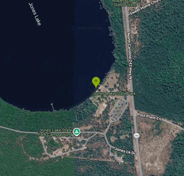
The entrance is at 4117 NC Highway 242 N., Elizabethtown, roughly 40 miles southeast of Fayetteville. Follow the park road to the visitor center, where the parking lots sit right next to the day-use area. The beach is a short walk west of the visitor center, between the picnic grounds and the boathouse, with a bathhouse and a seasonal concession stand just behind the sand.
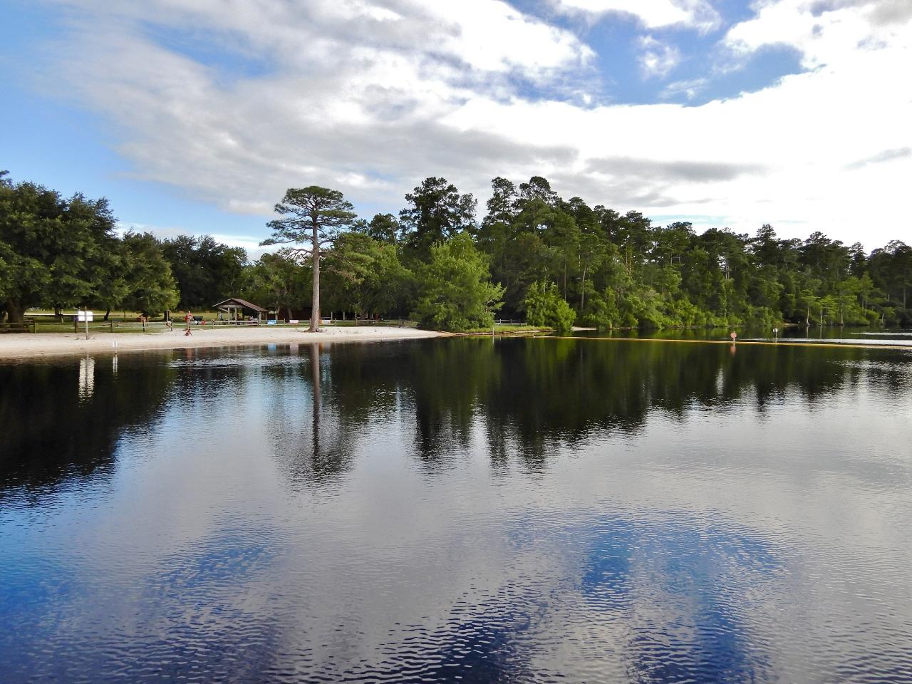
Swimming is allowed only inside the designated area off the beach, and state park rules keep boats, canoes and rafts out of it. The beach is sand, and the whole lake is shallow. Even its deepest point is only about 8 feet, so the water runs warm by midsummer. The dark water hides the bottom completely, so wade in rather than dive. The park's pages say nothing about lifeguards, so plan on swimming at your own risk and keep a close eye on kids. There is no current, but summer thunderstorms build fast over the coastal plain; get out of the water at the first rumble.
Jones Lake charges nothing to get in or to swim. NC State Parks lists no day-use fees here, and money changes hands only for boat rentals, camping, event permits and facility reservations. The gates open at 8 a.m. every day and close at 6 p.m. from November through February, 8 p.m. in March, April, May, September and October, and 9 p.m. in June, July and August. The park is closed on Christmas Day and open every other holiday. Leashed pets (6-foot leash or shorter) are welcome in the park but not on the swim beach or inside buildings. Mosquitoes are thick in warm weather around a bay lake, and the park warns about ticks and venomous snakes off the trails, so bring repellent.
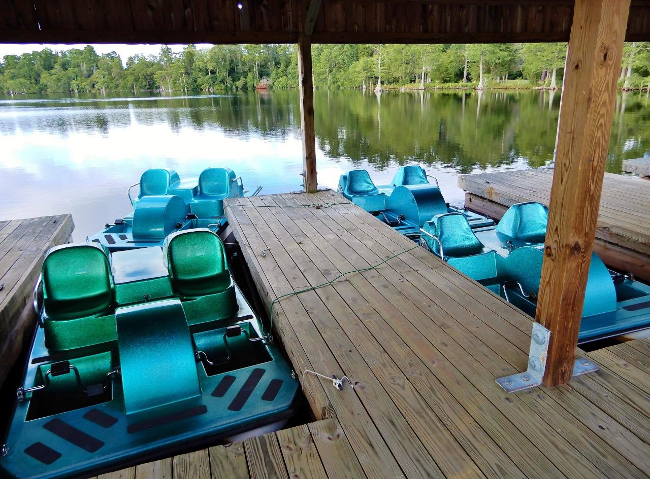
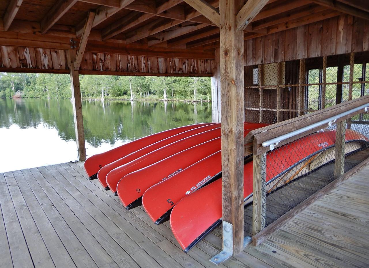
The beach is part of a larger day-use area with picnic tables, grills, several shelters and a sand volleyball court. In summer the boathouse rents canoes and paddleboats, and you can launch your own canoe or kayak from the ramp; motors on the lake are limited to 10 horsepower. There is also a fishing pier, though the acidic water keeps fish numbers low. The 4-mile Bay Trail circles the lake past pond cypress draped in Spanish moss, with side paths down to the shore, and the 1-mile Salters Lake Trail branches off it to reach the park's second, wilder Carolina bay. The campground has 20 wooded sites, six with full hookups, plus a group site.
More Information
Be courteous, informed, and prepared. Read trailhead guidelines, stay on the trail, and don't feed the wildlife.
Read More
- Plan Ahead and Prepare
- Travel & camp on durable surfaces
- Dispose of waste properly
- Leave what you find
- Minimize campfire impacts
- Respect wildlife
- Be considerate of other visitors
Directions
From Elizabethtown
- Head northwest on US-31W N/
W Dixie Ave (0.4 mi) - Turn right onto Diecks Dr (0.6 mi)
- Turn right onto Balmoral Rd (0.3 mi)
- Turn left onto N Mantle Ave (118 ft)
- Turn right onto St James Ave (0.3 mi)
- Turn left onto N Miles St (0.4 mi)
- At the traffic circle, take the 1st exit onto W French St (0.6 mi)
- Turn left onto N Mulberry St (1.0 mi)
- Merge onto I-65 S via the ramp to Nashville (0.9 mi)
- Take exit 93 for Blue Grass Pkwy toward Bardstown/
Lexington (0.9 mi) - Continue onto KY-9002 E/
Bluegrass Pkwy (70.6 mi) - Take exit 72A to merge onto US-60 E/
Lexington Rd toward Lexington Continue to follow US-60 E(6.4 mi) - Take the KY-4 N/
New Circle Rd ramp to I-75/ I-64 (0.5 mi) - Merge onto KY-4 N/
W New Cir Rd (5.6 mi) - Turn left after Hardee's (on the right) (1.0 mi)
- Turn left to merge onto I-64 E/
I-75 S toward Knoxville/ Ashland (2.4 mi) - Keep left to continue on I-64 E, follow signs for Winchester/
Ashland Entering West Virginia(169 mi) - Slight right to stay on I-64 E (signs for Beckley)Toll road(55.0 mi)
- Keep left to continue on I-64 E/
I-77 S (5.2 mi) - Slight right onto I-77 SToll roadEntering Virginia(66.8 mi)
- Take the exit onto I-77 S/
I-81 N/ US-52 S toward Charlotte/ Roanoke Continue to follow I-77 S/(8.8 mi)I-81 N - Take exit 81 for I-77 S toward Charlottte NC (0.4 mi)
- Continue onto I-77 SEntering North Carolina(36.7 mi)
- Keep left to continue on I-74, follow signs for Mt Airy/
Winston - Salem (12.7 mi) - Continue onto US-52 S (20.5 mi)
- Keep left to continue on I-74 E (13.0 mi)
- Take exit 53 toward US-421 S (0.4 mi)
- Take the ramp onto US-421 S (7.6 mi)
- Merge onto I-40 E/
US-421 S (4.8 mi) - Continue straight onto US-421 S (signs for I-73 S/
I-85/ Asheboro/ Durham) (1.0 mi) - Continue onto I-73/
US-421 S (7.0 mi) - Continue onto US-421 S (0.3 mi)
- US-421 S turns slightly right and becomes I-85 N/
US-421 S (3.9 mi) - Take exit 126A-126B to merge onto US-421 S toward Sanford (55.6 mi)
- Continue onto NC-87 BYP (1.2 mi)
- Continue onto NC-87Pass by Wendy's (on the right in 13.5 mi)(21.0 mi)
- Continue straight onto NC-210 S/
N Bragg Blvd Continue to follow NC-210 S(9.1 mi) - Turn left onto NC-210 S/
NC-24 E (2.1 mi) - Slight right onto NC-210 S/
NC-53 E/ Cedar Creek Rd Continue to follow NC-53 E/(10.8 mi)Cedar Creek Rd - Continue straight (351 ft)
- Continue straight onto Turnbull Rd (8.6 mi)
- Continue onto Old Fayetteville Rd (4.8 mi)
- Continue onto Ammon Community Center Rd (0.2 mi)
- Turn right onto NC-242 S (8.9 mi)
- Turn right (167 ft)
- Turn right (184 ft)
 The designated swimming area off the sand beach at Jones Lake State Park. courtesy of ncwetlands.org↗ (CC0↗)
 Paddleboats at Jones Lake, where the boathouse beside the swim beach rents them in summer. courtesy of ncwetlands.org↗ (CC0↗)
 Canoes at Jones Lake State Park. courtesy of ncwetlands.org↗ (CC0↗)
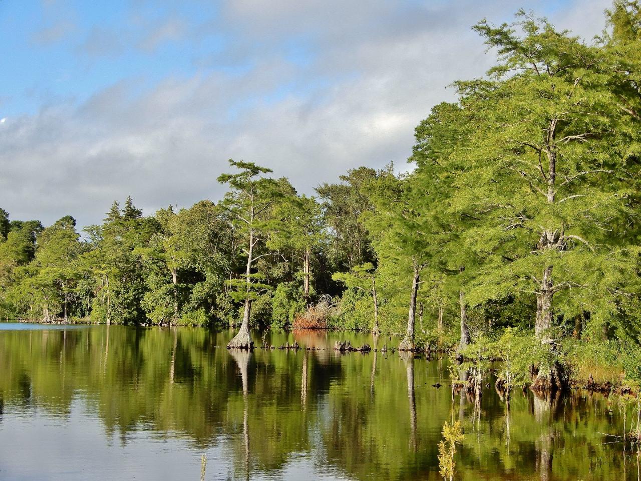
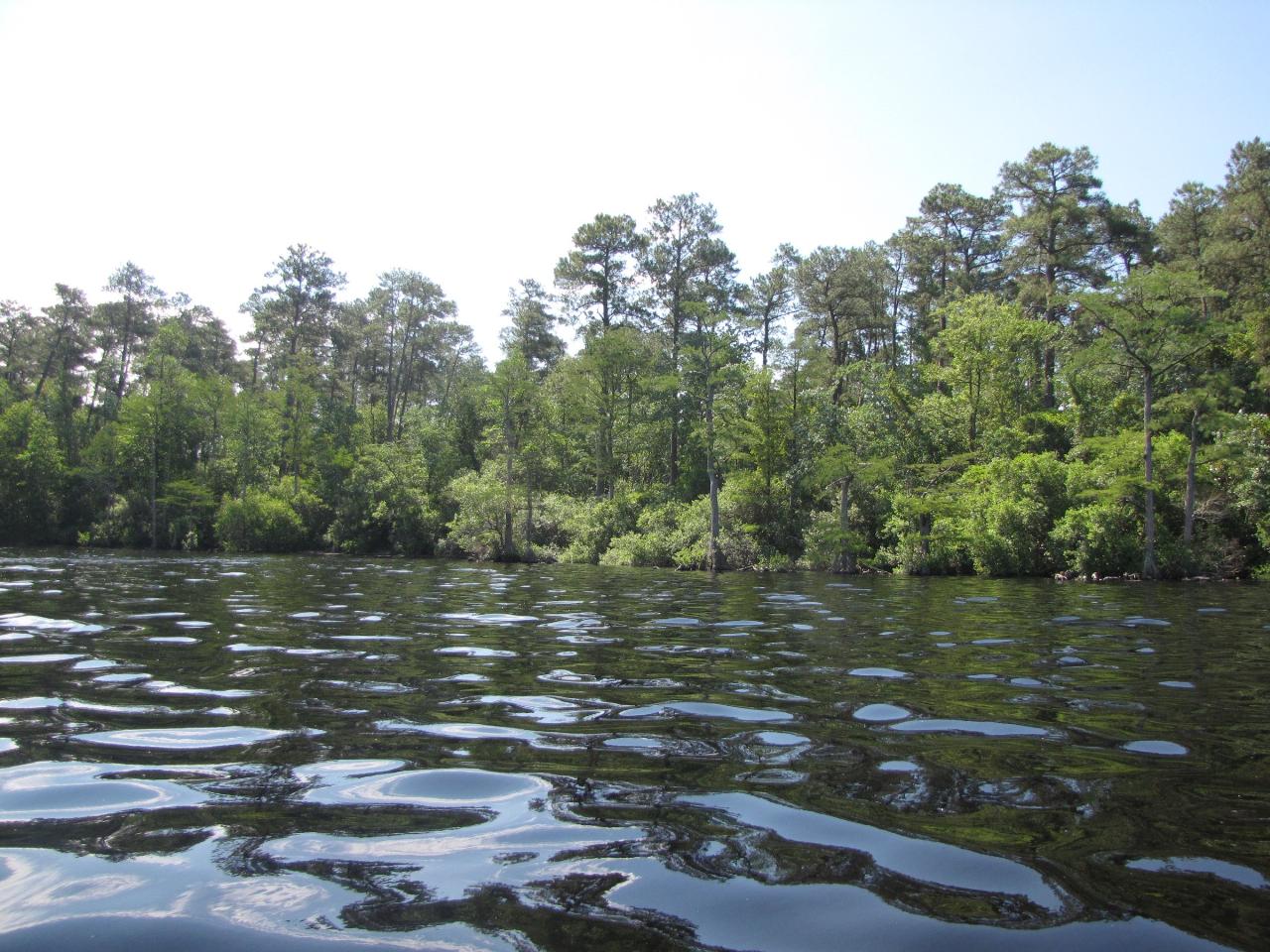
 The dark, tannin-stained water at the edge of Jones Lake. courtesy of ncwetlands.org↗ (CC0↗)
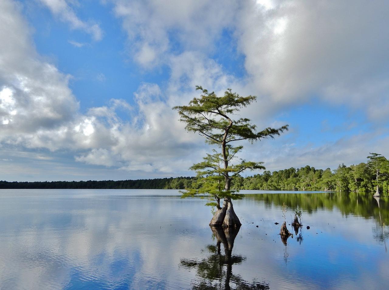
 A lone cypress at the edge of Jones Lake. courtesy of ncwetlands.org↗ (CC0↗)
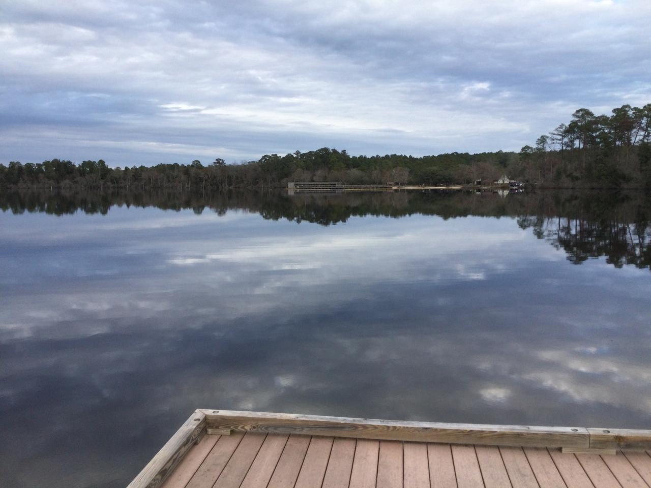
 The pier on Jones Lake at Jones Lake State Park. courtesy of DiscoA340↗ (CC BY-SA 4.0↗)
 The wooded shore of Jones Lake, seen on a canoe trip. courtesy of Gerry Dincher from Hope Mills, NC↗ (CC BY-SA 2.0↗)
Other Swimming Holes, Hiking Trails, Canoeing Areas, and Kayaking Areas Nearby
White Lake
Elizabethtown, North Carolina
6.3 miles SESwim near Elizabethtown, North Carolina
Swim
Deep Bottom
Wallace, North Carolina
43.6 miles EA deep spring swimming hole on the Cape Fear River with rope swings and ladder jumps — free to access, though recent fatalities are linked to on-site underage drinking.
Swim


