Lake Yankton Beach
Yankton
Canoe, Hike, Kayak, and Swim
Lake Yankton Beach is the U.S. Army Corps of Engineers swim beach in the Training Dike Day-Use Area (also called Training Dike Recreation Area), part of the Corps' Gavins Point Project just below Gavins Point Dam. The sand sits on the north side of the training dike, a long, narrow strip of land that separates Lake Yankton from the Missouri River, about four miles west of downtown Yankton, South Dakota. The lake lies north of the river, but the state line follows the river's old main channel, which is now the lake itself, so the dike and most of the lake's southern shore fall in Cedar County, Nebraska. Nebraska's environmental agency samples the water here, and Cedar County's sheriff answers emergency calls.
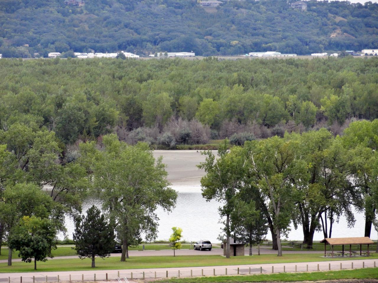
The beach is a small sandy cove with a parking lot directly behind it on the road that runs along the dike, so the walk from car to water is only a few steps. The rest of the day-use area strings out along the same road with shore fishing spots, picnic areas, a boat ramp on each side of the dike (one into Lake Yankton, one into the Missouri), kayak and canoe launches and a paved multi-use trail. There is no camping on the dike. The Corps' Cottonwood Campground, on the lake's west shore, has 77 electric sites on Recreation.gov.
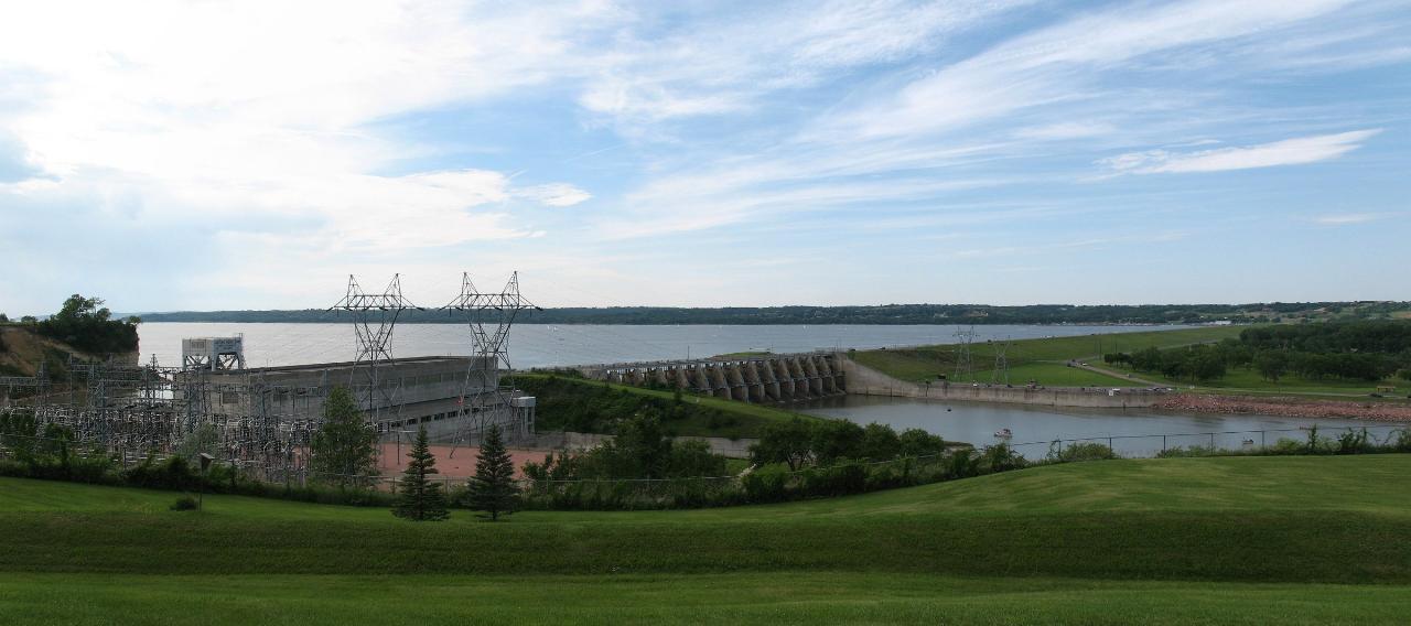
Lake Yankton was part of the Missouri's main channel until the Corps built Gavins Point Dam between 1952 and 1957 and pushed the river south to its present course. The dike was built to hold the river there, and the old channel was impounded as a controlled-level lake of roughly 250 to 300 acres. It has no current, and gasoline motors are banned (the Corps allows electric motors only), so swimmers share the water with kayaks, canoes, paddleboards and anglers instead of ski boats. That calm water is the reason families come here instead of the much bigger Lewis and Clark Lake on the other side of the dam.
The Corps lists no fee for the Training Dike area, so the beach is free to use. Nebraska's Department of Water, Energy and Environment includes Lake Yankton in its Beach Watch program, sampling weekly from May through September for E. coli and toxic blue-green algae and posting results by Friday. A sample taken on August 10, 2026 came back at 1,300 colonies per 100 milliliters, well over the 235 threshold, and the following week's report showed the lake back under it. Spikes like that usually follow heavy rain, so check Beach Watch after a storm.
The lake is wider than it looks from the sand. On July 4, 2021, a 16-year-old from Madison, Nebraska drowned after trying to float across the lake from the swimming beach on an inflatable toy, with no life jacket. Stay close to shore unless you have a real flotation device.
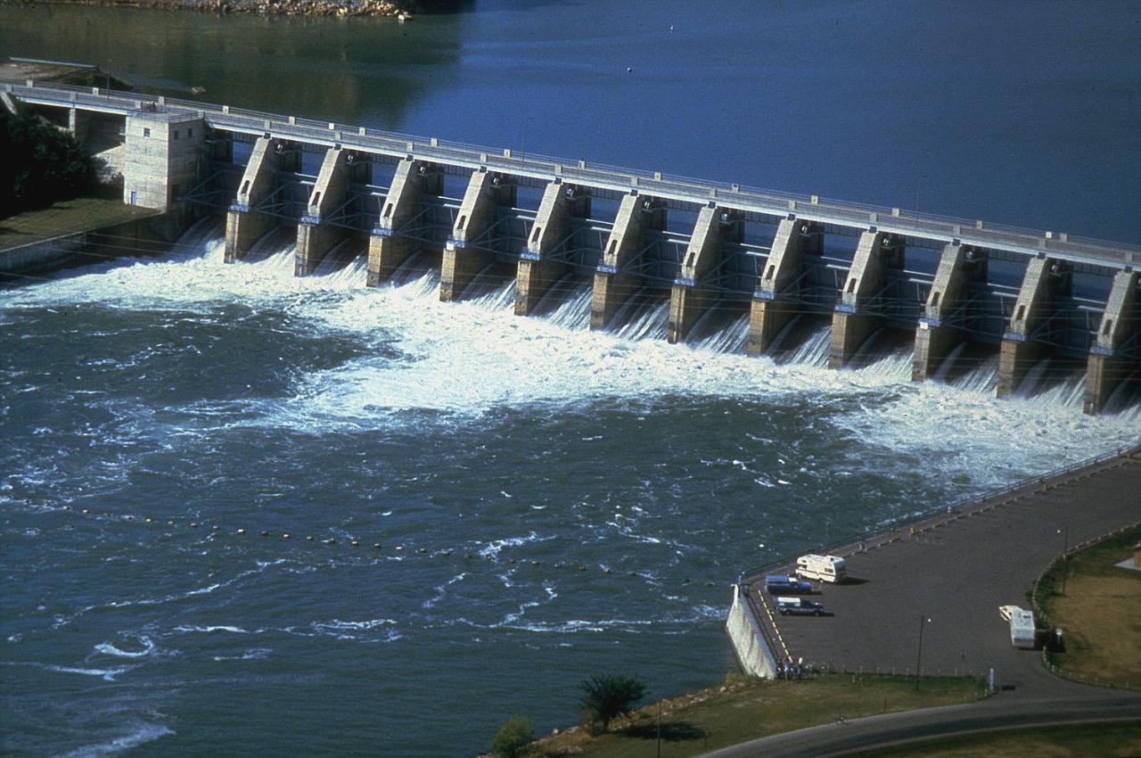
The 2011 Missouri River flood backed the river into Lake Yankton and brought Asian carp in with it. In September 2014 the Corps, Nebraska Game and Parks and South Dakota Game, Fish and Parks drew the lake down and treated it with rotenone to clear it out, then restocked it with largemouth bass, bluegill, walleye, crappie and catfish. The lake's outlet at the east end, known locally as The Bubble, is a popular fishing spot. Just west of the beach the Corps manages prairie along the dike road for pollinators, using prescribed burns. The dam, the Lewis and Clark Visitor Center on Calumet Bluff and the Gavins Point National Fish Hatchery and Aquarium are all a short drive away.
More Information
Corps Lakes Gateway: South Dakota - Lewis and Clark Lake
An official website of the United States government Here's how you know
https://corpslakes.erdc.dren.mil/visitors/projects.cfm?ID=G606440Corps To Conduct Joint Prescribed Burn | Community | yankton.net
The U.S. Army Corps of Engineers’ Omaha District is planning to conduct a joint prescribed burn with the Southeast Dakota Prescribed Burn Association (SDPBA) on Friday west of Yankton, though
https://www.yankton.net/community/article_5bebecdf-bfe8-4108-a758-b607fee0fb16.htmlCottonwood (NE), Lewis and Clark Lake - Recreation.gov
Explore Cottonwood (NE) in Lewis and Clark Lake, Nebraska with Recreation.gov. Cottonwood Recreation Area is located just downstream of Gavins Point Dam and Lewis & Clark Lake along the western shore of Lake Yankton. The numerous outdoor
https://www.recreation.gov/camping/campgrounds/233467Lake Yankton Fishing Rules Changed | Community | yankton.net
Fishing on Lake Yankton is going to explode starting today (Friday) — and it will be legal.
https://www.yankton.net/community/article_529e603c-29a9-11e4-bc90-0019bb2963f4.htmlLake Yankton No Longer Has High E. Coli Reading | Community | yankton.net
Lake Yankton no longer has a high reading of Escherichia coli (E. coli) bacteria.
https://www.yankton.net/community/article_b06c7e38-e871-4e73-a97a-888de5538595.htmlUPDATE: Body Of 16-Year-Old Boy Recovered From Lake Yankton | Community | yankton.net
The body of a 16-year-old Madison, Nebraska, boy was recovered from Lake Yankton at about 8:30 p.m. on Sunday, July 4, by first responders from Nebraska and South Dakota.
https://www.yankton.net/community/article_92e444f6-ddd2-11eb-b2fd-b3ece597e00f.htmlBe courteous, informed, and prepared. Read trailhead guidelines, stay on the trail, and don't feed the wildlife.
Read More
- Plan Ahead and Prepare
- Travel & camp on durable surfaces
- Dispose of waste properly
- Leave what you find
- Minimize campfire impacts
- Respect wildlife
- Be considerate of other visitors
Directions
From Yankton
- Head west on W 4th St/
Oyate Trl toward Linn St Continue to follow Oyate Trl(0.8 mi) - Turn left onto SD-52 W/
W 8th St/ Oyate Trl Continue to follow SD-52 W/(3.7 mi)W 8th St - Turn left onto Toe Rd (1.7 mi)
- Turn left to stay on Toe RdDestination will be on the left(0.8 mi)
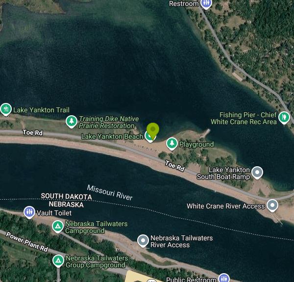 Lake Yankton and the Training Dike Recreation Area seen from the Lewis and Clark Visitor Center courtesy of Mike Glasch↗ (Public domain↗)
 Gavins Point Dam and the Missouri River just upstream of the training dike courtesy of Jake DeGroot↗ (CC BY-SA 3.0↗)
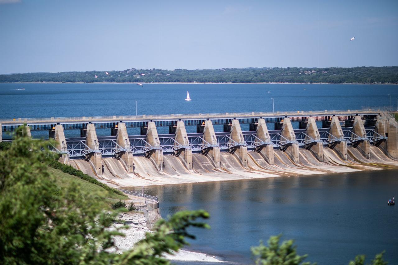
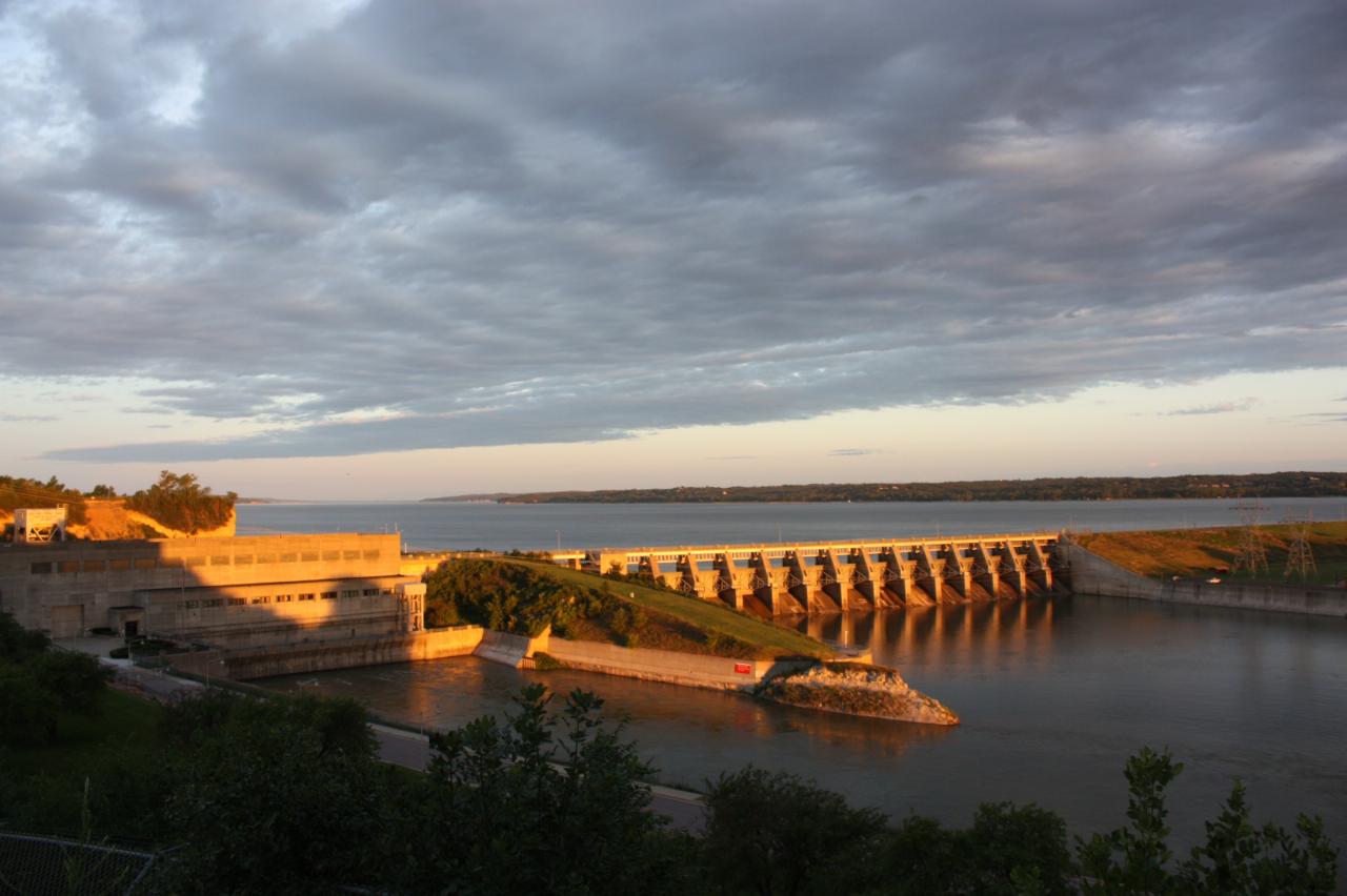
 Gavins Point Dam, which created Lake Yankton by moving the Missouri River channel south
 Sunrise at Gavins Point Dam above Lake Yankton courtesy of U.S. Army Corps of Engineers↗ (Public domain↗)
 Record 2011 flood release at Gavins Point Dam, the flood that backed the river into Lake Yankton courtesy of USACEpublicaffairs↗ (Public domain↗)
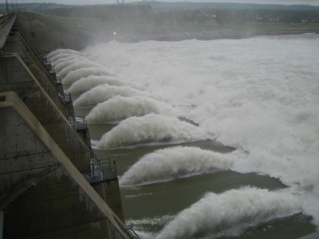 Intake structure at Gavins Point Dam courtesy of United States Army Corps of Engineers↗ (Public domain↗)