Mill Creek Swimming Hole
Moab, Utah
Swim
Mill Creek — known locally as the “Left Hand” fork — is one of Moab's most beloved warm-weather hikes, a lush desert canyon hiding clear swimming holes, a waterfall, and ancient rock art just minutes from downtown. It's a startling oasis: cottonwoods and flowing water tucked into miles of red rock, on BLM land that's free and open to all.
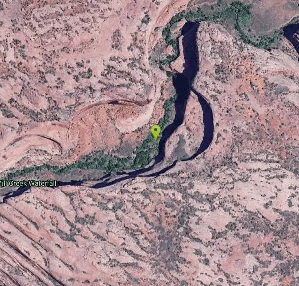
The hike is short and rewarding — about 1.6 miles round trip up the canyon from the trailhead at the end of Powerhouse Lane, where a small dirt lot and a BLM sign mark the start. The trail follows the creek past a string of natural pools to a roughly 30-foot waterfall and swimming hole that's a magnet for locals beating the heat. Shallow pools, gentle current, and even a couple of natural rock water slides make it pure summer fun, and some visitors cliff-jump into the deeper water.
The canyon is also rich with history: its walls hold numerous petroglyphs and pictographs left by the area's ancient inhabitants. Reaching the rock-art alcove involves climbing some slick rock ramps, so go carefully — and please admire the art without ever touching it, since oils from skin cause lasting damage.
A few cautions: always check the depth before jumping or sliding (water levels and the bottom change), watch for flash flooding after storms, and be careful on the slippery rock. There's no fee or permit. Spring and fall are most comfortable; summer is prime for swimming. Bring water, sturdy shoes with grip, and pack out everything — help keep this fragile local treasure clean. For a quick, gorgeous blend of swimming and ancient history, Mill Creek is quintessential Moab.
More Information
Mill Creek North Fork - Moab - Swimming Hole and Petroglyphs
Mill Creek Canyon near Moad offers a great swimming hole and several panels of rock art. Route information, pictures, map and description.
https://www.climb-utah.com/Moab/mill.htm
- Plan Ahead and Prepare
- Travel & camp on durable surfaces
- Dispose of waste properly
- Leave what you find
- Minimize campfire impacts
- Respect wildlife
- Be considerate of other visitors
Directions
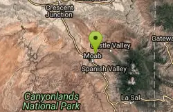
From Moab, Utah
- Head east on E Center St toward S 100 E/S 1st E St (0.4 mi)
- Turn right onto Fourth E St (0.4 mi)
- Turn left onto E Mill Creek Dr (0.5 mi)
- Turn right to stay on E Mill Creek Dr (0.8 mi)
- Turn left onto S Murphy Ln (1.5 mi)
- Turn left onto Old Mail Trail (0.2 mi)
- Turn left onto W Kayenta Dr (0.5 mi)
- Turn right onto N Kayenta Dr (0.3 mi)
The trailhead is located next to a paved highway and is accessible to all vehicles in all conditions. The trailhead is located within minutes of downtown Moab.