


Ohayo Mountain
Woodstock, New York
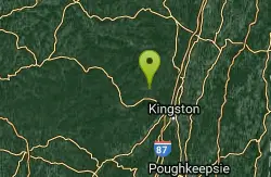
| Address: | ~99 NY-212, Woodstock, NY 12498, USA |
| GPS: |
42°2'25.0"N 74°7'21.4"W Maps | Directions |
| State: | New York |
| Trail Length: | 8.00 miles |
| Trail Type: | Out & Back |
| MTB Trail Type: | Singletrack |
Mountain Bike
Fun, not too hard uphill to the top of the mountain. Race downhill as fast as you can. A few steep technical sections. Courtesy of Singletracks.com
More Information
Add ResourceNever modify trail features. Ride trails when they're dry enough that you won't leave ruts. Speak up when you see others on the trail and always yield to hikers, horses, and others coming uphill. Always ride on the established trail.
Read More- Plan Ahead and Prepare
- Travel & camp on durable surfaces
- Dispose of waste properly
- Leave what you find
- Minimize campfire impacts
- Respect wildlife
- Be considerate of other visitors
Directions
From Woodstock, New York
- Head west on Mill Hill Rd toward Rock City Rd (46 ft)
- Continue onto Tinker StDestination will be on the left(0.2 mi)

Other Mountain Bike Trails Nearby
Overlook Mountain
Bearsville, New York
2.1 miles NIts steep double track to the top of the mountain to the fire tower. You could continue to Echo Lake. The way down is fast with waterbars. Watch out for hikers.
Mountain Bike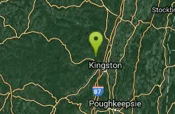
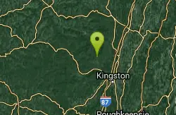
Red Trail
Kingston, New York
3.3 miles SEgreat network of small single track loops. Technical and well maintained.
Mountain Bike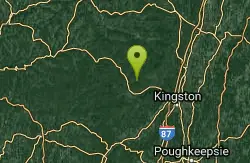
Wilson State Park
Mount Tremper, New York
5.2 miles WIt's a fun loop to goof off with. One part of the trail becomes flooded in the spring. Don't ride through it. It goes up past the handlebars.
Mountain Bike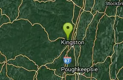
Jockey Hill
Kingston, New York
5.3 miles SEThere is a fireroad that runs up the middle of jockey hill state land with singletrack off of it and there is singletrack with a little fireroad from the upper parking lot tying in with...
Mountain Bike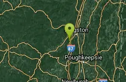
The Wallkill Valley Rail Trail
Kingston, New York
11.9 miles SScenic rail trail that runs through a few small towns including New Paltz New York. A good place to take a beginner or a child.
Mountain Bike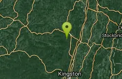
Round Top MTB Trails
Round Top, New York
15.5 miles NNetwork of mountain bike trails rated beginner to expert with doubletrack connector roads.
Mountain Bike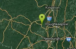
Spring Farm
Gardiner, New York
21.4 miles Sspring farm is a fun hilly intermediate to advanced area, it starts with an uphill rocky climb (crag trail) which leads to a fun downhill curvy hiking trail (cedar drive). from there it...
Mountain Bike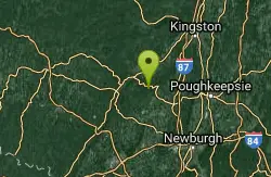
Minnewaska State Park
Gardiner, New York
22.3 miles SThere are multiple spots to park but the best starting point is Minnewaska State Park main parking. The upper parking lot overlooking Lake Minnewaska is best. This is mostly loose gravel and all...
Mountain Bike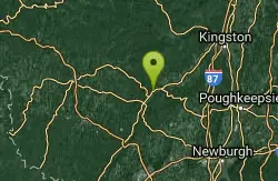
Lippman Park
Kerhonkson, New York
22.6 miles SWThere are so many possibilities for different rides I suggest printing a map from our website (www.renegadesmtb.com) and choose your own route. In general if you start with trail #1 and...
Mountain Bike
Greenport Conservation
Hudson, New York
23.9 miles NEFlat xc mostly, with a couple technical dips and climbs. Wide grassy trails in the meadows overlooking the Hudson River - just PEDAL. Once you get in the woods it's twistier, rooty...
Mountain Bike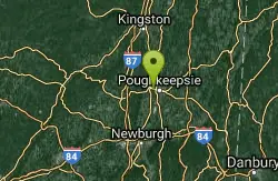
Franny Reese State Park
Highland, New York
24.9 miles SOne of the area's newest parks that allow mountain biking, Franny Reese Park is owned by Scenic Hudson and offers stellar views riding on the bank of the Hudson River. While there are...
Mountain Bike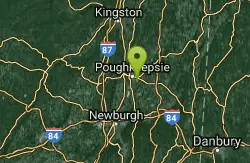
Vassar Farms
Poughkeepsie, New York
27.5 miles SEIn the past, Vassar Farms was known as a BMX and freerider's paradise, complete with jumps, doubles, and numerous wooden ladder features reminiscent of the North Shore. More recently,...
Mountain Bike
Taconic-hereford
Pleasant Valley, New York
27.8 miles SEThe terrain consists mostly of rolling hills with moderately steep slopes interspersed throughout. Fire roads & snowmobile trails circle and loop through dense hardwood forest over...
Mountain Bike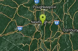
Beacon Mt.
Beacon, New York
38.6 miles STake either the blue trail (single track), white trail (single track/hike a bike), or the fire road all the way up to the old casino. From there if you keep taking the fire road it will...
Mountain Bike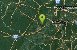
Camp Orange
Middletown, New York
38.6 miles SThe trails are a combination of Horse trails (double track) and single track. Excellent trails comparable to 909. Very flowy, uphills are rewarded with long downhills. There are...
Mountain Bike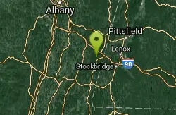
Beebe Hill
Chatham, New York
39.1 miles NEThere are several trails in the area, all open to bikes, however only 3 are really of interest to mountain-bikers. All start near the parking area.No Bottom Pond: Intermediate; Short...
Mountain Bike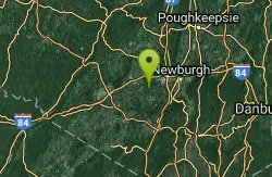
Stewart State Forest
Rock Tavern, New York
39.2 miles SMany trails to choose from with beginner to expert skill levels depending which trails you choose. It's best to hook up with a riding group that knows the area the first few time you...
Mountain Bike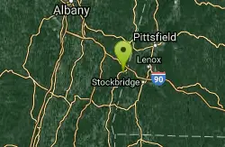
Harvey Mountain Trail
Austerlitz, New York
40.1 miles NEShort out, and back. ( see notes for loop options) The first mile of trail is an easy ride through the woods, then it turns UP. Trail opens up into a large blueberry field, continue...
Mountain Bike
Mohawk Mountain State Park
Cornwall, Connecticut
44.4 miles Emostly logging roads, can be ridden rigid. Climb to the top of mohawk mountain and back down. Lots more to be explored, this is a good 15 miles and 1.5 hours of riding.1) at the dead end first road...
Cross-country Ski, Hike, Mountain Bike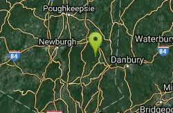
Ninham
Carmel Hamlet, New York
45.8 miles SEThere is no map of the area and it's easy to get lost. Lots and lots of trails. Some of them are extremly technical and difficult. This place is not for beginners. As difficult and...
Mountain Bike


