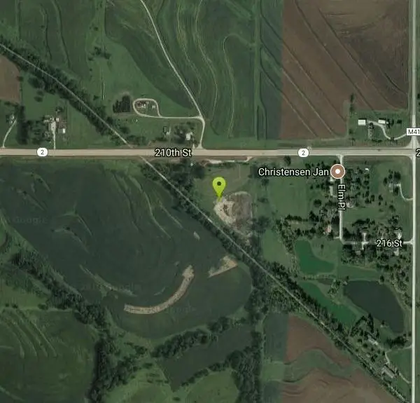
Old Gun Club & pond on Wabash Trail
Shenandoah, Iowa
Mountain Bike and Swim
The Wabash Trace Nature Trail is a 63 mile route, converted from a railroad right-of-way, coursing across the scenic southwest Iowa countryside from Council Bluffs to Blanchard at the Iowa—Missouri border. Don't let the "nature trail" part of its name deceive you. Though rich in wildlife, the Wabash Trace is one of Iowa's longest and most popular rail-trails, teeming with history and local color.
More Information
Wabash Trace Nature Trail | Iowa Trails | TrailLink
Wabash Trace Nature Trail spans 63 from Iowa West Foundation Trailhead Park (Harry Langdon Blvd & E South Omaha Bridge Rd, Council Bluffs) to N Railroad St, just north of the Iowa–Missouri state line (Blanchard). View amenities, descriptions, reviews, photos, itineraries, and directions on TrailLink.
https://www.traillink.com/trail/wabash-trace-nature-trail/Never modify trail features. Ride trails when they're dry enough that you won't leave ruts. Speak up when you see others on the trail and always yield to hikers, horses, and others coming uphill. Always ride on the established trail.
Read More
- Plan Ahead and Prepare
- Travel & camp on durable surfaces
- Dispose of waste properly
- Leave what you find
- Minimize campfire impacts
- Respect wildlife
- Be considerate of other visitors
Directions
From Shenandoah, Iowa
- Head south toward Rye St (269 ft)
- Turn left onto Rye St (148 ft)
- Turn left onto W Sheridan Ave (0.1 mi)
- Turn right onto Maple St (0.6 mi)
- Turn left onto W Nishna Rd (0.1 mi)
- Turn right onto Anna Crose Hwy (0.5 mi)
- Turn right onto A Ave (0.7 mi)
- Turn left onto IA-2 E (3.7 mi)
In Iowa running from the city of Council Bluffs southeast to Blanchard.