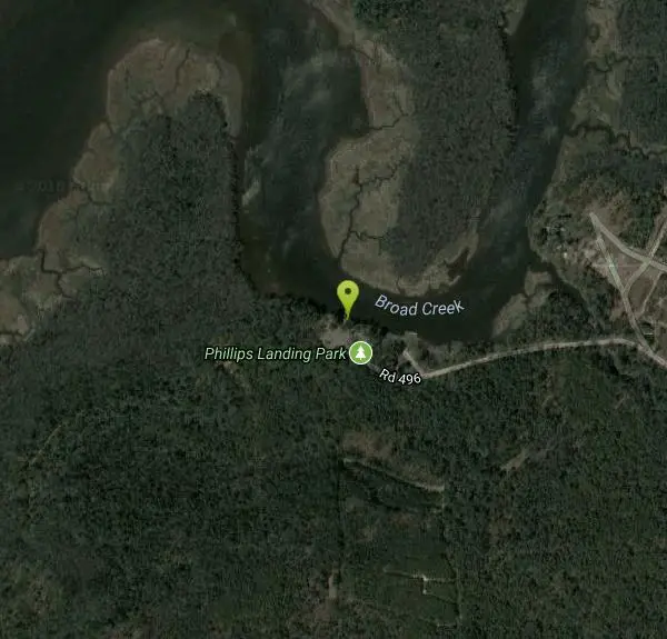
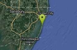
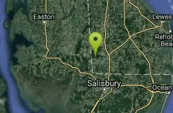
Phillips Landing
Laurel, Delaware
Swim
More Information
- Plan Ahead and Prepare
- Travel & camp on durable surfaces
- Dispose of waste properly
- Leave what you find
- Minimize campfire impacts
- Respect wildlife
- Be considerate of other visitors
Directions
From Laurel, Delaware
- Head east toward S Central Ave (39 ft)
- Turn left onto S Central Ave (89 ft)
- Turn left at the 1st cross street onto W Market St (0.2 mi)
- Continue onto West St (256 ft)
- Turn right onto Townsend St (0.1 mi)
- Townsend St turns right and becomes Rd 492/W 6th StContinue to follow Rd 492(3.1 mi)
- Turn left onto Rd 493/Shell Bridge RdContinue to follow Rd 493(0.1 mi)
- Turn right onto Rd 496/Phillips Landing Rd (1.9 mi)
- Continue straight to stay on Rd 496/Phillips Landing RdContinue to follow Rd 496(0.3 mi)
to add photos & videos and suggest edits
Edit Review
Delete Review