Pyramidenkogel
Höhe, Kärnten
| Address: | Linden 62, 9074 Keutschach am See, Austria |
| GPS: |
46°36'33.2"N 14°8'41.6"E Maps | Directions |
| State: | Kärnten |
Hike
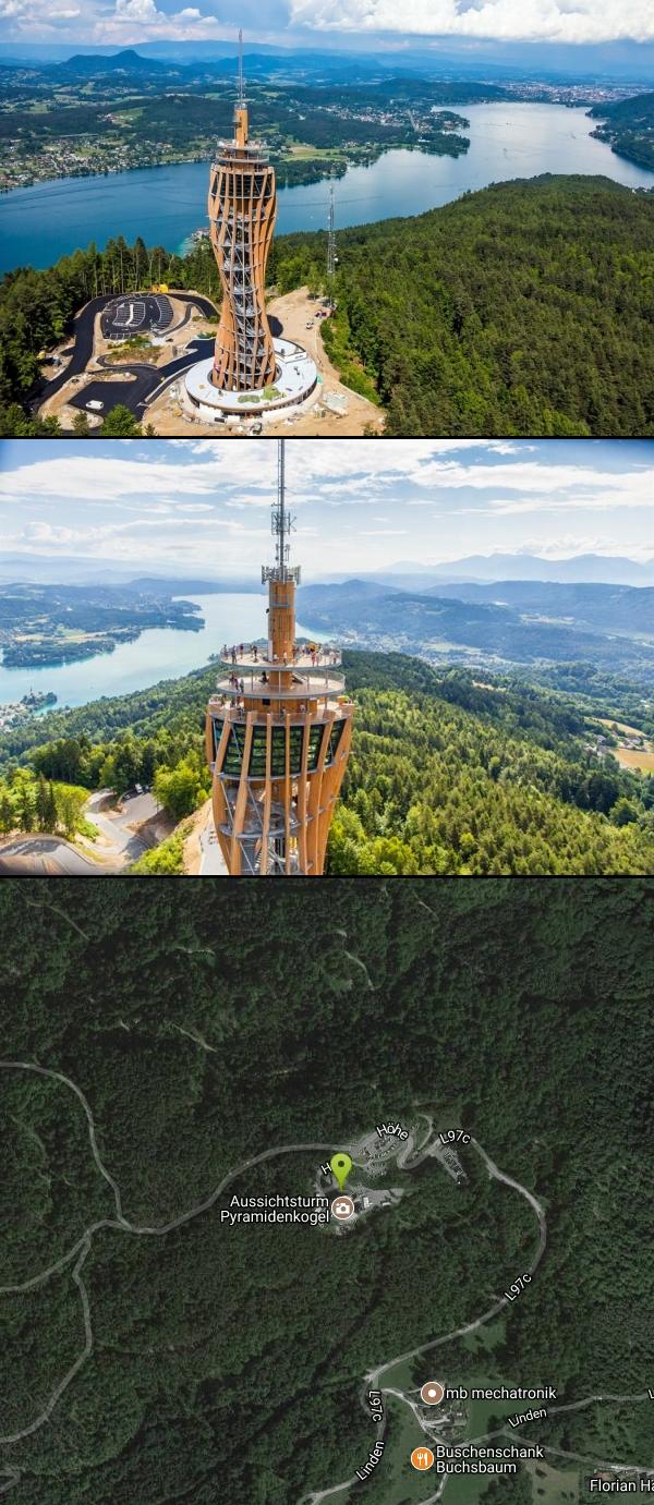
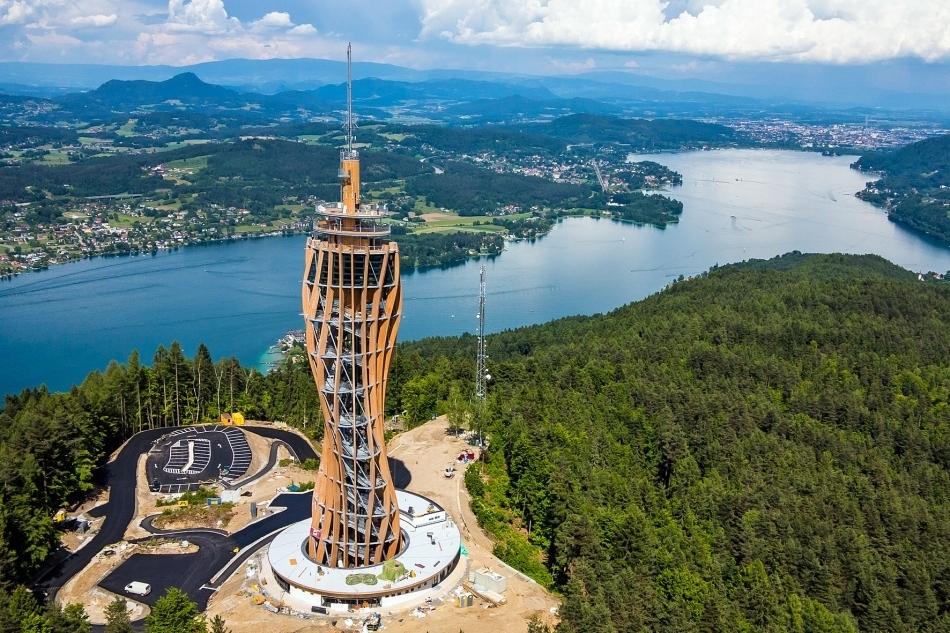
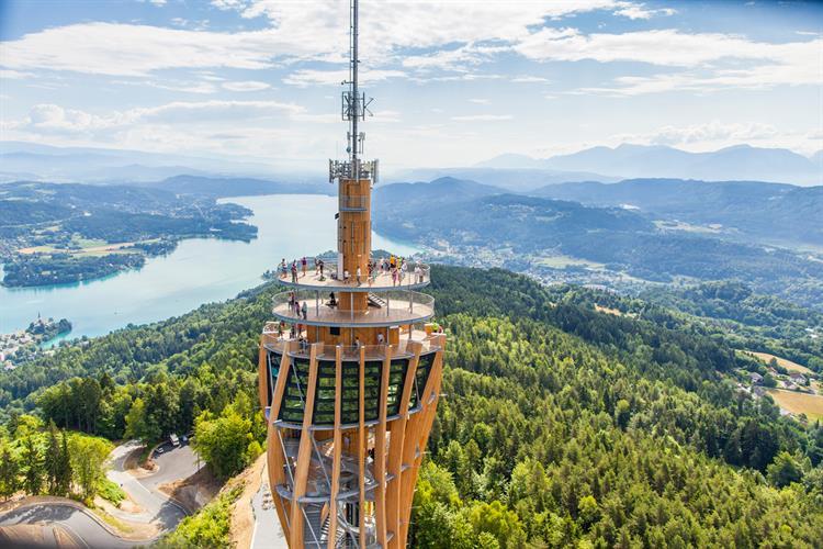
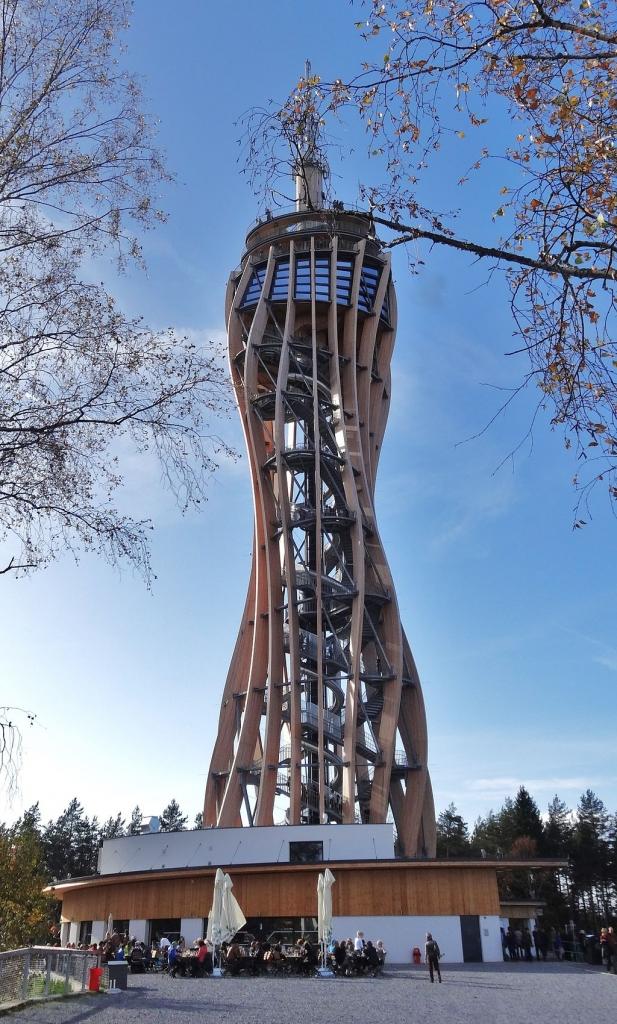
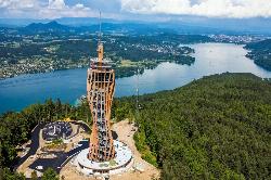
Pyramidenkogel is an 851-metre (2,792 ft) high mountain in Carinthia, Austria. It is located to the south of the Wörthersee and near the town of Maria Wörth, in an area that is a boundary between speakers of German and Slovenian. In nearby Slovenia the mountain is known as Jedvovca. The mountain has been a tourist attraction since at least the late 19th century. The mountain has a tower which is built of wood and steel, and with a height of 100 metres it is the tallest wooden observation tower in the world. The tower is open first of March to 31 October daily.
More Information
Aussichtsturm Pyramidenkogel – ein Top-Ausflugsziel Kärntens
Der Pyramidenkogel in Keutschach am Wörthersee ist mit seinen 100 m Höhe der höchste Holzaussichtsturm der Welt. Besondere Attraktion: Die 120 m lange Rutsche.
https://pyramidenkogel.info/Be courteous, informed, and prepared. Read trailhead guidelines, stay on the trail, and don't feed the wildlife.
Read More
- Plan Ahead and Prepare
- Travel & camp on durable surfaces
- Dispose of waste properly
- Leave what you find
- Minimize campfire impacts
- Respect wildlife
- Be considerate of other visitors
Directions
From Höhe, Kärnten
- Head southeast on Schwamberg toward Mautbrücken (0.7 km)
- Merge onto Mautbrücken (0.2 km)
- Turn right onto B94 (0.1 km)
- Turn right onto Mautbrücken (0.3 km)
- Continue onto L70a (1.2 km)
- Continue onto Glantscha/L70a (0.6 km)
- Continue onto Glanegg (0.9 km)
- Continue onto Flatschacher Landesstraße (1.9 km)
- Continue onto Faninger Str. (1.2 km)
- Turn left to stay on Faninger Str. (2.8 km)
- Turn right onto Glantalstraße (2.1 km)
- Turn left onto Golkerweg/B95Continue to follow B95(1.5 km)
- Turn left onto Klagenfurter Schnellstraße/S37Partial toll road(0.3 km)
- Turn left onto the A2 ramp to VillachToll road(0.4 km)
- Merge onto Süd Autobahn/E66Toll road(5.1 km)
- Take the exit toward Klagenfurt-West/Slowenien/Italien/ZentrumToll road(1.1 km)
- Continue onto Süd Autobahn/E66Toll road(1.1 km)
- Take exit Klagenfurt-Wörthersee toward Wien/Flughafen Graz/B83/Wörthersee/Slowenien/Loiblpass/Graz (0.4 km)
- Continue onto Südring (1.4 km)
- Turn right onto Wörthersee-Südufer-Straße (6.7 km)
- Turn left onto Seenstraße (2.2 km)
- Seenstraße turns slightly left and becomes L97b (0.2 km)
- At the roundabout, take the 1st exit onto Plaschischen (0.3 km)
- At the roundabout, take the 1st exit and stay on Plaschischen (1.2 km)
- Continue onto Linden (2.2 km)
- Keep left to continue on L97c (0.7 km)
- Continue onto Höhe (0.2 km)
- Turn leftDestination will be on the left(40 m)
The mountain is located at Linden 62.