


Queens Canyon Punchbowls
Colorado Springs, Colorado
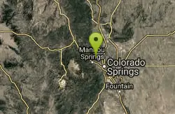
| GPS: |
38°53'35.5"N 104°53'12.8"W Maps | Directions |
| State: | Colorado |
Swim
More Information

- Plan Ahead and Prepare
- Travel & camp on durable surfaces
- Dispose of waste properly
- Leave what you find
- Minimize campfire impacts
- Respect wildlife
- Be considerate of other visitors
Directions
From Colorado Springs, Colorado
- Head northwest on Pikes Peak Ave toward S Nevada Ave (59 ft)
- Turn right at the 1st cross street onto N Nevada Ave (0.2 mi)
- Turn left onto E Bijou St (0.3 mi)
- Keep right to continue on W Bijou St (0.1 mi)
- Turn right to merge onto I-25 N (0.8 mi)
- Take exit 143 for Uintah Street (0.2 mi)
- Turn left onto W Uintah St (0.4 mi)
- Turn right onto Mesa Rd (2.6 mi)
- At the traffic circle, continue straight to stay on Mesa Rd (0.8 mi)
- Slight left to stay on Mesa Rd (308 ft)
- Slight right onto N 30th St (0.2 mi)
- Turn left (220 ft)
- Turn left (0.5 mi)
- Turn left (338 ft)
- Turn left (0.3 mi)
- Continue straight (0.1 mi)
- Turn left (125 ft)
- Turn right (180 ft)
to add photos & videos and suggest edits
Edit Review
Delete Review
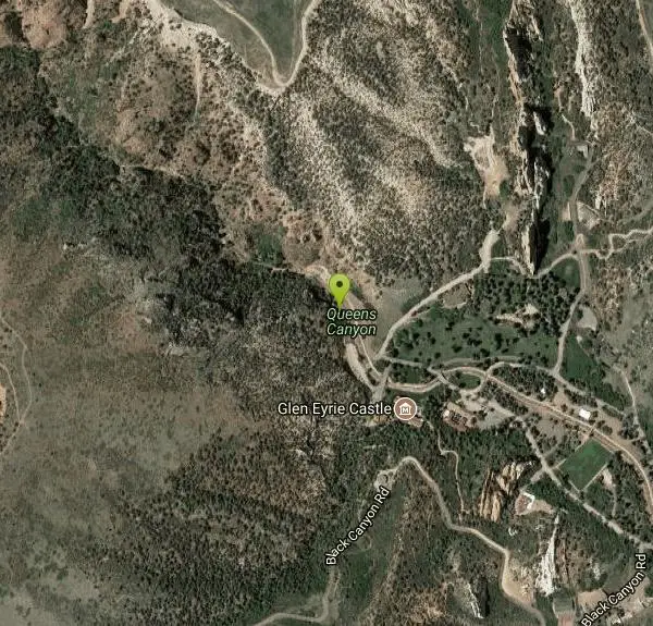
Other Swimming Holes Nearby
Add Location
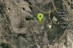
Guffey Gorge
Guffey, Colorado
25.6 miles WA spring-fed swimming hole bordered by granite boulders and 100-foot cliffs near Guffey — also called Paradise Cove, now with a $6/vehicle day fee, dumpsters, bathrooms, and BLM oversight.
Swim
Kestrel Pond
Pueblo
43.9 miles SKestrel Pond is the quiet-water pond in the Rock Canyon area of Lake Pueblo State Park, below Pueblo Dam, open to swimming, paddleboarding, kayaking and canoeing but closed to motors and fishing. It replaced the old Rock Canyon Swim Beach in 2024, which e
Camp, Canoe, Hike, Kayak, Swim


