


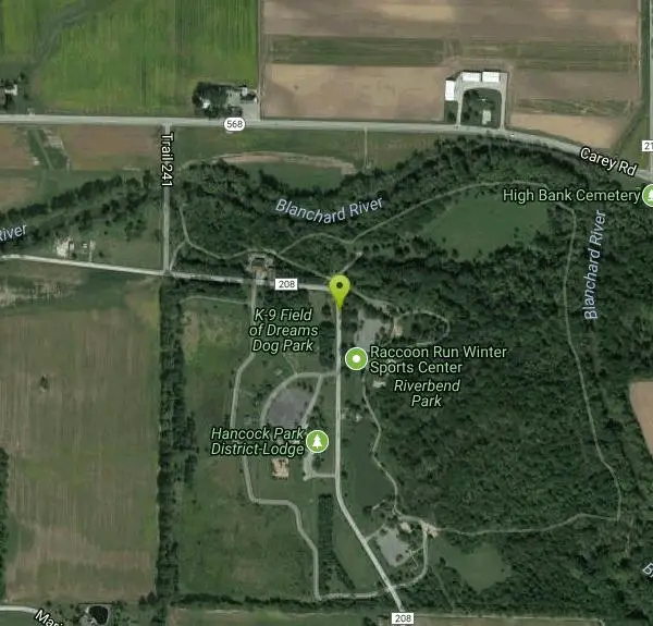
Riverbend Disc Golf Trail
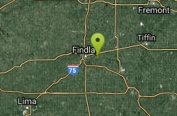
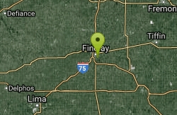
Findlay, Ohio
| Address: | 9602 Township Hwy 208, Findlay, OH |
| GPS: |
41°1'59.7"N 83°33'38.6"W Maps | Directions |
| State: | Ohio |
| Disc Golf Holes: | 18 |
| Disc Golf Course Length: | 5049 feet |
| Disc Golf Tee Type: | Concrete |
| Disc Golf Target Type: | DISCatcher |
Disc Golf
1.8 mile disc golf 'trail' through the forest and fields along the Blanchard River - historical setting for the song 'Down By The Old Mill Stream'. Shelters, lake and campgrounds. Player contact: Mike Reed: <a href='mailto:reed@findlay.edu'>reed@findlay.edu</a>, (419) 425-4002. Public (No Fee)Courtesy of DiscGolfUnited.com
More Information
Add Resource- Plan Ahead and Prepare
- Travel & camp on durable surfaces
- Dispose of waste properly
- Leave what you find
- Minimize campfire impacts
- Respect wildlife
- Be considerate of other visitors
Directions
From Findlay, Ohio
- Head east on Center St toward Clinton St (0.3 mi)
- Continue onto Tiffin Ave (0.2 mi)
- Turn right onto N Blanchard St (492 ft)
- Continue straight to stay on N Blanchard St (0.5 mi)
- Turn left onto E Sandusky St (1.5 mi)
- Continue onto OH-568 E/Carey Rd (2.5 mi)
- Turn right onto Trail 241 (0.2 mi)
- Turn left onto Marion Township 208 (0.2 mi)
5 miles east of Findlay off St. Rte. 568 via Marion Twp. Rd. 241 and 208. In the Riverbend Recreation Area near the Findlay Reservoirs.Courtesy of DiscGolfUnited.com
Other Folf Courses Nearby
Firestine Park
Findlay, Ohio
4.0 miles WFlat terrain with a variety of trees. Interesting challenges presented by the final four baskets which border Eagle Creek. Public (No Fee)
Disc Golf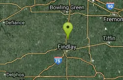
Van Buren State Park Disc Golf Course
Van Buren, Ohio
8.4 miles NWLaid out along scenic views of Van Buren Lake. Course flows nicely with only a short walk between most holes. A variety of OBs and shot shapes add challenge. Public (No Fee)
Disc Golf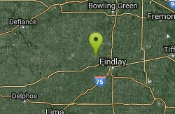
Panther 335 Disc Golf Course
McComb, Ohio
12.7 miles NWShortish open course nestled between 2 reservoirs. Public (No Fee)
Disc Golf
Upper Sandusky Reservoir Disc Golf Course
Upper Sandusky, Ohio
21.1 miles SEMix of woods and open. Some elevation. Floods occasionally with debris throughout. Be sure to carry insect repellant in summer. Redesigned for the 2010 Am Worlds by Chuck Kennedy. Public (No Fee)
Disc Golf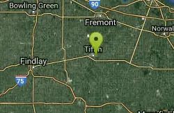
Rock Creek Run at Hedges Boyer Park
Tiffin, Ohio
21.4 miles EMostly open with mature trees in an 80 acre park. Some wooded holes and elevation changes throughout. Alt. tees play 6,7,5. One of the courses used in the 2010 PDGA Amateur World Championship. Fun...
Disc Golf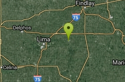
Ohio Northern University
Ada, Ohio
23.1 miles SWBeautiful. Mostly open - a couple holes in the woods. Several ponds in play - sidewalks and roads OB. Wind, water, excellent groundskeeping, and the small college atmosphere is very inviting. Public...
Disc Golf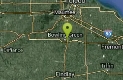
Carter Park
Bowling Green, Ohio
23.4 miles NBegins in the open by the water tower, gradually moving to semi-wooded holes, and finishes in the open. Well manicured with apple trees lining the fairways. Added contact; Mike Michalak 734-735-0604....
Disc Golf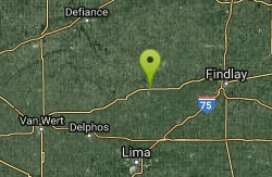
Ottawa Memorial Park Disc Golf Course
Ottawa, Ohio
24.9 miles WStarts in thick woods with bordering OB creek. Lots of low ceilings, roller opportunities, and technicial shots. Back 9 more open with some elevation. Alt. contact; Ken Rollins <a...
Disc Golf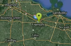
Walsh Park Disc Golf Course
Fremont, Ohio
31.5 miles NEScenic course on the Sandusky River. Open and tight fairways and elevation. Water hazard on #13 & 14. Increased from 9 to 18 holes in 2016. Public (No Fee)
Disc Golf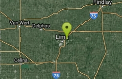
Ottawa Park at Lima
Lima, Ohio
32.0 miles SWBegins and ends in an open meadow. Holes 2 - 8 through thick woods. Back 9 much more open with a water hazard. Public (No Fee)
Disc Golf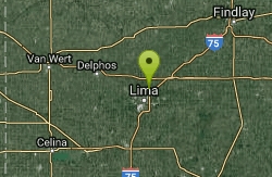
Ottawa Metro Park
Lima, Ohio
32.1 miles SWBegins and ends in an open meadow. Holes 2 - 8 through thick woods. Public (No Fee)
Disc Golf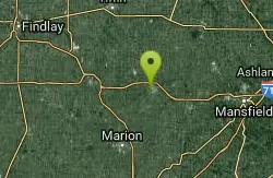
Aumiller Park Disc Golf Course
Bucyrus, Ohio
33.8 miles SE10th tee left of shelter #21. Front 9 plays through dense woods while the longer back 9 plays through large mature trees. Sandusky River comes into play on 3 holes. Alt. tees play 5, 6, 7. One of six...
Disc Golf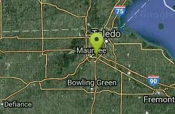
Woodlands Park
Perrysburg, Ohio
36.6 miles NMostly open - sparsely wooded on very few holes. The course wraps around the playground along Rte. 795 and E. Boundary next to the church on Boundary. Public (No Fee)
Disc Golf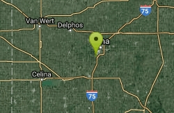
Fort Shawnee DG Course
Lima, Ohio
38.7 miles SWShort, great for kids, beginners and casual players. Dual tees make 18. Don't go. The course hasn't been taken care of and is completely covered in weeds. Public (No Fee)
Disc Golf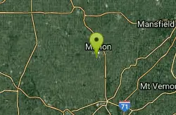
The Sanatorium at Sawyer Ludwig Park
Marion, Ohio
39.1 miles SEFront 9 mostly open with mature trees throughout. Back 9 carved through thick woods. Alt. tees play, 6, 6, 6. Public (No Fee)
Disc Golf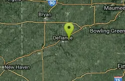
Independence Dam
Defiance, Ohio
42.0 miles NWThe Maumee River on the right, and the Miami-Erie Canal on the left. Public (No Fee)
Disc Golf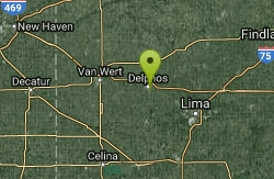
Leisure Park Disc Golf Course
Delphos, Ohio
42.6 miles WShort course in a well maintained park. Public (No Fee)
Disc Golf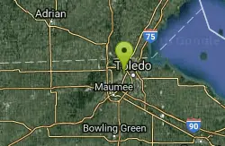
Ottawa Park
Toledo, Ohio
43.6 miles NScenic city course with mature trees on most holes. Fairly challenging, well-kept and close to everything. Not well marked - tough to navigate. Doubles, Fri. 6pm from Apr. - Oct. Added contact; Mike...
Disc Golf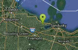
Lake Erie Islands Resort
Port Clinton, Ohio
43.6 miles NEOn a previous ball golf course. 3 OB ponds, OB roads, and OB sand traps come in play. A beautiful setting - in a resort community - camp grounds, cottages, and hotels. On a marina with access to Lake...
Disc Golf
Dorr Street Elementary
Toledo, Ohio
43.7 miles NDesigned for young players in the community. It plays around the school and the athletic fields - encouraging a variety of throws at lengths scaled down for elementary school students. A competent...
Disc Golf


