


Roque Bluffs State Park
Roque Bluffs
Canoe, Hike, Kayak, and Swim
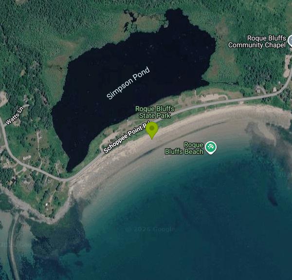
Roque Bluffs State Park is a 274-acre day-use park on Schoppee Point in the town of Roque Bluffs, Washington County, run by the Maine Bureau of Parks and Lands (Department of Agriculture, Conservation and Forestry). It was established in 1969. The park's main draw is a half-mile crescent of sand and pebbles facing Englishman Bay, and directly behind it, across the park road, sits 60-acre Simpson Pond. That layout lets you choose between a cold saltwater swim and a much warmer freshwater dip a few minutes' walk apart, which is rare on this rocky stretch of the Down East coast.
The park is roughly eight miles south of Machias. From US Route 1, follow the state park signs onto Roque Bluffs Road for about six miles, then turn onto Schoppee Point Road; the park address is 145 Schoppee Point Road. There are two parking areas. The second lot puts you right between the pond and the bay, with picnic areas and a children's play area beside it. The main area is gated at night, and there is no drinking water on site, so bring your own.
The ocean beach is a mix of sand and pebbles on Englishman Bay, with bedrock outcrops at the eastern end. Water here stays cold all summer, usually in the mid-50s, so most people go in for short, bracing swims. Simpson Pond is shallow and warms up far more than the bay does. There are no lifeguards at either spot. Anglers sometimes fish from the ocean beach, so give them room, and they are asked to watch for swimmers.
Day-use fees are charged per person: $4 for Maine resident adults, $6 for nonresident adults, $2 for nonresident seniors, $1 for children 5 to 11, and free for children under 5 and Maine residents 65 and older. Payment is cash or check only, dropped in the self-service collection canister, and annual Maine park passes are honored. The park is open 9 a.m. to sunset daily from May 15 to October 1. Outside that season you can park outside the gate, without blocking it, and walk in during the same hours, but facilities are closed.
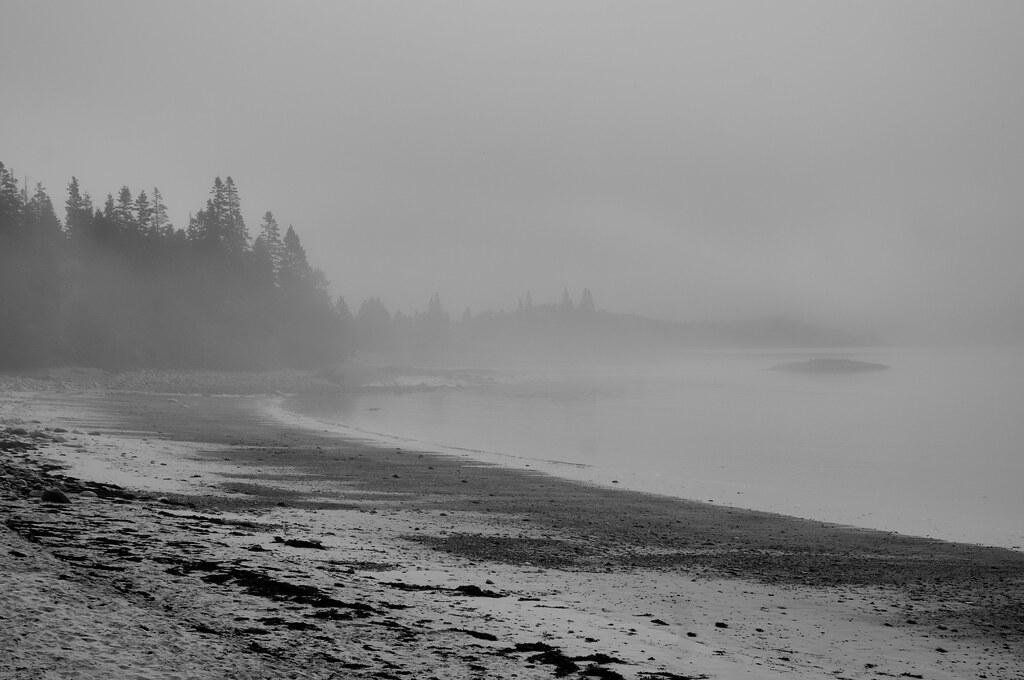
Dogs are not allowed on the ocean beach at any time; elsewhere in the park they must be on a leash no longer than four feet. Fog can roll in quickly here, even on summer afternoons, and wind can pick up across the bay. Paddlers can launch from the beach, but the state recommends only experienced sea kayakers head out into Englishman Bay, and the nearby islands are not state land, so landing on them is not guaranteed.
Beyond the water, about six miles of trails (Houghton's Hill, Mihill, Pond Cove and Starr among them) wind through old orchards, meadows, woods and along rocky bluffs. At the eastern end of the beach, a bedrock outcrop of ancient lava flows shows glacial grooves cut as ice moved southeast, and the park is Stop 29 on the University of Maine's Ice Age Trail. Simpson Pond is also open to fishing and calm enough for canoes.
More Information
Be courteous, informed, and prepared. Read trailhead guidelines, stay on the trail, and don't feed the wildlife.
Read More
- Plan Ahead and Prepare
- Travel & camp on durable surfaces
- Dispose of waste properly
- Leave what you find
- Minimize campfire impacts
- Respect wildlife
- Be considerate of other visitors
Directions
From Roque Bluffs
- Head north on Johnson Cove Rd toward Roque Bluffs Rd (194 ft)
- Sharp left onto Schoppee Point RdDestination will be on the left(0.4 mi)
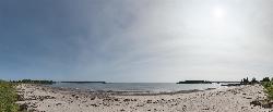
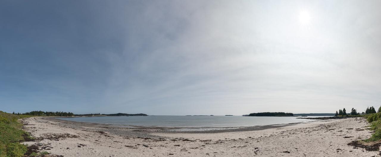
 Panorama of the crescent sand and pebble beach on Englishman Bay at Roque Bluffs State Park. courtesy of Giorgio Galeotti↗ (CC BY-SA 4.0↗)
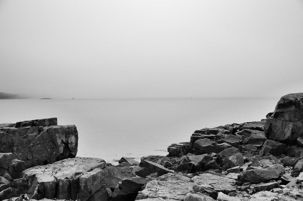
 Fog over the swim beach and Englishman Bay at Roque Bluffs State Park. courtesy of KimCarpenter NJ↗ (CC BY 2.0↗)
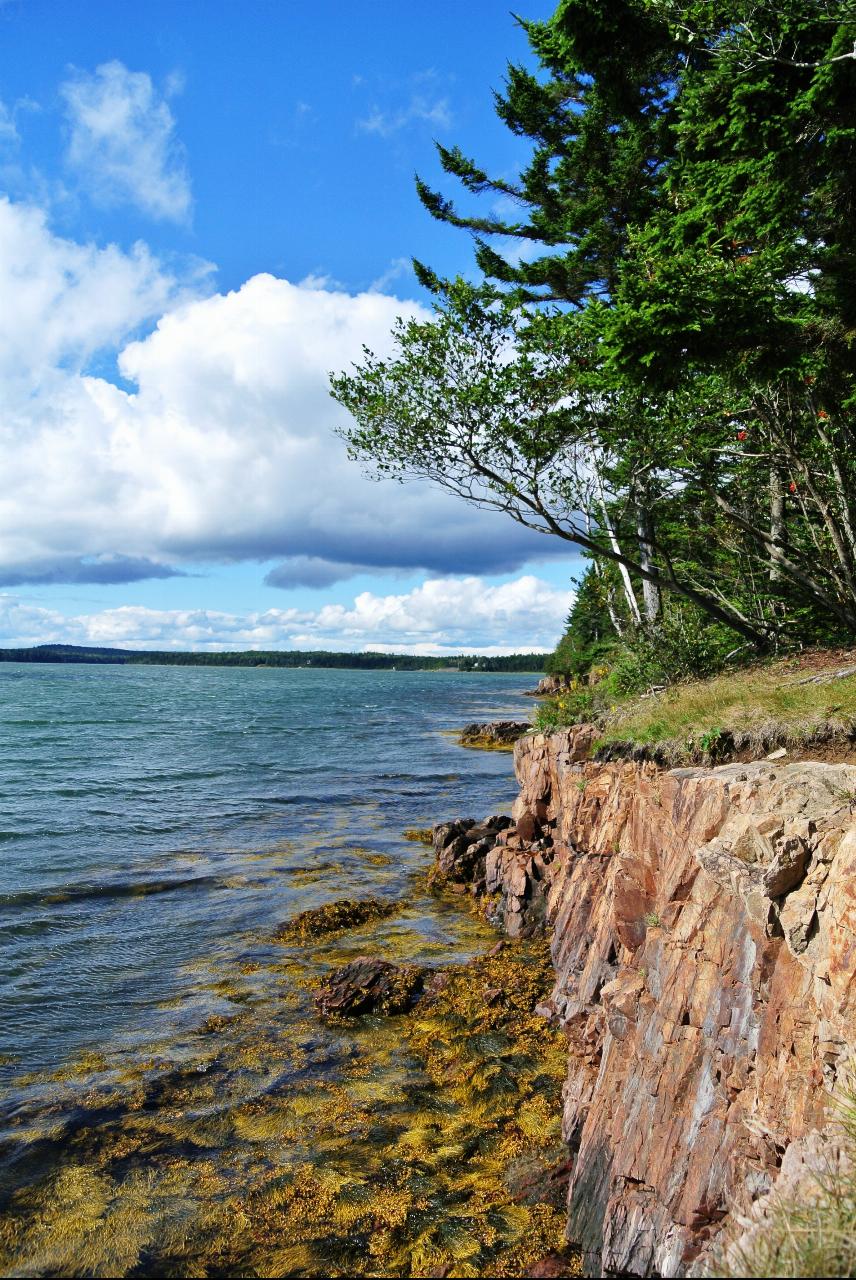
 Rocky bluffs and seaweed-covered ledges along the park's shoreline. courtesy of due_mele from Nomads of Earth↗ (CC BY 2.0↗)
 Bedrock ledges at the water's edge in Roque Bluffs State Park on a foggy day. courtesy of KimCarpenter NJ↗ (CC BY 2.0↗)

Other Swimming Holes, Hiking Trails, Canoeing Areas, and Kayaking Areas Nearby
Precipice Trail (Acadia National Park)
Bar Harbor, Maine
39.1 miles SWThe most challenging and well-known trail in Acadia National Park — an exposed, nearly vertical 1,000-foot climb up Champlain Mountain designated strenuous and recommended for experienced, fit hikers only.
Hike 0.6 mi
Sand Beach
Bar Harbor, Maine
39.5 miles SWA small 290-yard beach at Acadia National Park nestled between mountains and rocky shores, with ocean temps rarely above 55°F and nearby trails to cliffs and mountains from the parking lot.
Swim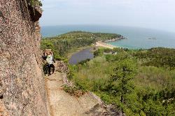
Beehive Trail
Bar Harbor, Maine
39.5 miles SWIron rungs bolted into steep coastal cliffs above Sand Beach and the Gulf of Maine make this the most thrilling — and vertigo-inducing — hike in Acadia.
Hike 2.0 mi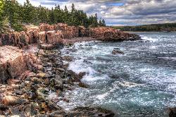
Ocean Path
Bar Harbor, Maine
39.5 miles SWA leisurely coastal hike past Otter Cliff, the Thunder Hole sea cave, and low-tide pools teeming with crabs, whelks, and anemones along Acadia's rocky Maine shoreline.
Hike
Cadillac Mountain Summit Path
Bar Harbor, Maine
40.6 miles SWHike or drive to the 1,530-foot summit of Cadillac Mountain — Acadia's highest peak and often the first spot in the U.S. to catch the sunrise — for views of Bar Harbor and Frenchman Bay.
Hike
Lakewood
Bar Harbor, Maine
41.0 miles WSwim near Bar Harbor, Maine
Swim
Jordan Pond Nature Trail (Acadia National Park)
Mount Desert, Maine
42.9 miles SWAn easy 1-mile loop through the woods and along the serene shore of Jordan Pond, starting from the North Parking Area in Acadia National Park.
Canoe, Hike
Echo Lake Beach
Southwest Harbor
46.7 miles SWEcho Lake Beach is Acadia National Park's sandy freshwater swimming beach on Mount Desert Island, below Beech Cliff. An Acadia entrance pass ($35 per vehicle for 7 days) is required to park, and there's no lifeguard.
Canoe, Hike, Kayak, Swim


