


Santa Rosa Park Lake
Santa Rosa, New Mexico
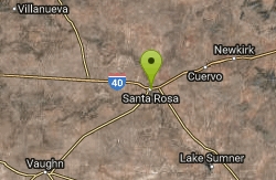
| GPS: |
34°56'29.4"N 104°40'40.9"W Maps | Directions |
| State: | New Mexico |
Canoe and Swim
This reservoir on the plains of eastern New Mexico offers fishing, boating, camping and hiking, as well as abundant bird watching opportunities. Equestrians are welcome at the Los Tanos Campground.
More Information
Santa Rosa Lake State Park - State Parks
To position New Mexico as a national leader in the energy and natural resources areas for which the Department is responsible.
https://www.emnrd.nm.gov/spd/find-a-park/santa-rosa-lake-state-park/
- Plan Ahead and Prepare
- Travel & camp on durable surfaces
- Dispose of waste properly
- Leave what you find
- Minimize campfire impacts
- Respect wildlife
- Be considerate of other visitors
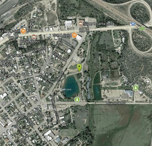
Directions
From Santa Rosa, New Mexico
- Head northeast on Lake Dr toward S 6th St (331 ft)
- Slight right toward Blue Hole Rd (148 ft)
- Continue onto Blue Hole Rd (0.2 mi)
- Turn left (75 ft)
- Turn right (0.2 mi)
- Turn leftDestination will be on the left(82 ft)
Located at NM Highway 91 Santa Rosa, NM 88435
to add photos & videos and suggest edits
Edit Review
Delete Review
Other Swimming Holes and Canoeing Areas Nearby
Add Location
Santa Rosa
Santa Rosa, New Mexico
0.1 miles SWSwim near Santa Rosa, New Mexico
Swim
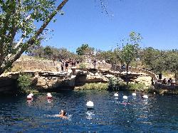
Blue Hole - New Mexico
Santa Rosa, New Mexico
0.3 miles EA crystal-clear 64°F artesian SCUBA diving pool in New Mexico — circular on the surface, expanding to 130 feet wide at the bottom, with 3,000 gallons per minute of inflow and a dive permit required.
Swim


