


Seven Points Beach
Hesston
Camp, Canoe, Hike, Kayak, and Swim
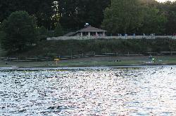
Seven Points Beach is the main public swim beach at Raystown Lake, the 8,300-acre U.S. Army Corps of Engineers reservoir on the Raystown Branch of the Juniata River in Huntingdon County. It sits inside the Corps' Seven Points Recreation Area, on a cove just south of Seven Points Marina, with wooded ridges rising across the water. The lake has one other public beach, Tatman Run, farther south on the eastern shore.
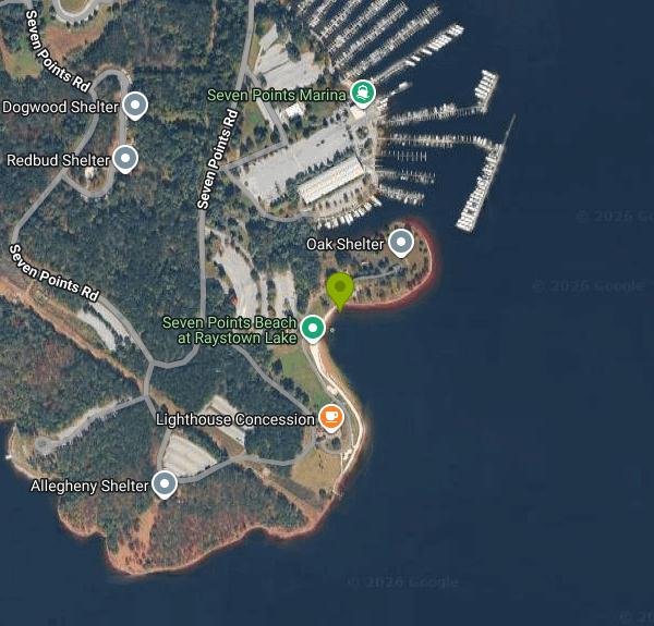
The recreation area is at the end of Seven Points Road near Hesston, about four miles southeast of the village. The Corps project office uses the address 6145 Seven Points Road, and the Raystown Lake Visitor Center is a short walk north of the beach. Follow the signs to the beach parking lot, which is a short walk from the sand. The Greenside Pathway, a 2.5-mile loop paved with recycled tires, ties the campground loops, visitor center, marina and beach together, so campers can walk or bike over without using the road. Don't plan on parking at the public boat launch instead: on weekends and holidays between Memorial Day and Labor Day, that lot is closed to cars without trailers.
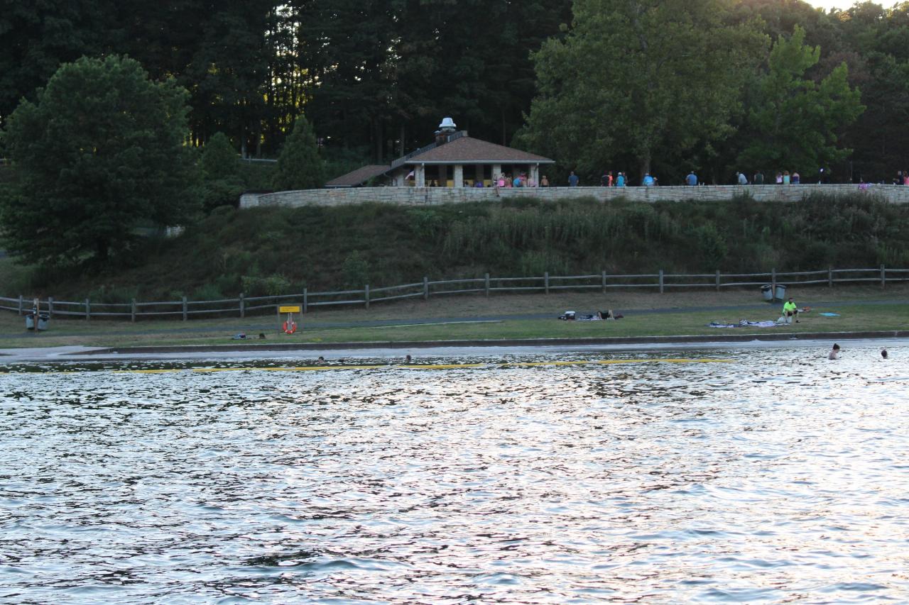
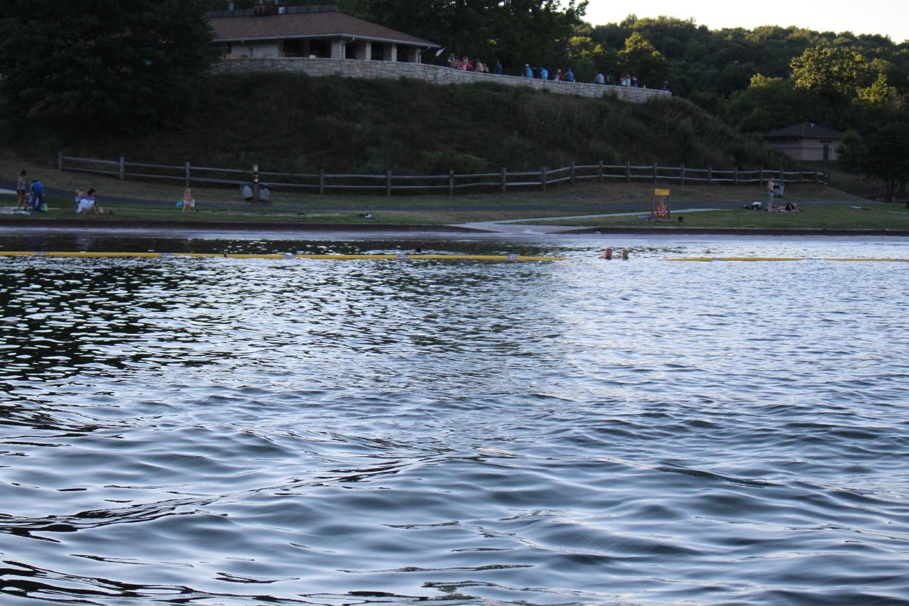
The swim area comes in two parts. The larger section has a concrete bottom, and a smaller sand-bottom cove, often called the kiddie beach, gives young children shallow, gradual water. Buoy lines mark the swim zone; stay inside them and don't sit or play on the lines. There are no lifeguards. Life rings are posted, and everyone swims at their own risk. Strips of sand and sandboxes flank the water, and grassy slopes with some shade climb toward the picnic shelters.
There is no charge to swim. The Corps states that Raystown has no park entrance fees, so the beach, parking and the rest of the day-use area are free. Picnic shelters can be reserved for a fee through Recreation.gov. The beach is open daily from 10 AM to 8 PM, Memorial Day weekend through Labor Day weekend, and swimmers must stay out of the water when it is closed. As of October 2026 the beach is out of season until next Memorial Day weekend.
Pets are not allowed on the beach or the grass around it, and glass containers are banned. The Corps inspects the beaches and samples the water weekly. In June 2025 high E. coli counts after heavy rain briefly closed Tatman Run Beach, so check the beach bulletin board for postings after a storm. Starting with the 2026 season Raystown went to a pack-it-in, pack-it-out policy and removed dumpsters from most day-use areas, though the Corps listed Seven Points Beach among the spots that keep them. In 2025 staffing cuts closed the Seven Points Campground for most of the summer, but the beaches and other day-use areas stayed open.
In summer the Lighthouse concession stand sells food beside a changing house with showers and restrooms, and water trampolines sit just offshore. Raystown Rentals, run by Rothrock Outfitters, rents canoes, kayaks and paddleboards near the trampolines Friday through Monday. Oak Shelter stands on the peninsula next to the beach, and the rest of Seven Points has playgrounds, two disc golf courses, a mountain bike skills park, the Allegrippis Trails, a large campground and the marina with its restaurant and houseboat rentals. Rangers run free weekend programs at the beaches in summer, including a yearly Glow Swim.
More Information
Be courteous, informed, and prepared. Read trailhead guidelines, stay on the trail, and don't feed the wildlife.
Read More
- Plan Ahead and Prepare
- Travel & camp on durable surfaces
- Dispose of waste properly
- Leave what you find
- Minimize campfire impacts
- Respect wildlife
- Be considerate of other visitors
Directions
From Hesston
- Head southeast on Hesston Rd/
S Old U.s. 81 toward N Weaver Ave (0.1 mi) - Slight left onto E Randall St (0.2 mi)
- Turn right onto N Ridge Rd (30 ft)
- Turn left onto E Randall St (0.8 mi)
- Turn right onto E Lincoln Blvd (0.6 mi)
- Continue onto W Dutch Ave (3.5 mi)
- Turn right onto KS-15 S (2.0 mi)
- Turn left onto NE 60th St/
W Grant St Continue to follow NE 60th St(4.4 mi) - Continue onto W Grant St (0.4 mi)
- Slight left onto US-50 E (20.8 mi)
- At the traffic circle, take the 3rd exit and stay on US-50 E (42.8 mi)
- At the traffic circle, take the 3rd exit (0.2 mi)
- Take the ramp onto I-35 N (94.7 mi)
- Take exit 222A to merge onto I-435 EEntering Missouri(11.3 mi)
- Continue straight onto I-470 E/
US-50 E (signs for Lee's Summit/ I-49 S/ US-71 S/ Grandview/ Joplin) (0.6 mi) - Keep left to stay on I-470 E/
US-50 E, follow signs for Lee's Summit Continue to follow I-470 E(15.9 mi) - Take exit 16B to merge onto I-70 E toward St Louis (114 mi)
- Slight right toward Interstate 70 Dr SE (0.1 mi)
- Merge onto Interstate 70 Dr SE (0.1 mi)
- Keep left (0.1 mi)
- Merge onto I-70 E (102 mi)
- Take exit 232-232B to merge onto I-270 N toward ChicagoEntering Illinois(30.4 mi)
- Keep left to continue on I-70 E (83.1 mi)
- Keep right to stay on I-70 E, follow signs for IndianapolisEntering Indiana(58.7 mi)
- Keep right to stay on I-70 E (79.5 mi)
- Keep left to stay on I-70 E, follow signs for Dayton/
I-65 N (1.7 mi) - Keep left to stay on I-70 E, follow signs for Dayton (5.9 mi)
- Keep left to stay on I-70 E (59.5 mi)
- Slight left (4.3 mi)
- Merge onto I-70 EEntering Ohio(50.6 mi)
- Keep left to stay on I-70 E (49.1 mi)
- Keep right to stay on I-70 E, follow signs for ColumbusParts of this road may be closed at certain times or days(4.5 mi)
- Continue onto Exit 101BParts of this road may be closed at certain times or days(0.2 mi)
- Keep left, follow signs for I-70 E/
Wheeling (0.9 mi) - Continue onto I-70 E (118 mi)
- Slight right onto I-470 E (signs for Bellaire/
Washington, PA) Entering West Virginia(10.7 mi) - Merge onto I-70 EEntering Pennsylvania(46.8 mi)
- Keep left to stay on I-70 E (11.1 mi)
- Keep left to stay on I-70 E (8.7 mi)
- Take exit 58 to merge onto I-70 E/
I-76 E toward Harrisburg Toll road(71.4 mi) - Take exit 146 toward Business 220 NToll road(0.5 mi)
- Turn left onto Business 220 N (0.3 mi)
- Turn left onto the I-99/
US-220 ramp to US-30/ Cumberland/ Altoona (0.2 mi) - Merge onto I-99 N/
US-220 N via the ramp to Altoona (14.7 mi) - Take exit 15 toward Claysburg/
King (0.3 mi) - Turn right onto Sproul Mountain Rd (3.1 mi)
- Turn left onto PA-867 N (338 ft)
- Turn right onto Cross Cove Rd (5.1 mi)
- Turn left onto S Market St (0.7 mi)
- Turn right onto PA-164 E/
E Allegheny St Continue to follow PA-164 E(6.9 mi) - Turn left onto PA-26 N/
Raystown Rd (13.9 mi) - Turn right onto Seven Points Rd (3.1 mi)
- Continue straight to stay on Seven Points Rd (2.1 mi)
- Turn right (167 ft)
- Turn left (69 ft)
- Turn right (226 ft)
- Turn right (171 ft)
- Turn rightDestination will be on the right(92 ft)



Other Swimming Holes, Hiking Trails, Canoeing Areas, and Kayaking Areas Nearby
Trough Creek Area
Tionesta, Pennsylvania
7.1 miles SWSwim near Tionesta, Pennsylvania
Swim
Greenwood Furnace State Park
Huntingdon, Pennsylvania
25.1 miles NESwim near Huntingdon, Pennsylvania
Swim
Conococheague Creek
Chambersburg, Pennsylvania
37.2 miles SESwim near Chambersburg, Pennsylvania
Swim
Black Moshannon State Park
Philipsburg
37.4 miles NA free, unguarded sand beach on the tea colored water of 250 acre Black Moshannon Lake, high on the Allegheny Plateau east of Philipsburg. Open mid-May to mid-September, swim at your own risk, with the color coming from the surrounding sphagnum bog rather
Camp, Canoe, Hike, Kayak, Swim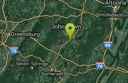
Davidsville
Windber, Pennsylvania
43.8 miles WSwim near Windber, Pennsylvania
Swim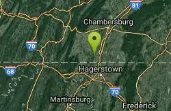
Martins Mill Bridge
Greencastle, Pennsylvania
45.0 miles SSwim near Greencastle, Pennsylvania
Swim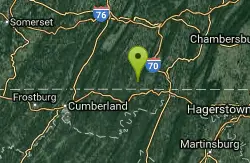
Four Quarters Farm
Artemas, Pennsylvania
45.5 miles SA private interfaith campground with pristine swimming holes in a creek — open to guests of members, with summer festivals open to the public and very optional attire in and around the water.
Swim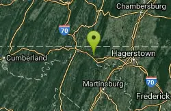
Camp Harding Park
Big Pool, Maryland
48.8 miles SSwim near Big Pool, Maryland
Swim


