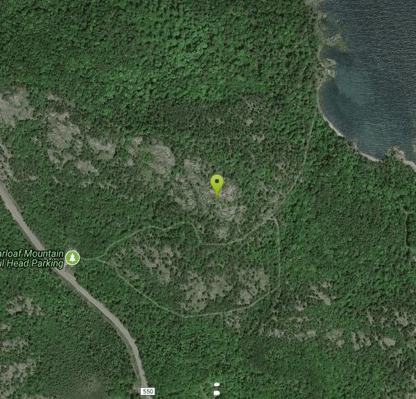
Sugarloaf Mountain, Marquette, MI, USA
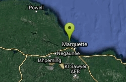
Marquette, Michigan
| Address: | Sugarloaf Mountain, Marquette, MI 49855, USA |
| GPS: |
46°36'15.7"N 87°27'19.5"W Maps | Directions |
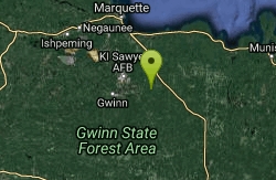
| State: | Michigan |
| Trail Type: | Point A to B |
| Hike Difficulty: | Beginner |
Lakes Trails Rocks Wildflowers Pet Friendly Paintball Permitted Skateboarding National Park
Backpack and Hike
This is an amazing hike in the Upper Peninsula! There is an easy option and a more difficult option and the view is amazing. Once you reach the top, there are three observation decks. One side is looking over Lake Superior, and the other is looking over the forest. It's a short hike that is well worth it. Watch out for ticks!
More Information
Add ResourceBe courteous, informed, and prepared. Read trailhead guidelines, stay on the trail, and don't feed the wildlife.
Read More- Plan Ahead and Prepare
- Travel & camp on durable surfaces
- Dispose of waste properly
- Leave what you find
- Minimize campfire impacts
- Respect wildlife
- Be considerate of other visitors
Directions
From Marquette, Michigan
- Head west on W Michigan St toward N 4th St (338 ft)
- Turn right at the 1st cross street onto N 4th St (0.4 mi)
- Continue onto Presque Isle AvePass by SUBWAY®Restaurants (on the right in 0.3 mi)(1.2 mi)
- Turn left onto Hawley St (0.5 mi)
- Continue onto Big Bay Rd (3.5 mi)
- Turn right (187 ft)
There's a smaller parking lot and a bigger parking lot, but neither fill up too quickly. Both are free.