


The Cove at Lake Lenape
Mays Landing
Swim
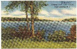
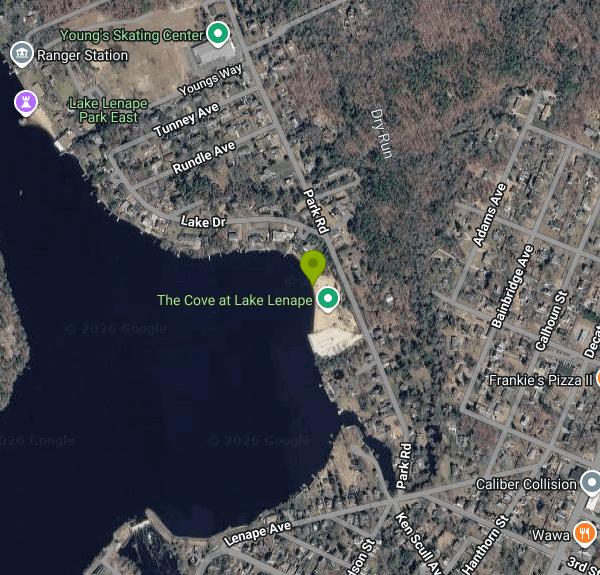
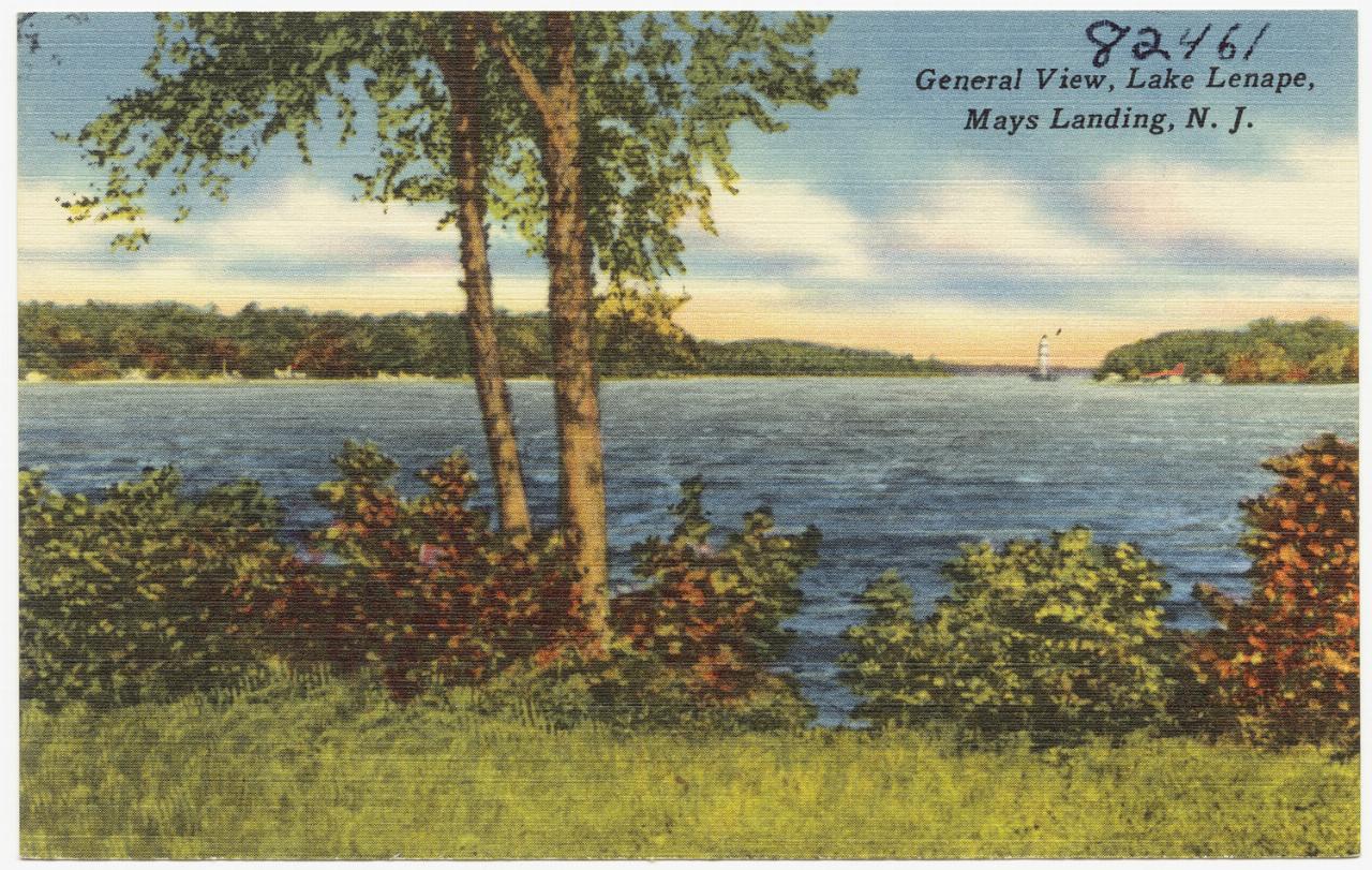
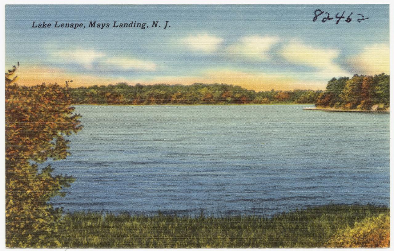
The Cove at Lake Lenape is Hamilton Township's municipal swimming beach in Mays Landing, Atlantic County. It sits on the east shore of Lake Lenape, a long impoundment of the Great Egg Harbor River held back by the Lake Lenape Dam at Mill Street, about a third of a mile southwest of the beach. The township code calls the facility the Cove Area: the beach, the water out to the safety rope, the parking area and the ground between the beach and Park Road.
The beach is on Park Road, a short drive north of the Main Street and Mill Street intersection in the old center of Mays Landing. Parking is in the township lot beside the beach, and the code limits parking to that lot and other designated spaces. Group outings of more than 25 people need a permit from the Township Administrator, and picnic packages (one table and one grill) can be reserved for $50 a day, paid at least 24 hours ahead.
The swim area is a sandy strip along the shoreline with a roped section in front of it. Like most Pinelands water, Lake Lenape is cedar water, stained the color of tea, so you will not see the bottom once you are past the shallows. Swimming is only allowed inside the designated beach area and only while lifeguards are on duty; outside guarded hours the water is closed. Inner tubes, rafts and pool toys are not allowed. The only flotation permitted is a properly sized, properly worn Coast Guard approved Type I, II or III life jacket. Boats, canoes and jet skis cannot launch from the beach or operate within 200 feet of the township shoreline, and alcohol and open fires are banned.
This is a fee beach. The season runs from late June to Labor Day, and the township flyer has listed hours of 11 a.m. to 6 p.m., Wednesday through Monday, closed Tuesdays. Daily wristbands are $10 on weekdays and $15 on weekends and holidays, cash only. A season tag is $30 if bought on or after May 1 ($25 through April 30 under the township code), and a family four pack is $100 when bought in one transaction. Children 11 and under get in free, as do veterans and active military with ID. Children under 12 must be with a responsible adult. Fees are the same for everyone; the township repealed its old residency requirement in 1994. Tags can be bought online through Hamilton Township Recreation and Youth Services, at Town Hall before opening day, and at the beach once the season starts. Call 609-625-2700 ext. 592 for current dates.
Lake water quality is the main thing to check before a trip. The beach has been closed in the past for a harmful algal bloom, and blooms can return in hot, still weather on any shallow South Jersey lake, so look for posted advisories at the gate. Outside the summer season the beach is unguarded and swimming is not allowed. Rates have gone up largely to cover lifeguard pay, and the township has said staffing drives what it can offer, so hours can change from one summer to the next.
Besides the beach there are picnic tables, grills and restrooms in the Cove Area. Atlantic County's Lake Lenape Park East and West sit elsewhere on the same lake for anyone who wants to see more of it, but The Cove is the designated swim beach.
More Information
Best swimming spots New Jersey 2026 lakes rivers summer
Explore New Jersey's top swimming spots beyond the beaches, featuring lakes and rivers perfect for family outings this summer.
https://nj1015.com/nj-lakes-rivers-swimming/Great Egg Harbor River - Wikipedia
.mw-parser-output .geo-default,.mw-parser-output .geo-dms,.mw-parser-output .geo-dec{display:inline}.mw-parser-output .geo-nondefault,.mw-parser-output .geo-multi-punct,.mw-parser-output .geo-inline-hidden{display:none}.mw-parser-output .longitude,.mw-parser-output .latitude{white-space:nowrap}39°18′15″N 74°38′59″W / 39.30417°N 74.64972°W / 39.30417; -74.64972
https://en.wikipedia.org/wiki/Great_Egg_Harbor_RiverSierra Club: Lake Hopatcong Algae Getting Worse Again - Insider NJ
Lake Hopatcong Algae Getting Worse Again According to NJDEP testing conducted on August 21, 2019, Hopatcong State Park Algae bloom levels increased to 45,000 cells/mL compared to last week’s count at 18,374 cells/mL. Word Port Bay also saw an increase at 60,250 cells/mL compared to last week’s count at 17,250 cells/mL. Algae levels at East[...]
https://www.insidernj.com/press-release/sierra-club-lake-hopatcong-algae-getting-worse/South Jersey's inland lakes not immune to price hikes
While thousands favor the region in summer for its seaside views, plenty find cedar water-filled lakes surrounded by trees to be the best spot when the weather gets hot.
https://pressofatlanticcity.com/news/local/article_02dc08ce-e84a-11ed-b385-8f1cf01dddb0.htmlWay: The Cove at Lake Lenape (1311860053) | OpenStreetMap
OpenStreetMap is a map of the world, created by people like you and free to use under an open license.
https://www.openstreetmap.org/way/1311860053
- Plan Ahead and Prepare
- Travel & camp on durable surfaces
- Dispose of waste properly
- Leave what you find
- Minimize campfire impacts
- Respect wildlife
- Be considerate of other visitors
Directions
From Mays Landing
- Head northwest on Atlantic 559/
Main St toward Taylor Ave (0.2 mi) - Turn right onto Hudson St (0.1 mi)
- Turn right onto Lenape Ave (52 ft)
- Turn left onto Park RdDestination will be on the left(0.3 mi)

Other Swimming Holes Nearby

Blue Hole
Hammonton, New Jersey
14.5 miles NWSwim near Hammonton, New Jersey
Swim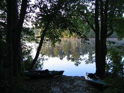
Atsion Recreation Area
Shamong, New Jersey
19.5 miles NA guarded beach on tea colored cedar water at Atsion Lake in Wharton State Forest, on the site of a nineteenth century Pine Barrens iron town.
Camp, Canoe, Hike, Kayak, Swim
Lake Como
Smyrna, Delaware
47.8 miles WSwim near Smyrna, Delaware
Swim


