


Amnicon Falls State Park
South Range, Wisconsin
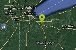
| GPS: |
46°36'27.6"N 91°53'18.9"W Maps | Directions |
| State: | Wisconsin |
Waterfalls
Camp, Hike, and Swim
Amnicon Falls State Park features a series of delightful waterfalls and rapids along the Amnicon River which can be viewed from a covered foot bridge.
More Information
Be courteous, informed, and prepared. Read trailhead guidelines, stay on the trail, and don't feed the wildlife.
Read More
- Plan Ahead and Prepare
- Travel & camp on durable surfaces
- Dispose of waste properly
- Leave what you find
- Minimize campfire impacts
- Respect wildlife
- Be considerate of other visitors
Directions
From South Range, Wisconsin
- Head southeast on County Rd C toward S Staples Ave (1.9 mi)
- Turn right onto County Rd E/County Rd C (1.5 mi)
- Turn left onto County Rd C (0.2 mi)
- Turn right onto US-2 E/US-53 S (0.4 mi)
- Take the US 2 E exit on the left toward Ashland (0.2 mi)
- Continue onto US-2 E (0.8 mi)
- Turn left onto County Rd U (0.3 mi)
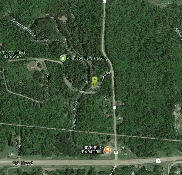
- Turn left onto Park Rd (384 ft)
- Turn right (102 ft)
The park is located a 1/2 mile north of Hwy 2 on Co. Rd U, 15 miles east of Superior.
Other Swimming Holes and Hiking Trails Nearby
Lester Park
Duluth, Minnesota
16.9 miles NSwim near Duluth, Minnesota
Swim 3.3 mi
Lester Park
Duluth, Minnesota
17.0 miles NA Duluth park beloved since the 1880s with a deep swimming pool where two creeks meet, popular for hiking and mountain biking — though the deepest 40-foot sections of 'the deeps' are best left to strong swimmers.
Camp, Hike, Mountain Bike, Swim
Silver Bay Area
Waite Park, Minnesota
41.6 miles NESwim near Waite Park, Minnesota
Swim


