


Pinnacles Valley Trail
Chiloquin, Oregon
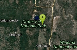
| Address: | Unnamed Road, Chiloquin, OR 97624, USA |
| GPS: |
42°50'59.4"N 122°0'24.7"W Maps | Directions |
| State: | Oregon |
National Park
Hike
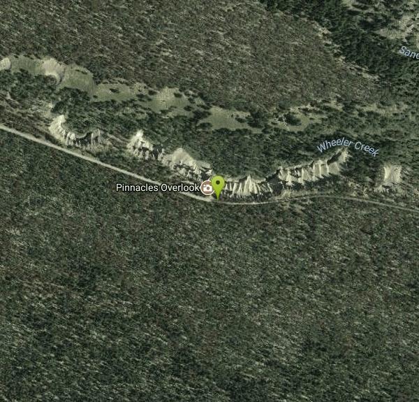
Tucked into the quiet southeastern corner of Crater Lake National Park — far from the crowds that ring the famous caldera — the Pinnacles are one of the park's strangest and most overlooked wonders: a canyon lined with hundreds of eerie, needle-like spires of volcanic rock rising as much as 100 feet from the floor of the Wheeler Creek and Sand Creek drainages. Ranging from pale tan to rust and gray, they bristle from the canyon walls like the pipes of some vast, ruined organ.
These are fossil fumaroles — the petrified plumbing of ancient volcanic vents. When Mount Mazama erupted catastrophically about 7,700 years ago and collapsed to form the caldera that now holds Crater Lake (the deepest lake in the United States), glowing avalanches of superheated pumice and ash swept down and filled these canyons hundreds of feet deep. As that fill slowly cooled over years, steam and volcanic gases hissed upward through countless vents and tubes, welding the loose material around each one into hard, cement-like columns. Over the millennia since, water and weather have eroded the softer surrounding pumice away, leaving the tougher old vents standing alone as the ghostly spires you see today — a feature the park ranks among its most significant outside the lake rim itself.
Seeing them is refreshingly easy. The Pinnacles Trail is a nearly level, roughly one-mile round-trip walk along the rim of the canyon, tracing the route of an old road toward the park's eastern boundary; it's gentle enough for wheelchairs and, unusually for a national-park trail, open to bicycles, with interpretive views down into the colorful, spire-filled gorge the entire way. A small parking area and an overlook sit right at the trailhead for anyone who only wants a quick look before driving on.
Reaching it is part of the appeal. Pinnacles Road branches off the park's East Rim Drive near the Phantom Ship Overlook — a peaceful seven-mile spur that sees a tiny fraction of the traffic of the lake rim, and one that passes close to other worthwhile stops like Plaikni Falls and, along the way, the fossil-fumarole colonnades of Godfrey Glen. Because it's well off the main rim loop, many visitors never make it out here at all, which is exactly why it stays so quiet.
A park entrance fee applies, and the road is seasonal, generally open from early summer until the first heavy snows return in fall (Crater Lake is one of the snowiest places in the country). There are no services out at the Pinnacles, so bring water and sun protection, keep well back from the crumbly, undercut canyon edge and hold tightly onto children, and consider pairing the Pinnacles with the crater rim, Vidae Falls, and Plaikni Falls for a fuller day exploring one of the most remarkable volcanic landscapes in America.
More Information
Crater Lake National Park (U.S. National Park Service)
Crater Lake inspires awe. Native Americans witnessed its formation 7,700 years ago, when a violent eruption triggered the collapse of a tall peak. Scientists marvel at its purity—fed by rain and snow, it’s the deepest lake in the USA and one of the most pristine on Earth. Artists, photographers, and sightseers gaze in wonder at its blue water and stunning setting atop the Cascade Mountain Range.
https://www.nps.gov/crla/index.htmBe courteous, informed, and prepared. Read trailhead guidelines, stay on the trail, and don't feed the wildlife.
Read More
- Plan Ahead and Prepare
- Travel & camp on durable surfaces
- Dispose of waste properly
- Leave what you find
- Minimize campfire impacts
- Respect wildlife
- Be considerate of other visitors
Directions
From Chiloquin, Oregon
- Head northwest on W Chocktoot St toward S Wasco Ave (0.1 mi)
- Continue onto OR-422 W (4.2 mi)
- Turn right onto OR-62 W (8.5 mi)
- Turn right to stay on OR-62 W (16.0 mi)
- Turn right onto Munson Valley Rd/Volcanic Legacy Scenic BywayMay be closed at certain times or days(3.9 mi)
- Turn right onto Rim Dr/Volcanic Legacy Scenic BywayMay be closed at certain times or days(3.0 mi)
- Turn right onto Grayback Dr (4.6 mi)
- Turn right at Pinnacles Rd (2.9 mi)
Other Hiking Trails Nearby
Plaikni Falls
Chiloquin, Oregon
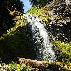
4.5 miles NWAn easy, wheelchair-accessible 2-mile round-trip trail in Crater Lake National Park to a beautiful 20-foot waterfall surrounded by firs, hemlocks, and summer wildflowers.
Hike 2.4 mi
Wizard Island Summit Trail
Crater Lake National Park
9.3 miles NWReach one of the world's finest volcanic cinder cones by boat across Crater Lake, then hike 2.5 miles up lava rock to the Witches Cauldron crater at the summit.
Hike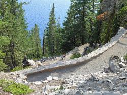
Cleetwood Cove Trail
Crater Lake National Park, Oregon
9.8 miles NWThe only legal shoreline access in Crater Lake National Park — a steep strenuous switchback hike to the water's edge, with cliff jumping options from about 20 feet into 38-50°F water.
Dive, Hike, Swim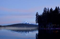
Aspen Point at Lake of the Woods
Klamath Falls, Oregon
33.9 miles SA Forest Service day use area and beach on the northeast shore of Lake of the Woods, high in the southern Oregon Cascades between Medford and Klamath Falls.
Camp, Canoe, Hike, Kayak, Swim
Upper Table Rock
Eagle Point, Oregon
49.1 miles SWUpper Table Rock and Lower Table Rock are two prominent volcanic plateaus located just north of the Rogue River in Jackson County, Oregon.
Hike


