


Bakerville Loveland Valley Trail
Silver Plume, Colorado
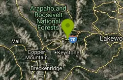
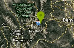
| Address: | ~2 E Bakerville Rd, Silver Plume, CO 80476, USA |
| GPS: |
39°41'29.4"N 105°48'18.1"W Maps | Directions |
| State: | Colorado |
| Trail Length: | 10.00 miles |
| MTB Difficulty: | Beginner |
| Trail Type: | Out & Back |
Mountain Bike
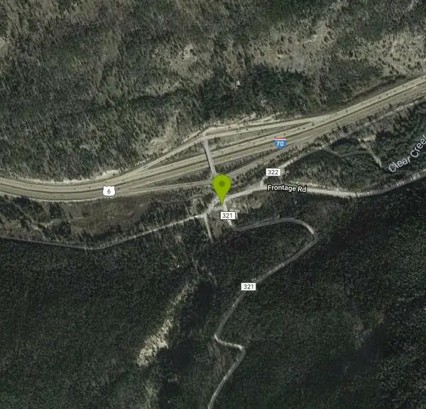
This trail climbs steadily up the valley from Bakerville to Loveland Valley Ski Area.From the parking lot ride west on a dirt road.After a short distance you come to a gate.This is where the trail starts.The Continental Divide Trail follows the B.L.T. [Bakerville Loveland Trail] for about 2 miles and then takes off to the right. Continue straight and follow the trail up the valley.When you reach the gate this is where the trail ends.Turn arround and prepare yourself for a smooth fast downhill.This also makes a nice downhill shuttle for the whole family.Park one car in Georgetown.Drive to Loveland Valley ski area, exit 216.The trail takes off between the lower parking lot and the water treatment plant. It's 12 miles almost all downhill and kids love it.From Bakerville follow the frontage road to Silver Plume and then the bike path to Georgrtown. Great views of the Georgetoen Loop Railroad from the bike path.Can also be ridden as a out and back from Georgetown. Courtesy of Singletracks.com
More Information
Never modify trail features. Ride trails when they're dry enough that you won't leave ruts. Speak up when you see others on the trail and always yield to hikers, horses, and others coming uphill. Always ride on the established trail.
Read More- Plan Ahead and Prepare
- Travel & camp on durable surfaces
- Dispose of waste properly
- Leave what you find
- Minimize campfire impacts
- Respect wildlife
- Be considerate of other visitors
Directions
From Silver Plume, Colorado
- Head south on Tregay St toward Cherokee St (157 ft)
- Turn right onto Cherokee St (177 ft)
- Turn left onto Woodward St (200 ft)
- Turn right onto Water St (436 ft)
- Turn left to merge onto I-70 W (4.1 mi)
- Take exit 221 toward Bakerville (0.2 mi)
- Turn left toward Stevens Gulch Rd (377 ft)
- Continue onto Stevens Gulch RdDestination will be on the right(203 ft)
Other Mountain Bike Trails Nearby
Argentine Pass
Idaho Springs, Colorado
5.5 miles EFollow service road about 1/4 mile. Trail takes off to left. The trail follows the old Argentine Central railroad grade to the old townsie of Waldorf a ghost town now.From here you can...
Mountain Bike
Pavilion Point Loop
Georgetown, Colorado
6.0 miles EThis is one of my regular training rides. ItÃs a combination of pavement, doubletrack, sweet singletrack, and an awesome downhill. Oh yea there is a 5 mile hill climb 1500 ft, but...
Mountain Bike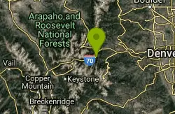
Empire Pass
Georgetown, Colorado
6.0 miles EThis was the old stage road between Georgetown and Empire.Now it's a nice piece of single track about a mile in length that connects the two towns. On your bike ride back under the...
Mountain Bike
Pavilion Point / Silverdale / Silver Creek / Empire Pass
Georgetown, Colorado
6.0 miles ETook one of the editors from the Denver post on this ride.http://www.denverpost.com/extremes/ci_6391185This loop incorporates the singletrack around Georgetown into a big loop. It can...
Mountain Bike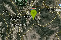
Bruno Gulch / South Park Trail #600
Dillon, Colorado
12.0 miles SI was looking for something different today. We decided to check out South Park Trail from Bruno Gulch to Geneva Creek. I was looking forward to an easy ride but it didn't turn out that...
Mountain Bike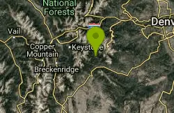
Geneva Basin Ski Resort Trail
Dillon, Colorado
12.0 miles SStart heading north from Bruno Gulch Road, running parrallel to Guanella Pass road. Connect singletrack, old 4x4 trails and connect all the way up to the abandoned ski resort whose...
Mountain Bike
Green World
Winter Park, Colorado
12.7 miles NThis is a beginner downhill single track that is part of the Winter Park resort known as the Trestle Bike Park.It is an excellent beginner trail with a lot of downhill features that...
Mountain Bike
James Peak
Winter Park, Colorado
13.4 miles NThe first 5 miles of the trail are just about flat and then the grade turns to "RR" for just about the entire 8 mile ascent up the 4x4 road. Awesome views, trail a little wet towards...
Mountain Bike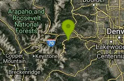
Barbour Fork Loop
Idaho Springs, Colorado
13.4 miles EThis is a tough but rewarding ride. Some insane climbs and some killer downhill sections all of which can be ridden! Lots of technical rocky sections. You ride through open meadows....
Mountain Bike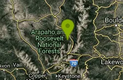
Blue Sky
Winter Park, Colorado
13.9 miles NMore Difficult- 10.6 miles- 1,279 ft This figure-eight loop climbs mostly dirt road and descends mostly single track right outside of town. Like most Fraser Valley rides there are...
Mountain Bike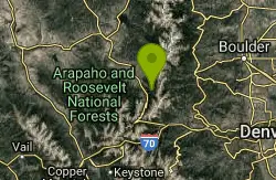
Broken Thumb
Winter Park, Colorado
14.7 miles NMost Difficult- 17.2 miles- 2,906 ft This loop climbs predominantly bike path and dirt road and descends predominantly single track. The grade is never very steep, but is...
Mountain Bike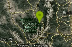
Elk Creek
Fraser, Colorado
15.0 miles NExtremely Difficult -19.5 miles- 3,712 ft - This loop ride climbs over 3,500 vertical feet on a relatively equal mix of dirt road and ATV trail. Some of the climbs are steep and...
Mountain Bike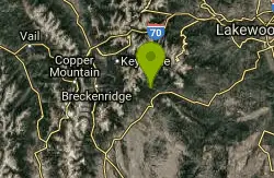
Burning Bear Trail
Grant, Colorado
15.1 miles SThis is a simple out and back from either end. The trail climbs sharply from an elevation of about 9,600 feet at either end to a high point of about 10,800 in the middle. It's about 3...
Mountain Bike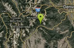
Guniella Pass Camping - No Fees
Grant, Colorado
15.1 miles SLocated west of Denver, Colorado, and south of Georgetown on the South Fork of Clear Creek in spruce forests. The campground is split into two loops. There are 17 sites available, 10 are suitable...
Camp, Mountain Bike
Idlewild Trail System
Winter Park, Colorado
15.8 miles NThere are a number of trails in this system that make great loops on mostly singletrack and a little doubletrack. A fun 8 mile route (as shown on the map) would be - start on Meadow...
Mountain Bike
Northwest Passage / Tipperary / Spruce Creek / Flume
Fraser, Colorado
16.5 miles NThis loop combines various sections of trail into a ride that can be done in under a few hours. It is mostly mellow forest riding, a few miles of road, a few miles of uphill climbing,...
Mountain Bike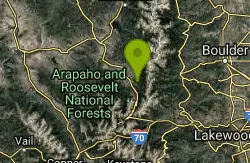
CR 81 To Rendezvous
Nederland, Colorado
16.6 miles NThis trail can be a bit muddy in the low spots by the creek. Unless you want a deadly climb, Twisted Ankle is best ridden down, I would advise starting at the top of Twisted Ankle and...
Mountain Bike
Creekside / Flume Loop
Fraser, Colorado
16.9 miles NTake the trailhead on the opposite side of the parking lot, the West side of the road. Sign says only "Creekside Trail." Follow Creekside for about 1.8 miles. Starts out as kind of...
Mountain Bike
Colorado Trail: Kenosha Pass To Lost Creek Wi
Bailey, Colorado
17.8 miles SE6.5 miles out and 6.5 miles back, this trail is a load of fun! Some super flowy, fast downhills with tacky dirt so you can just rail the turns, some decently technical climbs, this...
Mountain Bike
Hicks Mountain
Evergreen, Colorado
19.2 miles EThis is a good beginner ride or a way to add 5 miles to Beaver Brook . This was a fun ride on an old road. The first couple miles are fairly flat and open. The trail becomes steeper...
Mountain BikeNearby Campsites
Guniella Pass Camping - No Fees
Grant, Colorado
15.1 miles SLocated west of Denver, Colorado, and south of Georgetown on the South Fork of Clear Creek in spruce forests. The campground is split into two loops. There are 17 sites available, 10 are suitable...
Camp, Mountain Bike
Fulford Cave
Basalt, Colorado
47.6 miles WFulford Cave Campground is located in a sparse stand of young aspen, spruce and fir, near an active beaver pond and East Brush Creek. From this high location, there are nice views of Yeoman Park...
Camp, Cave


