


Colorado Trail: Kenosha Pass To Lost Creek Wi
Bailey, Colorado
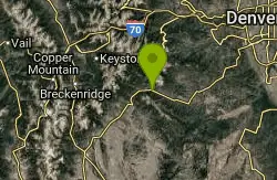
| Address: | ~49578 US Hwy 285, Bailey, CO 80421, USA |
| GPS: |
39°27'35.0"N 105°39'40.0"W Maps | Directions |
| State: | Colorado |
| Trail Length: | 13.00 miles |
| MTB Difficulty: | Intermediate |
| Trail Type: | Out & Back |
| MTB Trail Type: | Singletrack |
Mountain Bike
6.5 miles out and 6.5 miles back, this trail is a load of fun! Some super flowy, fast downhills with tacky dirt so you can just rail the turns, some decently technical climbs, this section of trail is a totally awesome ride! It starts at the top of Kenosha Pass, follows the Colorado trail, and turns around at the Lost Creek wilderness boundary (not Georgia pass. Start on the other side of 285 for that.)Enjoy! Courtesy of Singletracks.com
More Information
Never modify trail features. Ride trails when they're dry enough that you won't leave ruts. Speak up when you see others on the trail and always yield to hikers, horses, and others coming uphill. Always ride on the established trail.
Read More- Plan Ahead and Prepare
- Travel & camp on durable surfaces
- Dispose of waste properly
- Leave what you find
- Minimize campfire impacts
- Respect wildlife
- Be considerate of other visitors
Directions
From Bailey, Colorado
- Head southeast toward Co Rd 64 (16 ft)
- Turn left onto Co Rd 64 (213 ft)
- Turn left onto US Hwy 285 SDestination will be on the right(11.0 mi)
Other Mountain Bike Trails Nearby
Guniella Pass Camping - No Fees
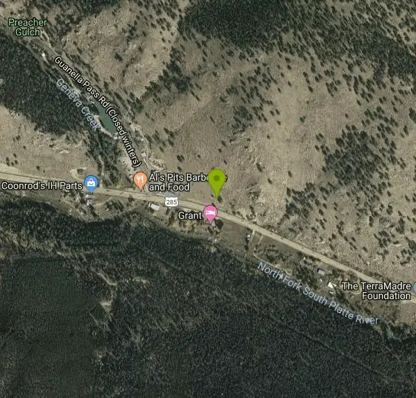
Grant, Colorado
2.8 miles NWLocated west of Denver, Colorado, and south of Georgetown on the South Fork of Clear Creek in spruce forests. The campground is split into two loops. There are 17 sites available, 10 are suitable...
Camp, Mountain Bike
Burning Bear Trail
Grant, Colorado
5.8 miles WThis is a simple out and back from either end. The trail climbs sharply from an elevation of about 9,600 feet at either end to a high point of about 10,800 in the middle. It's about 3...
Mountain Bike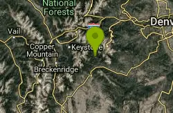
Geneva Basin Ski Resort Trail
Dillon, Colorado
6.0 miles NWStart heading north from Bruno Gulch Road, running parrallel to Guanella Pass road. Connect singletrack, old 4x4 trails and connect all the way up to the abandoned ski resort whose...
Mountain Bike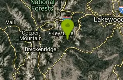
Bruno Gulch / South Park Trail #600
Dillon, Colorado
6.1 miles NWI was looking for something different today. We decided to check out South Park Trail from Bruno Gulch to Geneva Creek. I was looking forward to an easy ride but it didn't turn out that...
Mountain Bike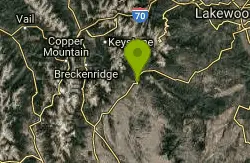
Colorado Trail: Kenosha Pass To Lost Creek Wilderness Bound
Jefferson, Colorado
6.1 miles SW6.5 miles out and 6.5 miles back, this trail is a load of fun! Some super flowy, fast downhills with tacky dirt so you can just rail the turns, some decently technical climbs, this...
Mountain Bike
Colorado Trail: Kenosha Pass To Breckenridge
Jefferson, Colorado
6.1 miles SWBegin at Kenosha Pass trailhead. Best to get an early start if possible, as this trail took us much longer than we thought it would. The trail out of Kenosha is fairly easy and...
Mountain Bike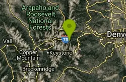
Argentine Pass
Idaho Springs, Colorado
15.6 miles NFollow service road about 1/4 mile. Trail takes off to left. The trail follows the old Argentine Central railroad grade to the old townsie of Waldorf a ghost town now.From here you can...
Mountain Bike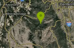
Colorado Trail: Redskin Mountain
Bailey, Colorado
16.2 miles SEThe trail here is similar to other Colorado Trail sections in the area, though the first 3 miles or so are heavily used by horses and the tread is sandy and broken up in places. Ride...
Mountain Bike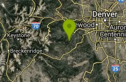
Cub Creek Trail
Evergreen, Colorado
16.6 miles NEThis trail serves as an entrance to the Mt Evans Wilderness Area. Don't let the Wilderness sign at the trailhead fool you--you can ride a good five miles before hitting the Wilderness...
Mountain Bike
Pavilion Point Loop
Georgetown, Colorado
17.7 miles NThis is one of my regular training rides. ItÃs a combination of pavement, doubletrack, sweet singletrack, and an awesome downhill. Oh yea there is a 5 mile hill climb 1500 ft, but...
Mountain Bike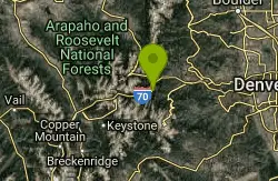
Empire Pass
Georgetown, Colorado
17.7 miles NThis was the old stage road between Georgetown and Empire.Now it's a nice piece of single track about a mile in length that connects the two towns. On your bike ride back under the...
Mountain Bike
Pavilion Point / Silverdale / Silver Creek / Empire Pass
Georgetown, Colorado
17.7 miles NTook one of the editors from the Denver post on this ride.http://www.denverpost.com/extremes/ci_6391185This loop incorporates the singletrack around Georgetown into a big loop. It can...
Mountain Bike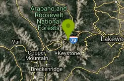
Bakerville Loveland Valley Trail
Silver Plume, Colorado
17.8 miles NWThis trail climbs steadily up the valley from Bakerville to Loveland Valley Ski Area.From the parking lot ride west on a dirt road.After a short distance you come to a gate.This is...
Mountain Bike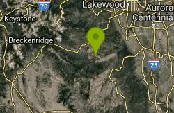
Blackjack / Raspberry Ridge
Pine, Colorado
18.1 miles EAccess the new Raspberry Ridge / Blackjack trails by dropping down the Homestead trail and picking up Raspberry Ridge as it peels off to the left.Raspberry ridge is a technical climb...
Mountain Bike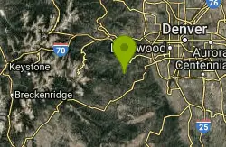
Maxwell Falls
Evergreen, Colorado
18.1 miles NEThis is a steep rocky technical climb. The ride back down makes it all worth while. It was a short fun ride I made it a little longer by connecting with Cub Creek Trail and riding to...
Mountain Bike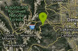
Barbour Fork Loop
Idaho Springs, Colorado
18.5 miles NThis is a tough but rewarding ride. Some insane climbs and some killer downhill sections all of which can be ridden! Lots of technical rocky sections. You ride through open meadows....
Mountain Bike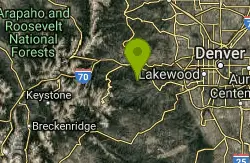
Hicks Mountain
Evergreen, Colorado
18.8 miles NEThis is a good beginner ride or a way to add 5 miles to Beaver Brook . This was a fun ride on an old road. The first couple miles are fairly flat and open. The trail becomes steeper...
Mountain Bike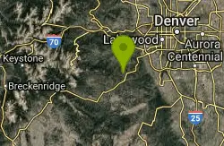
Flying J Ranch
Conifer, Colorado
19.0 miles ESuper easy singletrack with a couple of very short challenging sections. Very possibly the best beginner's trail on the Front Range and just a lovely little park. Going clockwise on...
Mountain Bike
Buffalo Creek
Pine, Colorado
19.5 miles SEWow, this trail is awesome. I had high expectations after riding the Green Mountain and Morrison Creek sections off the nearby Colorado trail and Buffalo Creek didn't disappoint. The...
Mountain Bike
3 Sisters / Alderfer
Evergreen, Colorado
19.6 miles NEFirst off, there are two parking areas for this trail. I would suggest parking at the first one you see if it's not full. This makes your ride an up and down rather than a down then...
Mountain Bike


