


Boulder Meadows Reservoir
McCall, Idaho
Backpack, Canoe, Hike, Kayak, and Swim
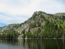
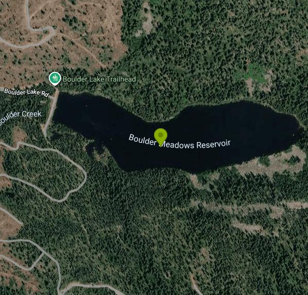
Boulder Meadows Reservoir is a quiet mountain reservoir tucked into the Payette National Forest about seven miles southeast of McCall, Idaho, in the North Fork of the Payette River drainage. Reached by a short drive east on Boulder Lake Road at around 6,300 feet, it is an undeveloped spot to spend a few hours on the water, ringed by forested ridges and offering the kind of still, reflective evenings that make Idaho's high country so beloved.
The reservoir itself is the draw: calm, cold, clear water that is a pleasure to paddle by canoe or kayak, to dip into on a hot summer afternoon, or simply to sit beside as the light fades over the mountains. Anglers know it for rainbow trout. Facilities are minimal, and that is the trade for the quiet. There is a toilet and ADA-accessible parking at the trailhead, but no developed boat ramp, no drinking water and no developed picnic area. Camping here is dispersed, on state land along Boulder Lake Road and around the trailhead, rather than in a laid-out campground with numbered sites.
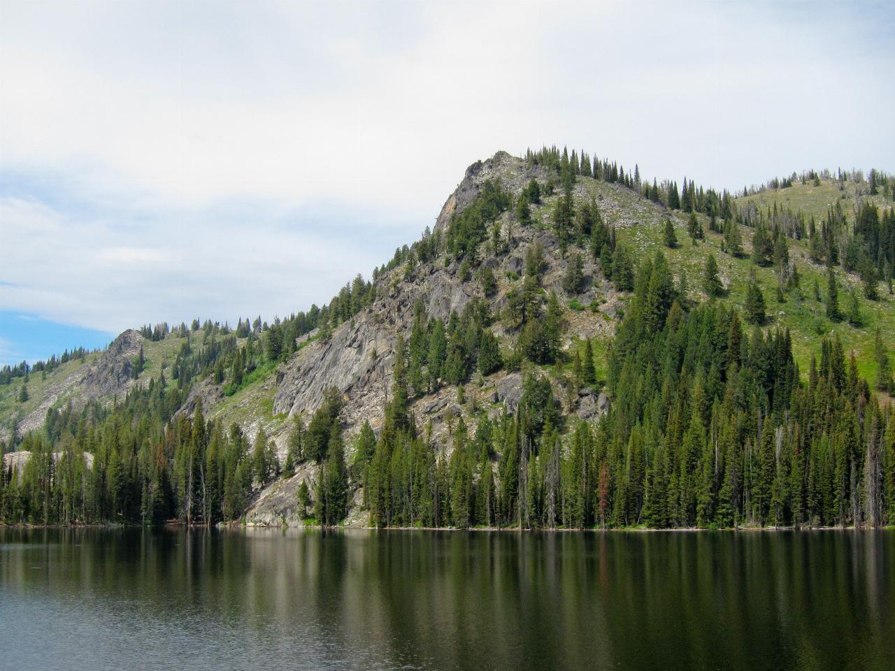
Boulder Meadows is also the gateway to some of the best hiking and backpacking near McCall. The Boulder Lake Trail, Forest Trail 105, starts at the west end of the reservoir, with the trailhead itself about 500 feet north of the campground along the shoreline and a large parking area just below the dam. The trail climbs gently for most of its two miles, then finishes with a set of steep switchbacks up a granite face, gaining roughly 700 feet in all before it tops out at alpine Boulder Lake.
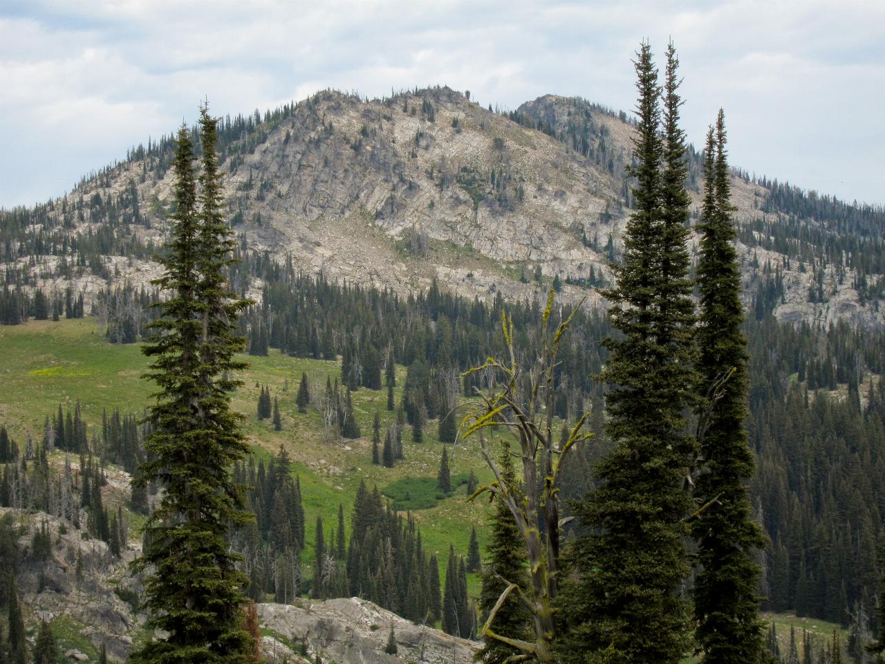
From Boulder Lake the country opens up. Trails connect onward to a constellation of backcountry lakes, Louie, Rapid, Fogg, Anderson and more, and the Boulder to Louie loop is a well-known overnight for anyone wanting more than a day out. Jughandle Mountain rises above Louie Lake and is the landmark most people photograph on that circuit. The road and trail are generally open from roughly June through October depending on snow, and the larch and aspen turning in late September make the fall a favorite window.
Whether you come to paddle the reservoir at sunset or to shoulder a pack and walk up into the Payette high country, Boulder Meadows works as both a destination and a trailhead. It is close enough to McCall for a spontaneous evening trip and remote enough that you will often have the water largely to yourself.
More Information
A Weekend Getaway: 5 Dreamy Hikes near McCall | Visit Idaho
Here are five outstanding hikes (listed from easiest to most strenuous) within an hour of McCall, perfect for a spring or summer day adventure.
https://visitidaho.org/travel-tips/5-dreamy-hikes-near-mccall/Boulder Lake (Idaho) - Wikipedia
From Wikipedia, the free encyclopedia
https://en.wikipedia.org/wiki/Boulder_Lake_(Idaho)Boulder Lake, Rapid Lake, and Vic’s Lake
It’s been a few months since my last post, and in that time, I’ve officially eclipsed one thousand miles of hiking since the COVID-19 shutdown in early 2020! Throughout the summer, I…
https://hikingboise.com/2022/08/16/boulder-lake-rapid-lake-and-vics-lake/Boulder Meadows Reservoir | Idaho Fishing Planner
Boulder Meadows Reservoir in Valley County is 30.7 acres.
https://idfg.idaho.gov/ifwis/fishingplanner/water/1159650448683North Fork Payette River - Wikipedia
The North Fork Payette River () is a river in the western United States in western Idaho. It flows about 113 miles (182 km) southwards from the Salmon River Mountains to near Banks, where it empties into the Payette River, a tributary of the Snake River. It drains a watershed of 912 square miles (2,360 km2), consisting of mountains and forests, and valleys filled with large lakes and wetlands.
https://en.wikipedia.org/wiki/North_Fork_Payette_RiverPayette National Forest - Wikipedia
From Wikipedia, the free encyclopedia
https://en.wikipedia.org/wiki/Payette_National_ForestPayette National Forest : Trail - Boulder Lake Trail #105
A popular destination for anglers, the route to Boulder Lake begins at the west end of Boulder Meadows Reservoir. The trail climbs slowly until just before the lake where a series of steep switchbacks ascend a granite face. This trailhead provides access to numerous trails and opportunities for overnight trips. Anderson, Maloney, Summit, Rapid, Fogg, and the Kennally Lakes are all accessible via the Boulder Lake Trail.
https://www.fs.usda.gov/r04/payette/recreation/trails/boulder-lake-trail-105Be courteous, informed, and prepared. Read trailhead guidelines, stay on the trail, and don't feed the wildlife.
Read More
- Plan Ahead and Prepare
- Travel & camp on durable surfaces
- Dispose of waste properly
- Leave what you find
- Minimize campfire impacts
- Respect wildlife
- Be considerate of other visitors
Directions
From McCall, Idaho
- Head west on Rio Vis Blvd toward Carmen Dr (0.4 mi)
- Slight left onto Pinedale St/
Rio Vis Blvd (0.2 mi) - Turn left onto Boydstun St/
West Mountain Rd Continue to follow Boydstun St(0.6 mi) - Continue onto Deinhard Ln (1.6 mi)
- Turn right onto ID-55 S/
S 3rd St Continue to follow ID-55 S(1.0 mi) - Turn left onto Durham Ln/
Elo Rd (2.1 mi) - Slight right to stay on Durham Ln/
Elo Rd (0.7 mi) - Keep left to continue on Boulder Lake Rd (2.5 mi)
- Continue straight (0.1 mi)
- Turn left (0.2 mi)
- Turn left (0.1 mi)
- Turn right (0.1 mi)
- Turn right onto Louie Creek Rd (0.7 mi)
- Slight left to stay on Louie Creek Rd (0.4 mi)
- Turn left (0.3 mi)
- Turn left (308 ft)
- Turn right (0.2 mi)
- Turn left (0.3 mi)
 Alpine Boulder Lake, two miles up the trail from the reservoir courtesy of Miguel Vieira from Walnut Creek, CA, USA↗ (CC BY 2.0↗)
 Along the Boulder to Louie lakes loop above the reservoir courtesy of Miguel Vieira from Redwood City, CA, USA↗ (CC BY 2.0↗)
 Jughandle Mountain above Louie Lake courtesy of Miguel Vieira from Redwood City, CA, USA↗ (CC BY 2.0↗)
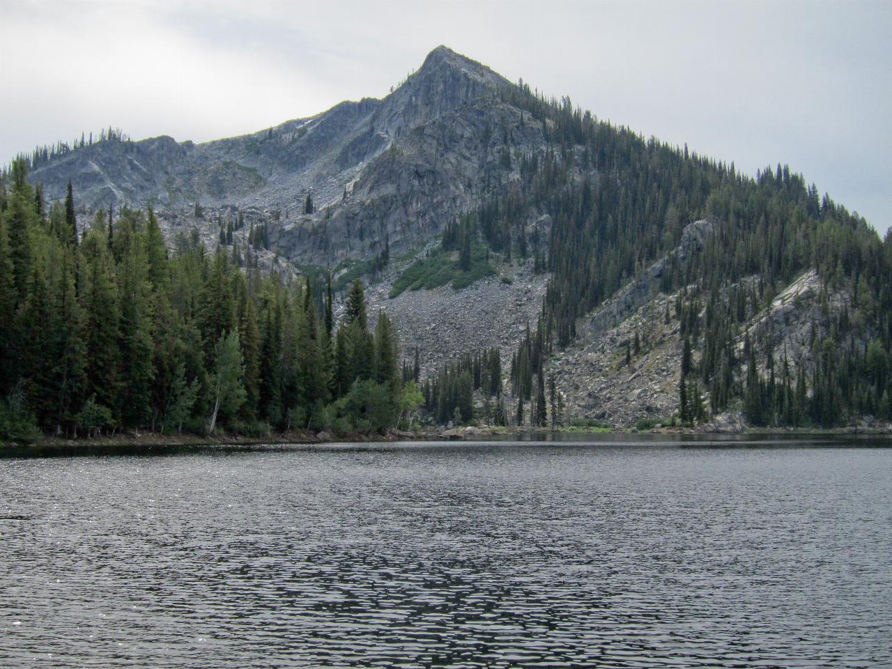
 The Payette National Forest around Boulder Meadows courtesy of Forest Service Photography↗ (Public domain↗)

Other Swimming Holes, Hiking Trails, Canoeing Areas, Kayaking Areas, and Backpacking Trails Nearby
Snowslide
McCall, Idaho
9.0 miles NSnowslide is an unofficial natural swimming hole tucked along Lick Creek Road in the mountains east of McCall, Idaho, where a mountain stream spills over and around great slabs of ancient granite to...
Swim
Boulder Creek Day Use Area
Donnelly, Idaho
14.2 miles SWA sandy-beach day-use area with a boat ramp on the west shore of Lake Cascade near Donnelly, Idaho: swim, paddle and watch the sun set behind West Mountain.
Canoe, Kayak, Swim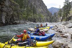
Knox
Cascade, Idaho
19.3 miles SEKnox is a wide, pool-filled stretch of the South Fork of the Salmon River near Warm Lake, east of Cascade, Idaho, in the Boise National Forest, prized for its sandy-bottomed pools and grassy banks...
Swim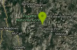
Cluster Hot Spring
Yellow Pine, Idaho
19.4 miles NEA remote hot spring hidden above the South Fork Salmon River — found by hikers who spotted steam across the canyon — requiring a raft and life jackets to reach.
Hike, Hot Springs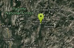
Elk River Campground
Yellow Pine, Idaho
24.3 miles EA 24-site campground in a scenic pine forest beside Elk Creek, minutes from Idaho's largest waterfall and the largest and oldest cedar east of the Cascades.
Camp, Hike 9.2-11.1 mi
Loon Lake
McCall, Idaho
25.0 miles NA 10-plus-mile backpack to a quaint mountain lake and a long-abandoned ghost plane stashed at the leeward shore — two forested routes form a loop, one 4.6 miles, one 5.7 miles.
Backpack, Hike, Horseback, Mountain Bike
Big Baldy Fire Lookout
Cascade, Idaho
37.1 miles EA demanding summit hike to a still-standing fire lookout deep in the Frank Church River of No Return Wilderness — the largest wilderness in the lower 48.
Hike
Swinging Bridge Beach
Cascade, Idaho
45.9 miles SA scenic riverside campground at 4,000 feet elevation 10 miles north of Banks, with a sandy swimming hole beach, large flat rocks to sun on, and whitewater kayaking on the North Fork Payette River.
Hike, Swim


