


Canton Creek Area
Princeton, Oregon

Swim

- Plan Ahead and Prepare
- Travel & camp on durable surfaces
- Dispose of waste properly
- Leave what you find
- Minimize campfire impacts
- Respect wildlife
- Be considerate of other visitors
Directions
From Princeton, Oregon
- Head southeast (0.3 mi)
- Turn right (4.5 mi)
- Sharp left (3.8 mi)
- Turn left onto Fields-Denio Rd (14.0 mi)
- Continue onto Folly Farm Rd (2.5 mi)
- Turn left onto OR-78 W (51.5 mi)
- Turn left onto Embree Bridge Rd (4.0 mi)
- Continue onto Island Ranch Rd (5.2 mi)
- Turn right onto OR-205 N (1.0 mi)
- Turn left onto Greenhouse Ln (4.1 mi)
- Turn left onto US-20 W/US-395 S (21.8 mi)
- Turn left onto US-395 S (37.1 mi)
- Turn right onto Christmas Valley Wagontire Rd (23.6 mi)
- Continue onto Christmas Valley Rd/County Hwy 5-14 (17.4 mi)
- Turn left onto Old Lake Rd (14.8 mi)
- Turn right onto OR-31 N (11.2 mi)
- Turn left onto Bear Flat Rd/County Hwy 4-10Continue to follow County Hwy 4-10(15.0 mi)
- Continue onto Co Hwy 676/Silver Lake RdContinue to follow Co Hwy 676(12.1 mi)
- Continue onto Silver Lake Rd (23.2 mi)
- Turn right onto US-97 N (14.7 mi)
- Turn left onto OR-138 W (61.7 mi)
- Turn right onto Steamboat Creek RdDestination will be on the right(0.5 mi)
to add photos & videos and suggest edits
Edit Review
Delete Review

Other Swimming Holes Nearby
Add Location
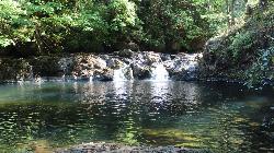
Cavitt Creek Falls Recreation Site
Glide
17.9 miles SWA free BLM day-use area and small campground on Cavitt Creek, built around the deep green pool at the foot of an eight-foot waterfall 19 miles east of Roseburg. There is no lifeguard, and the pool is at its calmest and warmest from late July into Septembe
Camp, Hike, Swim
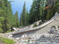
Cleetwood Cove Trail
Crater Lake National Park, Oregon
41.4 miles SEThe only legal shoreline access in Crater Lake National Park — a steep strenuous switchback hike to the water's edge, with cliff jumping options from about 20 feet into 38-50°F water.
Dive, Hike, Swim


