


Cavitt Creek Falls Recreation Site
Glide
Camp, Hike, and Swim
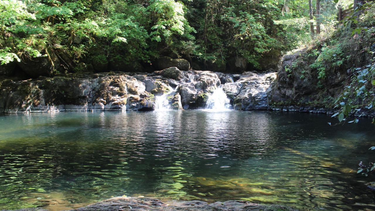
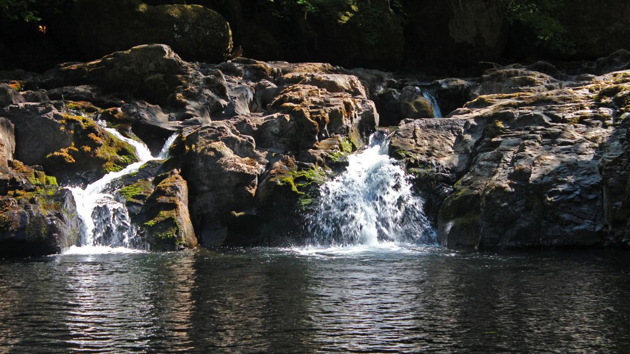
Cavitt Creek Falls Recreation Site sits on Cavitt Creek in Douglas County, about 19 road miles east of Roseburg and a few miles south of Glide. The Bureau of Land Management's Roseburg District runs it. The draw is a single eight-foot fall that splits around a cluster of boulders into two channels and drops into a wide bowl of deep green water. That bowl is the swimming hole, and the rest of the site is arranged around it: a day-use area on the bank above, a stairway down to the water, and a ten-site campground on the slope behind.
From Roseburg, take Highway 138 east 16.5 miles, turn right on Little River Road and go 6.7 miles, then right on New Bridge Road, which becomes Cavitt Creek Road. The site is 3.2 miles up, at 1,050 feet. Do not confuse it with Cavitt Creek County Park, a separate Douglas County park at the covered bridge near the mouth of the creek, several miles back down the road.
Day use is free. Camping is $14 a night for one of 10 sites on three terraced levels, four of them on the water, with no hookups and a 34-foot vehicle length limit. Sites are reservation only through Recreation.gov, with no first-come first-served, and check-in is 1:00 p.m. against an 11:00 a.m. check-out. The posted season runs May 20 to September 26. There is drinking water, vault restrooms, and tables and a grill in the day-use area. Firewood is not sold on site.
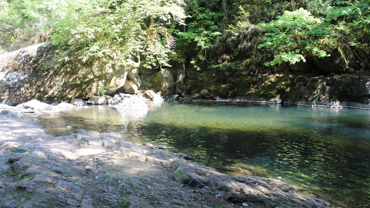
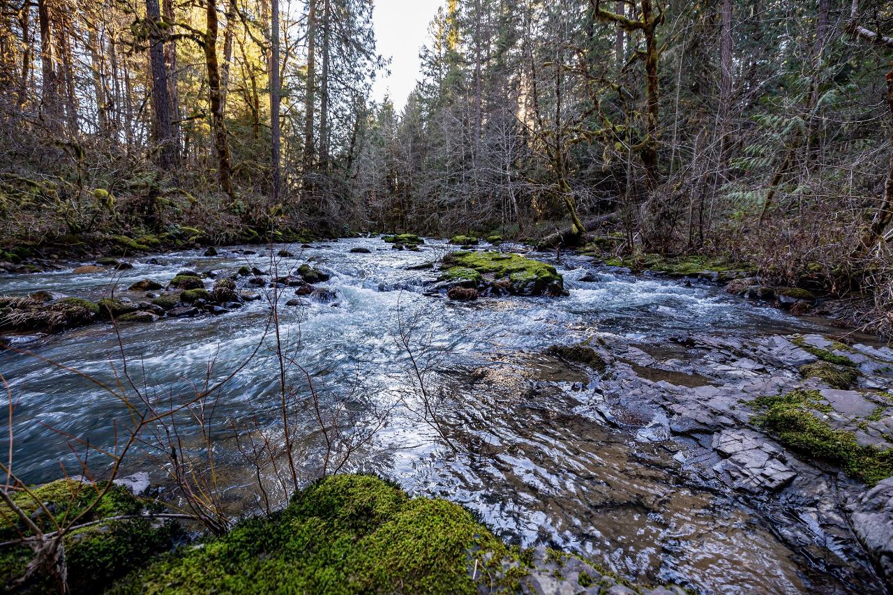
No lifeguard works here at any hour of any day. Flow is the thing to understand before you get in. The nearest long-record gauge, USGS 14318000 on Little River at Peel just downstream, has a median April flow near 640 cubic feet per second against roughly 25 in August. In spring the falls run hard and the pool churns and the water is painfully cold. By late July the creek has dropped to a fraction of that, the pool clears, and the shallow edges warm up enough for small kids. The pool is deep against the far wall and shallow over a bedrock apron on the near side. People jump from the rock at the lip of the falls, and the landing depth changes month to month, so anyone jumping should get in and check it first. Submerged boulders sit right at the base of both channels. Salmon and steelhead climb the falls from September into April.
Dogs are allowed on a leash of six feet or shorter everywhere except the swimming area, where they are not permitted at all. Trout fishing on Cavitt Creek and Little River is restricted to artificial flies and lures, late May through mid-September. This is the least accessible developed site on the Roseburg District because of the terraces. Parking, campsites, restrooms and water spigots have wheelchair upgrades, and there is an accessible waterfall viewing spot in the day-use area, but there is no accessible route into the water. Campfire rules shift with fire season. A Stage 2 fire prevention order issued by the district in June 2026 banned open fire on Roseburg BLM land except at four named campgrounds, and Cavitt Creek Falls is one of the four, so check the order in force before lighting anything. Wolf Creek Falls Trail, a 1.2-mile walk to a taller waterfall, is a few miles back up Little River Road.
More Information
CAVITT CREEK FALLS RECREATION SITE
C r e Fee Station Information Kiosk Campsite Camp Host Site Picnic Area Parking Area Restroom Swimming Area Water Spigot Firewood Path or Trail Stairs Day Use Area BLM
https://www.blm.gov/sites/default/files/documents/files/RSB_CavittCreek_map.pdfCavitt Creek Falls Recreation Site - | Bureau of Land Management
A favorite of locals and off the beaten path of the North Umpqua corridor, the site is surrounded by a forest of fir, maple and cedar trees, with a swimming hole at the base of a six foot waterfall.
https://www.blm.gov/visit/cavitt-creek-falls-recreation-siteCavitt Creek Falls Recreation Site | Travel Southern Oregon
Overview: Away from the busier North Umpqua Corridor, Cavitt Creek Falls recreation Site is a favorite of locals. Surrounded by […]
https://www.southernoregon.org/cities/glide/forests-parks-wildlife-areas/parks-recreational-areas/cavitt-creek-falls-recreation-site/Cavitt Creek Falls Recreation Site, North Umpqua Wild and Scenic River - Recreation.gov
Explore Cavitt Creek Falls Recreation Site in North Umpqua Wild and Scenic River, Oregon with Recreation.gov. Reservations must be made 1 day prior to arrival. Firewood is currently unavailable for purchase on site. Cavitt Creek Falls Recreation Site is a favorite
https://www.recreation.gov/camping/campgrounds/10060948Fire Restrictions - Oregon-Washington Bureau of Land Management
Fire restrictions and closures are one of the most effective tools that land management agencies can use to reduce the risk of human-caused wildfires during periods of high or extreme fire danger. Fire restrictions and closures are carefully considered and often change quickly due to variable weather conditions.Fire closures will be enacted for actively burning fires or for areas that burned in the past and remain hazardous.Fire restrictions can affect activities such as having a campfire, using a chainsaw, smoking, and accessing certain locations by vehicle or on foot. On average, an
https://www.blm.gov/programs/public-safety-and-fire/fire-and-aviation/regional-info/oregon-washington/fire-restrictionsLittle River at Peel, OR - USGS Water Data for the Nation
Discover water data collected at monitoring location USGS-14318000, located in Douglas County, Oregon and find additional nearby monitoring locations.
https://waterdata.usgs.gov/monitoring-location/14318000/Roseburg District Office | Bureau of Land Management
Public lands of the Roseburg District, located in southwestern Oregon, contain some of the most productive forests in the world, including dense stands of Douglas-fir, hemlock, and cedar. The district is crisscrossed with streams and rivers that support sport fishing and contribute to anadromous (sea run) fish stocks vital to commercial fishing. An important mainstay of the local economy is the wood products industry, which acquires timber from both private and federal lands in the region. With Interstate 5 running through the middle of the district, and east-west state highways connecting
https://www.blm.gov/office/roseburg-district-officeSouthwest Zone - Oregon Fishing | eRegulations
Use of bait allowed in bays and tidewaters year round. Anglers may not continue to angle for jack salmon or trout after retaining limit of adult salmon…
https://www.eregulations.com/oregon/fishing/southwest-zoneBe courteous, informed, and prepared. Read trailhead guidelines, stay on the trail, and don't feed the wildlife.
Read More
- Plan Ahead and Prepare
- Travel & camp on durable surfaces
- Dispose of waste properly
- Leave what you find
- Minimize campfire impacts
- Respect wildlife
- Be considerate of other visitors
Directions
From Glide
- Head west on Sutter St toward Montgomery St (394 ft)
- Turn left onto Montgomery St (459 ft)
- Continue onto New Montgomery StPass by Flatiron Wines & Spirits (on the right)(0.1 mi)
- Turn left onto Mission StPass by Chase Bank (on the right)(0.2 mi)
- Turn right onto 1st St (0.4 mi)
- Take the I-80 E/
Bay Brg ramp to Oakland (0.1 mi) - Merge onto I-80 EToll road(53.4 mi)
- Take exit 56 for I-505 N toward Winters/
Redding (0.7 mi) - Continue onto I-505 N (33.4 mi)
- Merge onto I-5 NEntering Oregon(367 mi)
- Take exit 124 for OR-138 E toward City Ctr/
Diamond Lk (0.3 mi) - Turn right onto OR-138/
W Harvard Ave Continue to follow OR-138(0.5 mi) - Turn left onto SE Stephens St (0.3 mi)
- Turn right onto OR-138 E/
NE Diamond Lake Blvd Continue to follow OR-138 E(16.2 mi) - Turn right onto Little River Rd (6.7 mi)
- Turn right onto Cavitt Creek Rd (0.4 mi)
- Slight right to stay on Cavitt Creek Rd (2.8 mi)
 The pool below Cavitt Creek Falls, the swimming area the whole site is built around. courtesy of Bureau of Land Management Oregon and Washington↗ (Public domain↗)
 Cavitt Creek drops about eight feet into the plunge pool. courtesy of Bureau of Land Management Oregon and Washington↗ (Public domain↗)
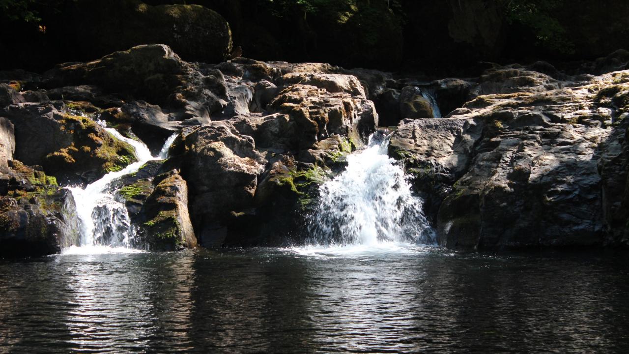
 Boulders split the falls into two channels above the pool. courtesy of BLM Oregon & Washington↗ (Public domain↗)
 Shallow bedrock along the near edge of the swimming hole. courtesy of Bureau of Land Management Oregon and Washington↗ (Public domain↗)
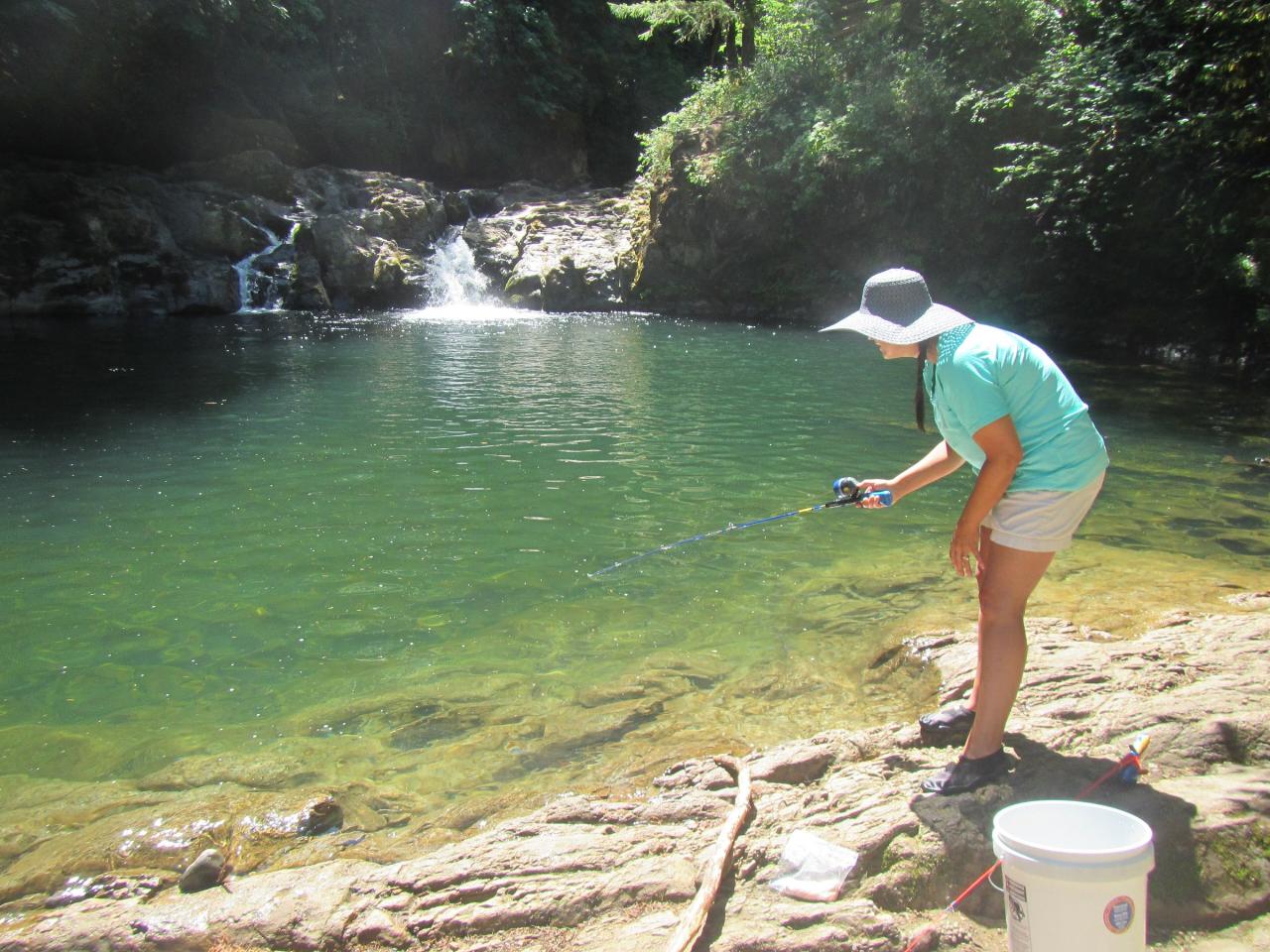
 A visitor at the green pool gives a sense of its size. courtesy of Bureau of Land Management Oregon and Washington↗ (Public domain↗)
 High winter flow in late February, when the pool is no place to swim. courtesy of BLM Oregon & Washington↗ (Public domain↗)
Other Swimming Holes and Hiking Trails Nearby

Canton Creek Area
Princeton, Oregon
17.9 miles NESwim near Princeton, Oregon
Swim
Eagle Rest
Lowell, Oregon
47.3 miles NA historic one-car viewpoint on the Historic Columbia River Highway designed by Samuel Lancaster, now rebuilt as part of a trail — once famous for watching early Bonneville Dam construction.
Canoe, Hike, Mountain Bike 2.4 mi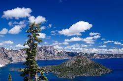
Wizard Island Summit Trail
Crater Lake National Park
47.8 miles SEReach one of the world's finest volcanic cinder cones by boat across Crater Lake, then hike 2.5 miles up lava rock to the Witches Cauldron crater at the summit.
Hike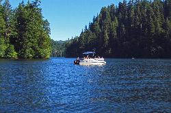
Loon Lake Recreation Site
Reedsport
49.6 miles NWA landslide-dammed lake in the Oregon Coast Range with one of the region's few genuine sand beaches, run by the BLM about 20 miles east of Reedsport. Day use is $5 per vehicle and includes a buoyed swim area, a boat ramp and a quarter-mile trail to a wate
Camp, Canoe, Hike, Kayak, Swim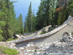
Cleetwood Cove Trail
Crater Lake National Park, Oregon
49.8 miles EThe only legal shoreline access in Crater Lake National Park — a steep strenuous switchback hike to the water's edge, with cliff jumping options from about 20 feet into 38-50°F water.
Dive, Hike, Swim


