


Cline Falls State Scenic Viewpoint
Redmond
Hike, Kayak, and Swim
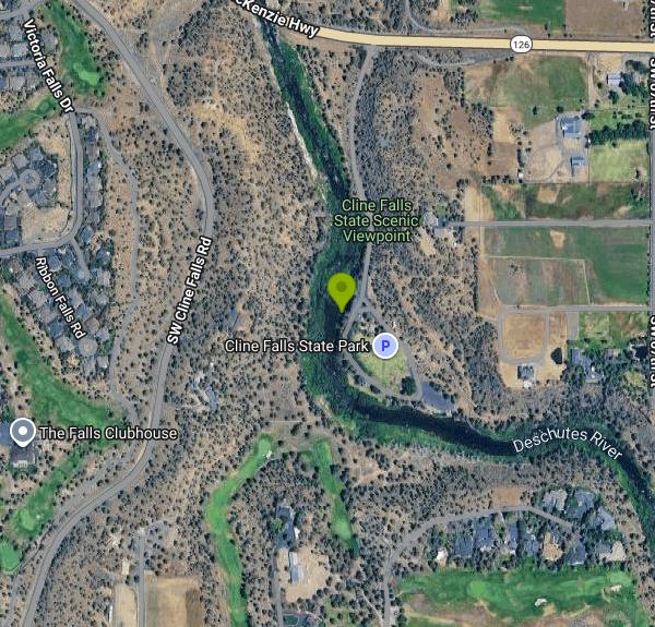
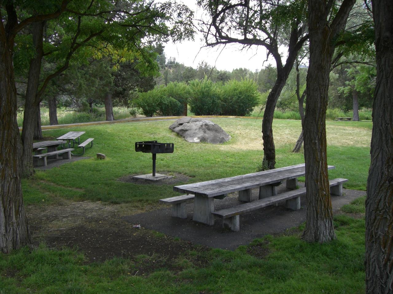
Cline Falls State Scenic Viewpoint is a nine-acre day-use park on the west bank of the Deschutes River, about four miles west of Redmond off Highway 126. The setting is classic Central Oregon high desert, with western juniper and sagebrush on the rimrock above and a shaded lawn of mature trees down along the water. Oregon acquired the land in 1936 as a gravel pit and turned it into a park in 1956 after the highway was relocated.
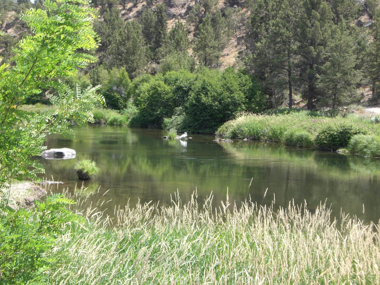
The river here runs cold and clear year round. It is fed by Cascade snowmelt and springs, and it does not warm up the way a lowland reservoir does, so plan on a short swim rather than a long lazy one. The bank inside the park offers a mix: shallow gravel coves for wading, a few deeper pools calm enough to float in, and short swift chutes that people ride on inner tubes. Families tend to stake out the gravel bars near the picnic area and keep the kids in the slow water.
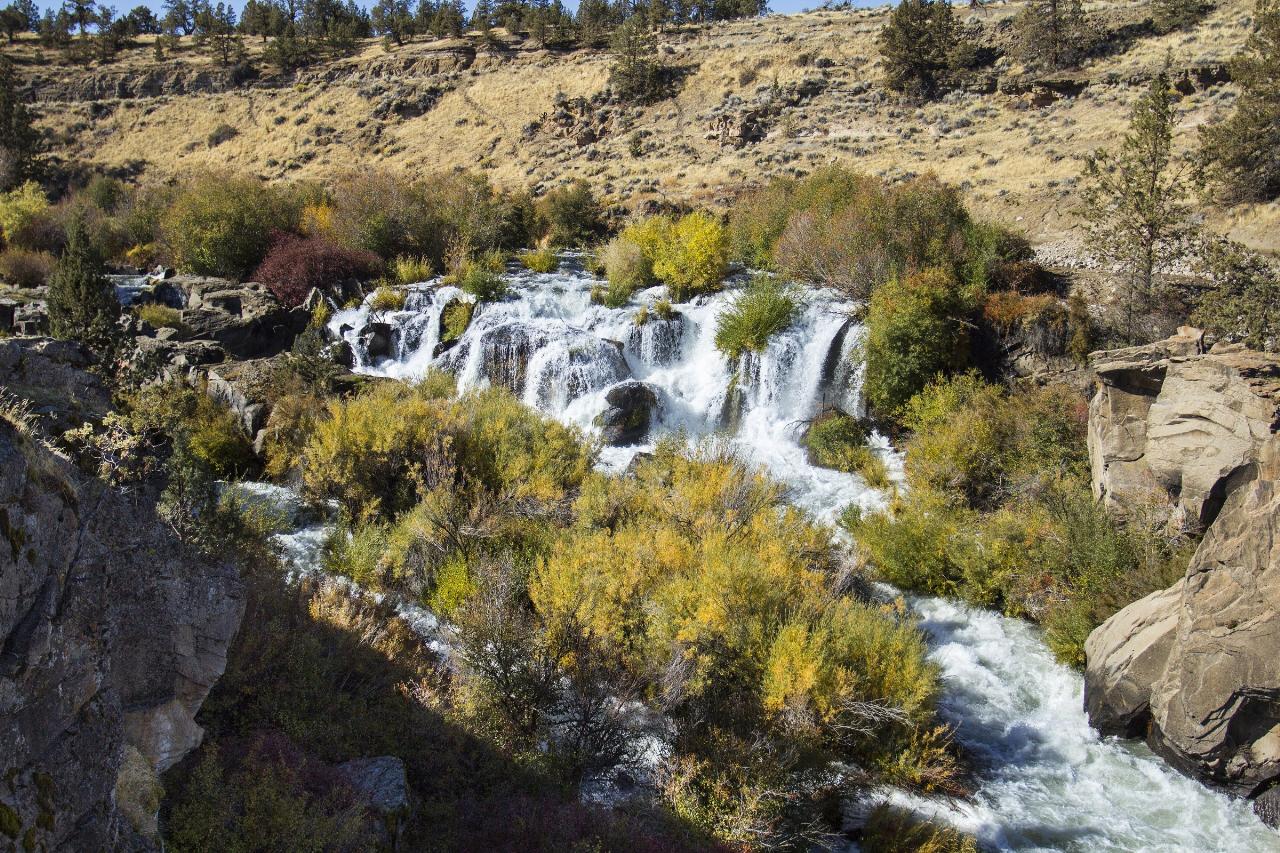
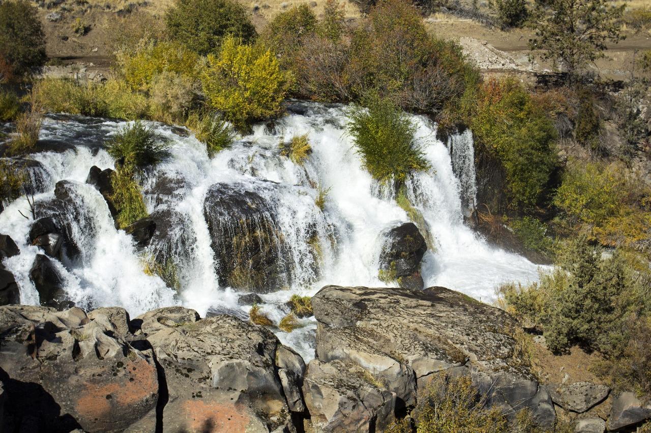
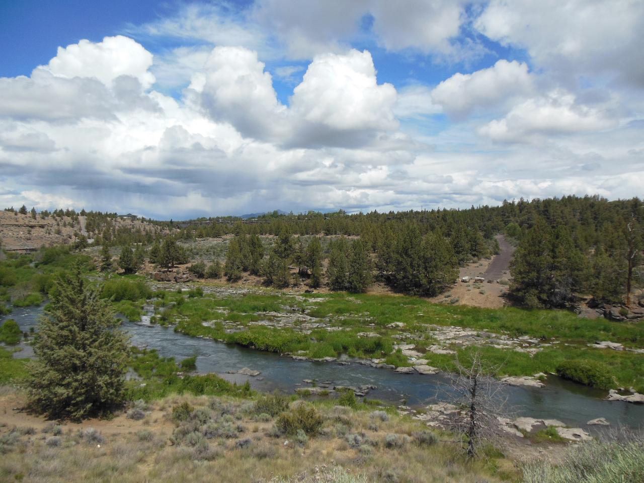
Read the water before you get in. Oregon State Parks warns about swift current and hidden obstructions, and asks that nobody swim, float or paddle without a life jacket. The rule that matters most at this park is about the bridge. Cline Falls itself sits roughly half a mile below the day-use area, outside the park boundary, a twenty-foot segmented cascade dropping across carved basalt at a seventy-seven degree pitch. Bystanders have had to pull swimmers out of this stretch. Below the Highway 126 bridge is where the river turns deadly, so stay above it.
Flow swings hard by season. The Middle Deschutes is heavily diverted into irrigation canals upstream at Bend, so summer levels here drop and the falls downstream can run thin or nearly dry through irrigation season. Spring and late fall bring the volume back.
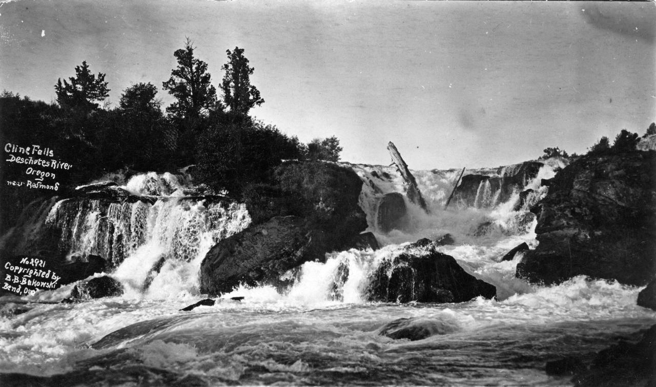
The falls carry real history. Cass A. Cline, a Redmond dentist, owned the land beside them and sold the site in 1901 to banker F. T. Hurlburt, who financed a hydroelectric plant that lit Redmond and Prineville and drove irrigation pumps. Pacific Power and Light later took it over, but upstream diversions eventually left too little water for steady generation. The powerhouse came down in 2015, and in 2017 the dam and diversion canal were removed in a roughly two million dollar restoration run by Central Oregon Irrigation District and the Upper Deschutes Watershed Council.
Facilities include flush restrooms, picnic tables, barbecue grills, horseshoe pits and a fish-cleaning station. Fishing is popular, and paddlers use the park as an access point on the Middle Deschutes. A short riverside path runs downstream toward a view of the falls. Since October 1, 2025 the park has required a state parks day-use parking permit: ten dollars per vehicle for Oregon plates, twelve for out-of-state, sold on site. Arrive on foot or by bike, or hold a current annual permit, and the fee does not apply. Alcohol is prohibited without written permission from the park.
More Information
Be courteous, informed, and prepared. Read trailhead guidelines, stay on the trail, and don't feed the wildlife.
Read More
- Plan Ahead and Prepare
- Travel & camp on durable surfaces
- Dispose of waste properly
- Leave what you find
- Minimize campfire impacts
- Respect wildlife
- Be considerate of other visitors
Directions
From Redmond
- Head south on 164th Ave NE toward Redmond Wy (36 ft)
- Continue straight to stay on 164th Ave NE (0.1 mi)
- At the traffic circle, take the 1st exit onto NE 76th St (0.1 mi)
- Turn left onto Leary Wy (0.4 mi)
- Take the ramp onto WA-520 WToll road(11.6 mi)
- Take the exit onto I-5 S toward Portland (26.6 mi)
- Keep right to stay on I-5 S (1.1 mi)
- Keep right to stay on I-5 S (132 mi)
- Keep right to continue on I-205 S, follow signs for Salem/
NE 134th St Entering Oregon(14.7 mi) - Take exit 22 to merge onto I-84 E/
US-30 E toward The Dalles (7.0 mi) - Take exit 16 for 238th Dr toward Wood Village (0.3 mi)
- Turn right onto NE 238th Dr (1.0 mi)
- Continue onto NE 242nd Dr (2.1 mi)
- Turn left onto E Powell Blvd (0.5 mi)
- Slight right onto US-26 E (103 mi)
- Continue onto US-97 S (24.3 mi)
- Turn right onto SW Glacier Ave (0.6 mi)
- SW Glacier Ave turns slightly right and becomes OR-126 W/
SW Highland Ave Continue to follow OR-126 W(3.7 mi) - Turn leftDestination will be on the right(0.3 mi)
 Cline Falls dropping across carved basalt in the Deschutes River canyon just downstream of the state courtesy of Bonnie Moreland↗ (CC0↗)
 The shaded picnic area at Cline Falls State Scenic Viewpoint above the Deschutes River. courtesy of Orygun↗ (CC BY-SA 3.0↗)
 The Deschutes running past the day-use area, where the calm bank coves and wading spots are. courtesy of Orygun↗ (CC BY-SA 3.0↗)
 Autumn light on Cline Falls in the basalt canyon west of Redmond. courtesy of Bonnie Moreland↗ (CC0↗)
 The Deschutes from the Highway 126 bridge just north of the park, below which floating turns dangero courtesy of Jsayre64↗ (CC BY-SA 3.0↗)
 Archival view of Cline Falls on the Deschutes near Redmond, from the Gerald W. Williams Collection. courtesy of OSU Special Collections & Archives : Commons↗ (No restrictions)
Other Swimming Holes, Hiking Trails, and Kayaking Areas Nearby
Smith Rock State Park
Terrebonne, Oregon
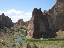
8.9 miles NEOregon's premier sport climbing destination on tuff and basalt cliffs — from classic beginner routes to cutting-edge testpieces, Smith Rock has something for every climber.
Hike, Mountain Bike, Rock Climb
Tamolitch (Blue) Pool
Mount Washington, Oregon
38.2 miles WA turquoise, glass-calm pool in Oregon fed by the McKenzie River emerging from two miles of underground lava fields — stunning for hikers and photographers, and open for cliff jumping at your own extreme caution.
Hike


