


11 Free Cross Country Ski Trails near Paintbrush Canyon
first prev 1 next lastShowing Cross Country Ski Trails within 50 miles Distance miles of String Lake Rd, Alta, WY 83414, USA City, Zip, or Address

Mill Creek Trail
Moose, Wyoming
13.1 miles WA cross-country downhill mountain bike ride at 7,000–10,000 ft elevation, linking Targhee resort via Lightning Ridge and Colter's Escape down Mill Creek into Teton Canyon — best shuttled for the descent.
Cross-country Ski, Mountain Bike, Snowshoe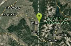
Alta Nordic Trail
Alta, Wyoming
15.6 miles WA 6.2-mile free public cross-country ski and snowshoe loop around Teton Springs Golf Course, with minimal elevation change and frequent elk, moose, and waterfowl sightings.
Cross-country Ski, Snowshoe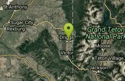
Driggs Nordic Trail
Driggs, Idaho
18.8 miles WA 3.1-mile groomed Nordic track in Driggs, perfect for cross-country skiing — check the online grooming report before heading out.
Cross-country Ski, Snowshoe

Badger Creek
Tetonia, Idaho
21.7 miles WA productive fly-fishing stream in Teton County, just 13.6 miles from Ashton, with good odds of a bite whether you're spinning, baitcasting, or drifting a fly.
Camp, Cross-country Ski, Hike, Mountain Bike, Rock Climb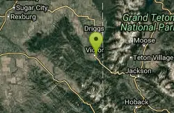
Pioneer Park Nordic Trail
Victor, Idaho
22.9 miles SWA 3-mile groomed Nordic trail winding through the scenery near Victor, Idaho — check the grooming report before you go and enjoy fresh-tracked snow on a classic winter loop.
Cross-country Ski, Snowshoe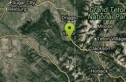
Teton Springs Trail
Victor, Idaho
24.1 miles SWCLOSED. This trail is no longer accessible to the public. There is a new company which owns the resort and the loop land. A 5.5-mile free cross-country ski and snowshoe loop around Teton Springs Golf Course with minimal elevation change and elk, moose, and waterfowl sightings along the trail.
Cross-country Ski, Snowshoe 3.2-47.0 mi
Yellowstone Branch Line Trail
Ashton, Idaho
37.1 miles NWA 39-mile trail from Warm River to the Montana border — open to backpackers, hikers, mountain bikers, horseback riders, and ATVs through the Targhee National Forest.
Backpack, Cross-country Ski, Hike, Horseback, Mountain Bike 0.3-0.6 mi
Bear Gulch
Ashton, Idaho
37.5 miles NWAn abandoned ski hill from 1969 with overgrown runs that still deliver great sledding — the lower run is fast and winding all the way down to the old ski lift.
Camp, Cross-country Ski, Hike, Sled
Mesa Falls
Ashton, Idaho
40.8 miles NWUpper Mesa Falls drops 114 feet and spans 300 feet across the Henrys Fork — just 0.2 miles of paved walkway from the parking lot, with platforms, handrails, and morning rainbow mist.
Cross-country Ski, Hike, Kayak 5.7-8.1 mi
Space Cruz
Ririe, Idaho
44.5 miles WCLOSED. This land is owned and managed by the US Forest Service and the upper portions of this route are not designated for use. As of July 2024, being caught mountain biking on PINE LOOP or THE HAWLEY GULCH CONNECTOR could recieve up to a $5000 fine and a misdemeanor. Learn more. Flowy singletrack connecting to ATV trails with great berms, small jumps, and a thistle patch best attacked at speed — just watch out for cows at the junctions.
Cross-country Ski, Mountain Bike 3.8 mi
Kelly Mountain Trail
Ririe, Idaho
45.3 miles WA moderate uphill trail open to hikers, mountain bikers, and ATVs, winding through hills with wildflower and mountain views — dogs welcome on leash.
Cross-country Ski, Hike, Mountain Bike, Snowshoe


