


Defeated Creek Day Use Area
Carthage
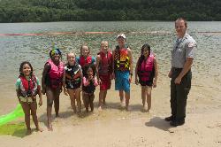
Camp, Hike, Kayak, and Swim
Defeated Creek Day Use Area sits on the south shore of Cordell Hull Lake in Smith County, Tennessee, and the U.S. Army Corps of Engineers Nashville District operates it. The Corps charges a day use fee of $5 per vehicle, collected at the entrance, and a $40 annual day use pass or a valid America the Beautiful interagency pass covers it instead. That fee is the only thing standing between you and the water. No gate code, no residency rule, no membership. Anyone who drives in and pays can swim.
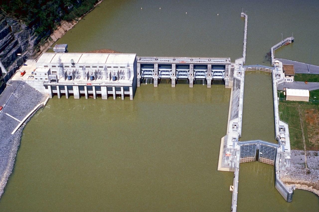
The swim beach is a shallow crescent of sand and coarse gravel in the cove just west of the boat ramp. Cordell Hull Lake is a Cumberland River impoundment of roughly 11,960 surface acres with 381 miles of shoreline, held at a normal pool elevation of 504 feet, so the waterline shifts across the season and the strip of usable sand widens or narrows with it. This is river water, not spring water. Expect it green and slow moving, opaque past a couple of feet, and genuinely warm by late June. The bottom shelves off gently at the beach, which is the whole point of a designated swim area on a reservoir where most of the shoreline is bluff and rock.
Parking sits directly behind the beach, with more lots serving the boat ramp a few hundred feet northeast, so the walk from the car to the water is short. The ramp and the swim area are separate, and they should stay that way once you are in. This is a working launch on a lake with heavy summer boat traffic, and the mouth of the cove is where the boats come and go.
The beach has been closed before, and the reason is worth carrying with you. On April 19, 2022 the Nashville District closed the Defeated Creek day use swim beach, along with the beach at Salt Lick Creek, after water samples came back with elevated E. coli. The Corps pointed at low lake levels, heavy rain and runoff from farmland upstream. Both reopened on April 26, 2022 once follow-up sampling came back clean. That was a water quality event and not a seasonal schedule, but it shows the Corps tests and posts, so look for a notice at the entrance before swimming after several days of hard rain.
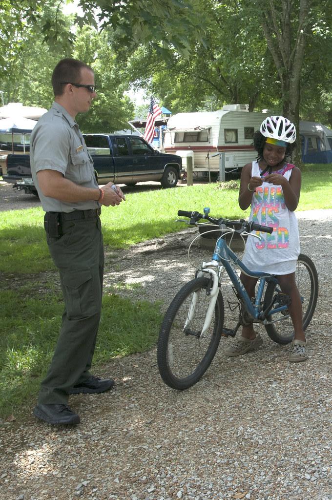
There is more here than the beach. The east trailhead of the Bearwaller Gap Hiking Trail leaves from the Defeated Creek side and climbs 5.6 miles of shoreline bluff to the Tater Knob overlook. It has been a National Recreation Trail since 1978 and it is why a lot of people stay overnight. The Corps campground next door runs roughly mid March into early November, and its own notice states that extra vehicles, and visitors coming to see campers, pay the same $5 per vehicle.
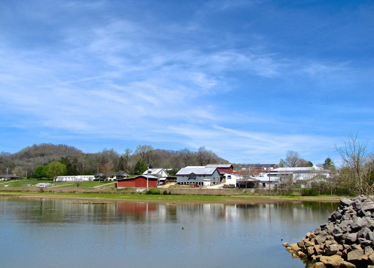
Two neighbours share the name and are not this place. Defeated Creek Marina, about half a mile south, is a leased commercial operation with its own docks and its own rules. Defeated Creek Campground, further south again, is the fee campground. The day use area and its beach are the northernmost of the three, at the end of Marina Lane. Defeated itself is an unincorporated community rather than a town, named for an 18th century surveying party under John Peyton that was driven out of the area, and its post office closed in 1929. Carthage, the Smith County seat about five miles southwest, is the mailing address the Corps uses for the park and the nearest place for gas and groceries. Nashville is roughly 40 miles west.
One thing no reachable Corps source settles is whether the swim beach has posted opening and closing dates. The campground season is documented and the beach season is not, so the reliable window is the warm months when the day use area is staffed and the fee booth is collecting.
More Information
Bearwaller Gap Hiking Trail
National Recreation Trails Application Database
https://www.nationalrecreationtrails.com/trails/bearwaller-gap-hiking-trailCorps Lakes Gateway: Tennessee - Cordell Hull Lake
An official website of the United States government Here's how you know
https://corpslakes.erdc.dren.mil/visitors/projects.cfm?ID=H303940Defeated Creek Park, Cordell Hull Lake - Recreation.gov
Explore Defeated Creek Park in Cordell Hull Lake, Tennessee with Recreation.gov. Defeated Creek Park Campground sits along the banks of Cordell Hull Lake on the Cumberland River System, just seven miles from Carthage, Tennessee. The lake
https://www.recreation.gov/camping/campgrounds/232572DVIDS - News - Cordell Hull Lake closes swim beaches
NASHVILLE, Tenn. (April 19, 2022) – The U.S. Army Corps of Engineers Nashville District announces the immediate closure of Defeated Creek Day Use Swim Beach in Carthage, Tennessee, as well as Roaring River Swim Beach in Gainesboro, Tennessee, at Cordell Hull Lake. These closures are due to high bacteria levels in the water, presumably attributed to low lake levels, recent heavy rain, and runoff from adjacent farms.
https://www.dvidshub.net/news/418809/cordell-hull-lake-closes-swim-beachesDVIDS - News - Cordell Hull Lake reopens swim beaches
NASHVILLE, Tenn. (April 26, 2022) – The U.S. Army Corps of Engineers Nashville District announces that Defeated Creek Day Use Swim Beach in Carthage, Tennessee, as well as Roaring River Swim Beach in Gainesboro, Tennessee, on Cordell Hull Lake have reopened as water conditions have returned to acceptable levels.
https://www.dvidshub.net/news/419381/cordell-hull-lake-reopens-swim-beachesDVIDS - News - Corps of Engineers Day Use Pass purchases go digital
CELINA, Tenn. (March 11, 2021) – The Corps of Engineers Annual Day Use Passes for the expiration year of 2022 are now available for digital online purchase. Each annual pass is valid one year from the date of purchase and costs $40.
https://www.dvidshub.net/news/391133/corps-engineers-day-use-pass-purchases-go-digitalDVIDS - News - U.S. Army Corps of Engineers Nashville District waives day-use fees, invites voluntee
The U.S. Army Corps of Engineers Nashville District celebrates National Public Lands Day with free day-use access at Corps-managed boat launch ramps and swimming beaches Saturday, Sept. 26, 2026. Volunteers can also support cleanup and conservation projects at J. Percy Priest, Cheatham, Cordell Hull, Dale Hollow and Old Hickory lakes throughout the Cumberland River basin. Find event details, volunteer opportunities and local contact information.
https://www.dvidshub.net/news/575588/us-army-corps-engineers-nashville-district-waives-day-use-fees-invites-volunteers-national-public-lands-day-septWay: 1006226948 | OpenStreetMap
OpenStreetMap is a map of the world, created by people like you and free to use under an open license.
https://www.openstreetmap.org/way/1006226948Be courteous, informed, and prepared. Read trailhead guidelines, stay on the trail, and don't feed the wildlife.
Read More
- Plan Ahead and Prepare
- Travel & camp on durable surfaces
- Dispose of waste properly
- Leave what you find
- Minimize campfire impacts
- Respect wildlife
- Be considerate of other visitors
Directions
From Carthage
- Head south on N Madison St toward Buchanan St (59 ft)
- Turn left onto Buchanan St/
US Hwy 136 E Continue to follow US Hwy 136 EPass by Subway (on the right)(1.3 mi) - Exit onto IL-110 W/
IL-336 S/ IL-94 S/ State Hwy 94 S/ Chicago - Kansas City Expy toward Quincy/ Hannibal Continue to follow IL-110 W/(25.7 mi)IL-336 S/ Chicago - Kansas City Expy - Slight left onto IL-110 W/
IL-336 S (6.4 mi) - Keep left to continue on I-172 S (19.3 mi)
- Take exit 0 for I-72 W toward Hannibal (0.5 mi)
- Continue onto I-72 WEntering Missouri(5.7 mi)
- Take the exit toward New London (0.2 mi)
- Slight left onto US-36 BUS W/
US-61 S/ Ave of the Saints Continue to follow US-61 S/(75.9 mi)Ave of the Saints - Continue onto I-64 E/
US-61 S/ Ave of the Saints (3.9 mi) - Keep left to stay on I-64 E (35.8 mi)
- Keep right to stay on I-64 EEntering Illinois(1.3 mi)
- Keep left to continue on I-55 N/
I-64 E (2.3 mi) - Take exit 3 for I-64 E/
IL-3 N/ St Clair Ave toward Louisville (0.3 mi) - Continue onto I-64 E (70.8 mi)
- Merge onto I-57 S/
I-64 E (3.9 mi) - Keep left to continue on I-64 E, follow signs for LouisvilleEntering Indiana(77.4 mi)
- Take exit 25A to merge onto US-41 S toward EvansvillePass by Subway (on the right in 12.5 mi)(13.4 mi)
- Keep left to stay on US-41 SEntering Kentucky(9.6 mi)
- Slight right to merge onto I-69 (2.4 mi)
- Take exit 149 for Audubon Pkwy toward Owensboro E E (0.8 mi)
- Continue onto KY-9005/
Audubon Pkwy (23.0 mi) - Take exit 24A for U.S. 60 by-Pass E toward Owensboro by-Pass (0.4 mi)
- Merge onto US-60 (6.2 mi)
- Take exit 17 for I-165 S toward Bowling Green (0.4 mi)
- Continue onto I-165 (70.1 mi)
- Continue onto KY-9007 S (2.1 mi)
- Turn right onto US-231 S (15.2 mi)
- Continue straight onto Bowling Green Rd (1.3 mi)
- Turn left onto Gallatin Rd (0.3 mi)
- Turn right onto E Locust St (0.3 mi)
- Turn right onto KY-100 E/
Holland Rd/ E Locust St Continue to follow KY-100 E/(2.0 mi)Holland Rd - Turn right onto State Hwy 1421 (4.2 mi)
- Continue straight onto State Hwy 1578Entering Tennessee(4.5 mi)
- Turn right onto TN-10 S/
Scottsville Rd Pass by Pizza Hut (on the right in 8.3 mi)(9.2 mi) - Turn right onto Public Square (151 ft)
- Turn left to stay on Public Square (289 ft)
- Continue onto Red Boiling Springs Rd (0.2 mi)
- Continue straight to stay on Red Boiling Springs Rd (1.9 mi)
- Slight right onto Union Camp Rd (9.0 mi)
- Turn right onto TN-80 S (0.6 mi)
- Slight left onto Defeated Creek Rd (1.9 mi)
- Continue onto Difficult Rd (5.1 mi)
- Turn right onto State Rte 85 W (2.4 mi)
- Turn left onto Marina Ln (1.2 mi)
- Turn left to stay on Marina Ln (0.3 mi)
- Turn right to stay on Marina Ln (0.3 mi)
- Turn rightDestination will be on the right(371 ft)
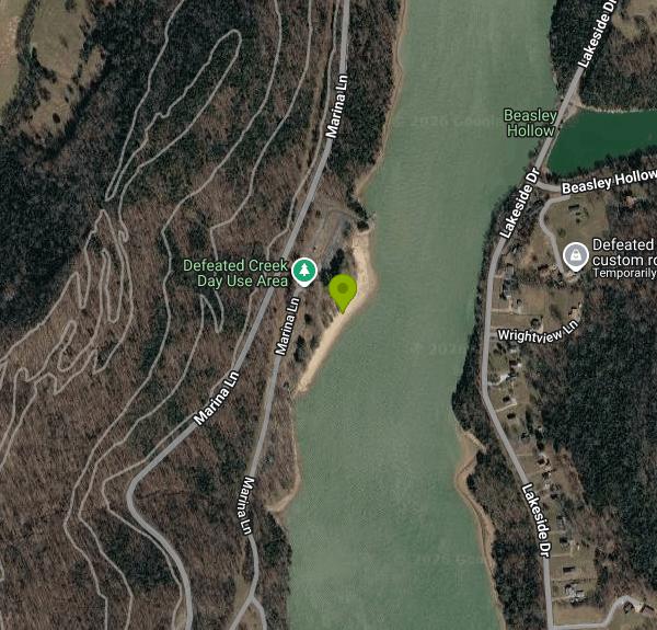 Defeated Creek Park day use area on Cordell Hull Lake, photographed by the USACE Nashville District
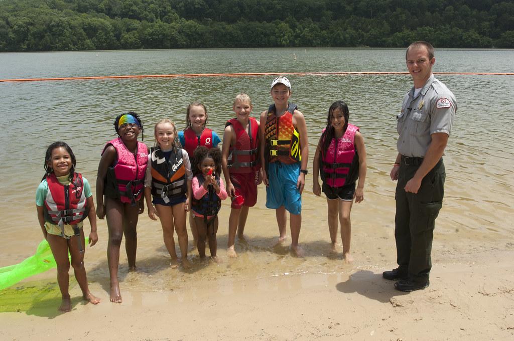
 Shoreline at Defeated Creek Park day use area, USACE Nashville District, July 2015. courtesy of NashvilleCorps↗ (CC BY-SA 2.0↗)
 Cordell Hull Lock and Dam, the Cumberland River structure that forms the lake. courtesy of United States Army Corps of Engineers image↗ (Public domain↗)
 The unincorporated community of Defeated, Tennessee, about a mile north of the recreation area. courtesy of Brian Stansberry↗ (CC BY 4.0↗)
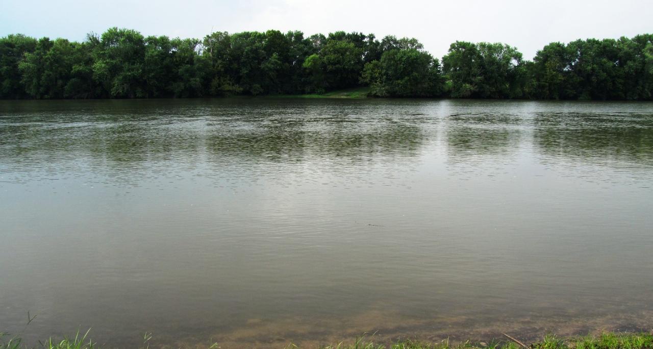
 The Cumberland River in Smith County near Rome, downstream of Cordell Hull Lake. courtesy of Brian Stansberry↗ (CC BY 3.0↗)
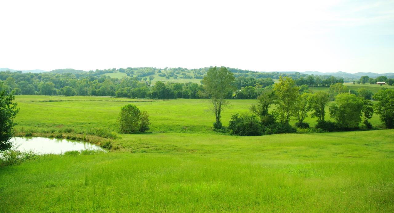
 Hill country in Smith County, Tennessee, around Carthage. courtesy of Brian Stansberry↗ (CC BY 3.0↗)
Other Swimming Holes, Hiking Trails, and Kayaking Areas Nearby
Wartrace Creek Recreation Area
Gainesboro
8.1 miles NEA Corps of Engineers day-use park on Cordell Hull Lake west of Gainesboro, with a buoyed sand swim beach, boat ramp and playground. Entry is $5 per vehicle.
Canoe, Kayak, Swim
Cummins Falls
Cookeville, Tennessee
19.2 miles ESwim near Cookeville, Tennessee
Swim
Carmac Falls
Smithville, Tennessee
26.4 miles SCLOSED. This is on private property and is only accessible to guests of Evins Mill. See details below.
Swim
Goochie Ford
Readyville, Tennessee
36.4 miles SWSwim near Readyville, Tennessee
Swim
Rock Island State Park
Rock Island, Tennessee
37.7 miles SESwim near Rock Island, Tennessee
Swim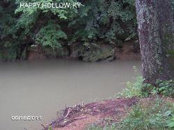
Temple Hill Area
Butler, Kentucky
39.2 miles NA slow, deep, cool swimming hole on the Skaggs River with a small sandy beach near the Happy Hollow Bridge — a perfect summer spot for relaxing in the water all year.
Swim
Stones River Rentals
Christiana, Tennessee
46.6 miles SWSwim near Christiana, Tennessee
Swim


