


Devil's Lake
Baraboo
Camp, Canoe, Hike, Kayak, and Swim
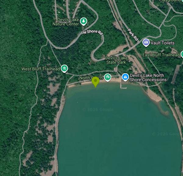
Devil's Lake State Park is a Wisconsin Department of Natural Resources property of roughly 9,217 acres wrapped around a spring-fed lake in the Baraboo Range, about three miles south of Baraboo in Sauk County. It is the most visited park in the Wisconsin state park system, with 2,384,606 visitors recorded in 2024. Two sand beaches sit at opposite ends of the lake and together run about 3,300 feet. Our pin is on the North Shore beach, the busier of the two, with the South Shore beach reachable from the park's south entrance off County Highway DL.
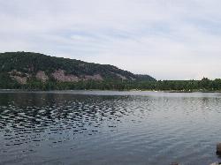
The lake fills a gap the ancient Wisconsin River cut straight through the Baraboo bluffs. Roughly 12,000 years ago the glacier dumped terminal moraines that plugged the gorge at both the north and south ends, and the trapped water became the lake. The walls left standing are Baraboo quartzite, a metamorphosed sandstone around 1.7 billion years old, rising about 500 feet above the water. The lake has no surface outlet and may drain underground toward the Baraboo River. Koshawago Spring feeds it from the southwest side. Water clarity is good enough that scuba divers use it, which is unusual for a southern Wisconsin lake.
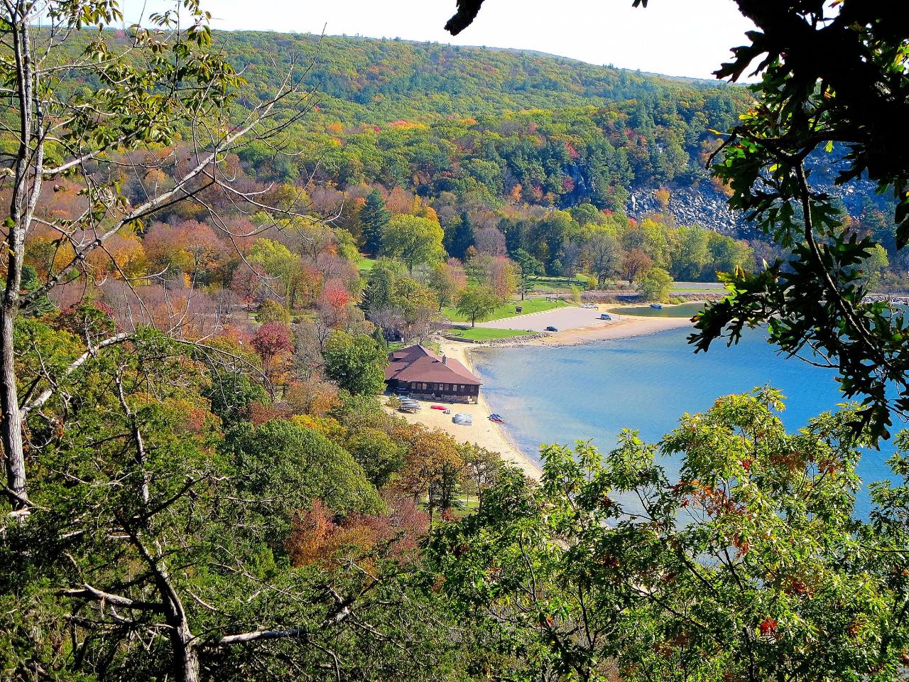
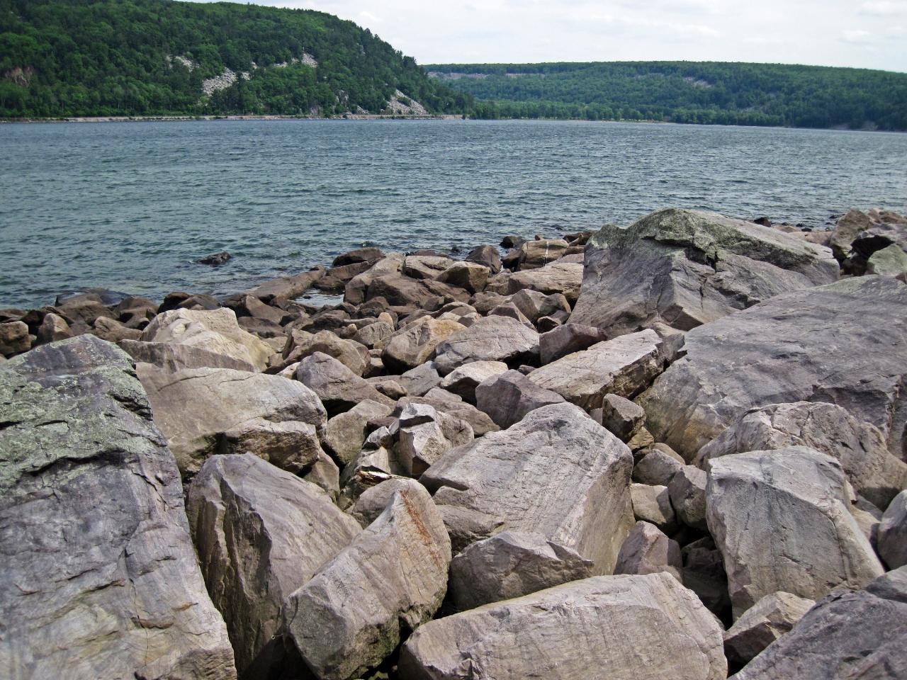
Both beaches are groomed sand and shelve gradually. Away from the beaches the shoreline turns to quartzite cobble and loose talus, which is what the Tumbled Rocks Trail crosses on the west side. The DNR does not staff lifeguards during swimming hours, at either beach. The North Shore has a beach access mat and a beach wheelchair you can check out at the Chateau, the CCC-built stone and timber concession building above the sand. Concessions at both shores rent watercraft, including an adaptive kayak. Motors on the lake are restricted to electric only, life preservers are required for every occupant of every boat including rubber rafts, and scuba diving requires a dive flag and a buddy since solo dives are not allowed. There is a separate designated pet swim area near the south end, since dogs are kept off the main swim beaches.
Everything here runs on a Wisconsin state park vehicle admission sticker, required on any parked vehicle including roadside spots. As of the rate schedule effective August 19, 2025, a daily pass is $13 for Wisconsin plates and $16 for out-of-state plates. An annual sticker is $28 for Wisconsin residents, $13 for Wisconsin residents 65 and older, and $50 for non-residents. The park is open 6 a.m. to 11 p.m. year round. Both shore parking lots fill on hot summer weekends, often well before noon.
On water quality, be clear-eyed: this is an inland lake, so it falls outside the Great Lakes beach monitoring program, and the DNR does not run routine statewide testing for blue-green algae or its toxins. Blooms have been reported at Devil's Lake. Look at the water before you get in and skip it if you see discoloration, streaking, or floating scum, and report a significant bloom to DNRHABS@wisconsin.gov.
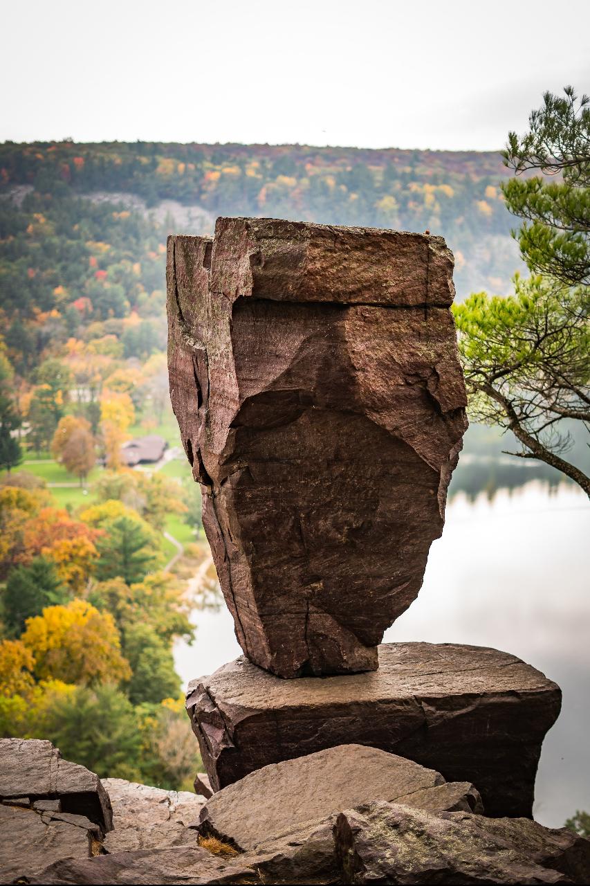
Camping is three family campgrounds, Quartzite, Northern Lights and Ice Age, plus a group camp, at more than 420 sites. Quartzite stays open year round while the other two generally close through winter. Sites are reserved through the DNR reservation system. Nearly 30 miles of trail climb the bluffs, including about 11 miles of the Ice Age National Scenic Trail, and lead to Devil's Doorway and Balanced Rock on the East Bluff. Parfrey's Glen, Wisconsin's oldest state natural area, is part of the park.
More Information
Beach Monitoring and Assessments | | Wisconsin DNR
Every year thousands of people safely enjoy swimming in Wisconsin waters. The DNR and local health officials monitor water at public beaches on a regular basis to protect public health.
https://dnr.wisconsin.gov/topic/Beaches/Monitoring.htmlBlue-Green Algae | | Wisconsin DNR
Report significant blue-green algae blooms using the Algal Bloom Reporting Form. Please fill in as much information as you can on bloom size, duration, appearance and location. The form allows geolocation from a smartphone, if enabled, and photo upload. The DNR is unable to test all reported blooms.
https://dnr.wisconsin.gov/topic/lakes/bluegreenalgaeCamping | Devil's Lake State Park | Wisconsin DNR
Devil's Lake State Park has three regular campgrounds with a total of 423 sites that each accommodate a family of one to six individuals. There are also nine group campsites that can accommodate a total of 460 campers. All campsites are reservable.
https://dnr.wisconsin.gov/topic/parks/devilslake/recreation/campingMaps | Devil's Lake State Park | Wisconsin DNR
Navigational Maps and Signage Notice:Devil’s Lake is currently upgrading its wayfinding maps and signs. During this transition period, visitors may encounter different navigational maps out on the property. Thank you for your understanding as we work to improve the park’s signage. (Updated 7/1/26)
https://dnr.wisconsin.gov/topic/parks/devilslake/mapsWater Recreation | Devil's Lake State Park | Wisconsin DNR
Two no-fee boat landings are available at the park; on the north shore near the Chateau and along Park Road between the north and south shores.
https://dnr.wisconsin.gov/topic/parks/devilslake/recreation/waterBe courteous, informed, and prepared. Read trailhead guidelines, stay on the trail, and don't feed the wildlife.
Read More
- Plan Ahead and Prepare
- Travel & camp on durable surfaces
- Dispose of waste properly
- Leave what you find
- Minimize campfire impacts
- Respect wildlife
- Be considerate of other visitors
Directions
From Baraboo
- Head south on US-12 BUS/
Broadway St toward 4th Ave Continue to follow US-12 BUS(0.4 mi) - At the traffic circle, continue straight onto South Blvd (0.2 mi)
- At the traffic circle, take the 2nd exit onto South Pkwy (0.4 mi)
- Continue onto Walnut St (1.0 mi)
- Continue onto County Rd DL (0.8 mi)
- Continue straight onto Park Rd/
N Shore Rd (0.6 mi) - Keep right to stay on Park Rd/
N Shore Rd (0.2 mi)
 Sand swim beach and open water at Devil's Lake courtesy of Iulus Ascanius at English Wikipedia↗ (Public domain↗)
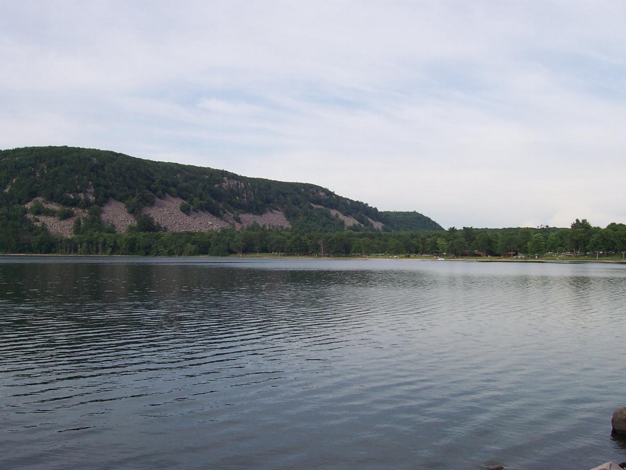
 The lake with the West Bluff quartzite wall rising behind it courtesy of Corey Coyle↗ (CC BY 3.0↗)
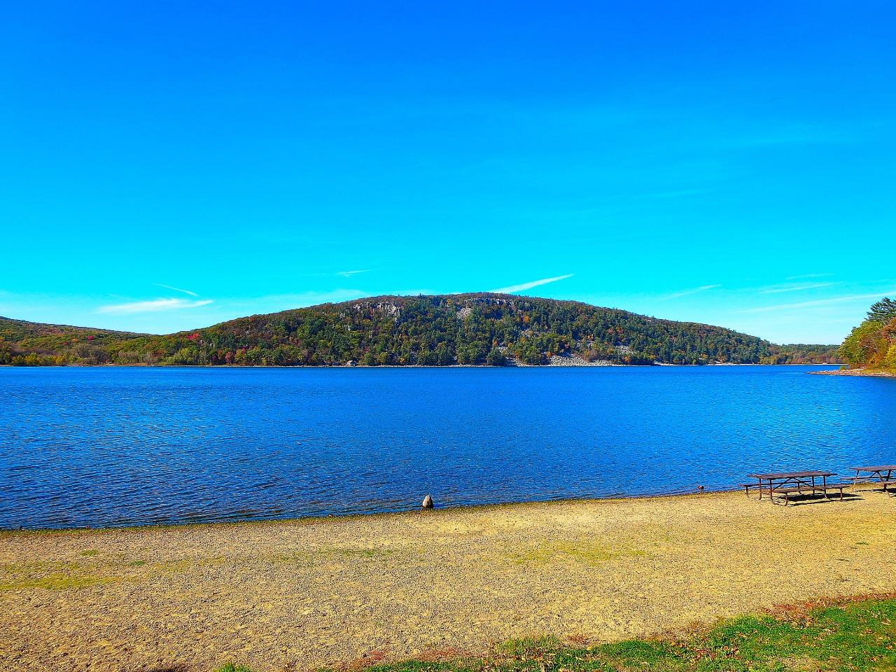
 The Chateau, the CCC-era stone and timber concession building above the North Shore beach courtesy of Corey Coyle↗ (CC BY 3.0↗)
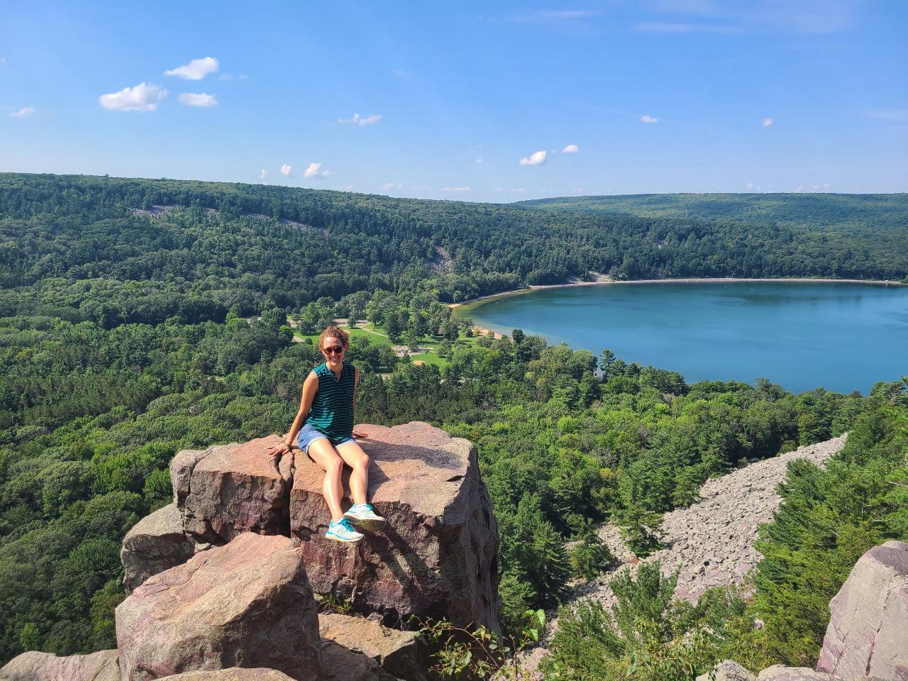
 Looking down on the lake from the East Bluff near Devil's Doorway courtesy of Bigmacthealmanac↗ (CC BY-SA 4.0↗)
 Balanced Rock, the perched quartzite block on the East Bluff courtesy of Anne Marie Peterson from Madison, WI, US↗ (CC BY-SA 2.0↗)
 Quartzite talus along the Tumbled Rocks Trail on the west shore courtesy of James St. John↗ (CC BY 2.0↗)
Other Swimming Holes, Hiking Trails, Canoeing Areas, and Kayaking Areas Nearby
Madison Area
Sheboygan, Wisconsin
21.4 miles SSwim near Sheboygan, Wisconsin
Swim
Frost Woods Beach
Monona
32.5 miles SEA small, free, unguarded City of Monona beach on shallow Wiicawak Bay, about 80 feet of sand in heavy woods at the 5800 block of Winnequah Road. Warm, murky bay water tested weekly for E. coli and blue-green algae from Memorial Day through Labor Day.
Canoe, Kayak, Swim
Buckhorn State Park
Necedah, Wisconsin
38.2 miles NA 4,600-acre state park on the Castle Rock Flowage of the Wisconsin River with a 300-foot beach, wildlife blinds, accessible fishing piers, and rustic cart-in campsites.
Camp, Canoe, Cross-country Ski, Hike, SwimNearby Campsites
Bass Lake Campground
Lyndon Station, Wisconsin
19.4 miles NA family-oriented campground six miles from the Wisconsin Dells with wooded sites, hookups, tent camping, and cabin and tent rentals for those without gear.
Camp
Buckhorn State Park
Necedah, Wisconsin
38.2 miles NA 4,600-acre state park on the Castle Rock Flowage of the Wisconsin River with a 300-foot beach, wildlife blinds, accessible fishing piers, and rustic cart-in campsites.
Camp, Canoe, Cross-country Ski, Hike, Swim


