


Eau Claire River
Eau Claire, Wisconsin

| GPS: |
44°49'3.1"N 91°21'20.7"W Maps | Directions |
| State: | Wisconsin |
Swim
This from a visitor: "Secluded shallow, slow river with sand beaches and sand bottom." Another visitor says: "We went to the Eau Claire River today. It was great! We stayed at the sandbar where the trail came out at the river. It was 85 degrees on a Sunday afternoon, and no one in sight! We did...Courtesy of swimmingholes.org
Bathing suits: Optional - None on secluded upstream beaches, but customary when canoers pass and around people that wear them.

- Plan Ahead and Prepare
- Travel & camp on durable surfaces
- Dispose of waste properly
- Leave what you find
- Minimize campfire impacts
- Respect wildlife
- Be considerate of other visitors
Directions
From Eau Claire, Wisconsin
- Head northeast on E Grand Ave toward S Farwell St (36 ft)
- Turn left at the 1st cross street onto S Farwell St (0.2 mi)
- Turn right onto Galloway St (1.8 mi)
- Continue onto Birch St (0.4 mi)
- Continue onto McKinley Rd (0.3 mi)
- Turn right onto Tower Dr (2.8 mi)
- Turn right onto Co Rd QS (0.5 mi)
- Turn left onto N Shore Dr (0.3 mi)
- Turn left onto Bullhead Pond Dr (1.0 mi)
- Continue onto N Shore Dr (1.3 mi)
to add photos & videos and suggest edits
Edit Review
Delete Review

Other Swimming Holes Nearby
Add Location
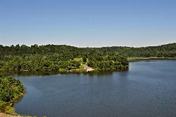
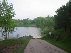
Eau Galle Lake Main Day Use Area
Spring Valley
43.6 miles WSandy, unguarded swim beach on the Army Corps' Eau Galle reservoir at the north edge of Spring Valley, Wisconsin. A Corps day-use pass is required per vehicle from April 15 to October 31.
Canoe, Hike, Kayak, Swim
Wazee Beach
Black River Falls
48.5 miles SEThe sand swim beach on Wazee Lake, a flooded iron-mine quarry and Wisconsin's deepest inland lake, in a Jackson County park east of Black River Falls. A $5 daily vehicle pass is required.
Camp, Canoe, Hike, Kayak, Swim


