


Eau Galle Lake Main Day Use Area
Spring Valley
Canoe, Hike, Kayak, and Swim
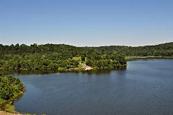
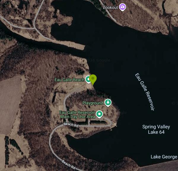
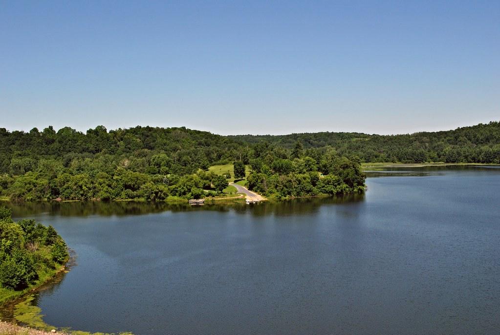
The Main Day Use Area at Eau Galle Lake is the swimming beach of the Eau Galle Recreation Area, a U.S. Army Corps of Engineers (St. Paul District) flood-control project on the Eau Galle River at the north edge of Spring Valley in Pierce County, Wisconsin. The dam backs the river up into a reservoir of roughly 140 to 150 acres, also known locally as Lake George, set among wooded hills and bluffs. The beach sits on the reservoir's south shore, about a mile north of downtown Spring Valley.
From the Twin Cities, take I-94 east to Exit 24, then follow County Road B south about 10 miles and watch for the Corps signs. The project office is at W501 Eau Galle Dam Road. Inside the Main Day Use Area, Beach Drive leads to parking lots right behind the sand, so the walk to the water is short. Overnight camping is not allowed here; the Corps sends campers to its Highland Ridge Campground on Dugan Road, which has its own entrance off County Road NN.
The swim area is a marked section off a large sandy beach, with sand volleyball courts and restrooms just behind it. The Corps does not list lifeguards, so expect to swim unguarded, and it does not publish depth figures for the swim area. The water is the dammed Eau Galle River itself, a still reservoir rather than moving current, and the Corps posts no water temperature readings.Boats are limited to non-gasoline power and the whole lake is no-wake, which keeps the swim area calm. Fishing is not allowed inside the swim perimeter.
This is not a free beach. Every vehicle entering the Main Day Use Area needs a Corps day-use pass from April 15 through October 31, bought on Recreation.gov, at the automated machine at the entrance, or at the project office (cards only on site). The Corps does not post the dollar amount online, so check the machine or call 715-778-5562. Corps annual passes and America the Beautiful interagency passes are accepted instead. The area is open all year, and no fee is charged from November through mid-April. The Corps has shortened the hours in the past after vandalism, and hours are not published, so confirm before a late visit.
Pets and glass are banned from the beach zone, which the Corps defines as the beach, swim area, volleyball courts, parking lot and surrounding lawn; elsewhere dogs must stay on a leash of six feet or less. There are no trash or recycling bins in the Main Day Use Area, so everything you bring has to leave with you. Campfires, horses and off-road vehicles are also prohibited. The Corps points visitors to the Wisconsin DNR beach status page for any water quality advisories.
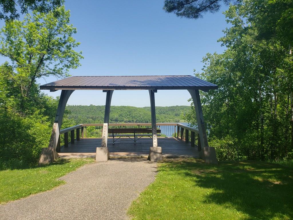
Beyond the beach there are picnic shelters you can reserve, playgrounds, horseshoe pits, a boat ramp and an accessible fishing pier where people catch largemouth bass, crappie, bluegill and sunfish. Hiking and equestrian trails run through the woods around the reservoir, and an overlook shelter on the bluff gives a view down the lake. Crystal Cave, a show cave, is about a mile southwest of Spring Valley.
More Information
Corps Lakes Gateway: Wisconsin - Eau Galle Lake
An official website of the United States government Here's how you know
https://corpslakes.erdc.dren.mil/visitors/projects.cfm?Id=B605270DVIDS - News - Corps closes bridge at Eau Galle Recreation Area
The U.S. Army Corps of Engineers, St. Paul District, has closed the bridge at the Northwest Day Use Area at the Eau Galle Recreation Area in Spring Valley, Wisconsin, to all vehicle, pedestrian and equestrian traffic due to the deteriorated conditions of the bridge.
https://www.dvidshub.net/news/468457/corps-closes-bridge-eau-galle-recreation-areaEau Galle Lake - Camping, Permits | Wisconsin | Recreation.gov
Reserve camping, permits & activities at Eau Galle Lake, Wisconsin. 2 campgrounds, 2 permits. Book official reservations on Recreation.gov.
https://www.recreation.gov/camping/gateways/162Eau Galle Recreation Area | Travel Wisconsin
Eau Galle Lake is a 150-acre lake surrounded by two day use areas, a beach, two boat launches, one campground, and several miles of hiking and equestrian trails. An abundance of largemouth bass, crappies, bluegills, and sunfish provide plenty of action f
https://www.travelwisconsin.com/stay/campgrounds-rv-parks/eau-galle-recreation-areaHours Reduced At Eau Galle Recreation Area After String Of Vandalism - CBS Minnesota
Area officials say the site was recently damaged by "off-roading activities and vandalism of road signage."
https://www.cbsnews.com/minnesota/news/hours-at-eau-galle-recreation-area-reduced-after-string-of-vandalism/Main Day Use Area Day Pass Pass in Wisconsin - Recreation.gov
Buy Main Day Use Area Day Pass Activity Pass in Eau Galle Lake, Wisconsin with Recreation.gov. This day use pass allows access to the Main Day Use Area at the Eau Galle Project. The Main Day Use Area at the Eau Galle Project offers many family-friendly ou
https://www.recreation.gov/activitypass/AP22630Main Day Use, Eau Galle Lake - Recreation.gov
Explore Main Day Use in Eau Galle Lake, Wisconsin with Recreation.gov. Main Day Use Are at Eau Galle Lake offers many family-friendly outdoor activities including fishing, boating and hiking, in the lush Wisconsin woodlands.
https://www.recreation.gov/camping/campgrounds/233548Be courteous, informed, and prepared. Read trailhead guidelines, stay on the trail, and don't feed the wildlife.
Read More
- Plan Ahead and Prepare
- Travel & camp on durable surfaces
- Dispose of waste properly
- Leave what you find
- Minimize campfire impacts
- Respect wildlife
- Be considerate of other visitors
Directions
From Spring Valley
- Head south on Helix St toward Kenwood Dr (72 ft)
- Turn left onto Kenwood Dr (0.6 mi)
- Turn left to merge onto CA-94 W (1.1 mi)
- Take exit 9B to merge onto CA-125 N (1.9 mi)
- Take exit 18C to merge onto I-8 W (6.5 mi)
- Take exit 7B to merge onto I-15 N toward Riverside (57.2 mi)
- Keep right to continue on I-215 N (34.5 mi)
- Take exit 52B to stay on I-215 N toward San Bernardino/
Barstow (20.6 mi) - Merge onto I-15 N (58.1 mi)
- Keep left to stay on I-15 N, follow signs for Las VegasPassing through Nevada, ArizonaEntering Utah(397 mi)
- Take exit 132 for I-70 E toward Richfield/
Denver (0.5 mi) - Continue onto I-70 EEntering Colorado(501 mi)
- Take exit 269B on the left for I-76 E toward Fort Morgan (0.6 mi)
- Continue onto I-76 EEntering Nebraska(186 mi)
- Take the exit onto I-80 E (342 mi)
- Keep left to stay on I-80 EEntering Iowa(132 mi)
- Keep left to continue on I-235 E, follow signs for Des Moines (14.5 mi)
- Continue onto I-35 NEntering Minnesota(220 mi)
- Keep right to continue on I-35E N, follow signs for St Paul (10.9 mi)
- Take exit 99A-99B to merge onto I-494 E (12.8 mi)
- Take the exit onto I-94 EEntering Wisconsin(33.8 mi)
- Take the exit toward Co Hwy B/
Pierce County Rd B (0.3 mi) - Turn right onto Co Hwy B/
Pierce County Rd B (5.2 mi) - Turn left onto 890th Ave/
Pierce St Croix Rd (1.0 mi) - 890th Ave/
Pierce St Croix Rd turns right and becomes Van Buren Rd (0.5 mi) - Turn left onto Eau Galle Dam Rd (0.4 mi)
- Turn right onto Overlook Rd (0.1 mi)
- Turn left onto Beach Rd/
Spillway Rd Continue to follow Beach Rd(0.6 mi) - Turn left (0.2 mi)



Other Swimming Holes, Hiking Trails, Canoeing Areas, and Kayaking Areas Nearby
Prescott City Beach
Prescott
28.3 miles WSmall free city beach on the St. Croix River just north of downtown Prescott, Wisconsin, with a designated swim area, bathhouse and restrooms. No lifeguards; watch for boat wakes and quick drop-offs.
Swim
South Twin Park Beach
Amery
31.5 miles NAmery's free city swimming beach on the east shore of South Twin Lake, a few blocks from downtown. No lifeguards, and check for bacteria advisories before swimming.
Swim
Carver Lake Beach
Woodbury
36.0 miles WFree, unguarded sand beach on Carver Lake in Woodbury's Carver Lake Park, open for swimming 9 a.m. to 8 p.m. from Memorial Day to Labor Day, with showers, restrooms and a boardwalk.
Hike, Swim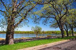
Phalen Regional Park Beach
Saint Paul
40.4 miles WSaint Paul's free, lifeguarded city beach on Lake Phalen, with a splash pad, changing rooms, kayak and paddleboard rentals and free parking on the East Side.
Canoe, Hike, Kayak, Swim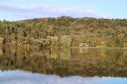
Lake O' the Dalles Beach
St. Croix Falls
41.8 miles NWThe swimming beach at Wisconsin's Interstate Park, on a calm lake below the St. Croix River bluffs in St. Croix Falls. Sand beach, no lifeguards, state park vehicle pass required.
Camp, Canoe, Hike, Kayak, Swim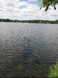
Lake Gervais County Park
Little Canada
41.9 miles WFree, unguarded Ramsey County beach on the southwest shore of 234-acre Gervais Lake in Little Canada, with a buoyed swim area from late May through Labor Day, a fishing pier and a playground.
Canoe, Kayak, Swim
Eau Claire River
Eau Claire, Wisconsin
43.7 miles EA secluded shallow river with sand beaches and a sandy bottom near Eau Claire — quiet enough on a hot Sunday afternoon that you might have the whole sandbar to yourself.
Swim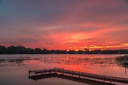
Golden Lake Park
Circle Pines
48.2 miles NWFree city park on Golden Lake in Circle Pines with a small sand swim beach, open sunrise to sunset with no entrance fee. Unguarded, electric-motor-only lake with a fishing pier and boat launch.
Canoe, Kayak, Swim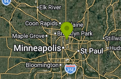
Silver Lake Park
Columbia Heights
49.7 miles WColumbia Heights' only city swimming beach, a small free strip of sand on the northwest shore of Silver Lake at 4305 Stinson Blvd NE, next to Silverwood Park. No lifeguard on duty.
Canoe, Hike, Kayak, Swim


