


Emmaline Lake
Bellvue, Colorado
Hike
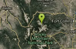
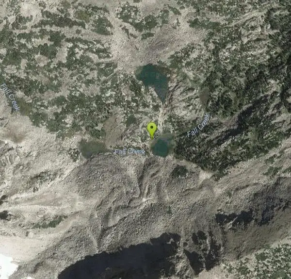
Emmaline Lake is one of those scenic alpine jewels that make hiking in Colorado so enjoyable. It is set in a deep mountain cirque on the northern side of the Mummy Range. The lake lies 1,700 feet below the summit of Comanche Peak, the highest point in the Comanche Peak Wilderness Area, and is fed by three permanent snowfields on the slopes below. At 11,000 feet, the shores of the lake are just above timberline, and the views of the rugged alpine country that surrounds Emmaline are unimpeded.
More Information
Emmaline Lake, Colorado
Extensive excerpts from the popular hiking book, Colorado
http://www.utahtrails.com/colorado%20pages/emmalinelake.htmlBe courteous, informed, and prepared. Read trailhead guidelines, stay on the trail, and don't feed the wildlife.
Read More
- Plan Ahead and Prepare
- Travel & camp on durable surfaces
- Dispose of waste properly
- Leave what you find
- Minimize campfire impacts
- Respect wildlife
- Be considerate of other visitors
Directions
From Bellvue, Colorado
- Head east on W Co Rd 52E/Mountain Ave/Rist Canyon Rd toward N Co Rd 23/N Co Rd 23EContinue to follow W Co Rd 52E/Rist Canyon Rd(1.0 mi)
- Sharp left onto U.S. 287 B (1.5 mi)
- Turn left onto US-287 N (1.4 mi)
- Turn left onto CO-14 W (26.2 mi)
- Turn left onto Pingree Rd (4.2 mi)
- Turn left onto N Co Rd 63E/Pingree Park Rd (11.2 mi)
- Turn right onto W Co Rd 145 Campground (0.3 mi)
- Continue straight onto Cirque Meadow Trail (2.1 mi)
- Cirque Meadow Trail turns slightly left and becomes Meadow Trail (1.2 mi)
- Turn right onto Cirque Meadow Trail (0.2 mi)
Travel 11 miles northwest of Fort Collins on U.S. Highway 287 to Colorado Highway 14. Turn left on CO 14, and travel 26 miles to County Road 63E, Pingree Park Road. Turn left and travel 16 miles to Forest Road 145. Turn right, pass Tom Bennett Campground, and look left for the rough ½-mile road leading to the Emmaline Lake/Mummy Pass trailhead. Parking at the beginning of the road and hiking the extra ½-mile may be preferable due to the primitive condition of the road.
Other Hiking Trails Nearby

Mallory Cave
Boulder, Colorado
43.9 miles SEA hike from the NCAR parking lot to the Mesa Trail and a final 100-foot rock climb into a cave — skip if there's ice or snow on the approach, and follow the signs carefully.
Cave, Hike
Saint Mary's Glacier
Idaho Springs, Colorado
48.7 miles SA semi-permanent snowfield in Arapaho National Forest, just 2.5 miles from James Peak — a unique alpine destination in the Colorado Rockies.
Hike


