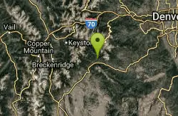
Mallory Cave
Boulder, Colorado

| Address: | Boulder, CO 80302 United States |
| GPS: |
39°58'26.8"N 105°17'21.8"W Maps | Directions |
| State: | Colorado |
| Trail Length: | 2.80 miles |
| Trail Type: | Out & Back |
| Hike Difficulty: | Intermediate |
| Elevation Gain: | 1000 feet |
Trails Rocks Wildflowers
Cave and Hike
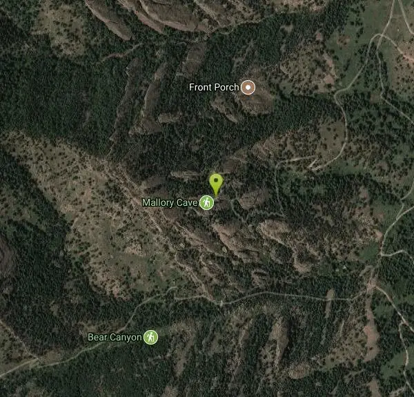
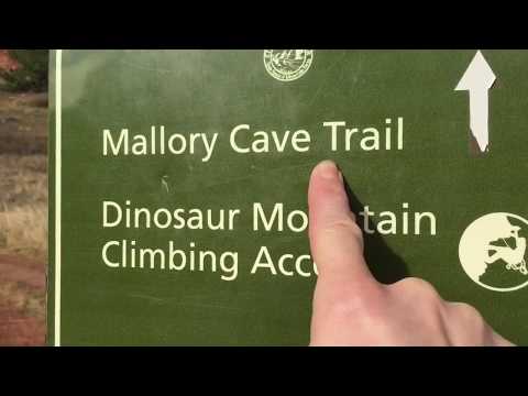
Mallory Cave is a historic and scenic hiking destination in the Flatirons above Boulder, Colorado, set high on the slopes of Dinosaur Mountain within the city's Open Space and Mountain Parks. First explored by a University of Colorado student in 1932, the cave and the rugged trail that climbs to it have been a beloved Boulder adventure for generations — a rewarding scramble through classic Front Range terrain with big views along the way.
One crucial thing to know: you can no longer go inside the cave. Mallory Cave is home to a colony of sensitive Townsend's big-eared bats, and to protect them from white-nose syndrome — a devastating disease spread in part by humans — the cave entrance was gated in 2011 and is permanently closed to entry. On top of that, the final approach to the cave is closed seasonally from April 1 to October 1 each year to protect the roosting bats, so the upper trail is only open in late fall and winter. Please respect the gate, the signs, and the closures — the bats depend on it.
Even without entering the cave, the hike is well worth it. Starting from the NCAR Trailhead (off Table Mesa Drive at the National Center for Atmospheric Research), the route heads west and climbs through forest and rock, with a short, hands-on scramble near the top, and it connects to Boulder's vast Mesa Trail network if you want to extend your outing.
Plan a fall or winter visit if you want to reach the cave area, wear sturdy shoes for the rocky final pitch, carry water, and leave no trace. A piece of Boulder history wrapped in a great little hike, Mallory Cave is a rewarding trek — just admire the cave from outside, and let the bats be.
More Information
Boulder Hike of the Month: Mallory Cave - Your Boulder
Explore the outdoors with AllTrails, the best app for hiking, biking, and running. Discover curated guides, trail maps, photos, and reviews for over 500,000 trails worldwide.
https://yourboulder.com/boulder-hike-mallory-cave/Be courteous, informed, and prepared. Read trailhead guidelines, stay on the trail, and don't feed the wildlife.
Read More
- Plan Ahead and Prepare
- Travel & camp on durable surfaces
- Dispose of waste properly
- Leave what you find
- Minimize campfire impacts
- Respect wildlife
- Be considerate of other visitors
Directions
From Boulder, Colorado
- Head south on 19th St toward Arapahoe Ave (138 ft)
- Turn right at the 1st cross street onto Arapahoe Ave (0.4 mi)
- Turn left onto Broadway (2.5 mi)
- Turn right onto Table Mesa Dr (1.3 mi)
- Continue onto Ncar Rd (0.9 mi)
- From US-36, take the Table Mesa Drive exit and head west (left at the first traffic light).
- Continue on Table Mesa Drive as it climbs up the side of the Rocky Mountain foothills.
- Table Mesa Drive will eventually dead end into the NCAR parking lot. Courtesy of Nomadcolorado.com
Other Hiking Trails and Caves Nearby
Clear Creek Whitewater Park
Golden, Colorado
15.5 miles SA quarter-mile whitewater stretch in Golden with six drop structures and seven city blocks of clear-water action — beginner training facilities and national competition events.
Canoe, Hike, Kayak, Mountain Bike, Swim, Whitewater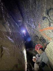
Fault Caves
Golden, Colorado
16.1 miles SRare fault-formed caves above Golden with tight, winding tunnels — a challenging adventure for experienced cavers.
Cave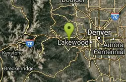
Braille Trail / Beaver Brook Trail
Golden, Colorado
17.8 miles SA flexible trail system close to Denver's front range, offering loops from easy to very difficult ranging from 4 to 20+ miles along Beaver Brook and the Chavez trail.
Hike
Saint Mary's Glacier
Idaho Springs, Colorado
21.2 miles SWA semi-permanent snowfield in Arapaho National Forest, just 2.5 miles from James Peak — a unique alpine destination in the Colorado Rockies.
Hike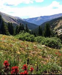
Herman Gulch
Silver Plume, Colorado
35.4 miles SWA dog-friendly 6-mile roundtrip off I-70 that follows a river through spectacular wildflowers in early July and ends at a small alpine lake with mountain views the entire way.
Backpack, Hike
Emmaline Lake
Bellvue, Colorado
43.8 miles NWAn alpine jewel set in a deep mountain cirque at 11,000 feet, fed by three permanent snowfields and ringed by rugged peaks just above timberline.
Hike