


Forks River Access
Hiouchi
Canoe, Hike, Kayak, and Swim
Forks River Access is a free day-use river access and boat ramp in the Smith River National Recreation Area, part of Six Rivers National Forest in Del Norte County, California. It sits at the place locals call the Forks, where the South Fork of the Smith River runs into the main river a mile east of Hiouchi. Congress set aside the recreation area in 1990 to protect the Smith, which the Forest Service describes as the only major undammed, naturally flowing river left in California.
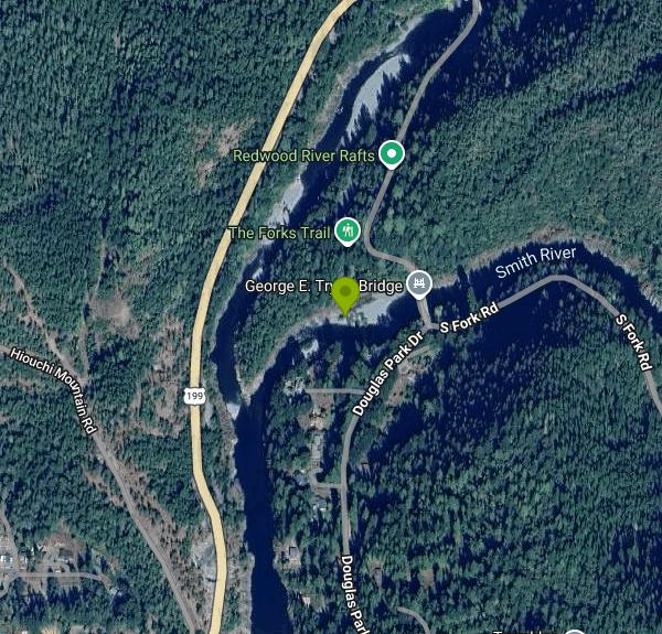
From Crescent City, drive about seven miles east on US Highway 199 and turn right onto South Fork Road at milepost 7.2, across from the Myrtle Beach turnout. The access is a quarter mile in, between the first bridge (over the Middle Fork) and the second bridge (over the South Fork). There is a small asphalt lot with room for roughly ten cars plus a dozen boat trailers, and vault toilets at the trailer lot. There is no drinking water, so bring your own.
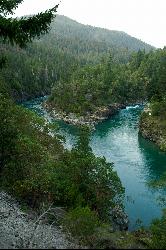
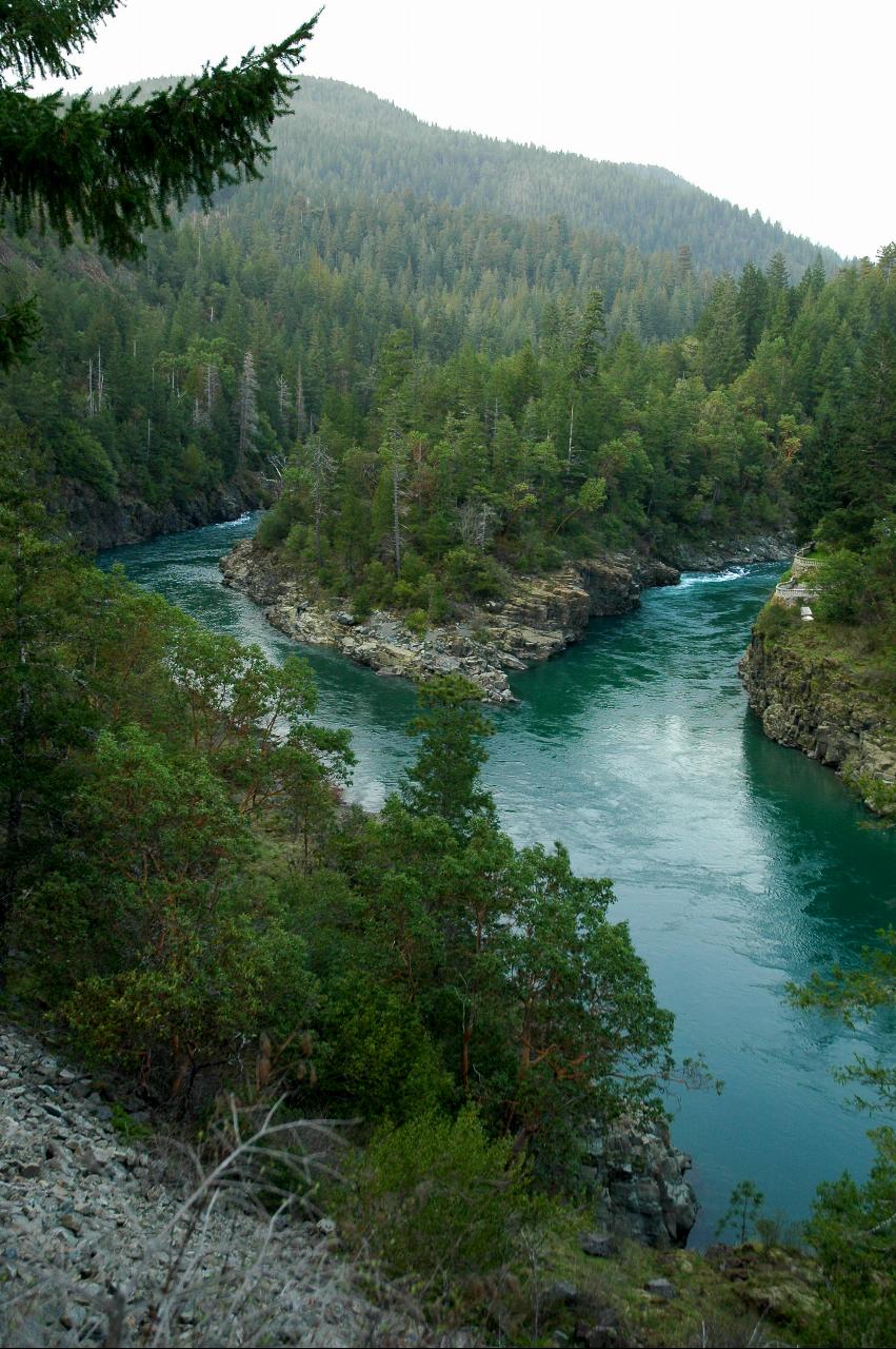
Three short unmaintained paths leave the parking area. The shortest, about 220 feet, drops to a small beach on the Middle Fork facing Myrtle Beach. The most used one runs about 670 feet southeast to a wide sand and pebble beach on the South Fork beside the second bridge, which locals call Second Bridge; a rope swing hangs from the span and people jump from the rock ledges into the deeper pools. Upstream of the beach the South Fork is calm enough in summer to paddle half a mile into a rock-walled gorge. A third path, about 990 feet, leads out to rock cliffs above the confluence itself, with flat slabs and patches of sand for sitting and a scramble down to the water.
There is no fee and no pass is required, and the site is day use only with no overnight camping. Swimming season is summer, when flows drop and the water clears to green. Even then the river runs cold enough that the Forest Service suggests a wetsuit for paddlers, and there are no lifeguards.
The Smith rises fast. The area averages more than 90 inches of rain a year, mostly from October through April, and the Forest Service warns that river levels can change dramatically in a short time and that fast current can quickly sweep a child downstream. Check the depth yourself before any jump or dive, because winter floods move gravel and change the pools from one summer to the next, and expect slick rock along the banks. Cold-water hypothermia is a real risk outside midsummer. Fireworks are always prohibited in the forest, and seasonal fire restrictions apply.
The boat ramp is the usual put-in for the easy float from the Forks down to the Hiouchi Bridge in Jedediah Smith Redwoods State Park, though the concrete only reaches the water at high flows, so expect to drag over cobbles. The Craigs Creek Trail heads up the South Fork from nearby, and some of the recreation area's biggest redwoods grow on the slope above the parking lot. Anglers need a California fishing license. The recreation area's visitor center is about eight miles farther east in Gasquet at 10600 US Highway 199, (707) 457-3131, and Hiouchi has a gas station, a store and a restaurant.
More Information
Be courteous, informed, and prepared. Read trailhead guidelines, stay on the trail, and don't feed the wildlife.
Read More
- Plan Ahead and Prepare
- Travel & camp on durable surfaces
- Dispose of waste properly
- Leave what you find
- Minimize campfire impacts
- Respect wildlife
- Be considerate of other visitors
Directions
From Hiouchi
- Head east on US-199 N toward Cable Rock Rd (1.5 mi)
- Turn right onto S Fork Rd (0.5 mi)
- Turn right onto Douglas Park Dr (213 ft)


Other Swimming Holes, Hiking Trails, Canoeing Areas, and Kayaking Areas Nearby
Fern Canyon
Orick, California
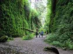
27.4 miles SA lush, fern-draped canyon in Prairie Creek Redwoods featured in Jurassic Park — just 1 mile of trail with stream crossings, elk on the 8-mile dirt road approach, and a vault toilet at the trailhead.
Hike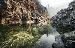
Clear Creek
Happy Camp, California
31.8 miles ECrystal-clear pools in a beautiful, secluded canyon near Happy Camp — two swimming areas, the second with slightly easier access, and light crowds all summer.
Swim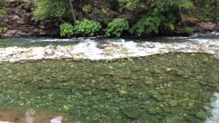
Indian Creek, South Fork
Happy Camp, California
32.6 miles EIndian Creek's South Fork swirls through several natural Jacuzzi-like eddies, with a popular calm pool right after the bridge that's gentle enough for any swimmer.
Swim 1.3 mi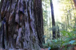
Lady Bird Johnson Grove Trail
Orick, California
34.1 miles SA short, quiet 1.5-mile round-trip trail through towering redwoods at 1,200 feet, often in the clouds, dedicated to Lady Bird Johnson by President Nixon in 1969.
Hike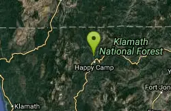
Happy Camp Area
Happy Camp, California
34.7 miles ESwim near Happy Camp, California
Swim
The Eddy
Happy Camp, California
34.7 miles EA popular family swimming hole and tubing spot on a Klamath River tributary near remote Happy Camp, California — uncrowded thanks to the town's off-the-beaten-path location.
Swim
Elk Creek Holes
Happy Camp, California
36.2 miles EThese swimming holes are found along the Elk Creek. If willing to hike around and explore, there are several different spots that visitors can stop and take a swim.
Swim
Illinois Hidden Access
Selma, Oregon
36.3 miles NEA 30-foot waterfall and spectacular swimming hole deep in the Rogue River canyon — accessed via a 9-mile round-trip hike on a hot, dry, difficult trail; bring plenty of water and be prepared for a workout.
Camp, Hike, Mountain Bike, Swim


