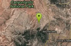
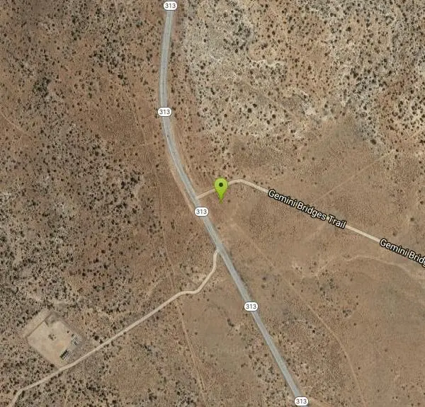
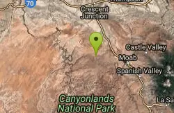
Gemini Bridges
Moab, Utah
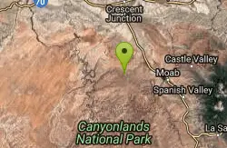
| Address: | ~Gemini Bridges Trail, Moab, UT 84532, USA |
| GPS: |
38°36'9.1"N 109°48'56.3"W Maps | Directions |
| State: | Utah |
| Trail Length: | 13.00 miles |
| MTB Difficulty: | Intermediate |
| Trail Type: | Other |
| MTB Trail Type: | 4x4 Trail |
Mountain Bike
Start down the gravel road. At mile 3.8 take a right.. At mile 4 take another right. At mile 4.7 stay straight on the main road. At mile 5.8 you will see a sign that says Gemini bidges, go off the road and follow lines and the signs to 2 breathtaking arches spread out across a canyon. Take a break, have lunch, and look around. After lunch get back on the road and take a right. Ignore all spurs.atmiles 7.5 and8.3, stay left.at mile 8.5 stay left. After a steep rocky descent at mile 9.1 tak a left. Stay on this road the rest of the way. at mile 10.8 a climb will start, and then you will descend to the first trailhead that you saw, I hope you remembered to put a shuttle car there. Courtesy of Singletracks.com
More Information
Never modify trail features. Ride trails when they're dry enough that you won't leave ruts. Speak up when you see others on the trail and always yield to hikers, horses, and others coming uphill. Always ride on the established trail.
Read More- Plan Ahead and Prepare
- Travel & camp on durable surfaces
- Dispose of waste properly
- Leave what you find
- Minimize campfire impacts
- Respect wildlife
- Be considerate of other visitors
Directions
From Moab, Utah
- Head west on E Center St toward N Main St (266 ft)
- Turn right onto US-191 N/N Main StContinue to follow US-191 N(11.0 mi)
- Turn left onto UT-313 W (10.7 mi)
- Turn left onto Gemini Bridges TrailDestination will be on the right(190 ft)
Other Mountain Bike Trails Nearby
Bull Run
Moab, Utah
1.0 miles NEThe upper leg of the Mag 7 route with great views, wicked exposure, and plenty of slickrock — less technical than the lower sections but still a thrilling ride.
Mountain Bike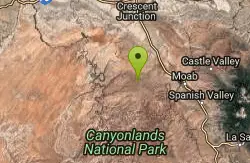
Horsethief Campground
Moab, Utah
1.2 miles SA new network of loops at Horsethief Campground near Moab — the first trails are complete, with longer connections to other area trails still in progress.
Mountain Bike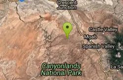
Navajo Rocks
Moab, Utah
1.3 miles SA brand-new 9-mile intermediate loop of slickrock, sandy singletrack, and unique rock formations — with acres of cryptobiotic soil to keep pristine.
Mountain Bike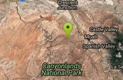
Horsethief Trail System
Moab, Utah
1.3 miles SA network of loops and trails near Navajo Rocks, 7 Up, and Mag 7 in Moab, including the 7-mile point-to-point Chisholm Trail.
Mountain Bike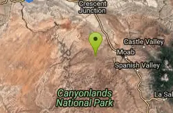
Chisholm
Moab, Utah
1.8 miles SEOne of the most flowy trails in the Moab area — sandstone and dirt through pinon-juniper forest with rock work, narrow ledges, and a wooden bridge.
Mountain Bike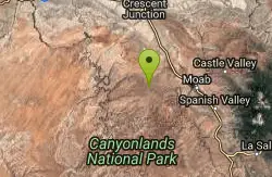
Mag 7
Moab, Utah
2.3 miles SESeven trails combining singletrack and 4x4 roads through classic Moab terrain — Bull Run, Gold Bar, Golden Spike, Poison Spider, Portal, and more await.
Mountain Bike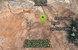
7 Up
Moab, Utah
2.6 miles SEA highly scenic Moab route mixing singletrack and doubletrack from the Magnificent 7 trailhead to the Monitor/Merrimac overlook — rideable in either direction as a shuttle or out-and-back.
Mountain Bike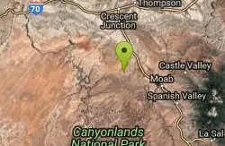
Coney Islands
Moab, Utah
2.9 miles NEAn intermediate Moab ride with a 6% average grade, short steep pitches up to 20%, and a high point of 5,610 feet with some technical difficulty.
Mountain Bike
Big Mesa
Moab, Utah
2.9 miles NEA technical 9-mile mountain bike loop with cliff-wall climbs, rock ledges, and slickrock slabs — part of the Navajo Rocks Trail System near Moab, Utah.
Mountain Bike
Big Lonely
Moab, Utah
2.9 miles NEAn intermediate Moab ride across a sandstone ridge and cross-country dirt with a 45-degree slickrock climb — highest point at 5,600 feet with a 250-foot elevation range.
Mountain Bike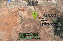
Getaway
Moab, Utah
3.0 miles EA singletrack connector near the upper end of Gemini Bridges Road in Moab — works as an alternate Mag 7 start, a 4x4 road loop, or a standalone out-and-back ride.
Mountain Bike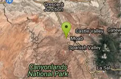
Gold Bar Rim
Moab, Utah
7.7 miles EA rugged Moab Jeep trail with sand and step-ups along the rim — connects to Poison Spider or Portal Trail for a one-way shuttle adventure.
Mountain Bike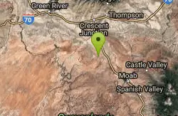
Bartlett Wash
8.1 miles N
Easy aerobic access to a huge expanse of slickrock with ledges to drop, bowls to ride, and open views — explore freely and make your way back at your own pace.
Mountain Bike
Bar M Loop
Moab, Utah
8.5 miles NEEasy slickrock sections, small drops, and sweeping views into Arches National Park make the Bar M Loop in Moab a perfect introduction to desert mountain biking.
Mountain Bike
Rockin' A
Moab, Utah
8.6 miles NEOnly 1.5 miles, Rockin' A mixes singletrack and slickrock in the Moab Brands trail system, with views of Arches National Park at every turn.
Mountain Bike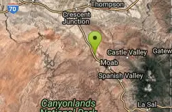
North 40
Moab, Utah
8.6 miles NEA 4-mile mix of rock and dirt singletrack near Moab for advanced and advanced-intermediate riders — painted markers show the way through fun climbs and descents on the Brand trails front side.
Mountain Bike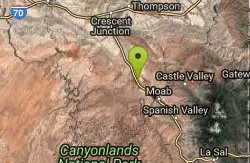
Circle O Trail
Moab, Utah
8.6 miles NEOne hundred percent slickrock on Entrada sandstone right next to Arches National Park — follow the painted tire marks and enjoy the scenery at this easy Moab classic.
Mountain Bike
Deadman's Ridge
Moab, Utah
8.6 miles NEThe most technical trail in the Moab Bar M network — a 3-mile mix of slickrock, hardpan, tight switchbacks, and short technical climbs and drops with connector options to the Bar B trail.
Mountain Bike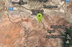
Hidden Canyon-blue Hills Loop
8.7 miles N
A clockwise loop combining Hidden Canyon 4x4 road and Blue Hills road — a GPS track is invaluable for navigating the many junctions on this Utah mountain bike trail.
Mountain Bike
Maverick
Moab, Utah
8.8 miles NEA short, flowy 0.4-mile dirt singletrack with berms and swooping descents connecting North 40 on both ends — a highlight of Moab Brand worth every pedal stroke.
Mountain Bike