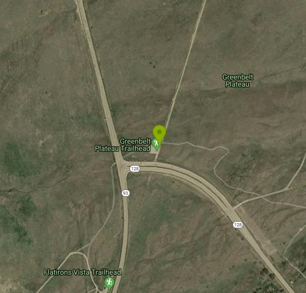
Greenbelt Plateau

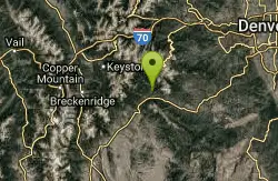
| Address: | ~Hwy 93 & Hwy 128, Colorado 80303, USA |
| GPS: |
39°55'44.3"N 105°13'58.9"W Maps | Directions |
| State: | Colorado |
| Trail Length: | 3.00 miles |
| MTB Difficulty: | Beginner |
| Trail Type: | Out & Back |
| MTB Trail Type: | Fire Road |
Mountain Bike
An extremely mild, easy trail. Gentle climbs and descents on coarse gravel that's very stable. Extremely few rocks. A good trail for teaching your kids to ride off the road, or for a newly converted roadie.The trail ends at Highway 93, where you can connect to Community Ditch (if you head west, be careful crossing the highway) or the Marshall Mesa trails. There's also a connector trail shortly before the end that will lead to the eastern section of Community Ditch. Courtesy of Singletracks.com
More Information
Add ResourceNever modify trail features. Ride trails when they're dry enough that you won't leave ruts. Speak up when you see others on the trail and always yield to hikers, horses, and others coming uphill. Always ride on the established trail.
Read More- Plan Ahead and Prepare
- Travel & camp on durable surfaces
- Dispose of waste properly
- Leave what you find
- Minimize campfire impacts
- Respect wildlife
- Be considerate of other visitors
Directions
- Get directions on Google Maps
Other Mountain Bike Trails Nearby
Flatirons Vista
0.0 miles NW
A quick, easy, smooth trail. Good for testing out new tires or pedals, but not great for pounding out a lot of miles. You can use this to connect to Dowdy Draw, Community Ditch,...
Mountain Bike
Doudy Draw Trail
Boulder, Colorado
1.4 miles NW1.7 mile + 0.5 mile to intersection with Community Ditch Trail. Meanders southward along the draw to the junction with the South Spring Brook Loop Trail (2.3 miles). After the Spring...
Mountain Bike
Marshall Mesa Area
Boulder, Colorado
1.7 miles NSome single, some doubletrack. Not too much climbing and nothing technical at all, but makes a great night ride.
Mountain Bike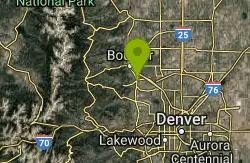
Dirty Bismarck
Boulder, Colorado
1.7 miles NA mountain bike version of the classic Morgul-Bismarck loop. The ride is a mix of smooth gravel road-type riding and some mild singletrack; this is an easy ride from a technical...
Mountain Bike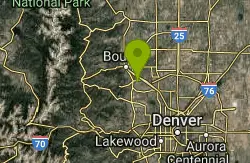
Coalton Trail
Boulder, Colorado
2.1 miles NEThis is a very mild trail from a technical standpoint, and is mostly flat other than one very steep (though short) hill. This trail isn't anything special, but it can be used to link...
Mountain Bike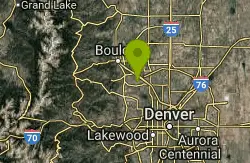
High Plains Trail
Superior, Colorado
3.5 miles EThis is a new section of singletrack that flows across the high plains West of Superior that opened this Spring (2007). There's nothing technical as the trail rolls through the plains...
Mountain Bike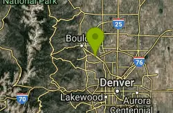
Marshall Road Open Spaces
Superior, Colorado
3.8 miles NEThis trail is fairly easy except for the first climb. Take a look at the trailhead for the route you would like to take. The trail changes in several directions and make sure you...
Mountain Bike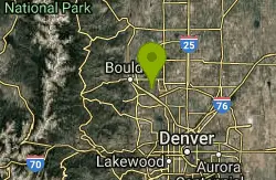
Davidson Mesa
Louisville, Colorado
4.9 miles NEThis is a small network of trails that you can link together in various ways. Most of it is pretty tame, including the steepest trail that goes off the mesa. A good ride for kids....
Mountain Bike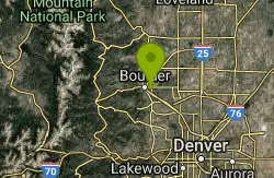
CU Dirt Jumps
Boulder, Colorado
5.6 miles NThis .75 mile network of singletrails / doubletrails contains numerous dirt jumps that are scattered throughout the area. It keeps me excited and interested for countless hours, and has...
Mountain Bike
Colorado Hills Trail
Westminster, Colorado
6.4 miles SEFrom trailhead head west, climbing a false flat. After a quick downhill you'll see a small reservoir. Head through the narrow gate and make a loop around the lake, then head back....
Mountain Bike
Chapman Drive
Boulder, Colorado
6.6 miles NA somewhat steep 940 ft elevation gain climb up the backside of Flagstaff Mountain along a disused, double track, 1930's era Civilian Conservation Corps dirt road. Highlights include...
Mountain Bike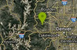
Mountain Lion Trail
Golden, Colorado
9.6 miles SWIt is recommended to ride this route clockwise (due to several steep sections that are better ridden on the descent).From the trailhead, pick up the Mountain Lion trail (starts at the...
Mountain Bike
Bald Mountain Trail
Boulder, Colorado
10.0 miles NWThe trail is short with a really steep section, that is also short... Ride the trail CCW, about 10 times. Going CW there is a 5 foot technical section that is tough because you're...
Mountain Bike
North Table Mountain
Golden, Colorado
10.2 miles SThis trail alternates between doubletrack and singletrack as the figure 8 loops up and around the Table Mountain mesa. Signage is a work in progress as of June 2010 so grab a map at the...
Mountain Bike
Coal Creek Trail
Erie, Colorado
11.8 miles NEThe trail is a 10 foot wide graded path that runs along Coal Creek. The trail is lined by trees most of the way, goes by a golf course, and is rather serene. It's not technical in any...
Mountain Bike 0.1-0.9 miClear Creek Whitewater Park
Golden, Colorado
12.0 miles SDedicated in 1998 and located in Golden, Colorado, Clear Creek Park is one of the most unique parks in Colorado filled with water activities such as kayaking and canoeing. It reaches a quarter...
Canoe, Hike, Kayak, Mountain Bike, Swim, Whitewater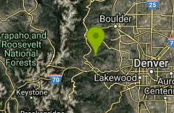
Golden Gate Canyon State Park
Golden, Colorado
12.3 miles SWWe rode Blue Grouse then took a right on Mule Deer some nice singletrack and kinda technical. You'll eventually get to some campsites just follow the signs for Mule Deer, from here go...
Mountain Bike
Boulder Valley Ranch
Boulder, Colorado
12.8 miles NA working cattle ranch that has multiple trails - some are open to bikes. Combination dirt road, doubletrack, and singletrack. There is a lot of singletrack along the dirt roads. One...
Mountain Bike
Centennial Cone Park
Golden, Colorado
14.7 miles SWThis Jefferson County Open Space Park is only about 10 miles from Idaho Springs.The remains of many ranches and homesteds are scatterd across this Open Space Park. When completed the...
Mountain Bike
Apex Park
Golden, Colorado
14.8 miles SFrom the Heritage Square parking lot, take Apex trail west into Apex gulch. Take a right onto the first trail that branches off about a mile up. This is the Pick n' Sledgetrail. Follow...
Mountain Bike