


Hamlin Beach State Park
Hamlin
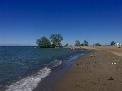
Camp, Hike, Kayak, and Swim
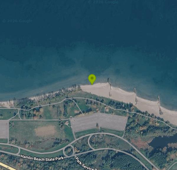
Hamlin Beach State Park covers 1,287 acres of Lake Ontario's south shore in the Town of Hamlin, Monroe County, a few miles north of the hamlet of Hamlin and west of Rochester. The Lake Ontario State Parkway runs straight through the park, and from the day-use entrance a park road follows the top of a low bluff past a string of numbered parking areas. From those lots it is a short walk across grassy, tree-shaded lawns and past picnic shelters down to a long sand beach broken up by rock jetties that reach out into the lake.
This is open Great Lakes water with nothing but horizon to the north. The park allows swimming only at its guarded beach areas and only while lifeguards are on duty. For 2026 the posted schedule ran from June 20 through Labor Day, daily from 11 am to 6:45 pm, weather and conditions permitting. Away from the guarded sections and outside those hours you can still walk the sand, but the water is off limits. Pets are not allowed on the beach.
Check water quality before you drive out. State Parks tests the swimming beaches for E. coli, and the Lake Ontario Waterkeeper's Swim Guide tracks three sampling stations here (H3, H3A and H4A), each of which has passed between 60 and 95 percent of the time. Closures happen most summers. In July 2025 section H3A was shut for several days after a high E. coli result, and in early August 2026 the Democrat and Chronicle reported all three swimming beaches closed at once for bacteria. The park posts daily swimming updates on its State Parks page, and the park office number is 585-964-2462.
The vehicle entrance fee is $9 (buses pay $35). It is collected from 9 am to 5 pm, daily from June 18 through Labor Day and on weekends and holidays from mid-May to Columbus Day. The $80 Empire Pass covers entry here and at most other state parks.
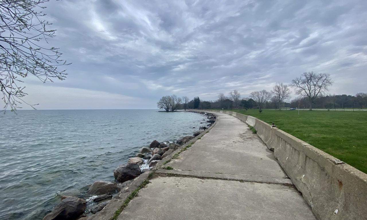
The shoreline has been rebuilt more than once. Storm erosion in the 1970s led to state and federal beach rebuilding and the jetties you see today. Record high lake levels in 2017 and 2019 took more of the shore, and a $6.7 million resiliency project finished in May 2026 reshaped the lakefront promenade into a winding path with native plantings, rip-rap, boulders and cobbles placed to absorb waves and steer floodwater.
The park's history is still on the ground. Monroe County bought the land in 1929 and the state took it over in 1938. Young men of the Civilian Conservation Corps lived in a camp off Moscow Road from 1935 to 1941 and built much of the park, including the stonework and the 1939 sandstone bathhouse. From 1944 to 1946 the same camp held German prisoners of war who worked on area farms and in canning factories. Volunteers with the Friends of Hamlin Beach cleared the site, and a self-guided trail with numbered posts now leads you through it.
Nearby, the one-mile Yanty Creek Nature Trail loops through marsh at the east end, a paved shoreline trail runs along the lake past the beaches, and the Devil's Nose bluff at the west end drops close to 80 feet to a shoal where several ships wrecked between 1799 and 1869. The campground has 264 tent and trailer sites open from mid-May to mid-October, and paddlers can use the hand launch north of the Area 1 lot or a car-top launch near Yanty Creek.
More Information
6 New York state beaches closed for swimming: See the list
Six swimming beaches at state parks are closed because of water quality or other concerns.
https://www.yahoo.com/news/weather-news/articles/6-york-state-beaches-closed-184411357.htmlHamlin Beach (H3A) - Swim Guide
Hamlin beach has clear water and sandy beaches. The hiking/biking trails stretch over 10km and it is home to the lovely mile-long Yanty Creek Marsh area. There is a tent and trailer camping area, fishing, picnic facilities and a car-top boat launch.
https://www.theswimguide.org/beach/7418Hamlin Beach reopens after closing due to high bacteria levels - WHEC.com
Part of Hamlin Beach is closed on Wednesday because of elevated levels of the bacteria E. coli.
https://www.whec.com/top-news/part-of-hamlin-beach-closed-due-to-high-baceteria-levels/Hamlin Beach State Park redesign project aims to prevent further shoreline erosion | WXXI News
Construction is slated to start next spring on a shoreline reinforcement project at Hamlin Beach State Park.
https://www.wxxinews.org/local-news/2024-08-20/hamlin-beach-state-park-redesign-project-aims-to-prevent-further-shoreline-erosionHamlin Beach State Park revamps historic lakefront after erosion and flooding
Hamlin, N.Y. — Just in time for summer, a major improvement project is finished at Hamlin Beach State Park.The $6.7 million resiliency project revamped the park
https://13wham.com/news/local/hamlin-beach-state-park-revamps-historic-lakefront-after-erosion-and-flooding-memorial-dayWayback Machine
The Wayback Machine - https://web.archive.org/web/20260726053603/https://parks.ny.gov/sites/default/files/HamlinBeachCCC-CampRestorationProjectSelfGuidedTour.pdf
https://web.archive.org/web/20260726053603/https://parks.ny.gov/sites/default/files/HamlinBeachCCC-CampRestorationProjectSelfGuidedTour.pdfBe courteous, informed, and prepared. Read trailhead guidelines, stay on the trail, and don't feed the wildlife.
Read More
- Plan Ahead and Prepare
- Travel & camp on durable surfaces
- Dispose of waste properly
- Leave what you find
- Minimize campfire impacts
- Respect wildlife
- Be considerate of other visitors
Directions
From Hamlin
- Head east on 185th St toward 452nd Ave (3.5 mi)
- Turn left onto US-81 N (2.0 mi)
- Turn right onto SD-22 E (32.6 mi)
- Turn left onto SD-101 N (236 ft)
- Turn right onto 182nd St (0.3 mi)
- Continue onto Co Rd E3Entering Minnesota(1.6 mi)
- Turn left onto 120th St (3.0 mi)
- Turn right onto 270th Ave (11.0 mi)
- Continue onto MN-67 E (31.1 mi)
- Turn right onto US-212 E/
Yellowstone Trl Pass by Subway (on the right in 1.1 mi)(60.0 mi) - At the traffic circle, take the 2nd exit onto US-212 W/
Yellowstone Trl (12.8 mi) - At the traffic circle, take the 2nd exit onto US-212 E/
Yellowstone Trl (11.8 mi) - Continue onto US-212 E/
Yellowstone Trl (1.7 mi) - Slight right (0.5 mi)
- Keep right (0.6 mi)
- Slight right onto US-212/
Yellowstone Trl (22.8 mi) - Take the I-494 E/
MN-5 E exit (0.2 mi) - Take the ramp onto I-494 E/
MN-5 E (10.4 mi) - Keep left to continue on I-494 E (16.1 mi)
- Take the exit onto I-94 EEntering Wisconsin(248 mi)
- Keep right to continue on I-90 EToll roadEntering Illinois(103 mi)
- Keep left to stay on I-90 EToll road(24.5 mi)
- Keep left to stay on I-90 EToll roadParts of this road may be closed at certain times or days(17.4 mi)
- Keep right to continue on I-90 E/
I-94 E (4.8 mi) - Keep left to continue on I-90 E, follow signs for Indiana Toll RdToll roadPassing through IndianaEntering Ohio(306 mi)
- Continue straight onto I-80 EToll road(9.2 mi)
- Take exit 151 to merge onto I-480 E toward Cleveland (9.8 mi)
- Take exit 11 toward Cleveland (0.8 mi)
- Merge onto Berea Fwy (0.5 mi)
- Merge onto I-71 N (7.4 mi)
- Take the exit toward I-90 E (1.1 mi)
- Continue onto I-90 E (14.3 mi)
- Take the exit toward I-90 E (0.4 mi)
- Continue onto I-90 E (2.6 mi)
- Keep left to stay on I-90 EToll roadPassing through PennsylvaniaEntering New York(207 mi)
- Take the exit toward NY-98 N/
Oak St/ Oak Orchard Rd Toll road(0.5 mi) - Exit onto NY-98 N/
Oak St/ Oak Orchard Rd toward Albion Continue to follow NY-98 N/(3.5 mi)Oak Orchard Rd - Turn right onto NY-262 E (5.6 mi)
- Turn left onto Byron Rd (1.4 mi)
- Turn left onto NY-237 N (0.5 mi)
- Turn right onto N Bergen Rd (4.5 mi)
- Turn left onto W Sweden Rd (4.6 mi)
- Turn right onto NY-31A E (1.0 mi)
- Turn left onto NY-31 W (1.5 mi)
- Continue straight onto Redman Rd (9.1 mi)
- Turn right onto Moscow Rd (0.9 mi)
- Turn left (0.5 mi)
- Slight left onto the ramp to Hamlin Beach State Park/
Park Entrance (0.6 mi) - Continue onto Hamlin Beach State Park/
Park Entrance (0.2 mi) - At the traffic circle, take the 1st exit onto Hamlin Beach State Park/
Park Service Rd (1.1 mi) - Turn right (390 ft)
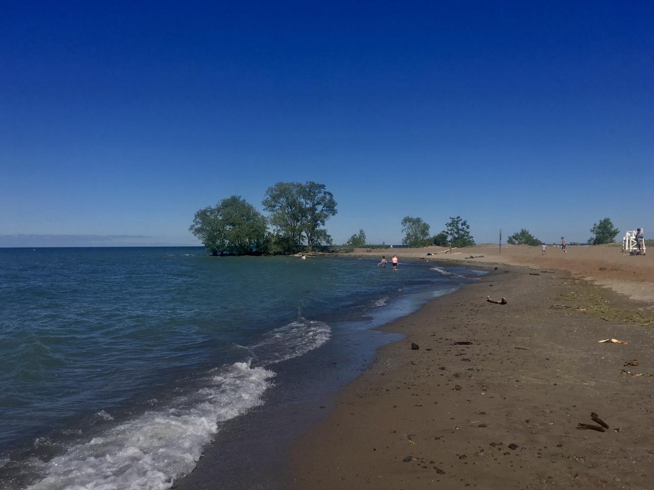
 Visitors wading in Lake Ontario at Hamlin Beach on a sunny early-summer day courtesy of Andre Carrotflower↗ (CC BY-SA 4.0↗)
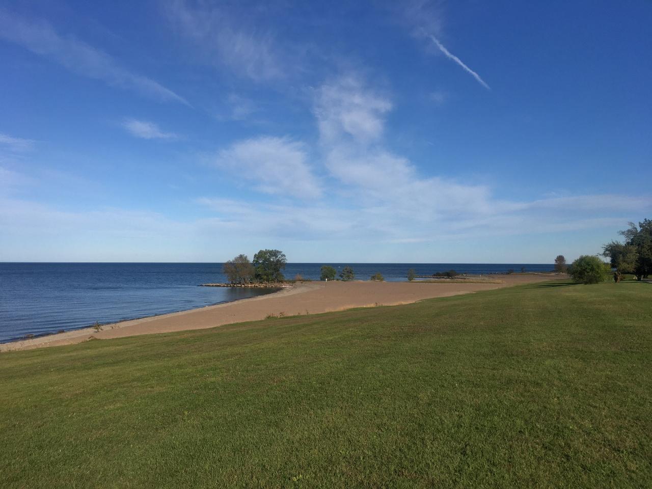
 Looking northeast across the beach and Lake Ontario courtesy of Andre Carrotflower↗ (CC BY-SA 4.0↗)
 Looking west along the beach toward the western end of the park courtesy of Andre Carrotflower↗ (CC BY-SA 4.0↗)
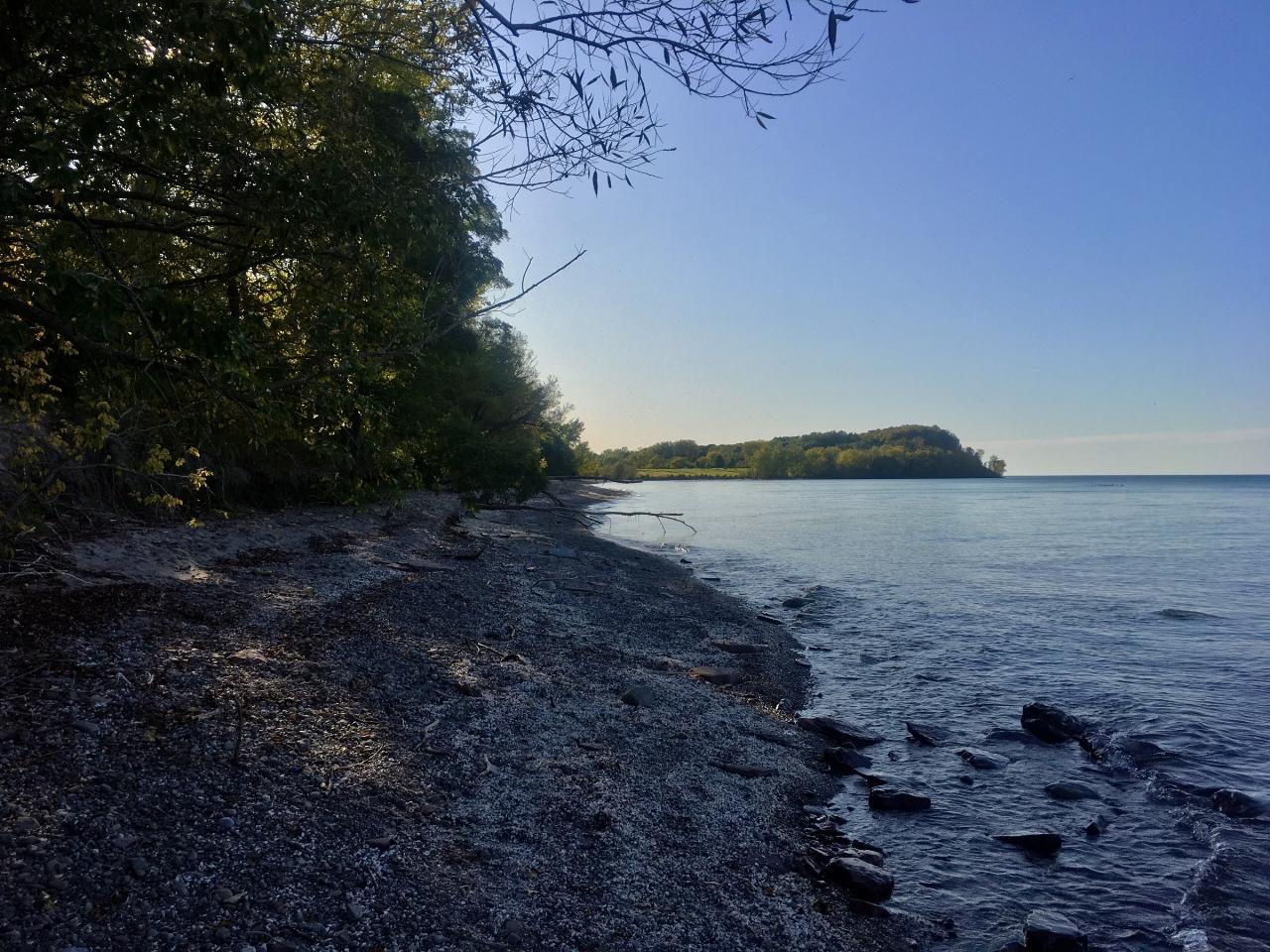
 The beach and lake looking northwest on a spring afternoon courtesy of Andre Carrotflower↗ (CC BY-SA 4.0↗)
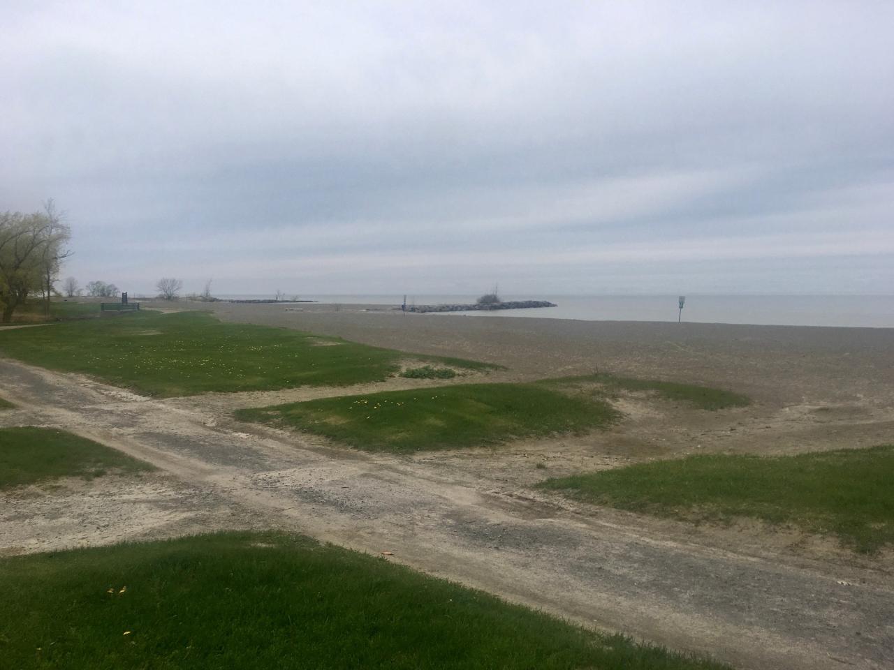
 Looking east along the shore from the end of one of the rock jetties courtesy of Andre Carrotflower↗ (CC BY-SA 4.0↗)
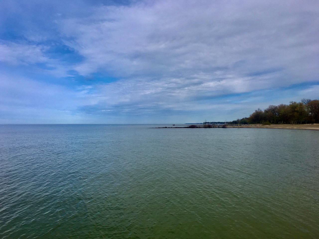 The sand beach on a July evening courtesy of sabreguy29↗ (CC BY 2.0↗)
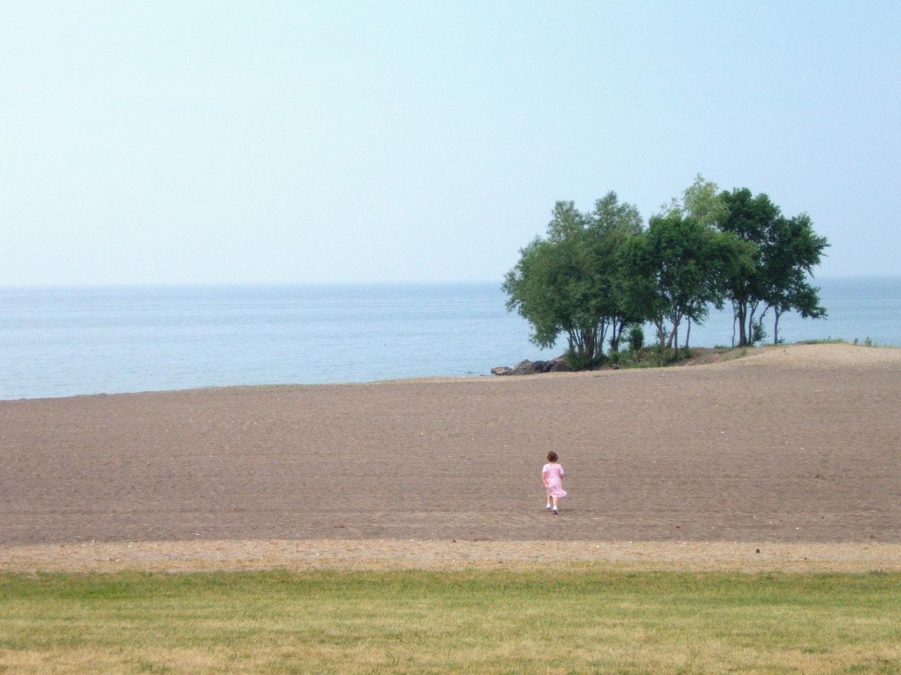 The concrete lakefront walkway near Area 1 on a rainy spring day in 2022 courtesy of Andre Carrotflower↗ (CC BY-SA 4.0↗)
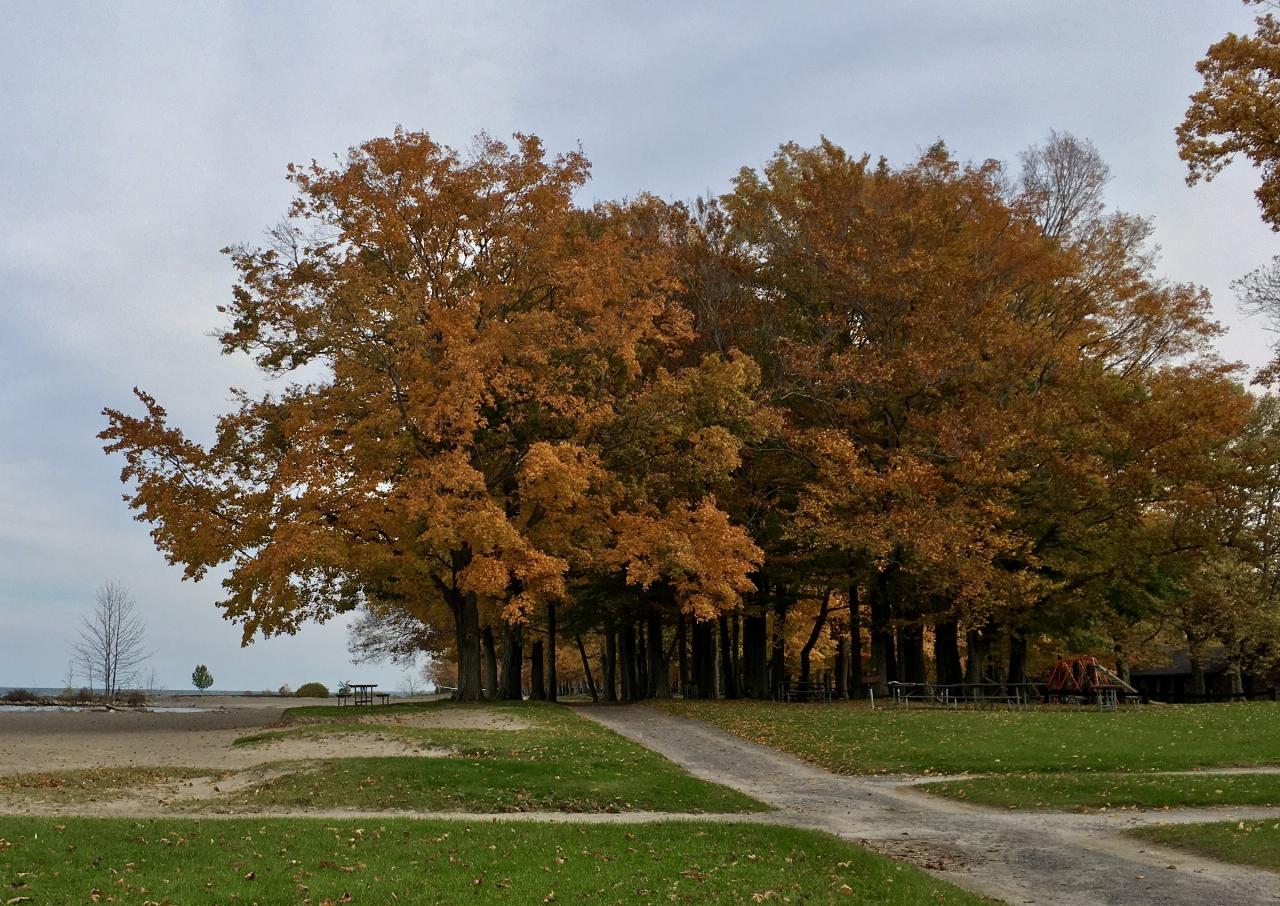
 Autumn color on the bluff above the lake courtesy of Andre Carrotflower↗ (CC BY-SA 4.0↗)
Other Swimming Holes, Hiking Trails, and Kayaking Areas Nearby
George Bridge
Scottsville, New York
26.4 miles SESwim near Scottsville, New York
Swim
Tuscarora Beach
Wilson
44.8 miles WWilson-Tuscarora State Park still has its pebble beach on Lake Ontario, but New York State Parks dropped the guarded swimming beach after the 2021 season and the site is in no state or county bathing beach program. The park stays open year round for hikin
Canoe, Hike, Kayak, Swim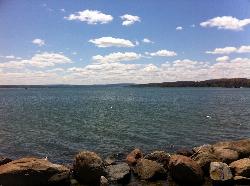
Kershaw Swimming Beach
Canandaigua
49.1 miles SEFree, lifeguarded city beach on the north shore of Canandaigua Lake at Kershaw Park, open daily in summer (May 24 to Aug 21 in 2026). Swimming only in the marked area with guards on duty.
Canoe, Kayak, Swim


