


Tuscarora Beach
Wilson
Canoe, Hike, Kayak, and Swim
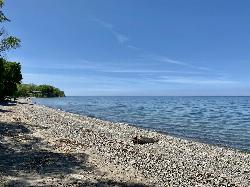
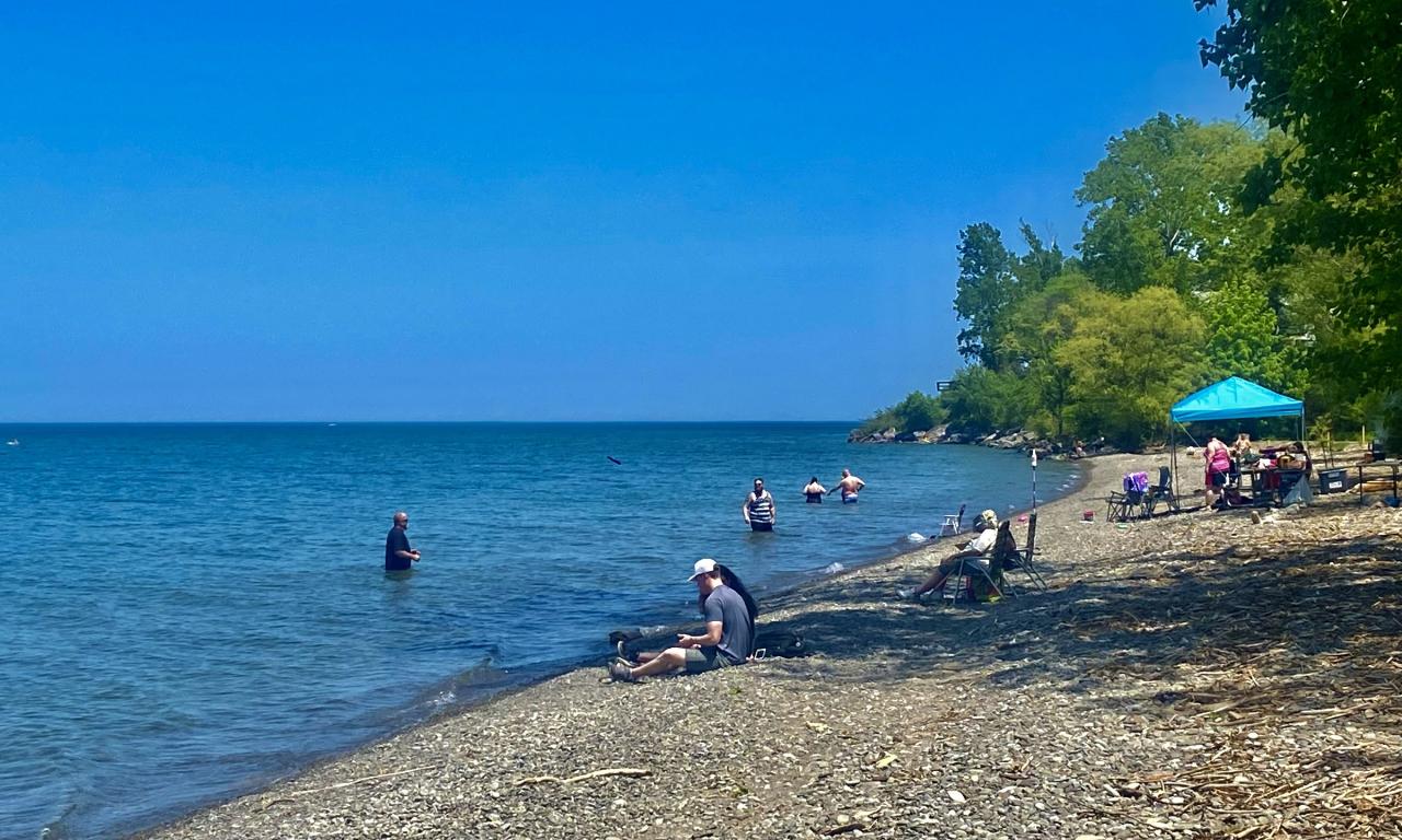
Swimming is no longer a sanctioned activity here. The pebble beach on the Lake Ontario shore at Wilson-Tuscarora State Park is still there and people still walk it, but New York State Parks removed Swimming Beach from the park's amenity list after the 2021 season and has not restored it. The last posted season was June 19 to September 6, 2021, with lifeguards on duty 11 am to 7 pm. The current park page lists no beach, no swimming and no water quality link. There are no lifeguards. Anyone who enters the water here is swimming unguarded, untested and outside the state's bathing beach program.
Three separate checks agree on that. The New York State Parks beach monitoring service covers 73 state park swim areas and names only Beaver Island and Evangola in the Niagara Region. The Niagara County Department of Health beach report, last updated September 1, 2026, lists Olcott Beach as the county's only permitted Lake Ontario bathing beach, and carries Fort Niagara and Four Mile Creek as testing only, no swimming. Wilson-Tuscarora appears on neither list. For a guarded Lake Ontario beach nearby, Olcott is about six miles east on Route 18.
The park itself is open and busy. It sits at 3371 Lake Road on Route 18, roughly a mile and a half west of the village of Wilson and about 19 miles northeast of Niagara Falls. The park office is (716) 751-6361 and the marina is (716) 751-6276. Grounds are open year round, dawn to dusk. New York charges a vehicle use fee of $6 to $10 at most state parks in season, and the Empire Pass at $80 covers day use entry statewide. In the beach years the posted gate rate here was $6 per car and $7 on days when swimming was available.
What remains is 476.5 acres of mature woods, meadow and marsh with a four mile nature trail. The boat launch is $8 a day and runs mid-April to mid-October, 5:30 am to 6 pm, and includes a boat cleaning station. Marina slips are $21 a night transient or $75 per foot seasonal with a 23 foot minimum, and a pump out token is $5. Paddlers launch into Tuscarora Bay, which a spit called The Island separates from the open lake, and rentals come through Niagara Outfitters. Disc golf is available year round. There are reservable pavilions and shelters, a playground, a volleyball court, horseshoe pits and showers. Winter brings snowmobiling, snowshoeing and cross country skiing. Small game and waterfowl hunting is permitted in season with a permit, and the park closes to hunting during big game season. Two pets per group are allowed in day use areas on a six foot leash.
Know the water before you touch it. Lake Ontario off Wilson runs a strong longshore current, and the National Weather Service office in Buffalo posts daily swim risk levels and Beach Hazards Statements for the Niagara County shoreline. The Wilson Harbor channel and its pier structures, just east of the park where Twelvemile Creek reaches the lake, generate their own currents and are the worst place on this stretch to be in the water. Lake temperatures stay cold well into June. There are no swim buoys, no posted testing results and nobody watching.
More Information
Niagara County, NY
The Niagara County Department of Health tests beaches and bathing areas within Niagara County weekly throughout the summer to determine if the water quality could pose a health risk. Testing is also performed at several other locations along the Lake to monitor water quality, and that information may be helpful to residents along the Lake, boaters, and the recreational community. Testing Results will determine whether a swimming area will remain "Open" or designated as "Unsafe to Swim" or "Beach Closed". Results will be posted on this website. Check back regularly for updates.
https://www.niagaracounty.gov/departments/a-f/environmental_health/beach_report.phpBe courteous, informed, and prepared. Read trailhead guidelines, stay on the trail, and don't feed the wildlife.
Read More
- Plan Ahead and Prepare
- Travel & camp on durable surfaces
- Dispose of waste properly
- Leave what you find
- Minimize campfire impacts
- Respect wildlife
- Be considerate of other visitors
Directions
From Wilson
- Head north toward Mercer St SW (62 ft)
- Turn left onto Mercer St SW (256 ft)
- Turn left onto Spruce St SW (420 ft)
- Turn left onto Goldsboro St S (322 ft)
- Turn left onto Hines St SW (0.9 mi)
- Continue straight onto Raleigh Rd Pkwy WPass by Burger King (on the right in 1.6 mi)(5.1 mi)
- Turn right to merge onto I-95 NEntering Virginia(139 mi)
- Keep left to stay on I-95 N (64.9 mi)
- Continue onto I-95 N (25.6 mi)
- Continue straight onto I-395 N (signs for Washington/
I-495 N/ Tysons Corner) (0.7 mi) - Take exit 170B to merge onto I-495 N toward Tysons Corner (8.1 mi)
- Keep left to continue on 495 Express Lanes/
Capital Beltway Inner Lp/ Interstate 495 High Occupancy Toll Toll road(4.3 mi) - 495 Express Lanes/
Capital Beltway Inner Lp/ Interstate 495 High Occupancy Toll turns slightly left and becomes I-495 N/ Capital Beltway Inner Lp Entering Maryland(6.0 mi) - Slight left onto I-270 N (32.3 mi)
- Continue onto US-40 W (1.2 mi)
- Continue onto US-15 NPass by McDonald's (on the right in 59 mi)Entering Pennsylvania(67.5 mi)
- Take the exit onto PA-581 E toward I-83/
Harrisburg/ York (1.4 mi) - Continue onto Capital Beltway/
Harrisburg Expy (0.8 mi) - Merge onto I-83 N/
Capital Beltway (1.2 mi) - Take exit 43 toward Capitol/
2nd St (0.6 mi) - Keep right, follow signs for I-81 and merge onto Paxton St (0.3 mi)
- Turn left onto PA-230 W/
S Cameron St Continue to follow PA-230 WPass by Burger King (on the left in 2 mi)(2.0 mi) - Continue onto US-22 W (0.9 mi)
- Keep left to stay on US-22 W, follow signs for US 322 (13.4 mi)
- Turn right to merge onto US-11 N/
US-15 N toward Selinsgrove/ Williamsport (32.7 mi) - Continue onto Selinsgrove Bypass (signs for US-522 S/
Selinsgrove/ Shamokin Dam) (0.4 mi) - Merge onto US-15 N/
N Susquehanna Trail Continue to follow US-15 NPass by Rita's Italian Ice & Frozen Custard (on the right in 0.9 mi)(6.3 mi) - Take the ramp onto PA-147 (11.7 mi)
- Continue onto I-180 W (28.5 mi)
- Slight right onto US-15 N (signs for Mansfield) (0.4 mi)
- Continue onto I-99/
US-15 N Entering New York(73.3 mi) - Take exit 12 to merge onto I-86 W/
NY-17 W toward Rochester/ Jamestown (23.6 mi) - Keep left to continue on I-390 N, follow signs for Rochester (38.5 mi)
- Take exit 7 for NY-408 toward NY-63/
Geneseo (0.4 mi) - Turn right onto NY-408 N (0.1 mi)
- Continue onto NY-63 N (3.3 mi)
- Turn left onto NY-63 N/
Genesee St (1.3 mi) - At the traffic circle, continue straight onto NY-63 (24.1 mi)
- Turn left onto Main StPass by Mavis Discount Tire (on the left in 0.2 mi)(1.0 mi)
- Turn right onto NY-63 N/
Lewiston Rd Continue to follow NY-63 N(6.1 mi) - Turn right onto Lewiston Rd (2.4 mi)
- Turn left to stay on Lewiston Rd (12.0 mi)
- Turn left onto NY-77 N/
Chestnut Ridge Rd (6.6 mi) - Turn left onto NY-31 W (0.8 mi)
- Turn right onto Cold Springs Rd (0.7 mi)
- Continue onto Old Niagara Rd (2.1 mi)
- Continue onto Stone Rd (2.9 mi)
- Turn right onto NY-93 W (190 ft)
- Turn left onto NY 104 W/
NY-93 W (0.2 mi) - Turn right onto Beebe Rd (6.5 mi)
- Turn left onto Wilson Burt Rd (2.8 mi)
- Continue onto Young St (0.4 mi)
- Turn right onto Lake St (98 ft)
- Turn left onto Pettit St (0.3 mi)
- Turn left onto NY-18 W/
Great Lakes Seaway Trl/ Harbor St Continue to follow NY-18 W/(1.1 mi)Great Lakes Seaway Trl - Turn rightDestination will be on the left(0.4 mi)
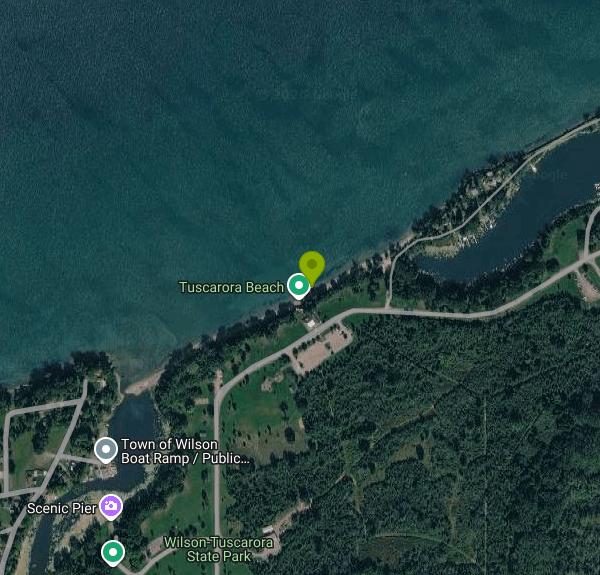 Looking west along the pebble beach on the Lake Ontario shore at Wilson-Tuscarora State Park. courtesy of Andre Carrotflower↗ (CC BY-SA 4.0↗)
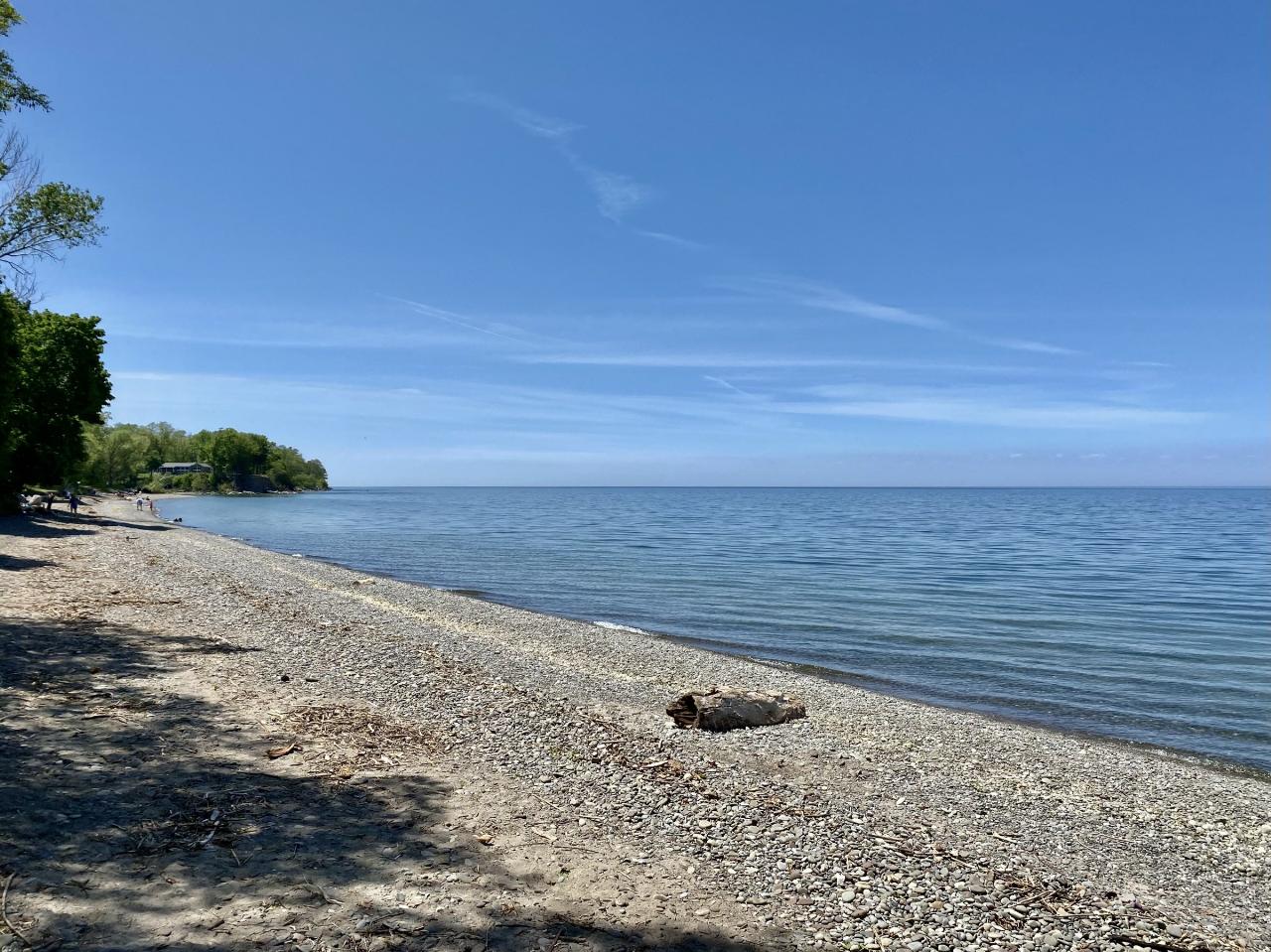
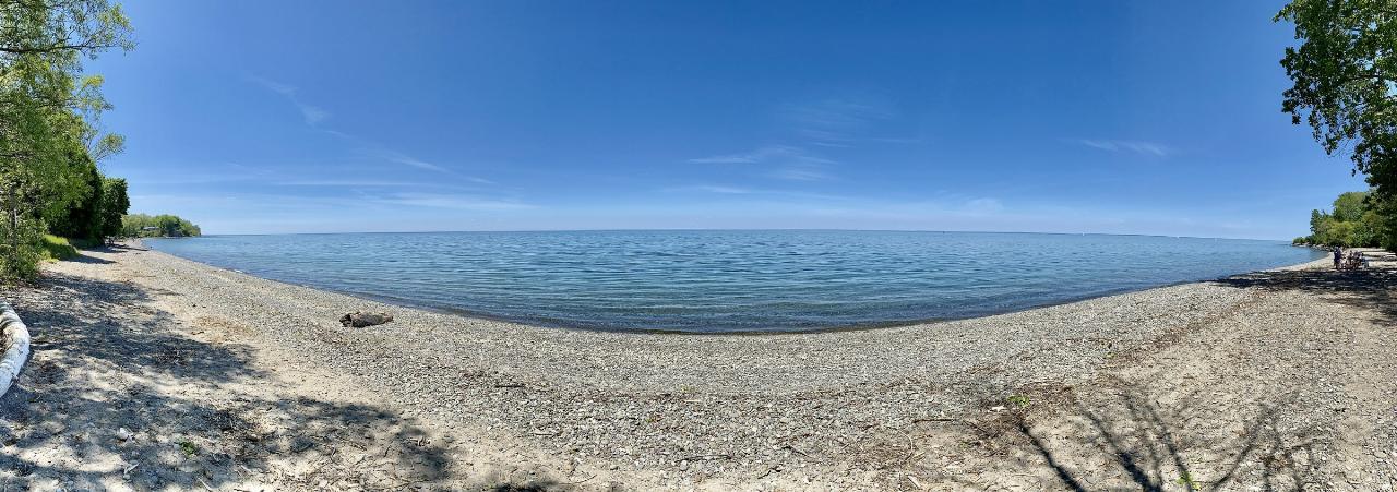
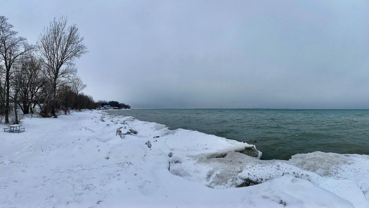
 Panorama of the pebble beach and the open lake at Wilson-Tuscarora State Park. courtesy of Andre Carrotflower↗ (CC BY-SA 4.0↗)
 Visitors spread out on the beach on a warm May afternoon at the park. courtesy of Andre Carrotflower↗ (CC BY-SA 4.0↗)
 The same Lake Ontario shoreline iced over in January. courtesy of Andre Carrotflower↗ (CC BY-SA 4.0↗)
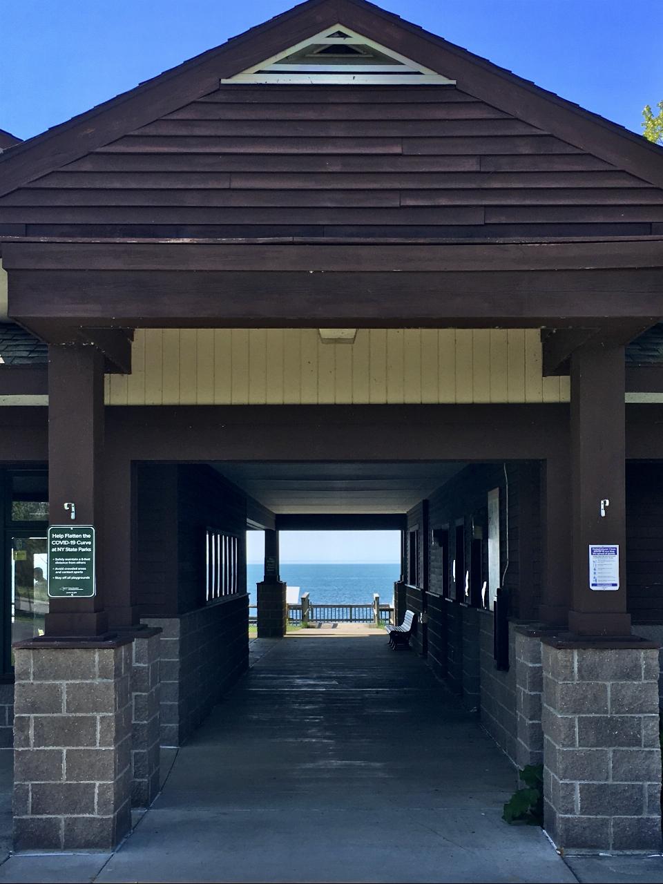
 Looking through a park pavilion toward Lake Ontario. courtesy of Andre Carrotflower↗ (CC BY-SA 4.0↗)
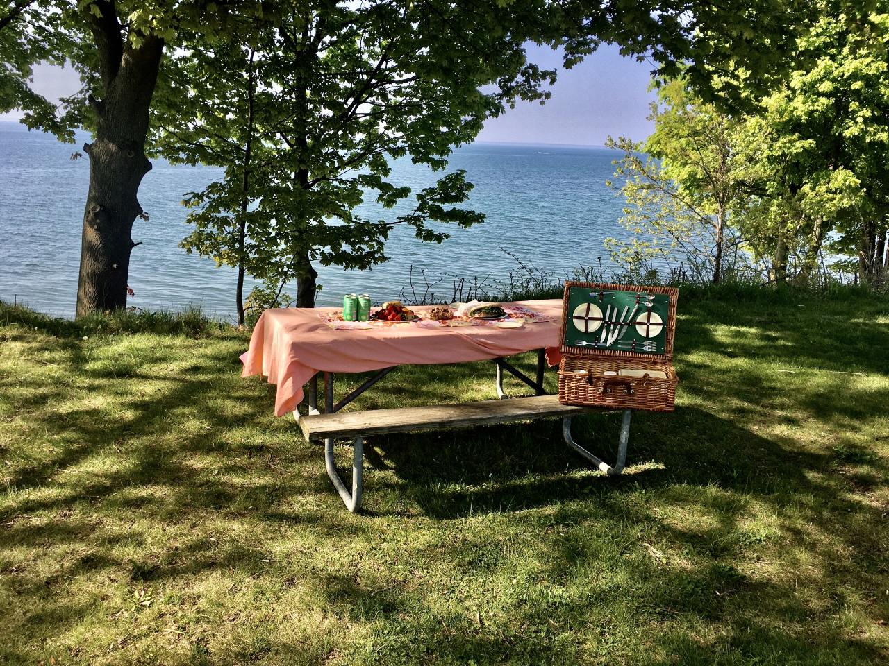
 A lakeside picnic in the day use area above the beach. courtesy of Andre Carrotflower↗ (CC BY-SA 4.0↗)
Other Swimming Holes, Hiking Trails, Canoeing Areas, and Kayaking Areas Nearby
Niagara Gorge - Steel Stairs
Niagara Falls, Ontario
15.7 miles SWThe largest developed bouldering area in southern Ontario, with hundreds of clustered boulders and over 700 established problems ranging from easy to extremely hard — a world away from Niagara Falls tourism.
Cave, Hike
Cave Of The Winds / Niagara Gorge Wooden Stairs
Niagara Falls, Ontario
17.3 miles SWGuided wooden boardwalks and stairs put you within 15 feet of Bridal Veil Falls at the base of Niagara Gorge — expect to be completely soaked on the Hurricane Deck.
Cave, Hike, Mountain Bike, Rock Climb
St. Lawrence Seway Land & Ruins
Niagara-on-the-Lake, Ontario
20.2 miles SWA 37-kilometre multi-use trail running along the 1000 Islands Parkway corridor, concurrent with the Waterfront Trail, from Gananoque to Butternut Bay near Brockville.
Hike, Horseback, Mountain Bike
Secluded Island in the heart of Niagara
Lincoln, Ontario
26.2 miles SWAbout a half-hour paddle into the creek reveals a beautiful, deserted island with a great south-side beach — perfect for a Leave No Trace lunch stop.
Canoe
Short Hills Provincial Park
Pelham, Ontario
26.5 miles SWThe Niagara Region's largest provincial park, built on a glacially formed kame moraine with steep valleys carved by meltwater — a unique geological and natural landscape to explore near Pelham, Ontario.
Canoe, Cross-country Ski, Hike, Horseback, Mountain Bike
Balls Falls Conservation Area
Lincoln, Ontario
29.6 miles SWSpectacular Niagara Escarpment vistas, two waterfalls, wildlife, and interactive conservation exhibits make Ball's Falls a unique eco-tourism experience in Lincoln, Ontario.
Hike
Sherkston Quarry
Port Colborne, Ontario
33.7 miles SWA former quarry lake inside a full-service Lake Erie resort gives swimmers a unique deep-water experience with beach amenities close to Toronto and Buffalo.
Camp, Canoe, Cross-country Ski, Hike, Horseback, Mountain Bike
Beamers Falls Conservation Area
Grimsby, Ontario
37.5 miles WThe highest point of the Niagara Escarpment, Beamer Falls Conservation Area is a beautiful and scenic natural landmark — once part of a local family farm, now preserved for all.
Hike
Wainfleet Quarry
Port Colborne, Ontario
37.6 miles SWA former 1800s limestone quarry on the site of a 300-million-year-old paleozoic sea, now a conservation area with dramatic limestone shores and clear, calm water for sunbathing — no entry fee.
Canoe, Cross-country Ski, Hike, Horseback, Mountain Bike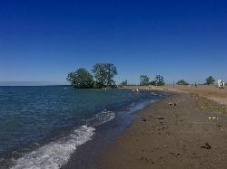
Hamlin Beach State Park
Hamlin
44.8 miles ELifeguarded Lake Ontario beaches in a 1,287-acre state park in Hamlin, NY. Swimming runs from late June to Labor Day, entry is $9 per vehicle, and bacteria closures are common.
Camp, Hike, Kayak, Swim
Eramosa Karst
Hamilton, Ontario
49.2 miles WUnderground caves, streams, meadows, and forests make up this unique conservation area in Hamilton's Stoney Creek — perfect for hiking, nature appreciation, and education.
Cave, Hike 0.3 mi
Albion Falls
Hamilton, Ontario
49.4 miles WA short, 0.5-mile hike to a spectacular tiered waterfall on the Niagara Escarpment near Hamilton — with upper and lower viewing points, family-friendly difficulty, and stunning fall foliage.
HikeNearby Campsites
Sherkston Quarry
Port Colborne, Ontario
33.7 miles SWA former quarry lake inside a full-service Lake Erie resort gives swimmers a unique deep-water experience with beach amenities close to Toronto and Buffalo.
Camp, Canoe, Cross-country Ski, Hike, Horseback, Mountain Bike
Hamlin Beach State Park
Hamlin
44.8 miles ELifeguarded Lake Ontario beaches in a 1,287-acre state park in Hamlin, NY. Swimming runs from late June to Labor Day, entry is $9 per vehicle, and bacteria closures are common.
Camp, Hike, Kayak, Swim


