


44 Hiking Trails near Harden Lake
first prev 1 2 3 next lastShowing Hiking Trails within 50 miles Distance miles of Harden Lake near Big Oak Flat, Yosemite National Park City, Zip, or Address
Lukens Lake
Tuolumne Meadows, Yosemite National Park
2.3 miles SEA short 1.6-mile forest walk to a secluded lake famous for the luminescent shooting stars visible while you swim, plus a wildflower meadow that peaks in July.
Hike, Swim 5.7 mi
Ten Lakes
Tuolumne Meadows, Yosemite National Park
7.3 miles EA 6.4-mile hike from Yosemite Creek to three of the Ten Lakes Basin's seven lakes, through wildflower meadows, forests, and past the Grand Canyon of the Tuolumne, gaining 2,200 feet.
Backpack, Camp, Hike 1.3-1.6 mi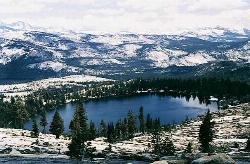
May Lake
Yosemite Valley, Yosemite National Park
8.6 miles EA 2.5-mile roundtrip hike to a scenic 9,270-foot lake at the base of Mt. Hoffmann — with views of Clouds Rest, Half Dome, and Teyana Lake, plus the option to summit the peak for even grander panoramas.
Hike, Swim 2.9 mi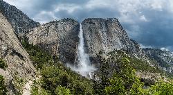
Upper Yosemite Falls
Yosemite Valley, Yosemite National Park
8.7 miles SEThe tallest waterfall in North America at 2,425 feet — a 7.2-mile, 2,600-ft-gain hike to the top of Upper Yosemite Falls with stunning valley views along the way.
Hike 0.8 mi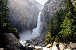
Lower Yosemite Falls
Yosemite Valley, Yosemite National Park
9.0 miles SA short, flat walk to the base of a 3,967-foot waterfall — twice the height of the Empire State Building and one of North America's tallest, best visited in spring or early summer before it dries.
Hike 0.7 mi
Cook's Meadow Loop
Yosemite Valley, Yosemite National Park
9.1 miles SA nearly 1-mile, nearly flat loop in Sentinel Meadow with close-up views of Yosemite Falls, Half Dome, Glacier Point, and Sentinel Rock — Yosemite's best easy walk.
Hike 4.1 mi
North Dome
Yosemite Valley, Yosemite National Park
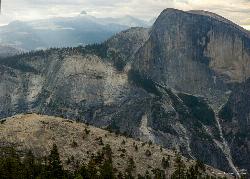
9.2 miles SEA strenuous 10.4-mile hike through Yosemite forest to North Dome, rewarding hikers with the best straight-on view of Half Dome from 7,450 feet — plus a 0.6-mile detour to a 15-foot granite arch.
Backpack, Hike 2.3 mi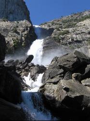
Wapama Falls
Groveland, California
9.2 miles NWA 5-mile moderate hike along the Hetch Hetchy reservoir in Yosemite to 1,000-foot Wapama Falls — cross a dam, walk through a tunnel, and prepare to get sprayed by the mist at the bridge below.
Backpack, Hike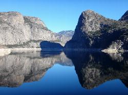
Hetch Hetchy Reservoir
Groveland, California
9.2 miles NWHetch Hetchy's longest hiking season in Yosemite leads across the O'Shaughnessy Dam to Wapama Falls, where you're nearly guaranteed to get sprayed — plus day hikes to Smith Peak at 7,751 feet.
Backpack, Hike 15.9 mi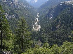
Valley Loop Trail
Yosemite Valley, Yosemite National Park
9.4 miles SAn 11.5-mile loop trail through the heart of Yosemite Valley following the Merced River past wildflower meadows, the Three Brothers, El Capitan, and Bridalveil Falls — with nearly no elevation gain.
Hike 2.1 mi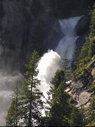
Snow Creek Falls
Yosemite Valley, Yosemite National Park
9.5 miles SEA 2,140-foot, seven-drop cascade tucked deep in Tenaya Canyon — best spotted from the Mirror Lake Loop, where you can also take a swim before hunting for the falls from the Snow Creek Trail junction.
Backpack, Hike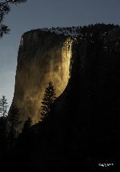
Horsetail Falls
Yosemite Valley, Yosemite National Park
9.8 miles SFor a few weeks in mid-to-late February, Horsetail Falls glows orange with reflected sunset light — a rare 'firefall' phenomenon requiring clear skies and a parking permit.
Hike 4.6 mi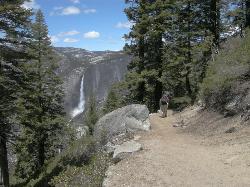
Four Mile Trail
Yosemite National Park
10.0 miles SA 4.7-mile one-way hike connecting Yosemite Valley to Glacier Point with views of Yosemite Falls, Half Dome, El Capitan, and the Royal Arches — best visited in spring when the falls run full.
Hike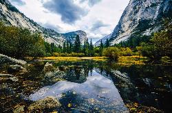
Mirror Lake
Yosemite Valley, Yosemite National Park
10.0 miles SEA paved, car-free trail winds to this seasonal lake at the base of Half Dome, offering a still mirror reflection and a popular summer swimming hole.
Backpack, Hike, Swim 0.2 mi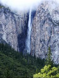
Ribbon Falls
Yosemite Valley, Yosemite National Park
10.0 miles SThe longest single-drop waterfall in North America at 1,612 feet — seasonal and best seen in late morning when the sun hits it directly, visible from El Capitan Road as you enter Yosemite Valley.
Hike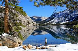
Tenaya Lake
Yosemite Valley, Yosemite National Park
10.4 miles ETenaya Lake's glacier-carved granite shoreline offers a spacious east-beach for swimming, canoeing, and kayaking with stunning Yosemite dome views all around.
Canoe, Hike, Kayak, Swim 0.2 mi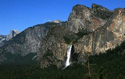
Bridalveil Falls
Yosemite Valley, Yosemite National Park
10.6 miles SA 620-foot waterfall that flows year-round and soaks onlookers with mist — Bridalveil Falls is just a quick half-mile paved walk from the trailhead, wheelchair accessible and pet friendly.
Hike 0.3 mi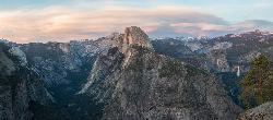
Glacier Point
Yosemite National Park
10.6 miles SPerched at 7,214 feet above Yosemite Valley, Glacier Point delivers bird's-eye views of Half Dome, El Capitan, and multiple waterfalls — accessible by car or a 4.7-mile hike.
Hike 1.9-2.9 mi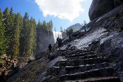
Mist Trail
Yosemite National Park
10.7 miles SEA steep, mist-soaked Yosemite staircase hike climbing 639 stone steps past Vernal and Nevada Falls — with Half Dome, Whitecap, and Mt. Broderick views from the switchbacks above.
Backpack, Hike 1.2 mi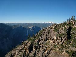
Taft Point
Yosemite Valley, Yosemite National Park
11.1 miles SA 5-mile Yosemite loop pairing Sentinel Dome with Taft Point, offering El Capitan views, dramatic cliff fissures, and 3,000-foot valley vistas — no guard rails, so watch your footing.
Hike


