


Taft Point
Yosemite Valley, Yosemite National Park
| Address: | Yosemite National Park, California, USA |
| GPS: |
37°42'45.8"N 119°36'15.9"W Maps | Directions |
| State: | California |
| Trail Length: | 2.20 miles |
| Trail Type: | Out & Back |
| Hike Difficulty: | Beginner |
| Elevation Gain: | 200 feet |
| Trails/Routes: | 1.2 mi |
Rivers Waterfalls Trails Rocks National Park
Hike
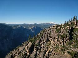
The hike to Taft Point is often paired with the hike to Sentinel Dome. There is a 5 mile loop that connects the two and offers breathtaking views of the valley along the south rim.
The trailhead takes you first to Sentinel Dome. You will reach a spur trail that will take you straight to the Sentinel Dome's summit after just under a mile of hiking. After enjoying the summit, go back to the spur trail and take the opposite direction to go to Taft Point. From the junction to Taft Point is about 1.5 miles, all while enjoying looking over the valley at an elevation of about 3,000 feet.
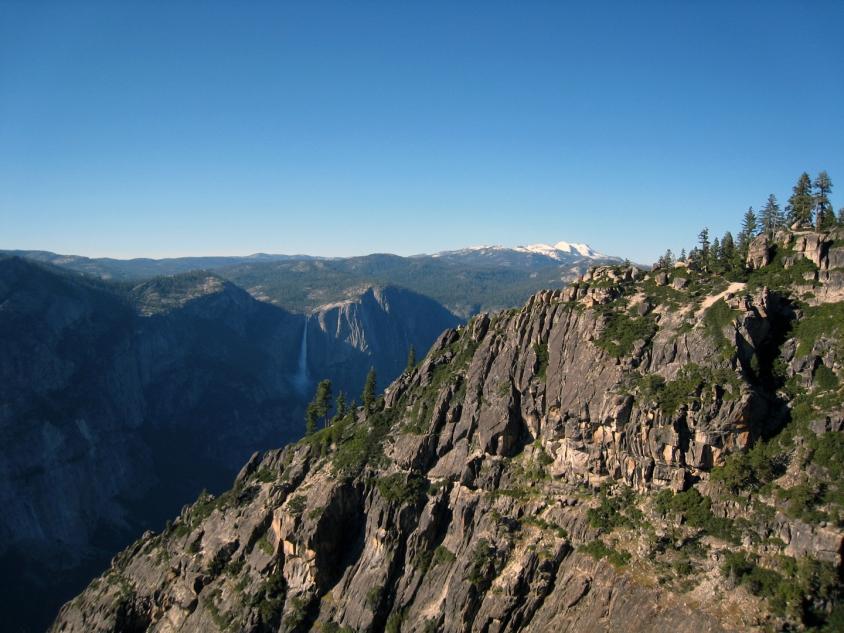
This hike offers particularly good views of El Capitan. It's a similar experience to hiking to Glacier Point. The hike up to Taft Point is a typical Yosemite walk through the woods. It's a relatively easy hike, with the elevation gain being around 200 feet.
Another unusual feature about Sentinel Dome and Taft Point are the fissures that line the outside of the cliff. These are large gashes on the edge of the cliff that go straight down and create some amazing scenery.
Because there are no guard rails, be sure to use caution when testing your fear of heights.
More Information
Yosemite National Park Itinerary
This Yosemite National Park Itinerary will help you get started as you plan your vacation to Yosemite National Park.
https://www.justgotravelstudios.com/collections/national-park-itineraries/products/yosemite-national-park-itinerary?ref=9zpxis0diinHiking Guide: Taft Point
Overview Taft Point is an overlook at the top of a 3500-foot cliff with breathtaking views of El Capitan and Yosemite Valley. At the edge, there is a sturdy steel railing that if anything, gives you a false but welcome sense of security. The photo opportunities are unreal here. Quick Facts Distance: 2.7 miles Hike Time: 2 hours Elevation Gain: 300 feet Fee: $35 for a 7-day pass to Yosemite National Park Dogs: No Difficulty: Easy Hiking to Taft Point We parked at the Sentinel Dome Trailhead (aka Taft Point Trailhead) on a Monday at 4:45 pm. There were maybe 30 spaces in the parking lot
https://backobeyond.blog/hiking-guide-taft-point/Yosemite Hikes: Taft Point and the Fissures
The Taft Point trail, a 2.2-mile round-trip hike from the Glacier Point Road to a sheer & spectacular overlook of Yosemite Valley
https://www.yosemitehikes.com/glacier-point-road/taft-point/taft-point.htmBe courteous, informed, and prepared. Read trailhead guidelines, stay on the trail, and don't feed the wildlife.
Read More
- Plan Ahead and Prepare
- Travel & camp on durable surfaces
- Dispose of waste properly
- Leave what you find
- Minimize campfire impacts
- Respect wildlife
- Be considerate of other visitors
Directions
From Yosemite Valley, Yosemite National Park
- Head southwest on Northside Dr toward Cook's Meadow LoopToll road(2.9 mi)
- Keep right to stay on Northside DrToll road(2.1 mi)
- Turn left onto Southside DrToll road(0.9 mi)
- Slight right onto CA-41 S/Wawona RdContinue to follow Wawona RdToll road(9.2 mi)
- Turn left onto Glacier Point RdToll roadParts of this road may be closed at certain times or days(13.2 mi)
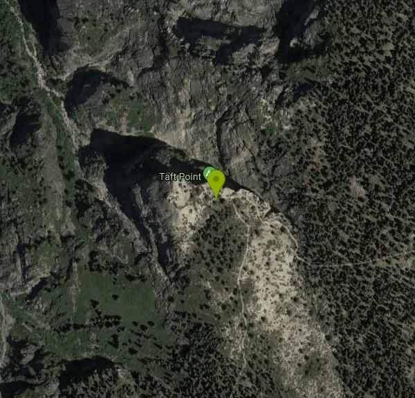
There is a trailhead just outside the parking lot
Other Hiking Trails Nearby
Four Mile Trail
Yosemite National Park
1.7 miles NEA 4.7-mile one-way hike connecting Yosemite Valley to Glacier Point with views of Yosemite Falls, Half Dome, El Capitan, and the Royal Arches — best visited in spring when the falls run full.
Hike 15.9 mi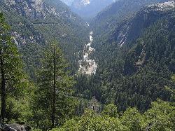
Valley Loop Trail
Yosemite Valley, Yosemite National Park
1.7 miles NAn 11.5-mile loop trail through the heart of Yosemite Valley following the Merced River past wildflower meadows, the Three Brothers, El Capitan, and Bridalveil Falls — with nearly no elevation gain.
Hike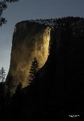
Horsetail Falls
Yosemite Valley, Yosemite National Park
1.7 miles NWFor a few weeks in mid-to-late February, Horsetail Falls glows orange with reflected sunset light — a rare 'firefall' phenomenon requiring clear skies and a parking permit.
Hike 0.3 mi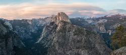
Glacier Point
Yosemite National Park
2.0 miles NEPerched at 7,214 feet above Yosemite Valley, Glacier Point delivers bird's-eye views of Half Dome, El Capitan, and multiple waterfalls — accessible by car or a 4.7-mile hike.
Hike 0.2 mi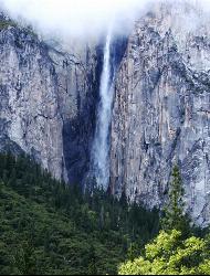
Ribbon Falls
Yosemite Valley, Yosemite National Park
2.2 miles WThe longest single-drop waterfall in North America at 1,612 feet — seasonal and best seen in late morning when the sun hits it directly, visible from El Capitan Road as you enter Yosemite Valley.
Hike 0.2 mi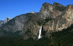
Bridalveil Falls
Yosemite Valley, Yosemite National Park
2.3 miles WA 620-foot waterfall that flows year-round and soaks onlookers with mist — Bridalveil Falls is just a quick half-mile paved walk from the trailhead, wheelchair accessible and pet friendly.
Hike 0.7 mi
Cook's Meadow Loop
Yosemite Valley, Yosemite National Park
2.3 miles NA nearly 1-mile, nearly flat loop in Sentinel Meadow with close-up views of Yosemite Falls, Half Dome, Glacier Point, and Sentinel Rock — Yosemite's best easy walk.
Hike 0.4-2.1 mi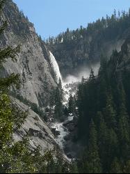
Illilouette Falls
Yosemite West, Yosemite National Park
2.4 miles EA 4-mile hike starting downhill from Glacier Point to a footbridge view of Illilouette Falls — with a side trip on the quieter Panorama Trail adding Half Dome and Nevada Falls views.
Hike 0.8 mi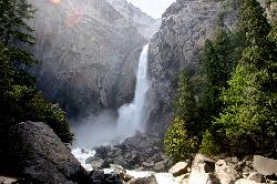
Lower Yosemite Falls
Yosemite Valley, Yosemite National Park
2.4 miles NA short, flat walk to the base of a 3,967-foot waterfall — twice the height of the Empire State Building and one of North America's tallest, best visited in spring or early summer before it dries.
Hike 1.9-2.9 mi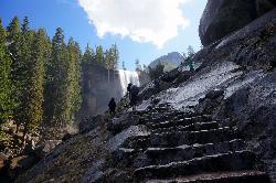
Mist Trail
Yosemite National Park
2.9 miles NEA steep, mist-soaked Yosemite staircase hike climbing 639 stone steps past Vernal and Nevada Falls — with Half Dome, Whitecap, and Mt. Broderick views from the switchbacks above.
Backpack, Hike 1.7 mi
Mono Meadow
Yosemite West, Yosemite National Park
3.1 miles SA short, lightly trafficked 3-mile round-trip hike through a wildflower meadow recovering from wildfire, offering simultaneous views of Mt. Starr King, Clarke Range, and Half Dome.
Hike 2.9 mi
Upper Yosemite Falls
Yosemite Valley, Yosemite National Park
3.2 miles NThe tallest waterfall in North America at 2,425 feet — a 7.2-mile, 2,600-ft-gain hike to the top of Upper Yosemite Falls with stunning valley views along the way.
Hike 0.5 mi
McGurk Meadow
Yosemite National Park
3.2 miles SWA flat, 0.8-mile walk through one of Yosemite's most secluded wildflower meadows, complete with a brook and a historic 1800s cabin — few visitors, pure charm.
Hike
Mirror Lake
Yosemite Valley, Yosemite National Park
3.9 miles NEA paved, car-free trail winds to this seasonal lake at the base of Half Dome, offering a still mirror reflection and a popular summer swimming hole.
Backpack, Hike, Swim 4.1 mi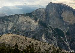
North Dome
Yosemite Valley, Yosemite National Park
3.9 miles NEA strenuous 10.4-mile hike through Yosemite forest to North Dome, rewarding hikers with the best straight-on view of Half Dome from 7,450 feet — plus a 0.6-mile detour to a 15-foot granite arch.
Backpack, Hike 2.1 mi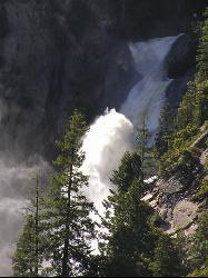
Snow Creek Falls
Yosemite Valley, Yosemite National Park
5.3 miles NEA 2,140-foot, seven-drop cascade tucked deep in Tenaya Canyon — best spotted from the Mirror Lake Loop, where you can also take a swim before hunting for the falls from the Snow Creek Trail junction.
Backpack, Hike 1.9 mi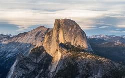
Half Dome
Yosemite Valley, Yosemite National Park
5.5 miles NEA grueling 14-mile round-trip hike with 4,800 feet of gain to the summit of Half Dome, including a cable section in the final 400 feet — a permit is required and a sunrise start is essential.
Hike 5.5 mi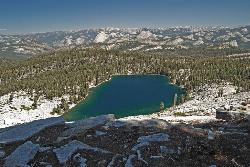
Ostrander Lake
Wawona, California
6.8 miles SEAn 11.4-mile Yosemite hike to a semi-secluded swim lake surrounded by granite mountains — wildflowers, streams, and meadows in summer; open for cross-country skiing in winter via Ostrander Lodge.
Hike, Swim 0.7 mi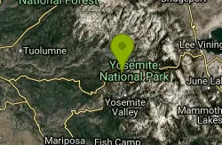
Lukens Lake
Tuolumne Meadows, Yosemite National Park
9.5 miles NA short 1.6-mile forest walk to a secluded lake famous for the luminescent shooting stars visible while you swim, plus a wildflower meadow that peaks in July.
Hike, Swim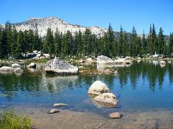
Crane Flat
Big Oak Flat, Yosemite National Park
10.9 miles WFramed between two giant sequoia groves, Crane Flat meadow is a quiet Yosemite base camp for birding, stargazing, and seasonal hikes to Lukens and Harden Lake.
Backpack, Camp, Hike, SnowshoeNearby Campsites
Merced River
Yosemite Valley, Yosemite National Park
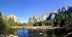
2.3 miles NEThe Merced River circles Yosemite Valley with whitewater, swimming holes, gold-panning spots, and unbeatable views of Yosemite Falls and Glacier Point at every bend.
Camp, Swim, Whitewater
Crane Flat
Big Oak Flat, Yosemite National Park
10.9 miles WFramed between two giant sequoia groves, Crane Flat meadow is a quiet Yosemite base camp for birding, stargazing, and seasonal hikes to Lukens and Harden Lake.
Backpack, Camp, Hike, Snowshoe 5.7 mi
Ten Lakes
Tuolumne Meadows, Yosemite National Park
13.8 miles NA 6.4-mile hike from Yosemite Creek to three of the Ten Lakes Basin's seven lakes, through wildflower meadows, forests, and past the Grand Canyon of the Tuolumne, gaining 2,200 feet.
Backpack, Camp, Hike 6.1 mi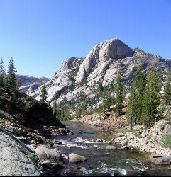
Glen Aulin
Wawona, California
16.9 miles NEAn 11-mile hike along the Tuolumne River to Glen Aulin with 800 feet of gain, passing Tuolumne Falls, Soda Springs, wildflower meadows, and the stunning White Cascade.
Backpack, Camp, Hike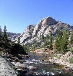
Glen Aulin
Glen Aulin, California
16.9 miles NEA popular introductory Yosemite High Country backcountry hike following the Tuolumne River to a High Sierra Camp beside the White Cascade waterfall, with further options to Waterwheel Falls.
Backpack, Camp, Hike, Swim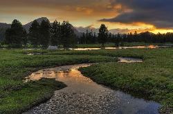
Tuolumne Meadows
Tuolumne County, California
18.1 miles NEA stunning alpine meadow in the high Sierra with granite domes and mountain views, the meandering Tuolumne River, and access to Yosemite backcountry — open summer only when the park road is clear.
Camp, Hike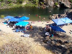
Briceburg Recreation Area
Midpines, California
22.3 miles WBriceburg is where State Route 140 drops out of the Sierra foothills and meets the Wild and Scenic Merced River, twelve miles east of Mariposa on the road to Yosemite, and it's one of the best public...
Camp, Kayak, Swim 4.0 mi
Saddlebag Lake
Lee Vining, California
25.2 miles NEAt 10,008 ft, this Eastern Sierra alpine lake offers exceptional trout fishing, a scenic four-mile loop, and a water taxi into the heart of the Twenty Lakes Basin.
Camp, Canoe, Hike
Bass Lake Recreation Area
Oakhurst, California
25.7 miles SWarm Sierra reservoir at 3,400 feet with Forest Service beaches and campgrounds, a waterfall trail at the north end, and Yosemite's south gate twenty miles up the road.
Camp, Canoe, Hike, Kayak, Swim
Crystal Lake
Mammoth Lakes, California
33.3 miles EA 3.2-mile roundtrip Sierra day hike past Lake George, Lake Marie, and Lake Mamie, ending at Crystal Lake beneath the monolith Crystal Crag — shaded trail with room to swim, fish, or picnic lakeside.
Camp, Hike
Standish Hickey Area
Lakeshore, California
41.9 miles SEA two-mile stretch of the south fork of the Eel River inside a redwood canyon 180 miles from San Francisco — swim, kayak, fish, or hike, then camp near the 1,200-year-old Captain Miles Standish Tree.
Backpack, Camp, Hike, Kayak, Swim
Wild Willy's Hot Spring
Mammoth Lakes, California
45.7 miles EA soaking hot spring in Long Valley's open sagebrush plain — pools range from 95°F to 105°F, with a larger deeper pool and smaller, hotter pools, reached by a 0.2-mile wooden boardwalk from the parking area.
Camp, Hot Springs
Crowley Lake Campground
Crowley Lake, California
46.8 miles ENestled in the stunning Eastern Sierra near Crowley Lake, this BLM campground offers first-come, first-served sites for tents, RVs, and trailers with breathtaking high-desert views.
Camp


