


5 Hiking Trails near Plaikni Falls
first prev 1 next lastShowing Hiking Trails within 50 miles Distance miles of Plaikni Falls near Chiloquin, Oregon City, Zip, or Address
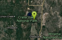
Pinnacles Valley Trail
Chiloquin, Oregon
4.5 miles SEThe Pinnacles Trail follows a canyon rim past hundreds of eerie volcanic spires in Crater Lake National Park's quiet southeast corner.
Hike 2.4 mi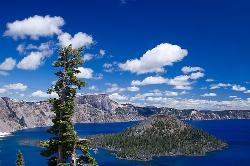
Wizard Island Summit Trail
Crater Lake National Park
5.0 miles NWReach one of the world's finest volcanic cinder cones by boat across Crater Lake, then hike 2.5 miles up lava rock to the Witches Cauldron crater at the summit.
Hike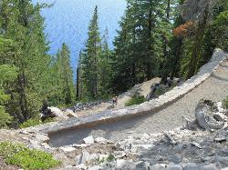
Cleetwood Cove Trail
Crater Lake National Park, Oregon
5.5 miles NThe only legal shoreline access in Crater Lake National Park — a steep strenuous switchback hike to the water's edge, with cliff jumping options from about 20 feet into 38-50°F water.
Dive, Hike, Swim
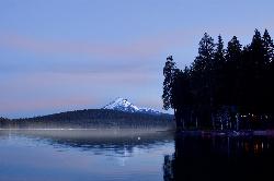
Aspen Point at Lake of the Woods
Klamath Falls, Oregon
36.7 miles SA Forest Service day use area and beach on the northeast shore of Lake of the Woods, high in the southern Oregon Cascades between Medford and Klamath Falls.
Camp, Canoe, Hike, Kayak, Swim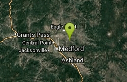
Upper Table Rock
Eagle Point, Oregon
49.5 miles SWUpper Table Rock and Lower Table Rock are two prominent volcanic plateaus located just north of the Rogue River in Jackson County, Oregon.
Hike


