


Idaho Centennial Trail
Warren, Idaho
| Address: | Idaho Centennial Trail, Warren, ID 83671, USA |
| GPS: |
45°29'35.9"N 115°20'9.2"W Maps | Directions |
| State: | Idaho |
| Trail Length: | 900.00 miles |
| Trail Type: | Point A to B |
| Hike Difficulty: | Advanced |
| Trails/Routes: | 14.9 mi |
Lakes Rivers Waterfalls Streams Trails Rocks Wildflowers Ponds Fall Colors Pet Friendly Fishing State Park Paintball Permitted
Camp and Hike
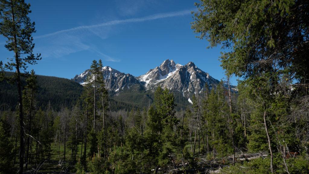
The Idaho Centennial Trail (ICT) display much of Idaho's Wild Wild West nature. You can find intricately carved red rock, and windy jewel toned rivers. There are a couple of different rivers this hike follows. It follows the Salmon River, Maple Creek, and ultimately leads to Idaho's famous Snake River. The main tail branches off into many different hikes along its way, which makes taking breaks, or bookmarking your progress simple. The Centennial Trail begins near Murphy Hot Springs, goes through the Snake River near Glenn's Ferry, and then goes up through the mountains. It is a 900 mile hike, and is riddled with some of Idaho's most beautiful nature spots.
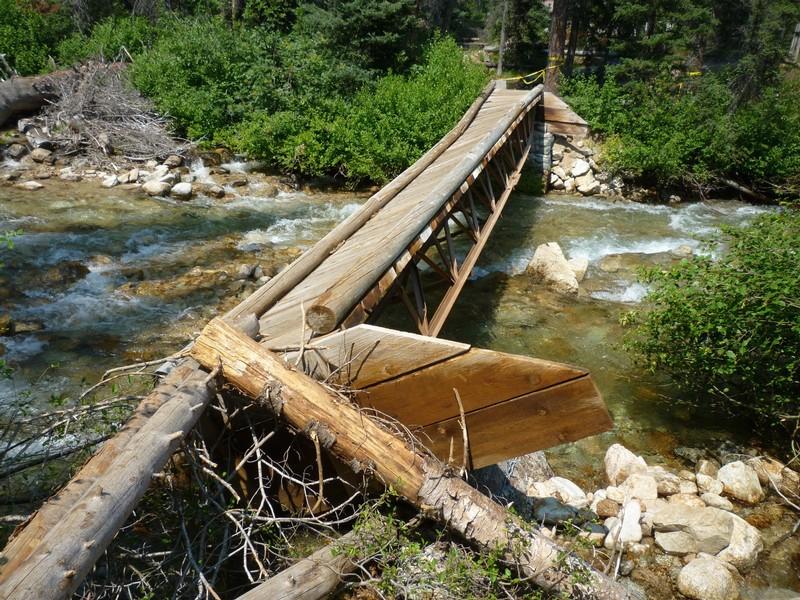
There are many ways to complete the trail. Some like to complete the trail by foot, mountain bike, or use a small motorize vehicle. There have been only a few people who have completed the trail in its entirety by foot, which could make it truly a daunting hike. However, dedication and an even pace can help one with the task. Because this trail is 900 miles long, the hiker can pick where he/she would like to start or stop. It is important to remember that the trail may change due to weathering conditions. Earthquakes, excessive rainfall, mudslides, etc could cause the trail to change, and because many parts of the trail are not maintained, it could be dangerous.
The Centennial Trail is primarily public land, but various campsites along the way are private. These private campsites require permission to stay. It would be wise to ask for permission before you begin your hike. Having the security of a place to sleep before night fall is helpful, because the hike cannot be completed in one day. It is also vital to plan out your water supply while on this hike.
In all, the Idaho Centennial Trail does not need to be completed in its entirety to be enjoyed. It is a beautiful hike along a cooling river for all to enjoy. It can be an easy hike, difficult hike, or a moderate hike. It is up you!
More Information
Be courteous, informed, and prepared. Read trailhead guidelines, stay on the trail, and don't feed the wildlife.
Read More
- Plan Ahead and Prepare
- Travel & camp on durable surfaces
- Dispose of waste properly
- Leave what you find
- Minimize campfire impacts
- Respect wildlife
- Be considerate of other visitors
Directions
From Warren, Idaho
- Head southwest toward National Forest Develop Rd 340 Rd (0.2 mi)
- Turn left onto National Forest Develop Rd 340 Rd (0.1 mi)
- Continue onto NF-340 (1.1 mi)
- Continue onto NF-21/
Warren Wagon Rd Continue to follow Warren Wagon Rd(42.5 mi) - Turn right onto ID-55 N/
W Lake St Continue to follow ID-55 N(10.8 mi) - Turn right onto US-95 N/
N Norris Ave Continue to follow US-95 N(78.9 mi) - Turn right onto W Main St (1.1 mi)
- Turn right (0.1 mi)
- Turn left onto Elm St (315 ft)
- Turn right onto Mt Idaho Grade Rd (2.4 mi)
- Slight left toward Mt Idaho Grade Rd (266 ft)
- Slight left onto Mt Idaho Grade Rd (7.0 mi)
- Merge onto ID-14 E (38.1 mi)
- Turn right onto Red River Rd (5.4 mi)
- Continue onto Forrest Service Rd 1818 (0.6 mi)
- Forrest Service Rd 1818 turns right and becomes 22 Rd/
Red River Rd Continue to follow Red River Rd(6.1 mi) - Slight right to stay on Red River Rd (1.8 mi)
- Slight right onto Dixie Rd (2.8 mi)
- Turn left onto Jack Mountain Rd (2.6 mi)
- Turn left onto Big Mallard Creek Rd (95 ft)
- Slight right to stay on Big Mallard Creek Rd (102 ft)
- Turn left to stay on Big Mallard Creek Rd (15.8 mi)

Other Hiking Trails Nearby

Loon Lake
McCall, Idaho
30.1 miles SWA 10-plus-mile backpack to a quaint mountain lake and a long-abandoned ghost plane stashed at the leeward shore — two forested routes form a loop, one 4.6 miles, one 5.7 miles.
Backpack, Hike, Horseback, Mountain Bike 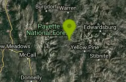
Cluster Hot Spring
Yellow Pine, Idaho
34.6 miles SWA remote hot spring hidden above the South Fork Salmon River — found by hikers who spotted steam across the canyon — requiring a raft and life jackets to reach.
Hike, Hot Springs 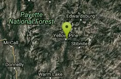
Elk River Campground
Yellow Pine, Idaho
37.3 miles SA 24-site campground in a scenic pine forest beside Elk Creek, minutes from Idaho's largest waterfall and the largest and oldest cedar east of the Cascades.
Camp, Hike 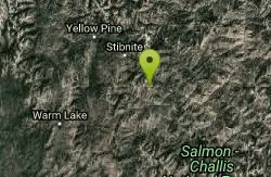
Big Baldy Fire Lookout
Cascade, Idaho
49.5 miles SA demanding summit hike to a still-standing fire lookout deep in the Frank Church River of No Return Wilderness — the largest wilderness in the lower 48.
Hike


