


Kings Mountain Point Day Use Area
Troy
Hike and Swim
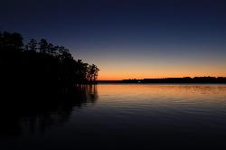
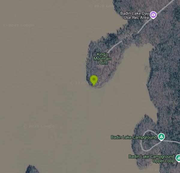
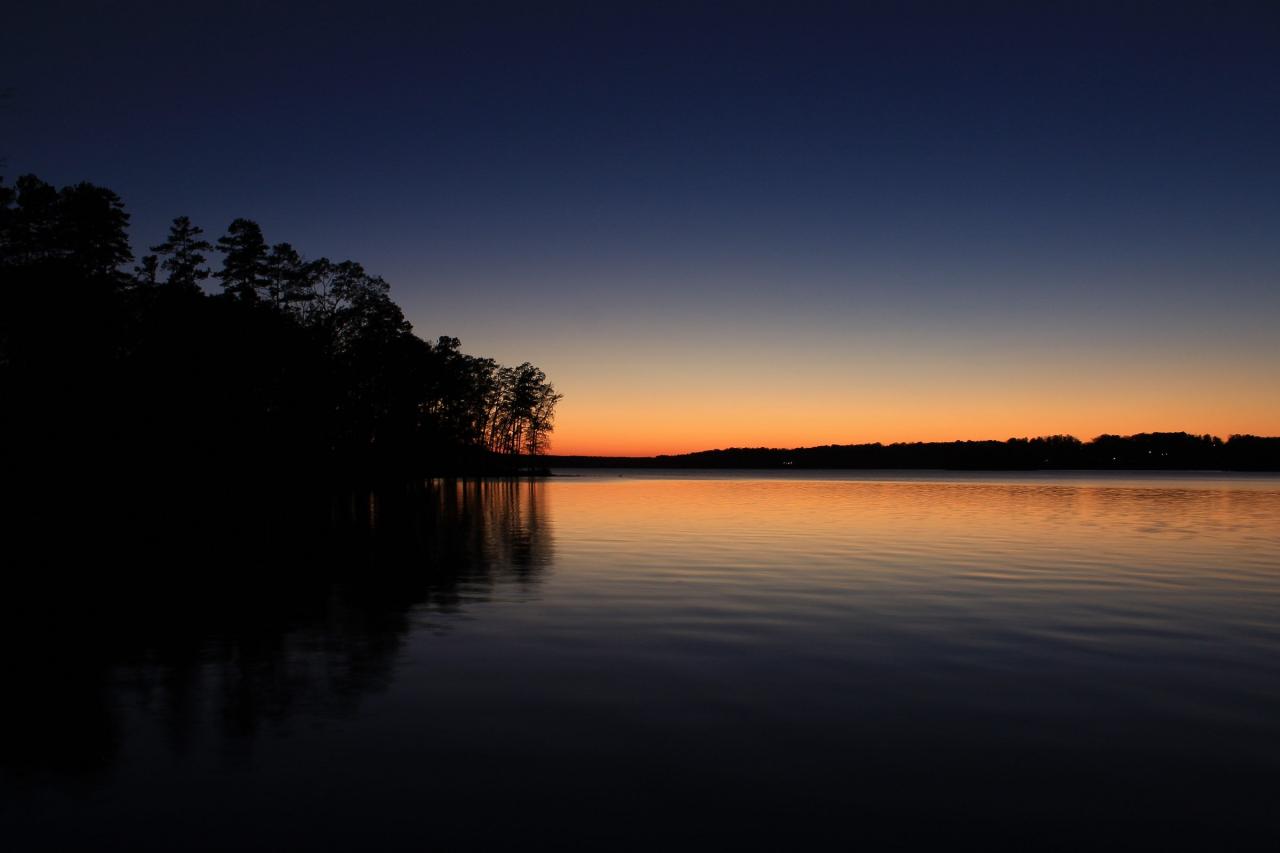
Kings Mountain Point Day Use Area is a free U.S. Forest Service picnic and shoreline area in the Badin Lake Recreation Area of Uwharrie National Forest, run by the Uwharrie Ranger District in Montgomery County. It covers a wooded peninsula of pines and mixed hardwoods that pushes out into Badin Lake, so the water wraps around three sides of the grounds. Badin Lake is a 5,350-acre impoundment of the Yadkin River, dammed in 1917 to power the aluminum works at Badin, and most of its eastern shore is national forest. The Badin Lake Campground, the group camp and Arrowhead Campground sit a short distance up the same forest road, but this point is the day-use spot where anyone can swim without paying for a campsite.
From Troy, take NC 109 north for about 10 miles and turn left on Mullinix Road (SR 1154) at the brown Badin Lake Recreation Area sign. At the stop sign turn right on Forest Road 544, then right on Forest Road 597, then take the first left onto Forest Road 597A and follow the signs to the picnic area. The Forest Service lists the address as 398 Kings Mountain Rd, Troy, NC 27371. A paved lot holds about 50 cars and stays open to the public even when the picnic pavilion has been booked by a group.
Swimming here is informal lake swimming off the shoreline of the point, reached from the paved half-mile loop trail that circles the picnic sites. The Forest Service and Montgomery County both list swimming as an activity at the point, but no roped beach, sand or lifeguard service is described, so you swim at your own risk. Expect a natural, unimproved reservoir shoreline rather than a groomed sand beach, and treat the water as deep, since Badin Lake fills a river valley and reaches about 190 feet at its deepest. Summer water temperatures average in the mid 80s Fahrenheit, which makes June through September the practical season. Children need close supervision and a life jacket.
There is no entrance or day-use fee. The only charge at the site is for reserving the large picnic pavilion through Recreation.gov. The Forest Service page gives hours of 7 am to 9 pm, seven days a week, all year, while Recreation.gov and the county guide list slightly longer evening hours, so plan to be out by 9 pm. Camping, horses, unlicensed vehicles, alcohol and fireworks are all prohibited at the point. The current Forest Service page says drinking water is not available, so bring your own. Restrooms include two flush toilets near the pavilion and five vault toilets.
Badin Lake is open to motorboats, jet skis and water skiers, and bass tournaments run most weekends from March through October, so stay close to shore and watch for boat wakes. The piers are renovated from time to time, and shoreline fishing stays open when they are. The Forest Service also runs prescribed burns in a Kings Mountain Point burn unit, which can leave the area smoky for a few days; the Uwharrie Ranger District at (910) 576-6391 can tell you whether a burn is planned.
Beyond the water, the point has 34 picnic sites with tables and grills, four accessible fishing piers, a 9-hole disc golf course and access to the Badin Lake Hiking Trail, a loop that follows the shoreline toward the campgrounds and Cove Boat Ramp. Anglers come for largemouth, striped and white bass, crappie, bream and catfish.
More Information
Be courteous, informed, and prepared. Read trailhead guidelines, stay on the trail, and don't feed the wildlife.
Read More
- Plan Ahead and Prepare
- Travel & camp on durable surfaces
- Dispose of waste properly
- Leave what you find
- Minimize campfire impacts
- Respect wildlife
- Be considerate of other visitors
Directions
From Troy
- Head north on Franklin St toward Congress St (180 ft)
- Turn left onto Congress St (0.2 mi)
- Turn left onto River St (331 ft)
- River St turns slightly right and becomes Ferry St (276 ft)
- Continue onto 19th St (0.3 mi)
- Turn right onto 2nd Ave (0.2 mi)
- Turn right onto 23rd St (0.1 mi)
- Turn right to merge onto I-787 S (8.1 mi)
- Take exit 1 to merge onto I-87 SToll road(113 mi)
- Take exit 15 for I-287 S/
NY-17 S toward New Jersey Entering New Jersey(0.7 mi) - Continue onto I-287 S (0.6 mi)
- Take exit 66 on the left for NJ-17 S toward Mahwah (0.4 mi)
- Continue onto NJ-17 SPass by Extra Space Storage (on the right in 4.6 mi)(12.6 mi)
- Take the exit onto Garden State Pkwy S toward Shore PtsToll road(33.4 mi)
- Take exit 129 for I-95 toward New York City/
Philadelphia Toll road(1.0 mi) - Keep left, follow signs for I-95 S/
NJ Turnpike/ Trenton Toll road(0.1 mi) - Slight left to merge onto I-95 S/
NJ Turnpike S Toll road(39.6 mi) - Continue onto NJ Tpke S/
NJ Turnpike S Toll road(48.8 mi) - Keep left to stay on NJ Tpke SToll road(1.9 mi)
- Continue onto US-40 W/
NJ Tpke S Toll road(0.5 mi) - Merge onto I-295 SToll roadEntering Delaware(7.3 mi)
- I-295 S turns left and becomes I-95 SToll road(8.3 mi)
- Keep left to stay on I-95 SToll roadEntering Maryland(43.5 mi)
- Keep left to continue on I-95 Express Toll, follow signs for Express EntranceToll road(6.5 mi)
- Keep right to stay on I-95 Express Toll, follow signs for I-95 S/
Baltimore Toll road(1.0 mi) - Merge onto I-95 SToll road(32.9 mi)
- Take exit 27 to merge onto I-495 W toward Silver SpringEntering Virginia(16.8 mi)
- Keep left to continue on 495 Express Lanes/
Capital Beltway Outer Lp/ Interstate 495 High Occupancy Toll Toll road(12.1 mi) - 495 Express Lanes/
Capital Beltway Outer Lp/ Interstate 495 High Occupancy Toll turns left and becomes I-495 S/ Capital Beltway Outer Lp (1.1 mi) - Take exit 57A for I-95 S toward Richmond (1.1 mi)
- Merge onto I-395 S (0.3 mi)
- Merge onto I-95 S (118 mi)
- Take exit 51 for I-85 S/
US-460 W toward Durham/ Atlanta (0.6 mi) - Continue onto I-85 S/
US-460 W Continue to follow I-85 SEntering North Carolina(128 mi) - Continue straight to stay on I-85 S (42.3 mi)
- Continue straight to stay on I-85 S (signs for I-73 N/
High Point/ Charlotte) (10.2 mi) - Take exit 122 for I-73 S/
US-220 S toward Asheboro (1.1 mi) - Take the ramp onto I-73/
US-220 S (22.0 mi) - Take exit 72B toward US-64 BUS W/
NC-49 S/ Lexington/ Charlotte (0.2 mi) - Turn right onto Albemarle Rd (0.1 mi)
- Slight right (0.2 mi)
- Merge onto State Hwy 49 S (12.0 mi)
- Turn left onto New Hope Rd (7.8 mi)
- Continue onto Coggins Mine Rd (3.0 mi)
- Turn left onto NC-109 S (1.0 mi)
- Turn right onto US Forest Service Rd 1154 (1.6 mi)
- Turn right onto McLeans Creek Rd/
US Frst Service Rd 544 (1.7 mi) - Turn right onto Badin Lake Rd (0.2 mi)
- Turn left onto Badin Campground Rd/
Badin Lake Rd Ra/ US Forest Service Rd 597a (1.4 mi) - Turn right (0.1 mi)
Other Swimming Holes and Hiking Trails Nearby
Buddle Creek Swim Area
Lexington
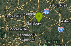
17.9 miles NWA free, buoyed public swim beach on High Rock Lake's Abbotts Creek arm south of Lexington, sharing a paved lot with the Buddle Creek boat ramp. No lifeguards; water is tested weekly in summer.
Canoe, Kayak, Swim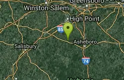
Nantahala Gorge Area
Trinity, North Carolina
22.1 miles NMultiple swimming places — several clothing-optional — near the Nantahala River and Gorge in western North Carolina, ranging from roadside to remote canyon spots.
Swim
Little Uwaharrie River
Trinity, North Carolina
22.1 miles NSwim near Trinity, North Carolina
Swim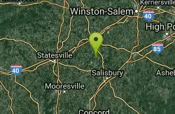
Bullhole
Woodleaf, North Carolina
36.5 miles NWSwim near Woodleaf, North Carolina
Swim


