


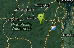
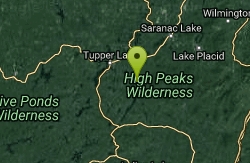
Lake Placid Area
Saugerties, New York
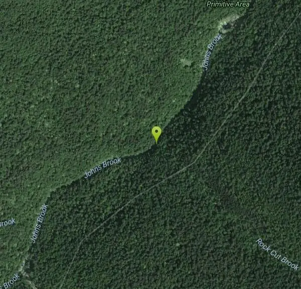
Swim
More Information
- Plan Ahead and Prepare
- Travel & camp on durable surfaces
- Dispose of waste properly
- Leave what you find
- Minimize campfire impacts
- Respect wildlife
- Be considerate of other visitors
Directions
From Saugerties, New York
- Head west on Main St toward James St (322 ft)
- Turn right onto Market St (459 ft)
- Continue onto NY-212 W/NY-32 N/Ulster AveContinue to follow NY-212 W/NY-32 N(0.9 mi)
- Turn left (signs for I-87 N/New York State Thruway N)Partial toll road(0.1 mi)
- Take the ramp onto I-87 NToll road(46.6 mi)
- Take exit 24 for I-87 N/I-90 E toward Albany/MontrealToll road(0.6 mi)
- Continue onto I-87 N/I-90 EPartial toll road(0.4 mi)
- Take exit 1N to merge onto I-87 N toward Albany International Airport/Montreal (105 mi)
- Take exit 30 for US-9 toward NY-73/Keene Valley/Keene (0.2 mi)
- Turn left onto U.S. 9 N (2.2 mi)
- Slight left onto NY-73 W (8.5 mi)
- Turn left onto Adirondack St (0.3 mi)
- Continue onto Interbrook Rd (0.3 mi)
- Turn left onto Smith Way (1.1 mi)
to add photos & videos and suggest edits
Edit Review
Delete Review
Other Swimming Holes Nearby
Add Location

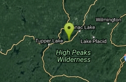
Keene Area
Saugerties, New York
4.5 miles NESwim near Saugerties, New York
Swim
Split Rock Falls Area
Skaneateles, New York
11.5 miles ESwim near Skaneateles, New York
Swim
Saranac Lakes Area
Salamanca, New York
21.0 miles WSwim near Salamanca, New York
Swim
Long Lake Area
Saugerties, New York
23.8 miles WSwim near Saugerties, New York
Swim
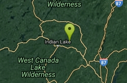
Blue Ledges Area
Indian Lake, New York
28.5 miles SWSwim near Indian Lake, New York
Swim
Black Hole
Wevertown, New York
37.3 miles SSwim near Wevertown, New York
Swim
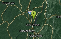
Trout Lake
Diamond Point, New York
43.7 miles SThere is very little public access to this lake - just a very narrow path between two chain link fences with very little parking. There may be parking problems but it is a great...
Swim
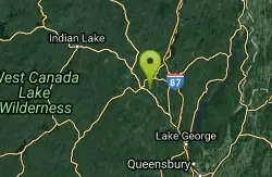
Speculator Area
Skaneateles, New York
44.4 miles SSwim near Skaneateles, New York
Swim
Point Au Roche State Park
Plattsburgh, New York
49.0 miles NESecluded bay/beach. This is a customary nudist location for Quebecers. Bathing suits: Very Optional (nudist only, please)
Swim


